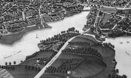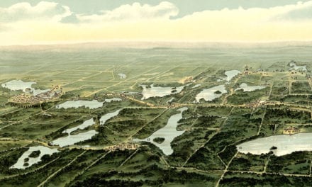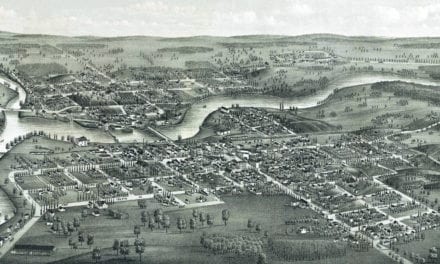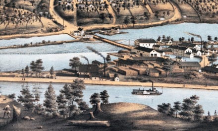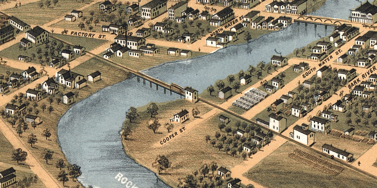
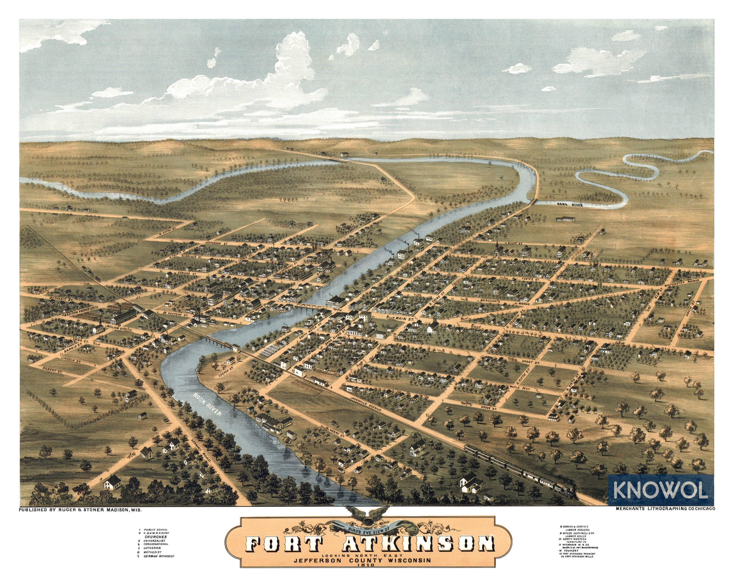
This historic map of Fort Atkinson, Wisconsin was created in 1870 by Albert Ruger & J.J. Stoner, prominent 19th century map makers. The map shows a bird’s eye view of the town as it used to be, including street names and old landmarks.
Landmarks on the map include Cornish & Curtis’s Lumber Dealers, Witcox Southwell & Company Lumber Dealer, North Western Furniture Company, Widmann Wagon Manufacturers, Fort Atkinson Foundry, and more.
This historic map of Fort Atkinson was restored by KNOWOL. Reproductions of the map are available here.
Historic Old Map of Fort Atkinson, WI from 1870
This old map of Fort Atkinson makes an attractive addition to your office, library, or den and can even be used to teach children the geography and history of the area. When you’re done exploring, click here to get your copy.