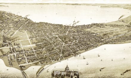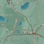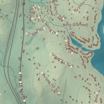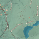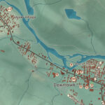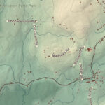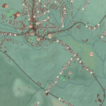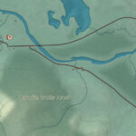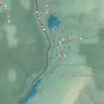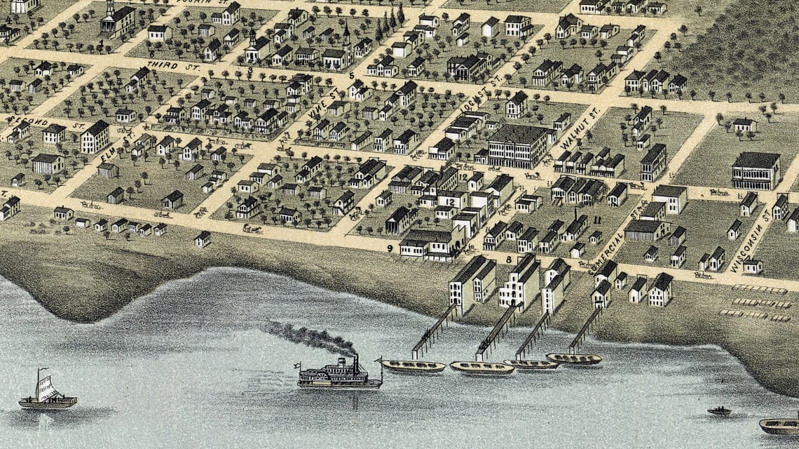
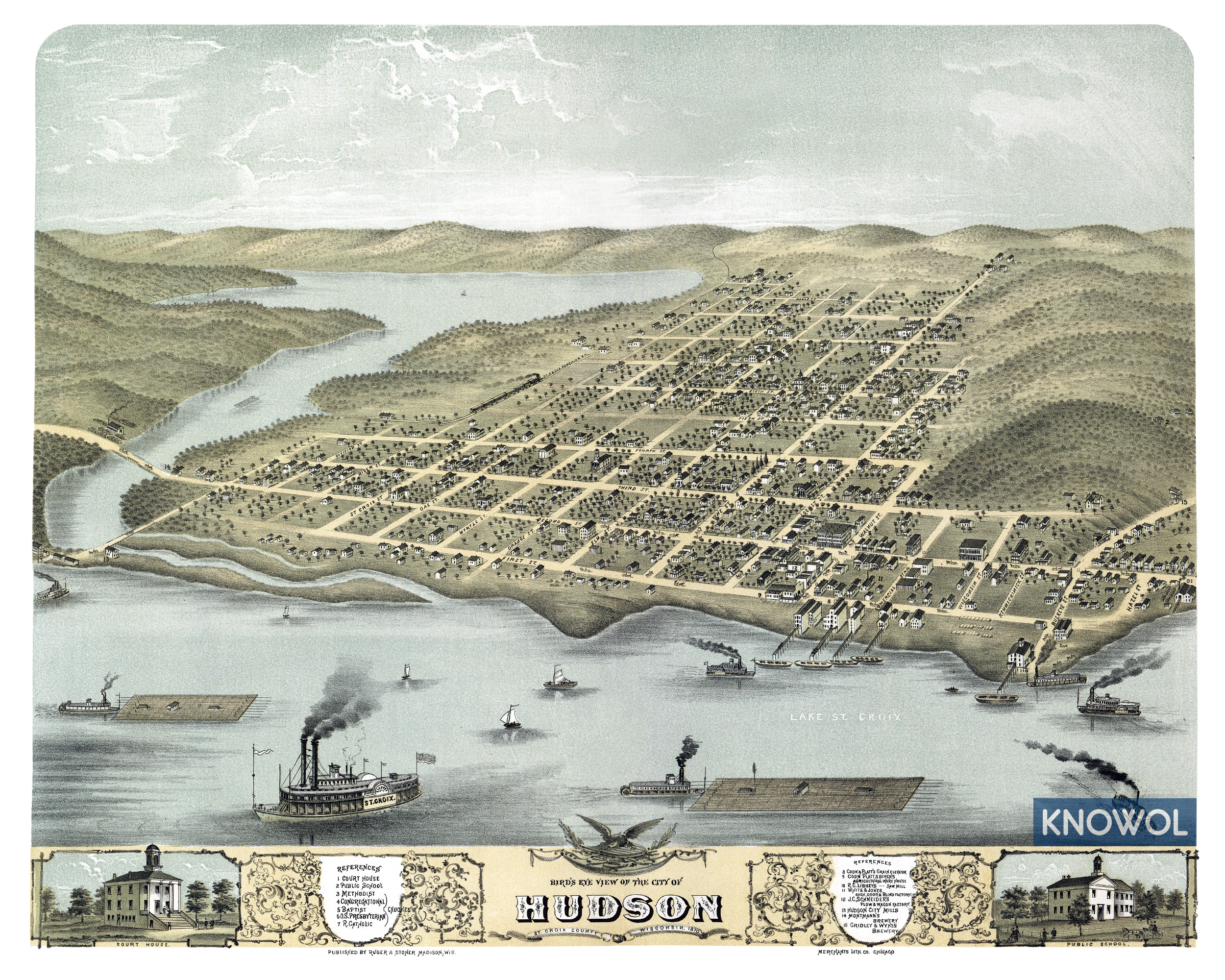
This map of Hudson, Wisconsin was created in 1870 by Ruger & Stoner, a prominent 19th century map publisher. The map shows a bird’s eye view of the town as it used to be, including street names and old landmarks.
Landmarks on the map include Coon & Platt’s Grain Elevator, R.C. Libbey’s Saw Mill, Schneider’s Plow & Wagon Factory, Hudson City Mills, Montmann’s Brewery, Gridley & Wyhes Brewery, Willow River, Lake St. Croix, and more.
This historic map of Hudson was restored by KNOWOL. Reproductions of the restored map are available here.
Bird’s Eye View of Hudson, Wisconsin in 1870
This old map of Hudson makes an attractive addition to your office, library, or den and can even be used to teach children the geography and history of the area. When you’re done exploring, click here to get your copy.