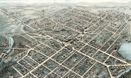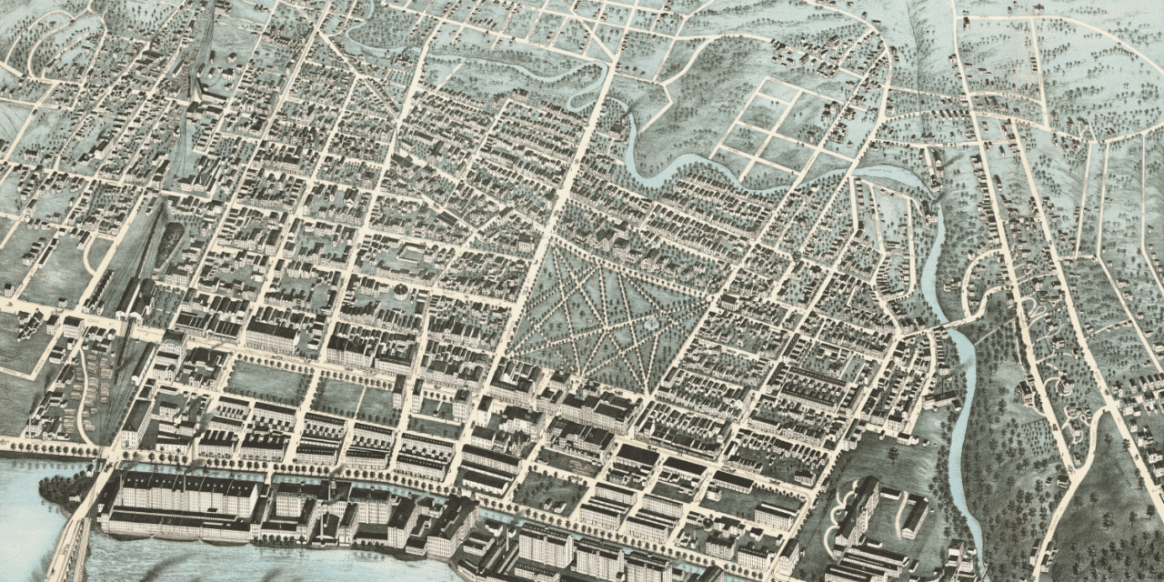
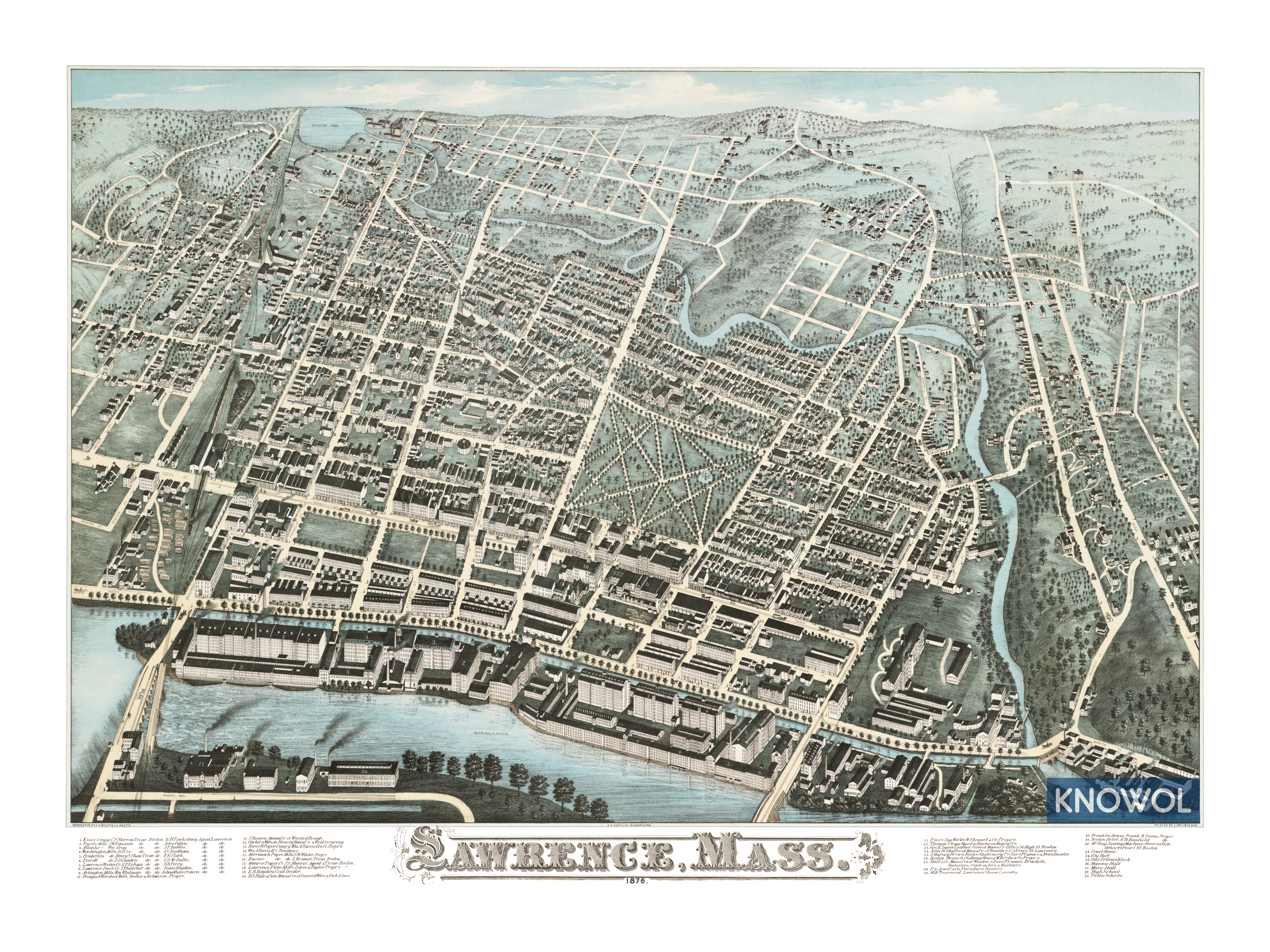
This map of Lawrence, Massachusetts was created in 1876 by J.C. Hazen, a prominent 19th century map maker. The map shows a bird’s eye view of Lawrence as it was, including street names and old landmarks.
The canals seen in the foreground of the map were dug on both the north and the south banks of the Merrimack River to provide power to the factories built on its banks. Mill owners and workers from across the country and world flocked to Lawrence to work in these newly built factories.
Landmarks on the map include Essex Company, Pacific Mills, Lawrence Duck Company, Prospect Worsted Mills, Carter & Wilson Hosiery, Merrimack Paper Mills, Lawrence Flour Mills, Essex Dye Works, Franklin House, Boston Hotel, Masonic Hall, and more.
This historic map of Lawrence, MA has been restored by KNOWOL. Reproductions of the map are available here.
Click here to see Lawrence, Massachusetts in 1876
This map of Lawrence will make an attractive addition to your office, library, or den and can even be used to teach children the geography and history of the area. When you’re done exploring, click here to get your copy.