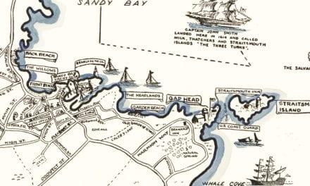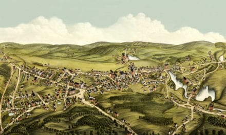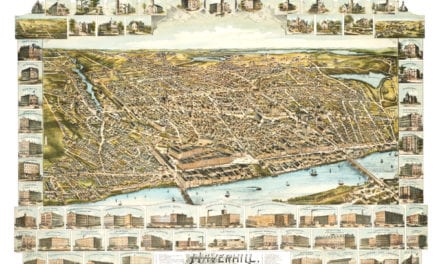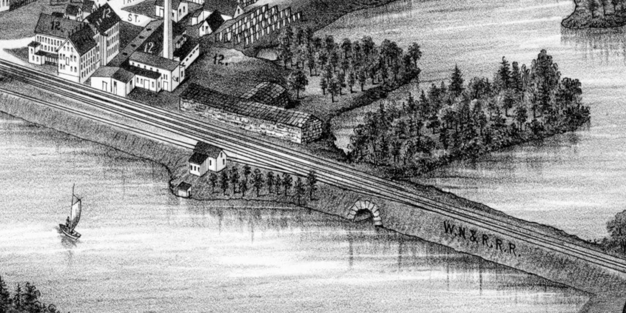
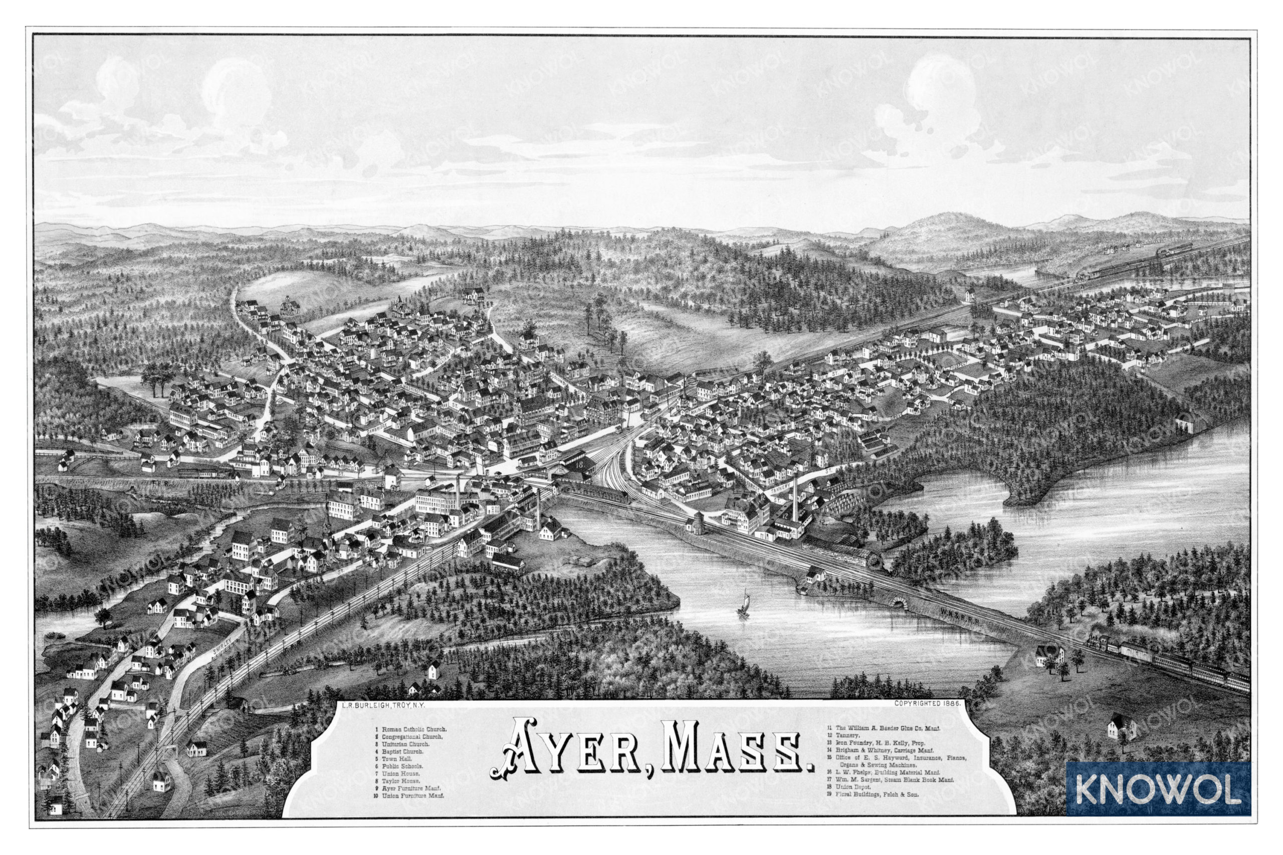
This historic map of Ayer, Massachusetts was created in 1886 by Lucien Burleigh, a prominent 19th century map maker. The map shows a bird’s eye view of the area as it used to be, including street names and old landmarks.
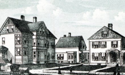
Landmarks on the map include Ayer Furniture Manufacturers, The William A. Baedar Glue Company, Kelly’s Iron Foundry, Brigham & Whitney Carriage Manufactury, Phelps Building Materials, Union Depot, Floral Buildings, and more.
This historic map of Ayer has been restored by KNOWOL. Reproductions of the restored map are available here.
Historic Old Map of Ayer, Massachusetts from 1886
This vintage map of Ayer makes an attractive addition to your office, library, or den, and can even be used to teach children the geography and history of the area. When you’re done exploring, click here to get your copy of the restored map.