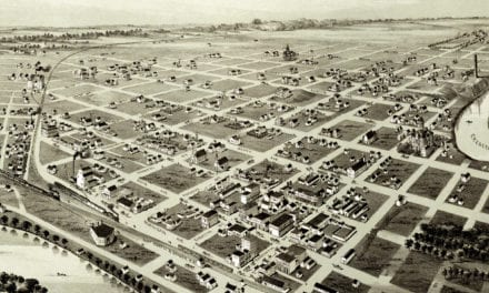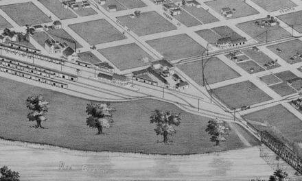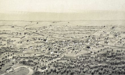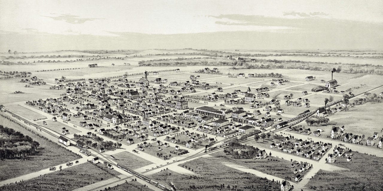
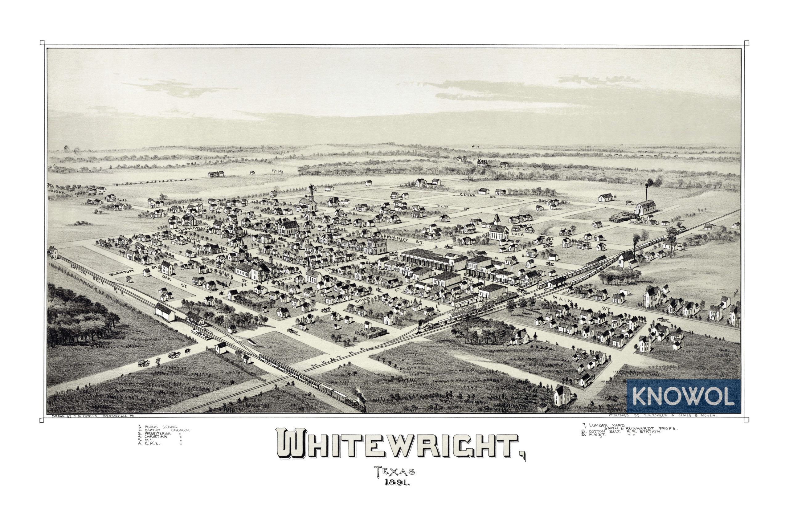
This map of Whitewright, Texas was created in 1891 by T.M. Fowler and James B. Moyer, prominent 19th century map makers. The map shows a bird’s eye view of Whitewright as it used to be, including street names and old landmarks.
Landmarks on the map include Smith & Reinhardt Lumber Yard, Cotton Belt Railroad Station, Missouri–Kansas–Texas Railroad Station, Whitewright Public School, and Baptist, Presbyterian, Christian & Methodist Episcopal Churches.
This historic map of Whitewright, TX has been restored by KNOWOL. Reproductions of the map are available here.
Click here to see Whitewright, Texas in 1891
This historic map of Whitewright will make an attractive addition to your office, library, or den and can even be used to teach children the geography and history of the area. When you’re done exploring, click here to get your copy.