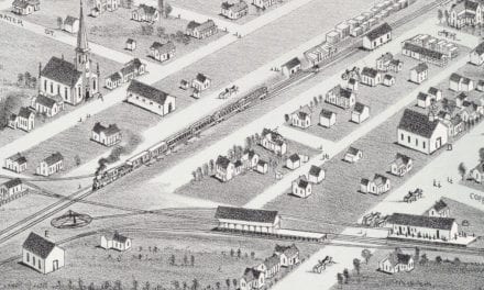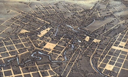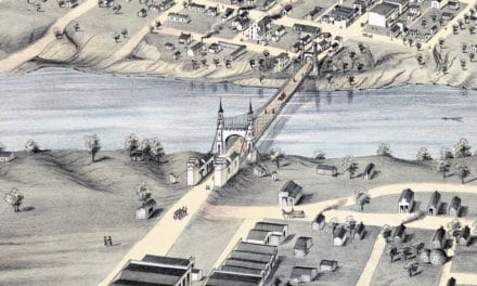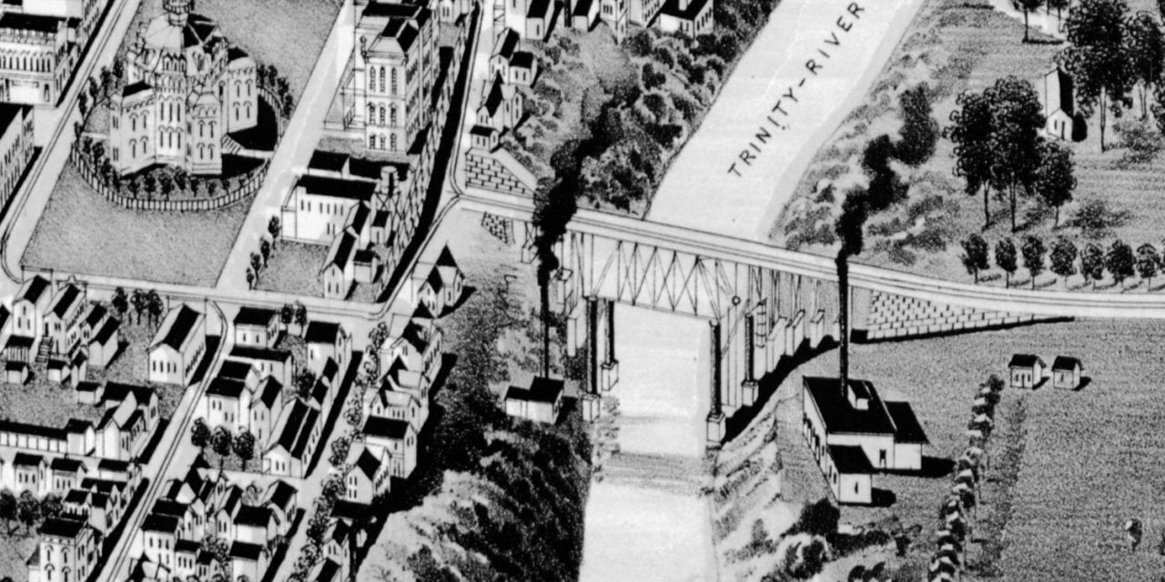
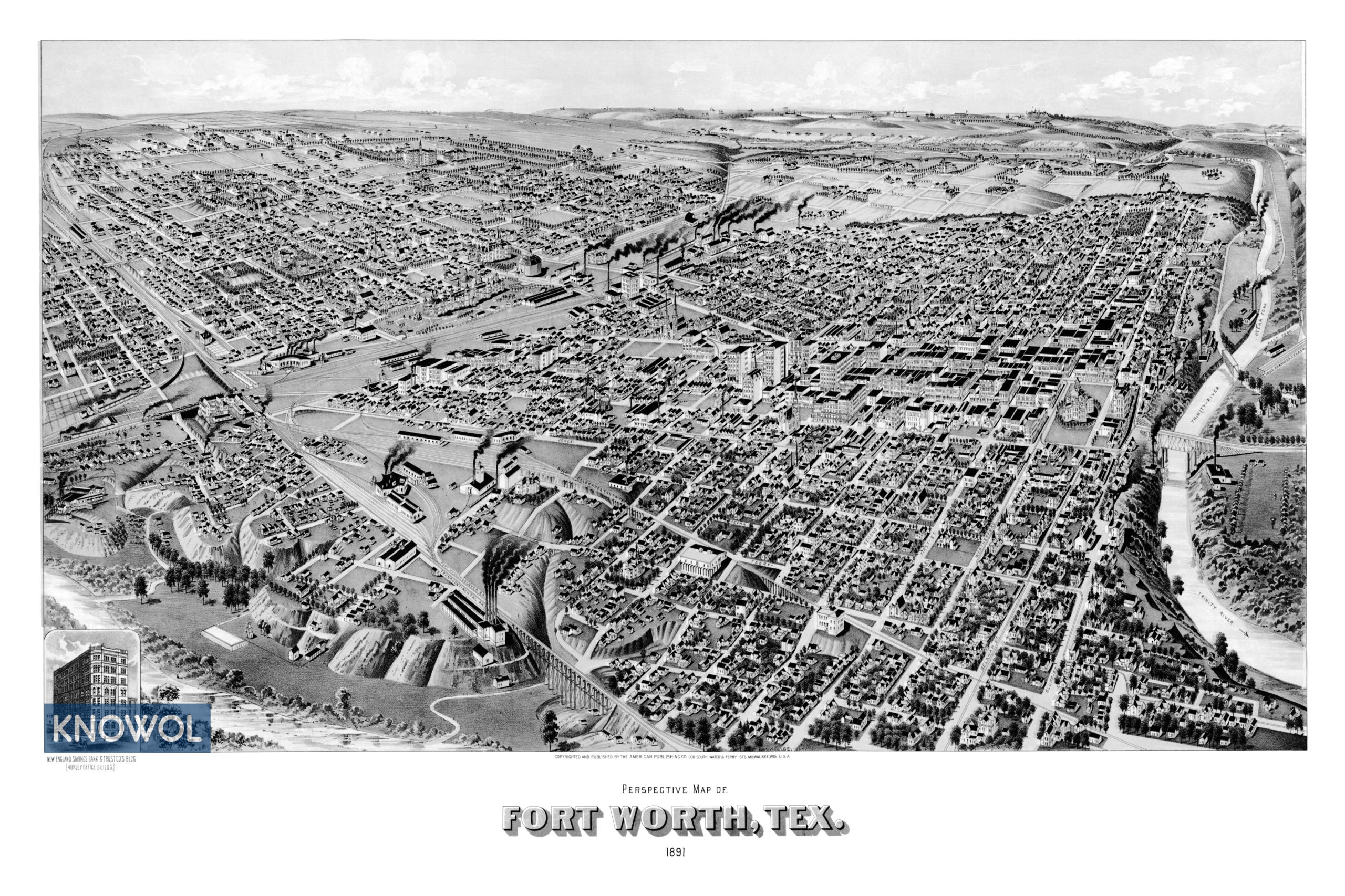
This historic map of Fort Worth, Texas was created in 1891 by Henry Wellge, a prominent 19th century map maker. The map shows a bird’s eye view of the city as it used to be, including street names and old landmarks.
Landmarks on the map include the Trinity River, Clear Fork, West Fork, the Transcontinental Railroad, Houston Street, the area now known as Downtown Fort Worth, Texas & Pacific Rail-yard, Fort Worth & Denver Railroad, Hurley Office Building, and more.
This historic map of Fort Worth has been restored by KNOWOL. Reproductions of the restored map are available here.
Historic Old Map of Fort Worth, Texas from 1891
This vintage map of Fort Worth makes an attractive addition to your office, library, or den, and can even be used to teach children the geography and history of the area. When you’re done exploring, click here to get your copy of the restored map.