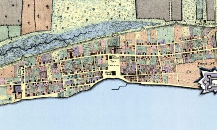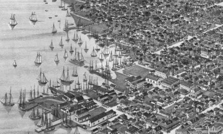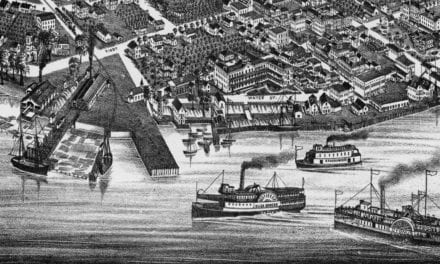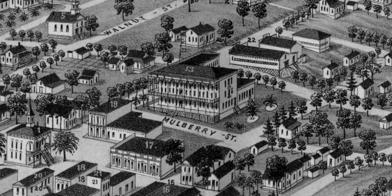
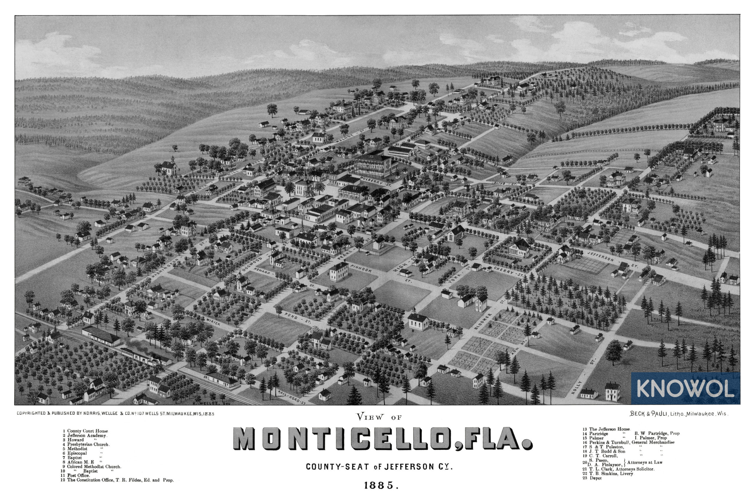
This historic map of Monticello, Florida was created in 1885 by Henry Wellge, a prominent 19th century map maker. The map shows a bird’s eye view of the city as it used to be, including street names and old landmarks.
Landmarks on the map include County Court House, Jefferson Academy, The Constitution Office, The Jefferson House, Perkins & Turnbull General Merchandise, Simkins Livery, Howard Academy, Presbyterian, Methodist, Episcopal, Baptist Churches, and more.
This historic map of Monticello has been restored by KNOWOL. Reproductions of the restored map are available here.
Historic Old Map of Monticello, Florida from 1885
This vintage map of Monticello makes an attractive addition to your office, library, or den, and can even be used to teach children the geography and history of the area. When you’re done exploring, click here to get your copy of the restored map.