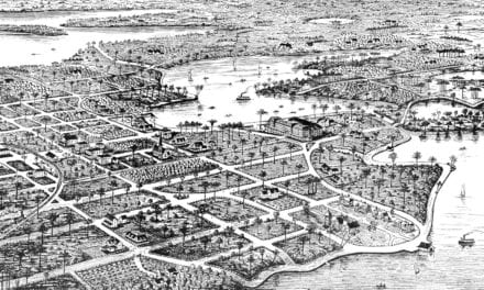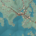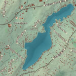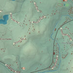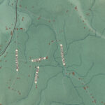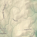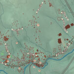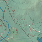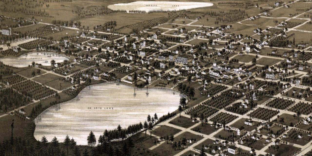
This historic old map of Lake City, Florida was created in 1885 by George Norris and Henry Wellge, two prominent 19th century cartographers. The map shows a bird’s eye view of Lake City as it used to be, including street names and old landmarks.
Landmarks on the map include State Agricultural College, Peabody School, Lake City Cotton Ginning Company, City Water Works, DeSoto Carriage Works, Bigelow’s General Merchandise, Henderson Fancy Groceries, Borum House, Adicks Baker & Confectioner, Hardon Livery Stable, and more.
This historic map of Lake City, FL has been restored by KNOWOL. Reproductions of the map are available here.
Bird’s Eye View of Lake City, Florida in 1885
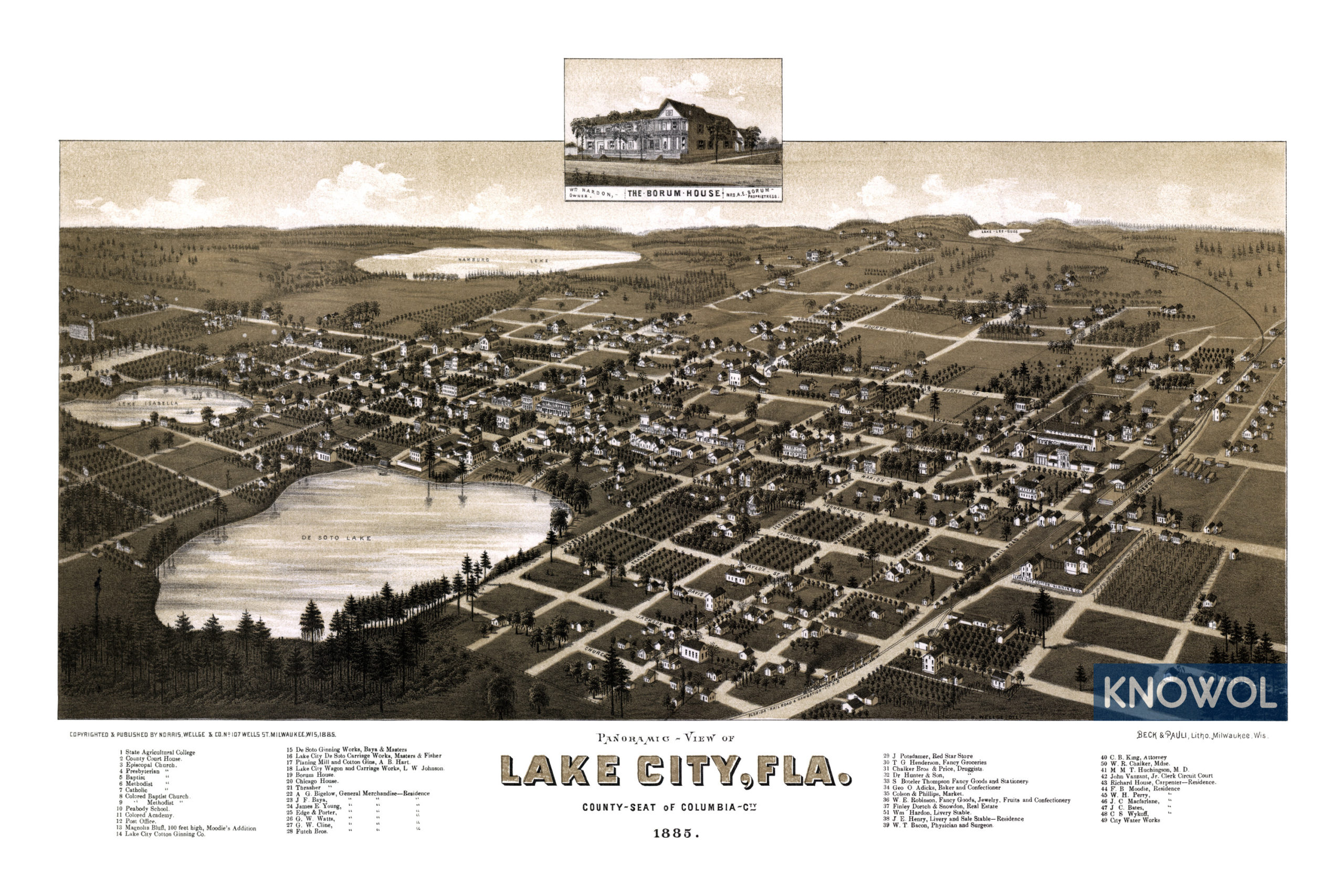
This old map of Lake City will make an attractive addition to your office, library, or den and can even be used to teach children the geography and history of the area. When you’re done exploring, click here to get your copy.