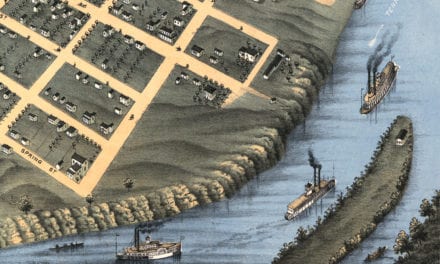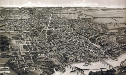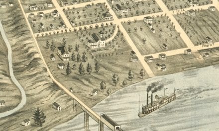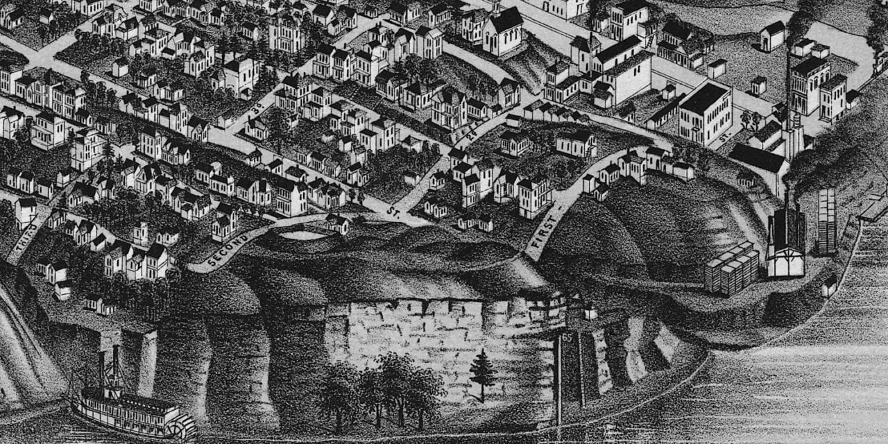
This historic map of Chattanooga, Tennessee was created in 1886 by George Norris & Henry Wellge, prominent 19th century map makers. The map shows a bird’s eye view of the area as it used to be, including street names and old landmarks.
Landmarks on the map include Chattanooga University, Notre Dame de Loudres Academy, Union Passenger Depot, Wesley Chapel, First Presbyterian Church, Lookout Mountain, Roan Iron Works, Chattanooga Iron Company, Lookout Fire Company, Old Fort Wood, Central Block, Chattanooga Furnace, and more.
This historic map of Chattanooga has been restored by KNOWOL. Reproductions of the restored map are available here.
Historic Old Map of Chattanooga, Tennessee from 1886
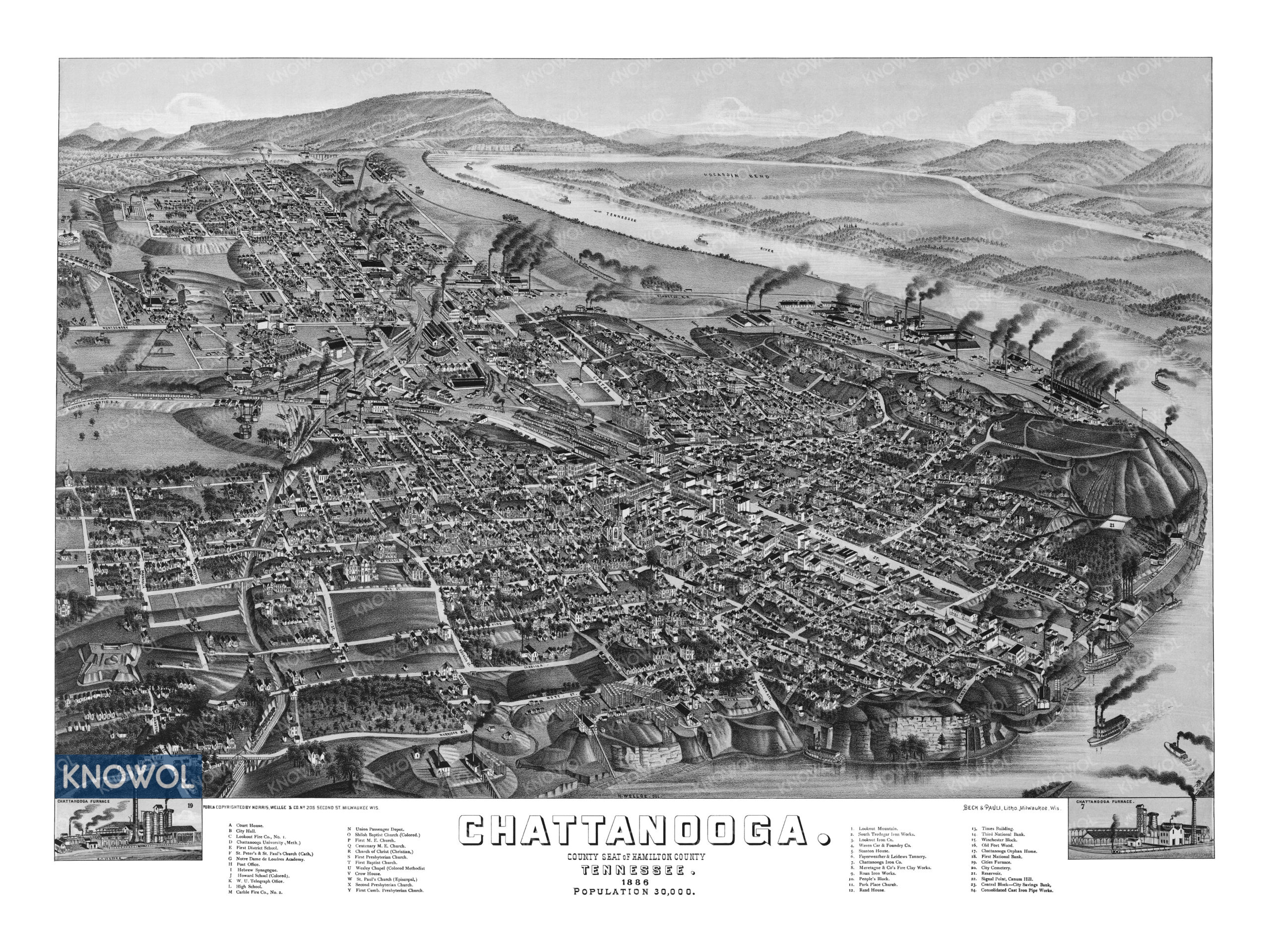
This vintage map of Chattanooga makes an attractive addition to your office, library, or den, and can even be used to teach children the geography and history of the area. When you’re done exploring, click here to get your copy of the restored map.