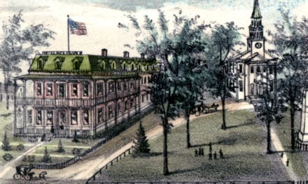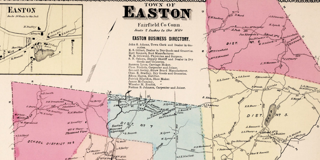
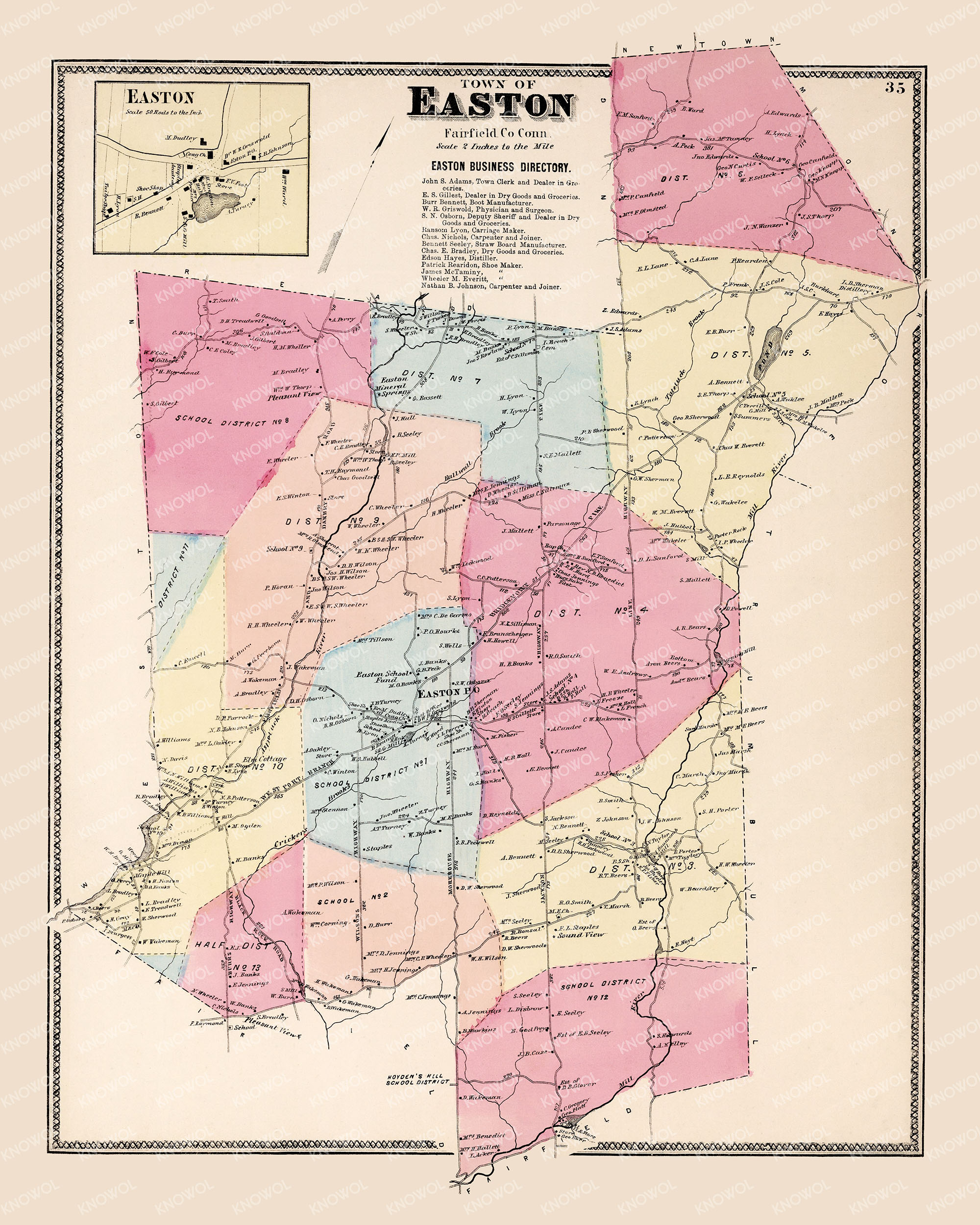
This vintage landowners map of Easton, Connecticut was created in 1867 by Frederick W. Beers. As a prominent figure in the world of 19th century American map making and publishing, Beers began his journey as a civil engineer and surveyor before founding the renowned firm of F.W. Beers, A.D. Ellis & Co. in 1866.
Beers’ firm was famous for its precision and accuracy in creating maps and atlases of cities, towns, and counties across the United States. The maps were so accurately detailed that they were widely used by the towns government officials and real estate developers. Beers’ maps remain valuable tools for historical researchers today.
The map depicts Easton divided into 13 districts, with each plot of land labeled with the name of the owner or business that occupied it at the time. Landmarks include Osborn’s Groceries, Sherman’s Distillery, Cricker Brook, Bennett’s Boots, Lyon Carriages, Pleasant View, Sound View, the Westport Branch Railroad, Leather Tannery, Easton Mills and more.
This vintage map of Easton, CT has been lovingly restored by KNOWOL. Reproductions of the restored map are available here.
Vintage Map of Easton, Connecticut from 1867
Beers passed away in Newtown, Connecticut in 1933 at the age of 94, but his contributions to cartography live on through works like these. Each map is a testament to his legacy of preserving local history for future generations.
This restored map of Easton makes an attractive addition to your office, library, or den and can even be used to teach children the geography and history of the area. When you’re done exploring, click here to get your copy of the restored map.