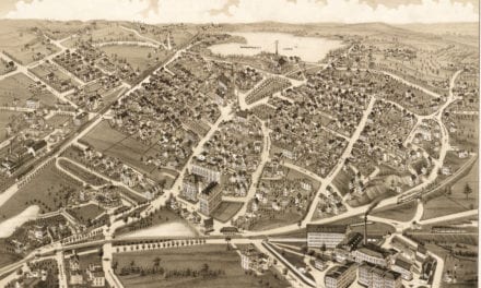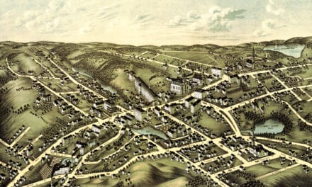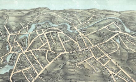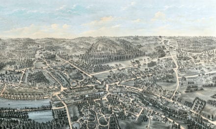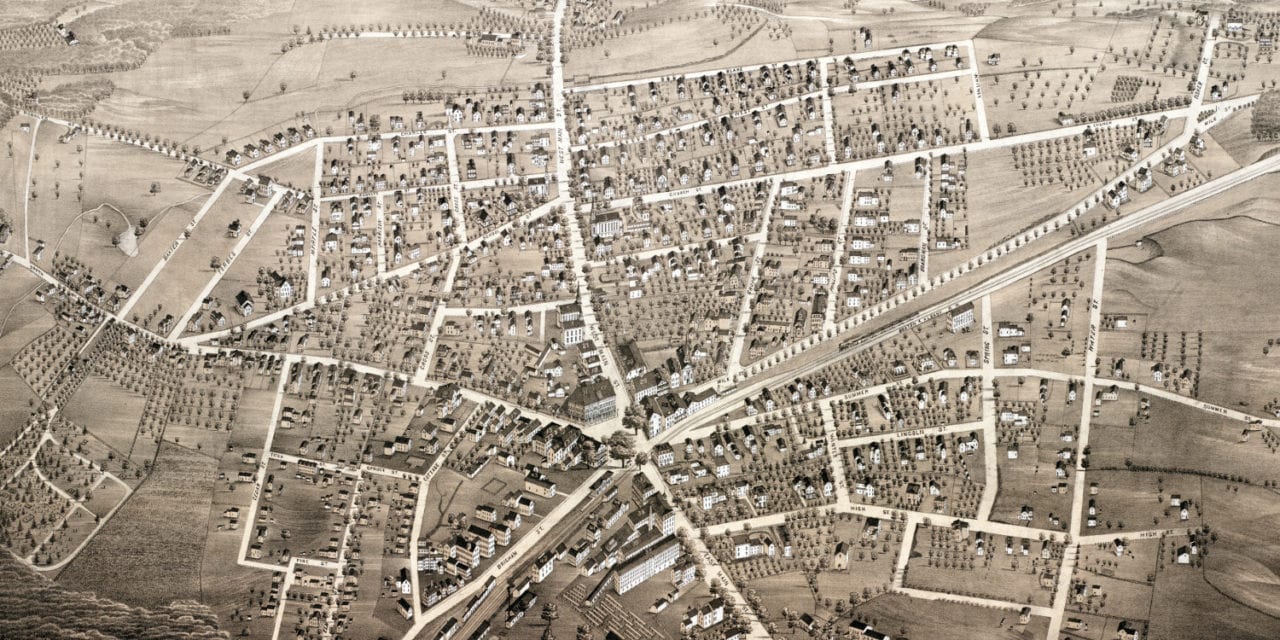
This map of Westborough, Massachusetts was created in 1880 by Beck & Pauli, prominent 19th century lithographers. The map shows a bird’s eye view of Westborough as it was, including street names, old landmarks, and residences.
Landmarks on the map include Westboro Hotel, Henry’s Block, Tewkesbury Watches & Jewelry, Boynton Bakery, Coob & Company Teas and Groceries, Maynard Fish and Oysters, Thayer’s Hotel, Searle’s Boarding House, National Straw Works, Eli Whitney Monument and more.
This historic map of Westboro has been restored by KNOWOL. Reproductions of the map are available here.
Bird’s Eye View of Westboro, Mass in 1880
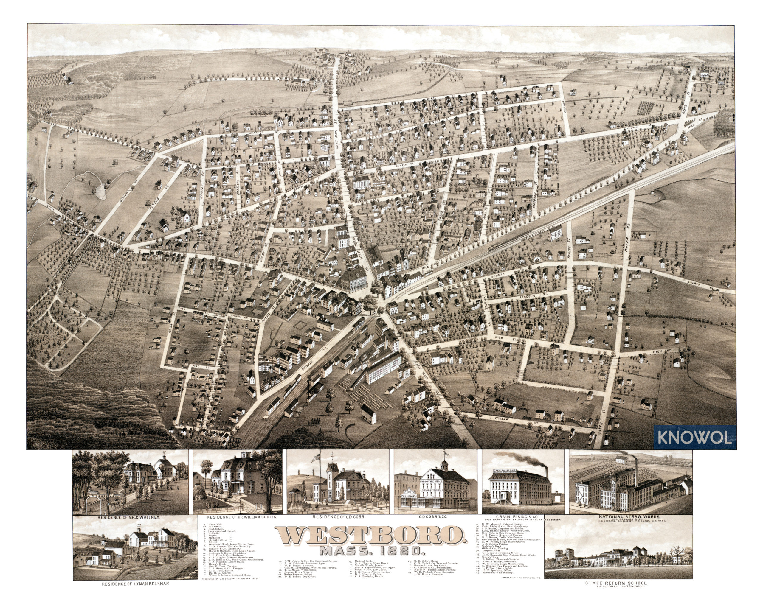
This old map of Westborough will make an attractive addition to your office, library, or den, and can even be used to teach children the geography and history of the area. When you’re done exploring, click here to get your copy.