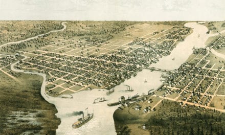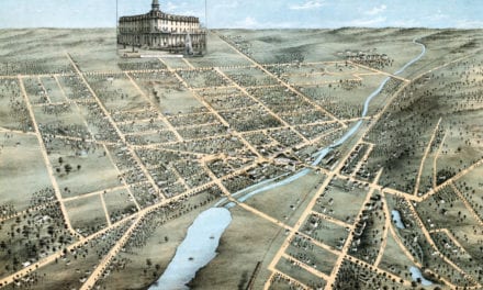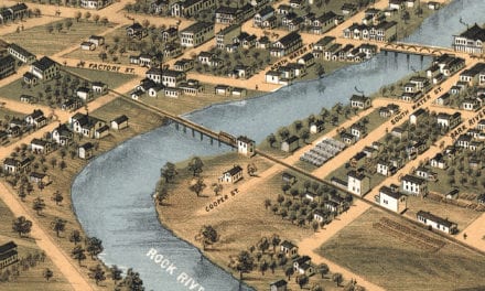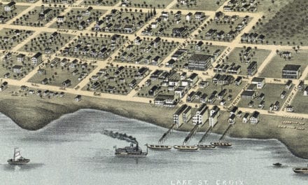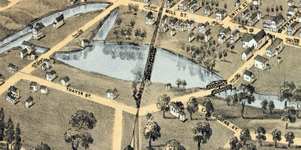
This historic map of Plymouth, Wisconsin was created in 1870 by H.H. Bailey, a prominent 19th century map maker. The map shows a bird’s eye view of the area as it used to be, including street names and old landmarks.
Landmarks on the map include G. Weber’s Brewery, Quitquioc Mills, Central Mills, German School, Public School, Odd Fellows Hall, Engine House, Hub & Spoke Factory, Union Hotel, and more.
This historic map of Plymouth has been restored by KNOWOL. Reproductions of the restored map are available here.
Historic Old Map of Plymouth, Wisconsin from 1870
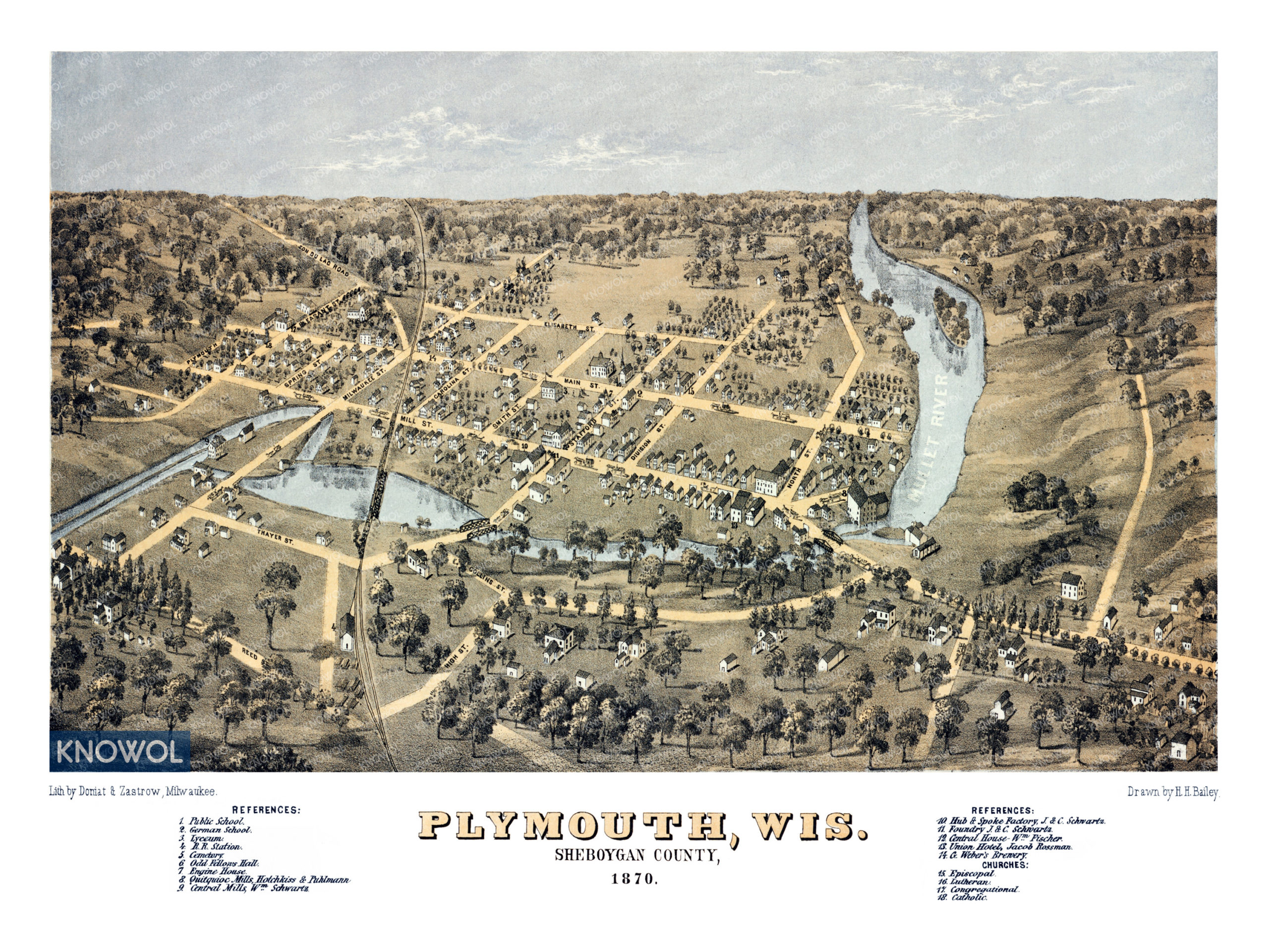
This vintage map of Plymouth makes an attractive addition to your office, library, or den, and can even be used to teach children the geography and history of the area. When you’re done exploring, click here to get your copy of the restored map.