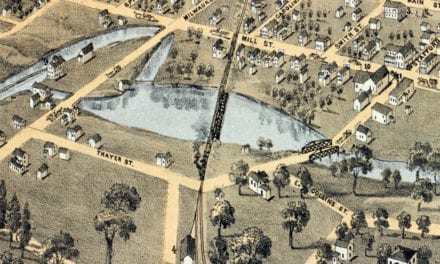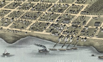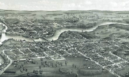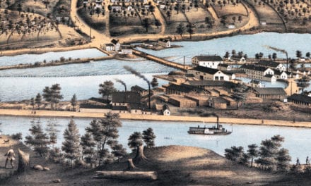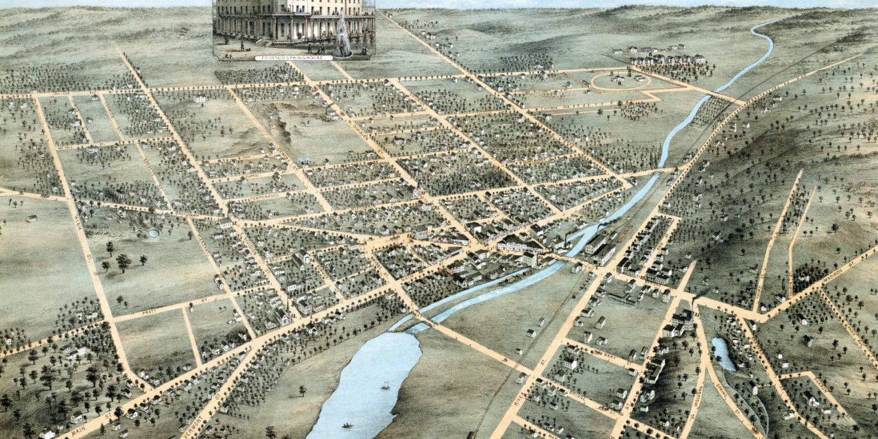
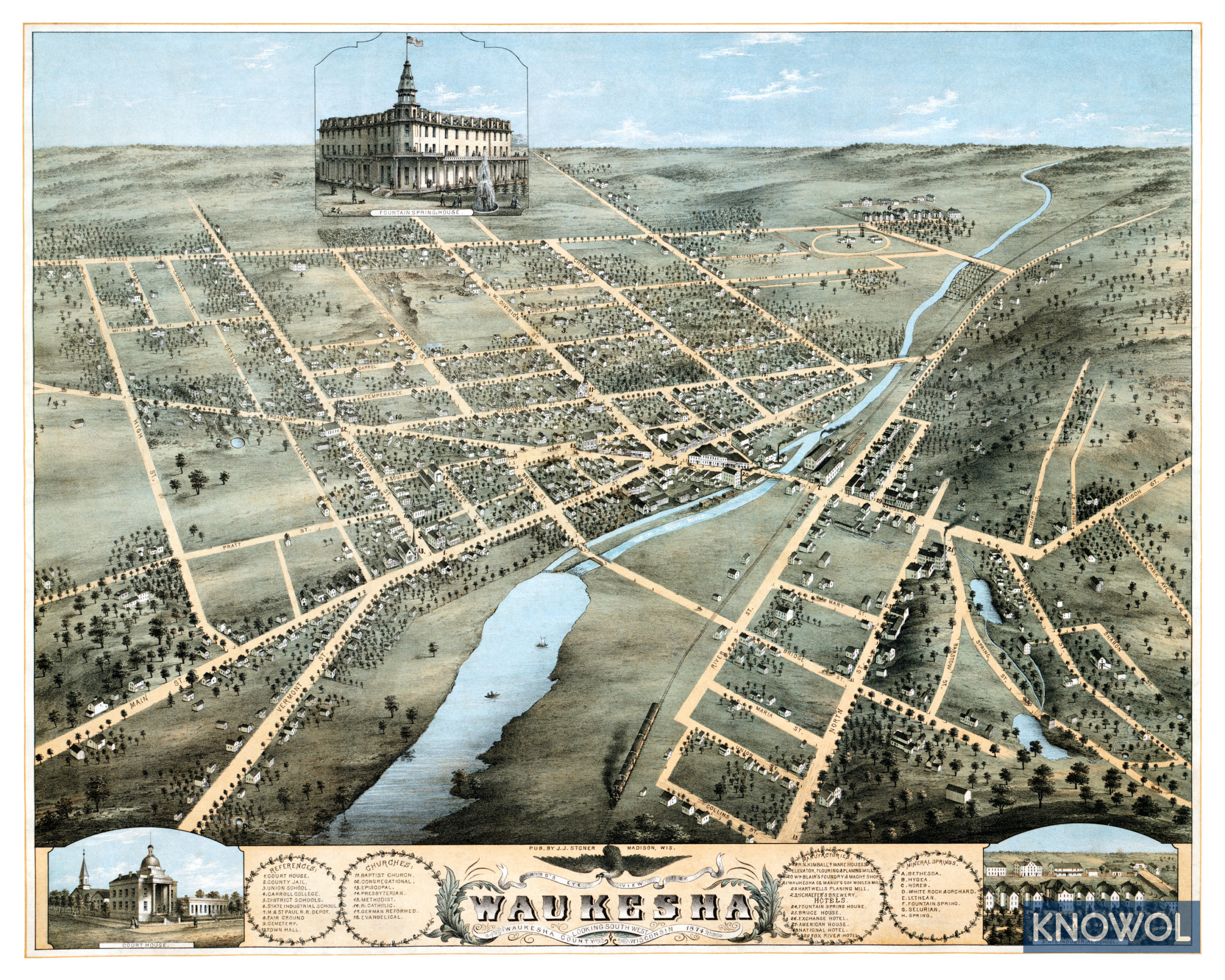
This map of Waukesha, Wisconsin was created in 1874 by J.J. Stoner, a prominent 19th century map maker. The map shows a bird’s eye view of Waukesha as it was, including street names and old landmarks.
Waukesha was once known for its extremely clean and supposedly medicinal mineral spring water and was known as a “spa town.” This earned the city the nicknames “Spring City” and the “Saratoga of the West”. This map shows the location of the Bethesda, Hygea, Horeb, White Rock, Lethean, Selurian, and Fountain Mineral Springs.
Landmarks on the map include Carroll College, State Industrial School, Schaefer’s Brewery, Hartwells Planing Mill, Fountain Spring House, National Hotel, Fox River Hotel, Milwaukee & St. Paul Railroad Depot, Waukesha Fair Grounds, Town Hall, and numerous churches.
This historic map of Waukesha, WI has been restored by KNOWOL. Reproductions of the map are available here.
Click here to see Waukesha, Wisconsin in 1874
This map of Waukesha will make an attractive addition to your office, library, or den and can even be used to teach children the geography and history of the area. When you’re done exploring, click here to get your copy.