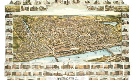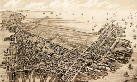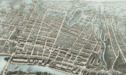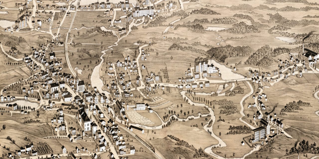
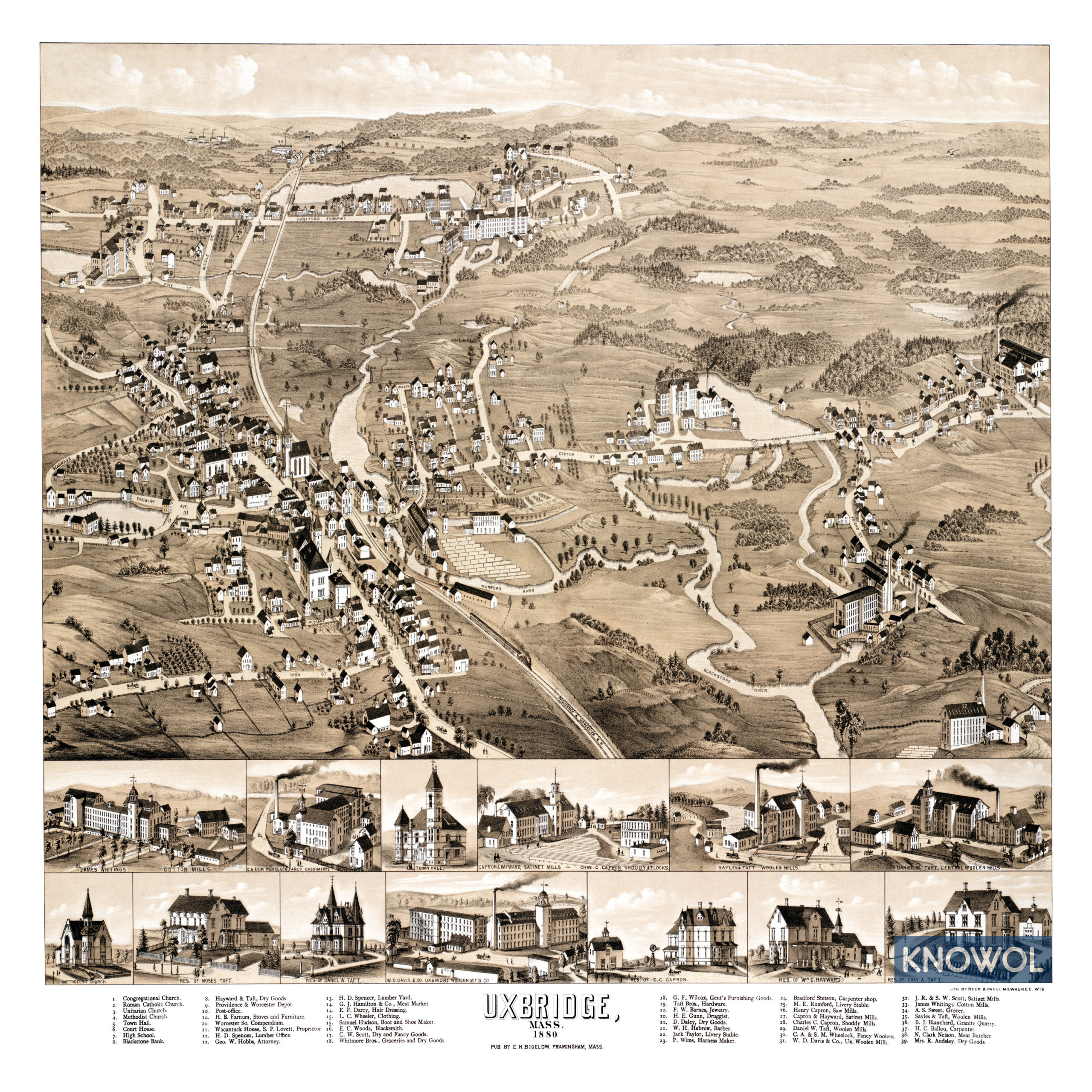
This map of Uxbridge, Massachusetts was created in 1880 by E.H. Bigelow, a map maker from Framingham. The map shows a bird’s eye view of Uxbridge as it was, including street names, old landmarks, and prominent residences.
Landmarks on the map include Blackstone Bank, Providence & Worcester Depot, Farnum Stoves & Furniture, Wacantuck House, Spencer Lumber Yard, Hamilton Meat Market, Barnes Jewelry, Daley Dry Goods, Hebrew Barber, Whiting’s Cotton Mills, Blanchard Granite Quarry, and more.
This historic map of Uxbridge, MA has been restored by KNOWOL. Reproductions of the map are available here.
Click here to see Uxbridge, Massachusetts in 1880
This map of Uxbridge will make an attractive addition to your office, library, or den and can even be used to teach children the geography and history of the area. When you’re done exploring, click here to get your copy.