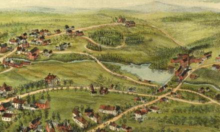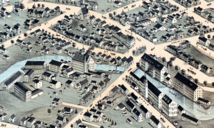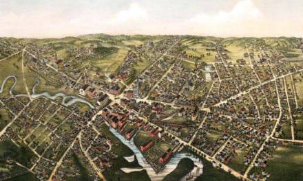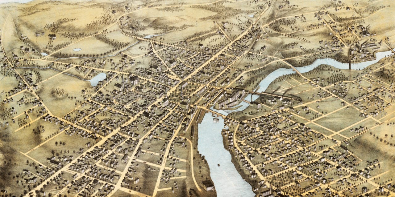
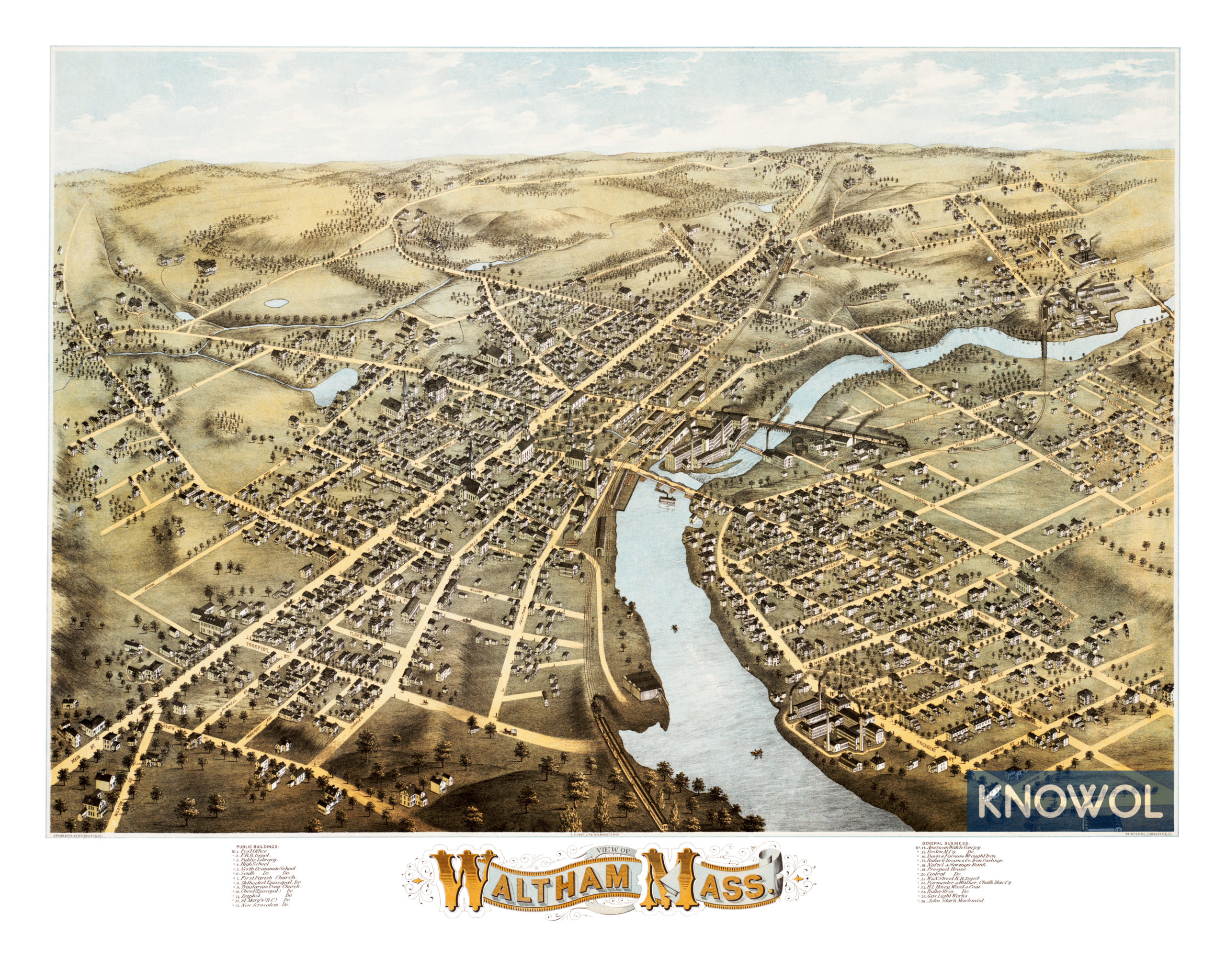
This map of Waltham, Massachusetts was created in 1877 by O.H. Bailey, a prominent 19th century map maker. The map shows a bird’s eye view of the town as it was, including street names and old landmarks.
Old Waltham landmarks on the map include the American Watch Company, Boston Manufacturing, Davis & Farnum Wrought Iron, Prospect Hotel, Parmenter & Walker Chalk Manufactory, Hovey Wood & Coal, North & South Grammar Schools, a variety of churches, railroad depots, and more.
This historic map of Waltham, MA has been restored by KNOWOL. Reproductions of the map are available here.
Map of Waltham, Massachusetts in 1877
This historic map of Waltham will make an attractive addition to your office, library, or den and can even be used to teach children the geography and history of the area. When you’re done exploring, click here to get your copy.