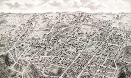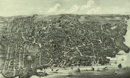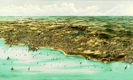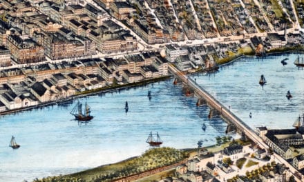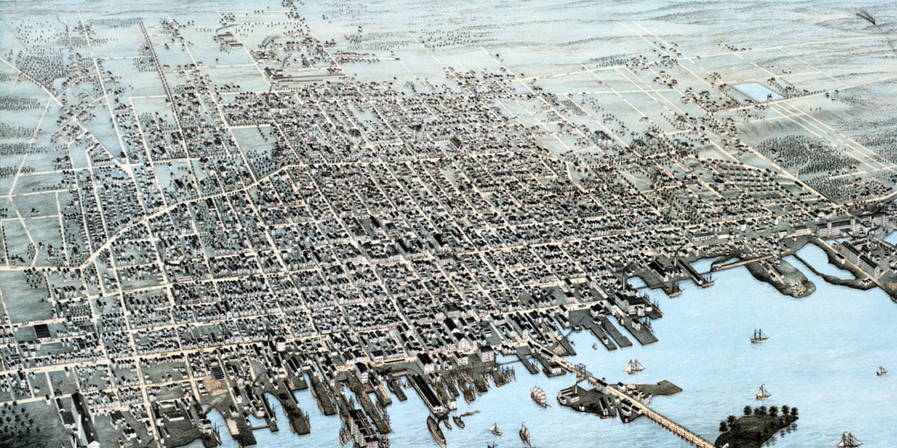
This map of New Bedford, Massachusetts was created in 1876 by O.H. Bailey, a prominent 19th century map maker. The map shows a bird’s eye view of the city in 1876, when it was one of the most important whaling ports in the world.
Old landmarks on the map include New Bedford Copper Mills, Gas Works, Flour Mills, City Hall, City Bakery, Mount Washington Glass Works, Wamsutta Mills, Liberty Hall, Parker House, Morse Twist Drill Works and more.
This historic map has been lovingly restored by KNOWOL. Reproductions of the restored map are available here.
Bird’s Eye View of New Bedford, MA in 1876
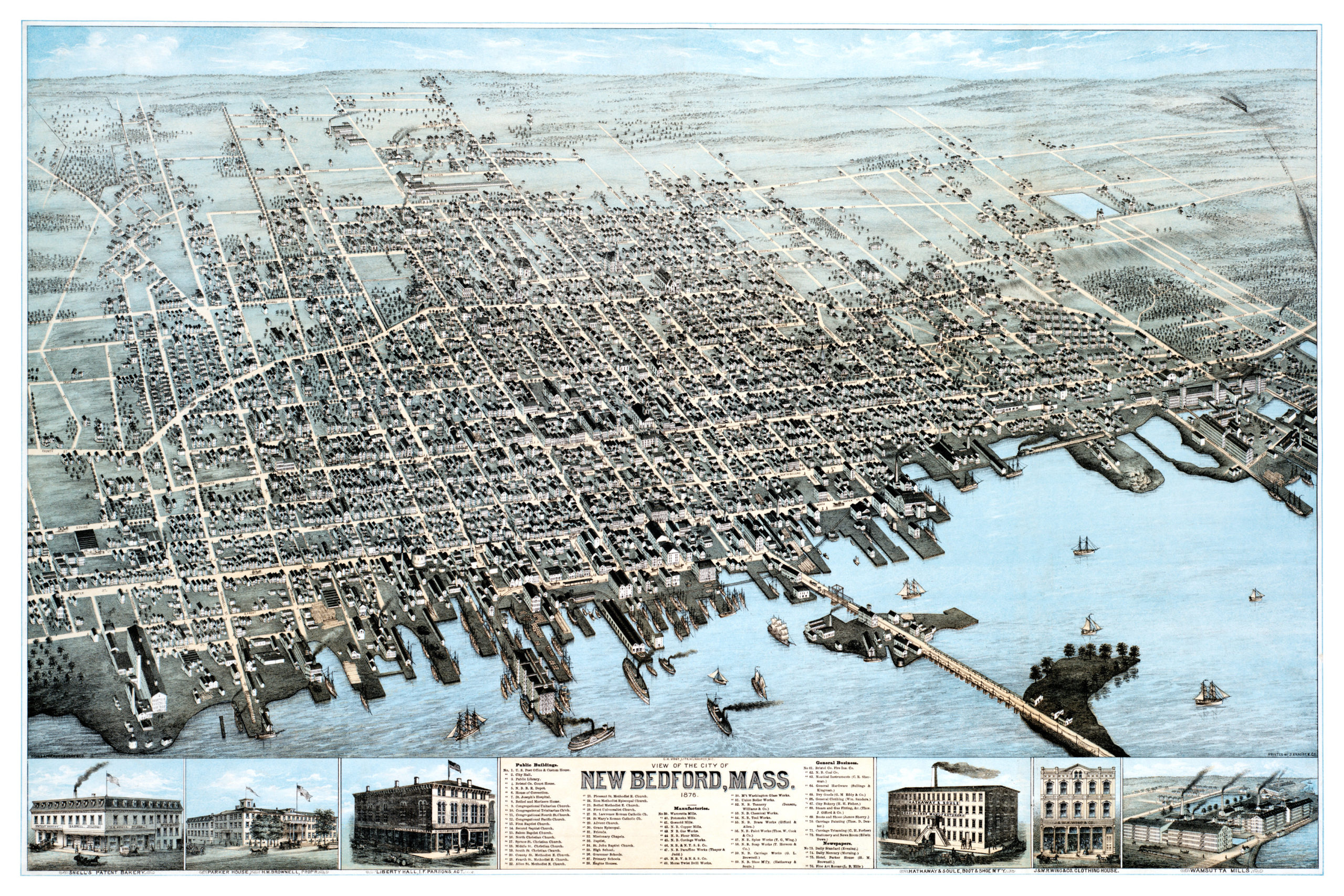
This old map of New Bedford, MA will make an attractive addition to your office, library, or den, and can even be used to teach children the geography and history of their city. When you’re done exploring, click here to get your copy.