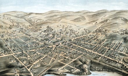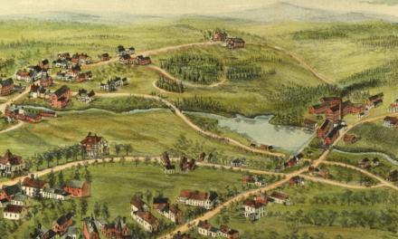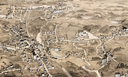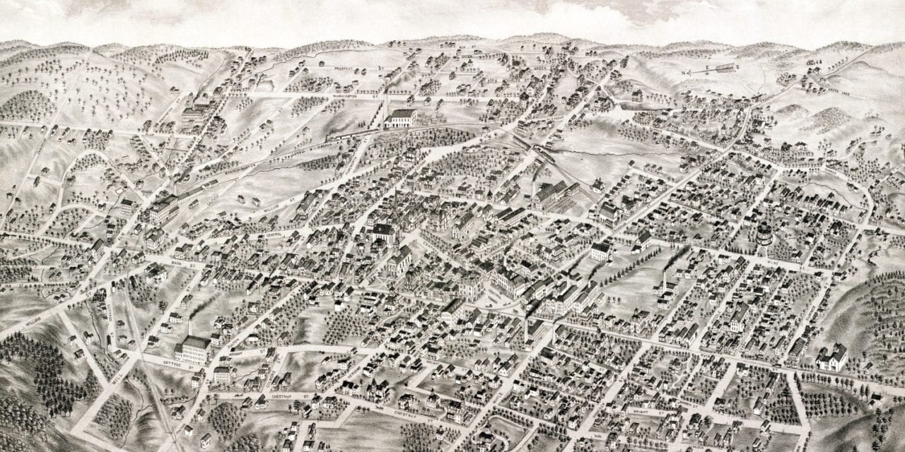
This map of Stoneham, Massachusetts was created in 1878 by O.H. Bailey and J.C. Hazen, prominent 19th century map makers. The map shows a bird’s eye view of Stoneham as it used to be, including street names and old landmarks.
Landmarks on the map include Stoneham Town Hall, Public Library, Lowell & Nashua Railroad, Lindenwood Cemetery, Whittier’s Building, Public Schools, Roman Catholic, Congregational, Christian Union, Methodist Episcopal, Second Advent, and “Babtist” Churches.
This historic map of Stoneham, MA has been restored by KNOWOL. Reproductions of the map are available here.
Bird’s Eye View of Stoneham, MA in 1878
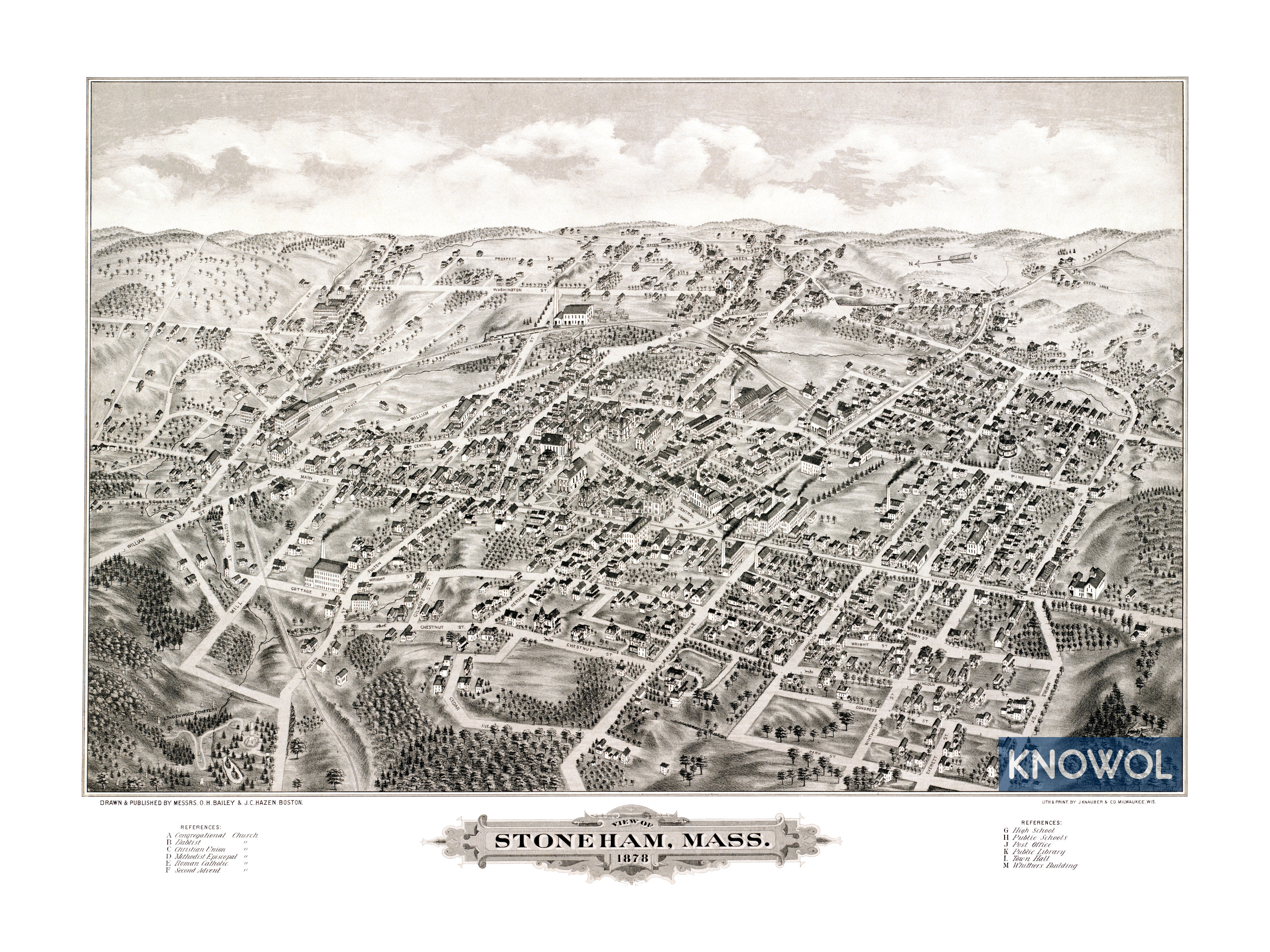
This historic map of Stoneham, MA will make an attractive addition to your office, library, or den and can even be used to teach children the geography and history of the area. When you’re done exploring, click here to get yours.