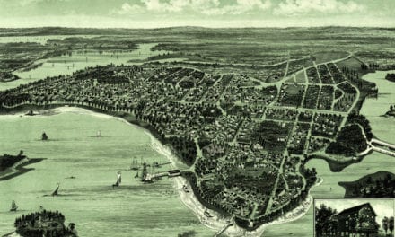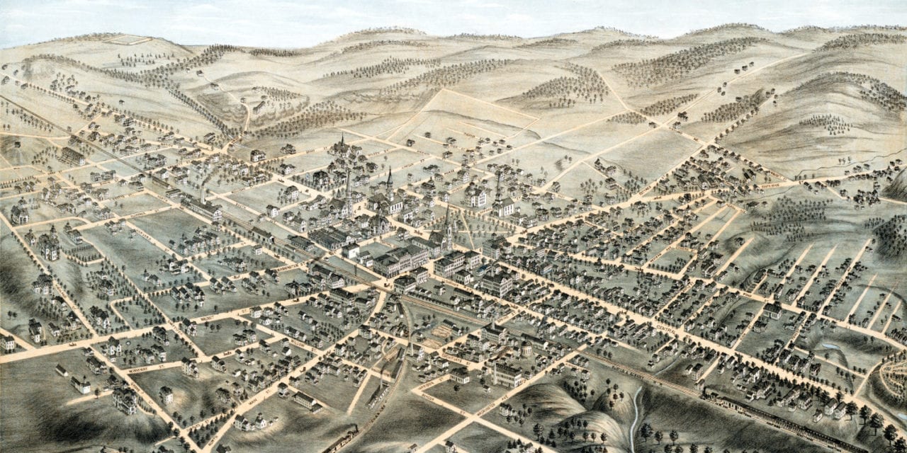
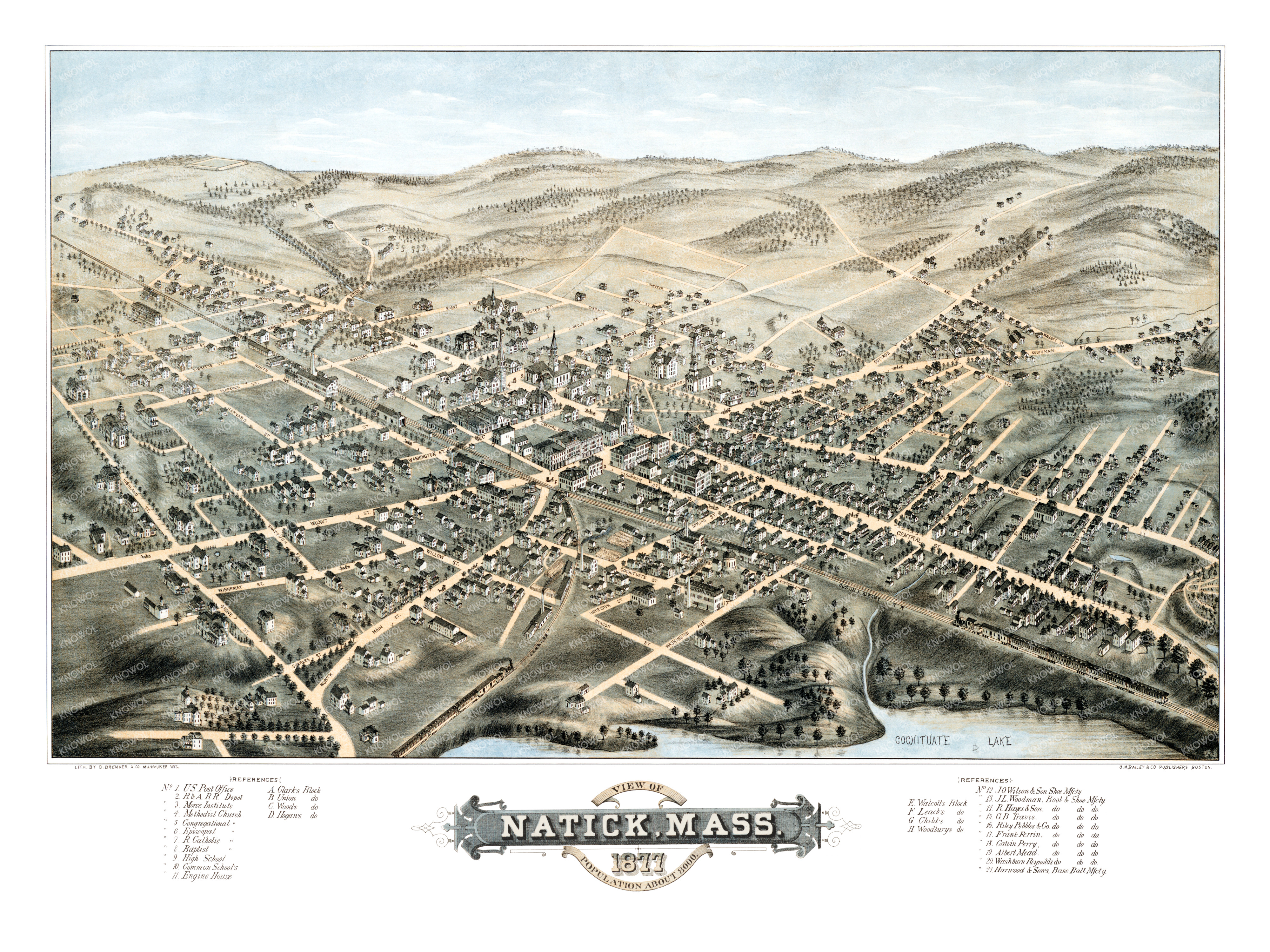
This map of Natick, Massachusetts was created in 1877 by O.H. Bailey, a prominent 19th century map maker. The map shows a bird’s eye view of Natick as it was, including street names and old landmarks.
In 1874, a great fire in downtown Natick demolished 18 business blocks, two shoe factories, the Town Hall, Natick’s only fire engine house and the Congregational Church, as well as many private homes. Though no lives were lost, the loss of property was greater in proportion to the town’s wealth than the Great Chicago Fire of 1871.
Natick landmarks on the map include the Boston and Albany Railroad Station, Morse Institute, Clark’s Block, Union Block, Hogan’s Block, Harwood & Son’s Baseball Manufactory, nine shoe & boot manufacturers, and more.
This historic map of Natick, MA has been restored by KNOWOL. Reproductions of the map are available here.
Map of Natick, Massachusetts in 1877
This historic map of Natick will make an attractive addition to your office, library, or den and can even be used to teach children the geography and history of the area. When you’re done exploring, click here to get your copy.