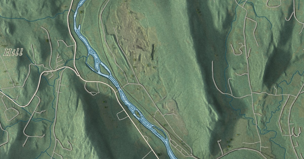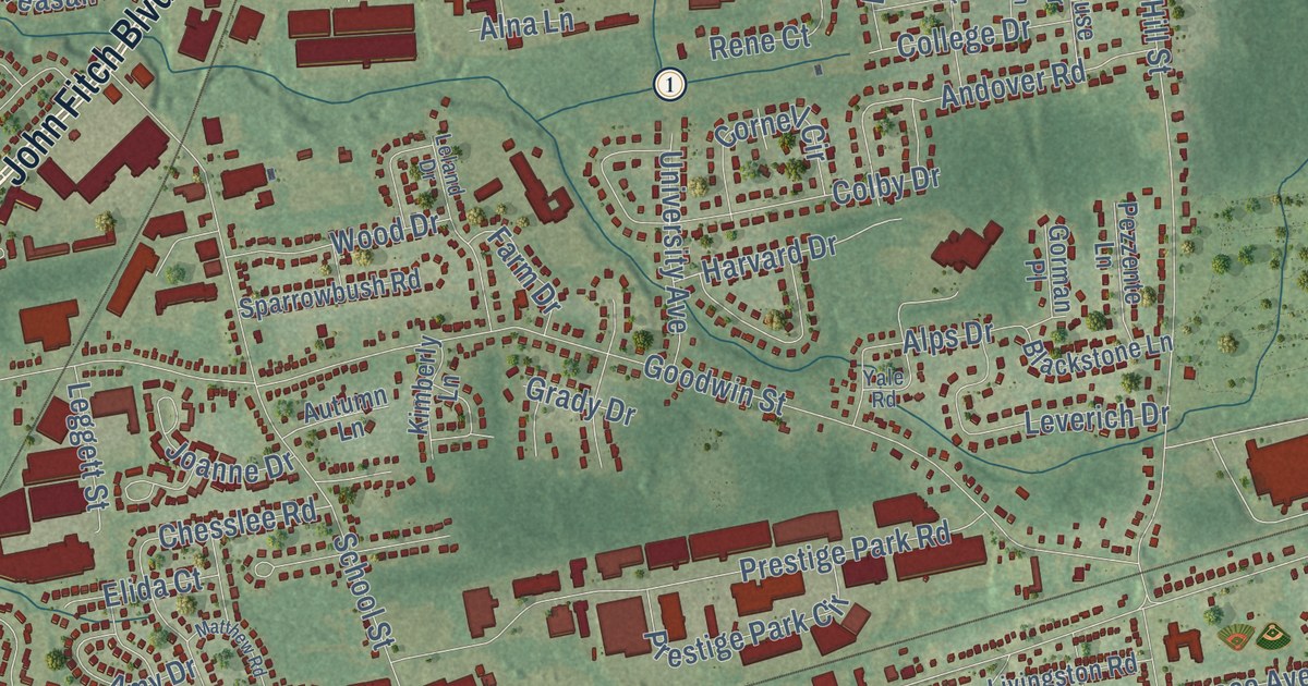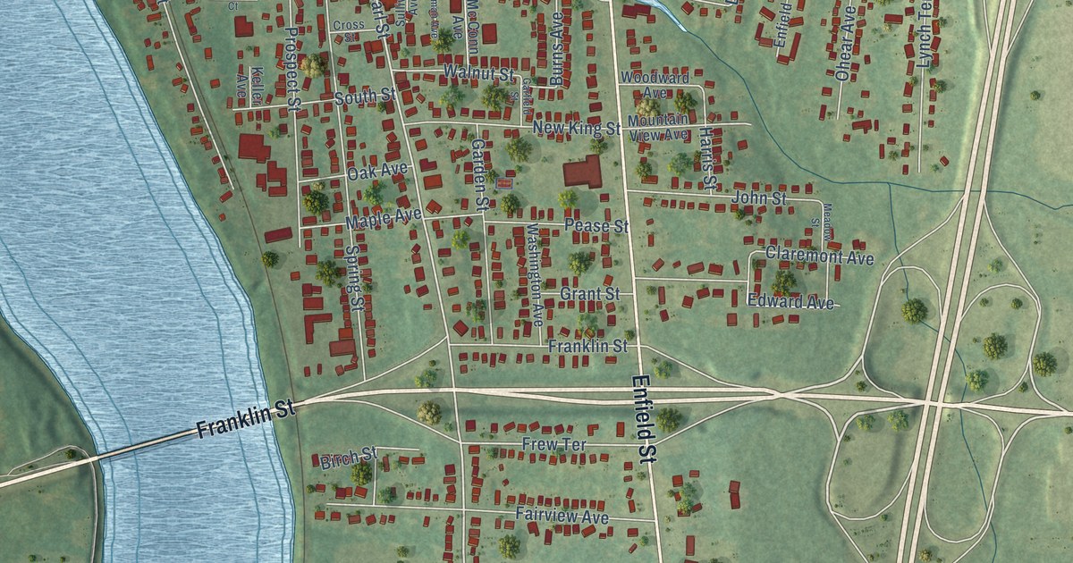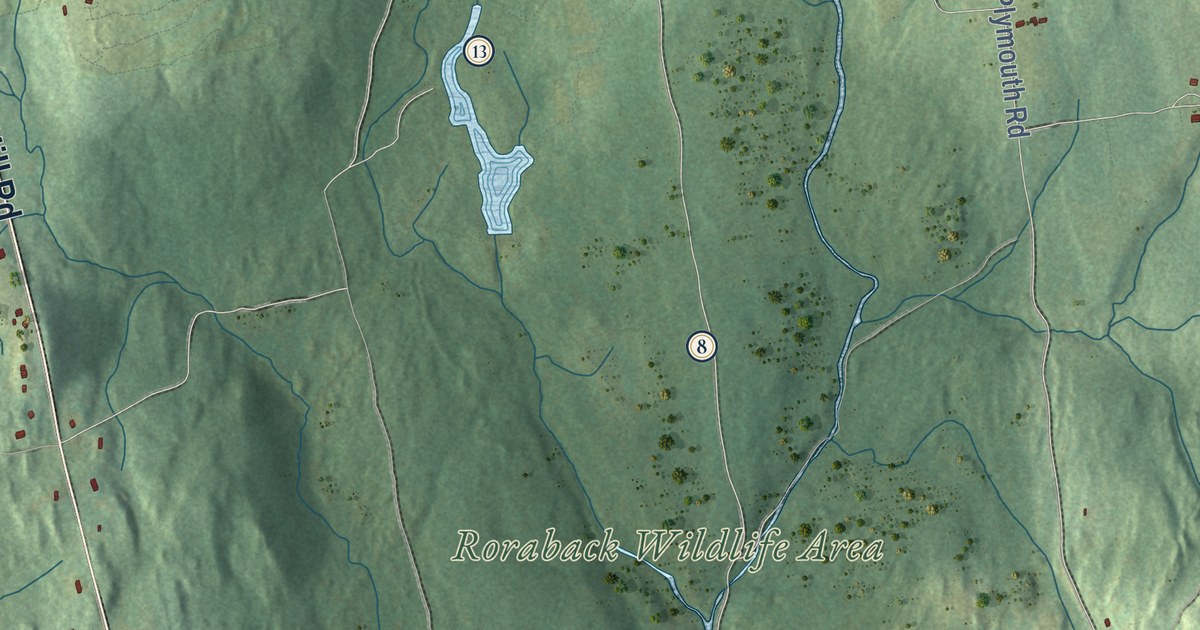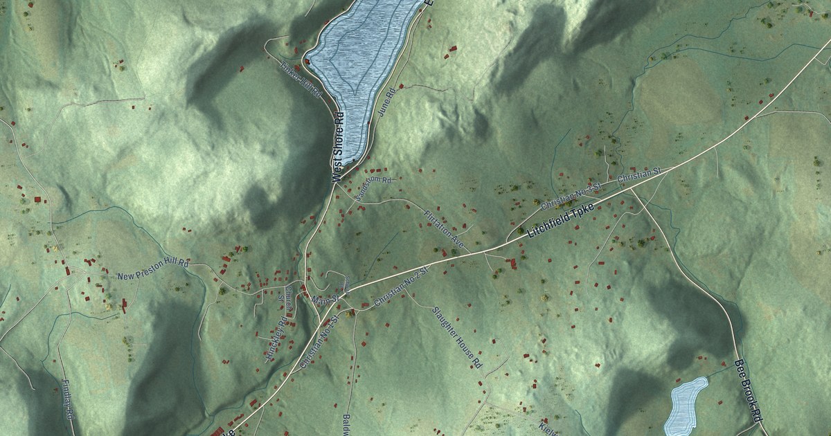
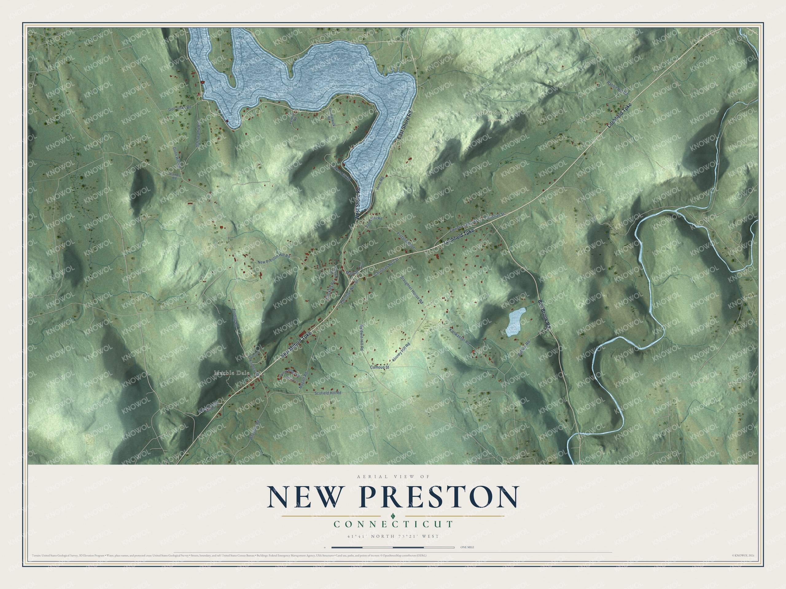
This beautifully detailed map of New Preston, Connecticut was created in 2026 using aerial imagery combined with modern topographical, census, street and landmark data. It's a modern aerial view of New Preston in Northwest Hills Planning Region, Connecticut, that combines modern data with a vintage aesthetic. The roads feature printed names, and if you look closely you can find your exact house accurately shown in its correct location.
Explore an aerial view of New Preston, Connecticut
On this map you'll find Marble Dale, Macricostas Preserve, New Milford Turnpike, Litchfield Turnpike, West Shore Road, East Shore Road, Bee Brook Road, New Preston Hill Road, Gunn Hill Road, Kinney Hill Road, Tinker Hill Road, Christian Street, and more. Each red shape is a building, so zoom in on the preview and look for yours.
Every town has a first chapter, and New Preston is no exception. New Preston was settled before 1750, and in 1752 its people won the right to form their own church society and built their first church two years later. The stone meetinghouse they raised on New Preston Hill in 1824 is one of the few stone meetinghouses in Connecticut, and its tavern and school were built of the same stone. As mills grew up around the waterpower a mile east, most church members voted in 1853 to move, and a new church was built that year in New Preston village. That's from the National Register of Historic Places.
New Preston is a community in Northwest Hills Planning Region. The Census Bureau counted 1,126 people here in 2020.
Take a closer look at the New Preston map
Names on this map
These names are printed on this map.
Places: Marble Dale and Macricostas Preserve.
Streets and roads: New Milford Turnpike, Litchfield Turnpike, West Shore Road, East Shore Road, Bee Brook Road, New Preston Hill Road, Gunn Hill Road, Kinney Hill Road, Tinker Hill Road, Christian Street, Calhoun Street, Findlay Road.
More street names, A to Z
Ash Swamp Road, Baldwin Hill Road, Buffum Road, Camps Road, Christian No 1 Street, Christian No 2 Street, Christian No 3 Street, Church Street, Findley Road, Flirtation Avenue, Golf Links Road, Hinckley Road, June Road, Kielwasser Road, Loomarwick Road, Main Street, Mountain Road, Myfield Lane, Mygatt Road, North Sawyer Hill Road, Perkins Road, Quarry Ridge Road, Rabbit Hill Road, Sandstrom Road, Schwab Road, Scofield Hill Road, Slaughter House Road, Wheaton Road.
See it on a wall
The New Preston map as a framed print. Swipe for more.


Created by KNOWOL in 2026. The buildings are small red shapes, the roads carry their printed names, and shaded relief shows the shape of the land. The title panel reads "AERIAL VIEW OF NEW PRESTON, CONNECTICUT" with 41°41' NORTH 73°21' WEST.
Hang it in the hallway, the office or the cabin, or give it to someone who left New Preston and still calls it home. Open the preview and look for a street you know. See sizes and frames for the New Preston map.