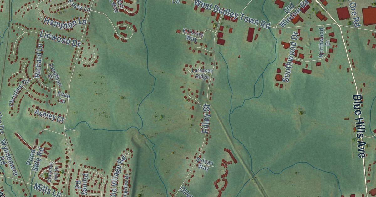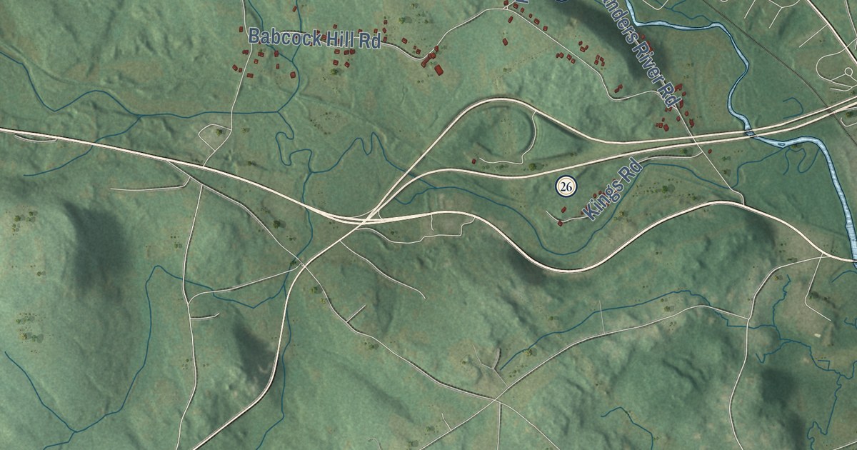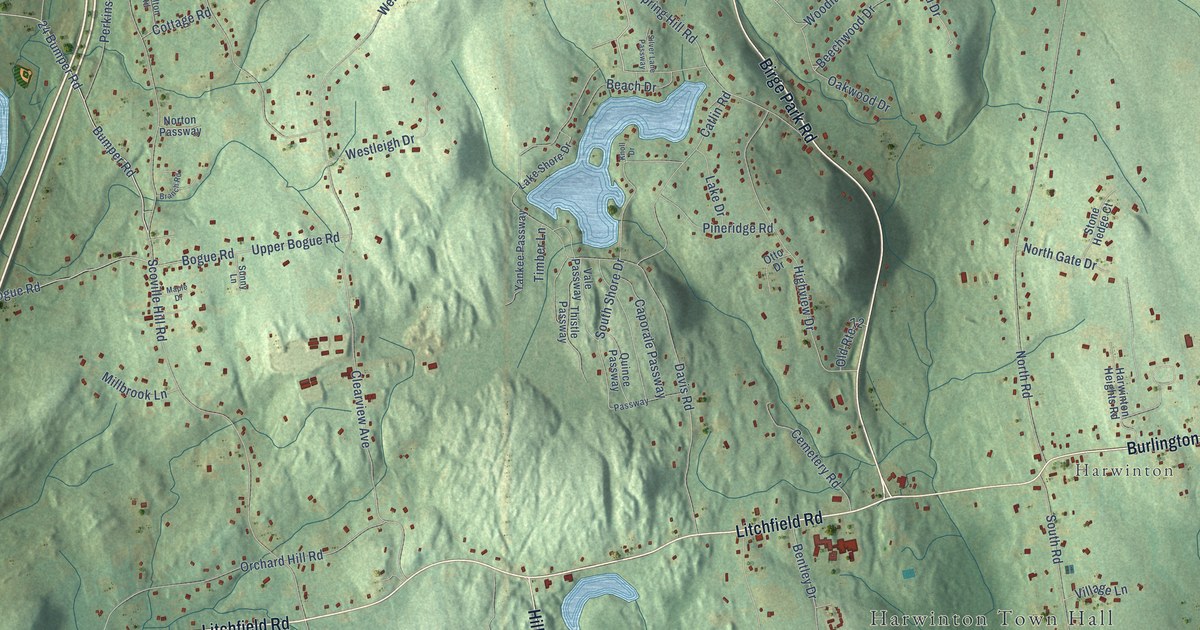
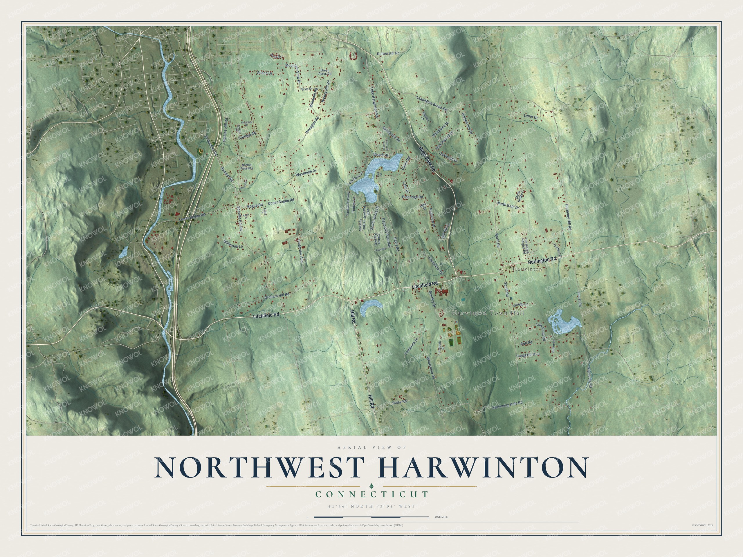
This beautifully detailed map of Northwest Harwinton, Connecticut was created in 2026 using aerial imagery combined with modern topographical, census, street and landmark data. It's a modern aerial view of Northwest Harwinton in Northwest Hills Planning Region, Connecticut, that combines modern data with a vintage aesthetic. The roads feature printed names, and if you look closely you can find your exact house accurately shown in its correct location.
Explore an aerial view of Northwest Harwinton, Connecticut
On this map you'll find Harwinton Town Hall, Harwinton, Birge Park Road, Burlington Road, Litchfield Road, Hill Road, Lake Harwinton Road, Bumper Road, 24 Bumper Road, Harmony Hill Road, Clearview Avenue, Scoville Hill Road, and more. Each red shape is a building, so zoom in on the preview and look for yours.
Every town has a first chapter, and Northwest Harwinton is no exception. Harwinton was formed in 1737 from land held by Hartford and Windsor, and its name is a blend of the two. Its center grew up at a crossroads on the route between Farmington and Litchfield, where the first meetinghouse was built right in the crossroads in 1745. Harwinton native Theodore Alfred Hungerford, a publisher in Chicago and New York, left the Hungerford Memorial Library to his hometown in his will, and he is buried in its basement. That's from the National Register of Historic Places.
Northwest Harwinton is a community in Northwest Hills Planning Region. The Census Bureau counted 3,158 people here in 2020.
Take a closer look at the Northwest Harwinton map
Names on this map
These names are printed on this map.
Places: Harwinton Town Hall and Harwinton.
Streets and roads: Birge Park Road, Burlington Road, Litchfield Road, Hill Road, Lake Harwinton Road, Bumper Road, 24 Bumper Road, Harmony Hill Road, Clearview Avenue, Scoville Hill Road, North Road, Catlin Road.
More street names, A to Z
Beach Drive, Beechwood Drive, Bentley Drive, Bogue Road, Branch Road, Breezy Hill Road, Bull Road, Caporale Passway, Carlton Road, Cemetery Road, Cottage Road, Davis Road, Delay Road, Dutton Hill Road, Elizabeth Drive, Fitzpatrick Road, Frederick Drive, Further Lane, Garden Lane, Green Acres Road, Harwinton Heights Road, Highview Drive, Hither Lane, Hungerford Lane, Knoll Drive, Lake Drive, Lake Shore Drive, Lead Mine Brook Road, Lenor Drive, Lilly Pond Road, Locust Road, Lower Bogue Road, Maple Drive, Millbrook Lane, Mountain View Drive, North Gate Drive, Norton Passway, Oakwood Drive, Old Route 72, Orchard Hill Road, Otto Drive, Passway, Perkins Hill Road, Pineridge Road, Plymouth Road, Quince Passway, Ridgewood Drive, Ross Drive, Silano Drive, Silver Lane Passway, South Road, South Shore Drive, Spring Hill Road, Stone Hedge Court, Sunny Lane, Swimming Hole Road, Thistle Passway, Timber Lane, Upper Bogue Road, Vale Passway, Village Lane, Vista Drive, Weingart Road, Westleigh Drive, Whetstone Road, Windmill Road, Woodland Drive, Yankee Passway.
See it on a wall
The Northwest Harwinton map as a framed print. Swipe for more.


Created by KNOWOL in 2026. The buildings are small red shapes, the roads carry their printed names, and shaded relief shows the shape of the land. The title panel reads "AERIAL VIEW OF NORTHWEST HARWINTON, CONNECTICUT" with 41°46' NORTH 73°04' WEST.
Hang it in the hallway, the office or the cabin, or give it to someone who left Northwest Harwinton and still calls it home. Open the preview and look for a street you know. See sizes and frames for the Northwest Harwinton map.