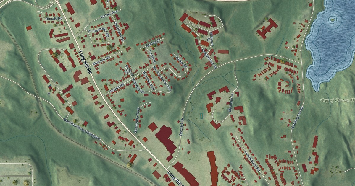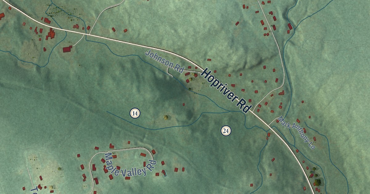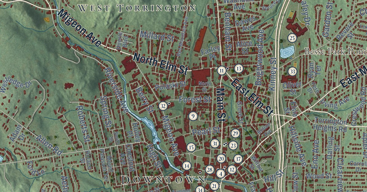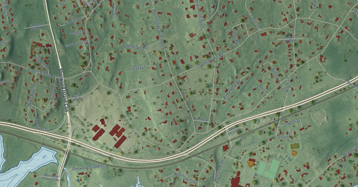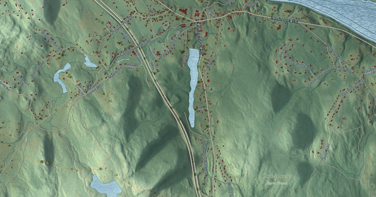
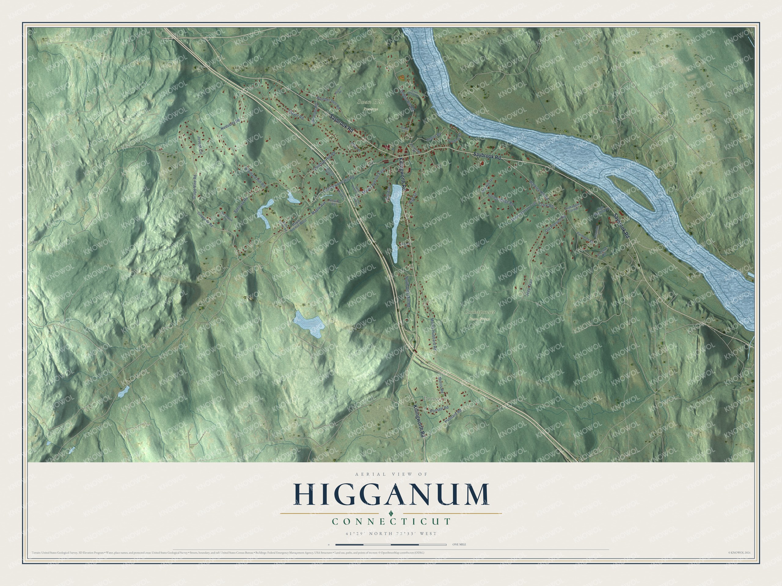
This beautifully detailed map of Higganum, Connecticut was created in 2026 using aerial imagery combined with modern topographical, census, street and landmark data. It's a modern aerial view of Higganum in Lower Connecticut River Valley Planning Region, Connecticut, that combines modern data with a vintage aesthetic. The roads feature printed names, and if you look closely you can find your exact house accurately shown in its correct location.
Explore an aerial view of Higganum, Connecticut
On this map you'll find Ponset, Cockaponset State Forest, Swan Hill Preserve, Saybrook Road, Killingworth Road, Grape Vine Road, Dublin Hill Road, Brainard Hill Road, Old Ponsett Road, Candlewood Hill Road, Walkley Hill Road, Thayer Road, and more. Each red shape is a building, so zoom in on the preview and look for yours.
Every town has a first chapter, and Higganum is no exception. More than 150 vessels were built at Higganum Landing on the Connecticut River between 1752 and 1865, and they sailed to the West Indies, Europe, South America and China. Master carpenter James Child came from Warren, Rhode Island, in 1762 and started the shipyard with his father in law John Kelly, and the Child family built ships here for more than 100 years. The Landing was also the birthplace of the sloop of war Sampson, which carried 18 guns and a crew of 100 and sank the British sloop of war Swallow. That's from the National Register of Historic Places.
Higganum is a community in Lower Connecticut River Valley Planning Region. The Census Bureau counted 2,089 people here in 2020.
Take a closer look at the Higganum map
Names on this map
These names are printed on this map.
Places: Ponset, Cockaponset State Forest and Swan Hill Preserve.
Streets and roads: Saybrook Road, Killingworth Road, Grape Vine Road, Dublin Hill Road, Brainard Hill Road, Old Ponsett Road, Candlewood Hill Road, Walkley Hill Road, Thayer Road, Hubbard Road, Jeep Trail, Christian Hill Road.
More street names, A to Z
Boulder Dell Road, Christian Hill Lane, Clark Road, Cove Wharf Lane, Crabapple Corner, Depot Road, Devonshire Lane, Dublin Lane, Embassy Drive, Forest Ridge Road, Grapevine Road, High Meadow Place, High Street, Hull Avenue, Johnson Road, Joseph Circle, Landing Road, Leon Burr Road, Maple Avenue, Maple Avenue East, Maple Avenue West, Maynard Road, Morris Hubbard Road, Morris Road, Nedobity Road, Neffs Corner Road, North Dish Mill Road, Oak Hill Terrace, Olson Place, Orchard Road, Parmelee Lane, Parmelee Road, Parsonage Road, Ponsett Road, Saint Peters Lane, Scovill Road, Scovill Road Extension, Spencer Road, Swain Johnson Trail.
See it on a wall
The Higganum map as a framed print. Swipe for more.


Created by KNOWOL in 2026. The buildings are small red shapes, the roads carry their printed names, and shaded relief shows the shape of the land. The title panel reads "AERIAL VIEW OF HIGGANUM, CONNECTICUT" with 41°29' NORTH 72°33' WEST.
Hang it in the hallway, the office or the cabin, or give it to someone who left Higganum and still calls it home. Open the preview and look for a street you know. See sizes and frames for the Higganum map.