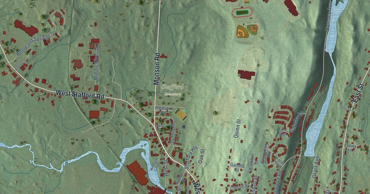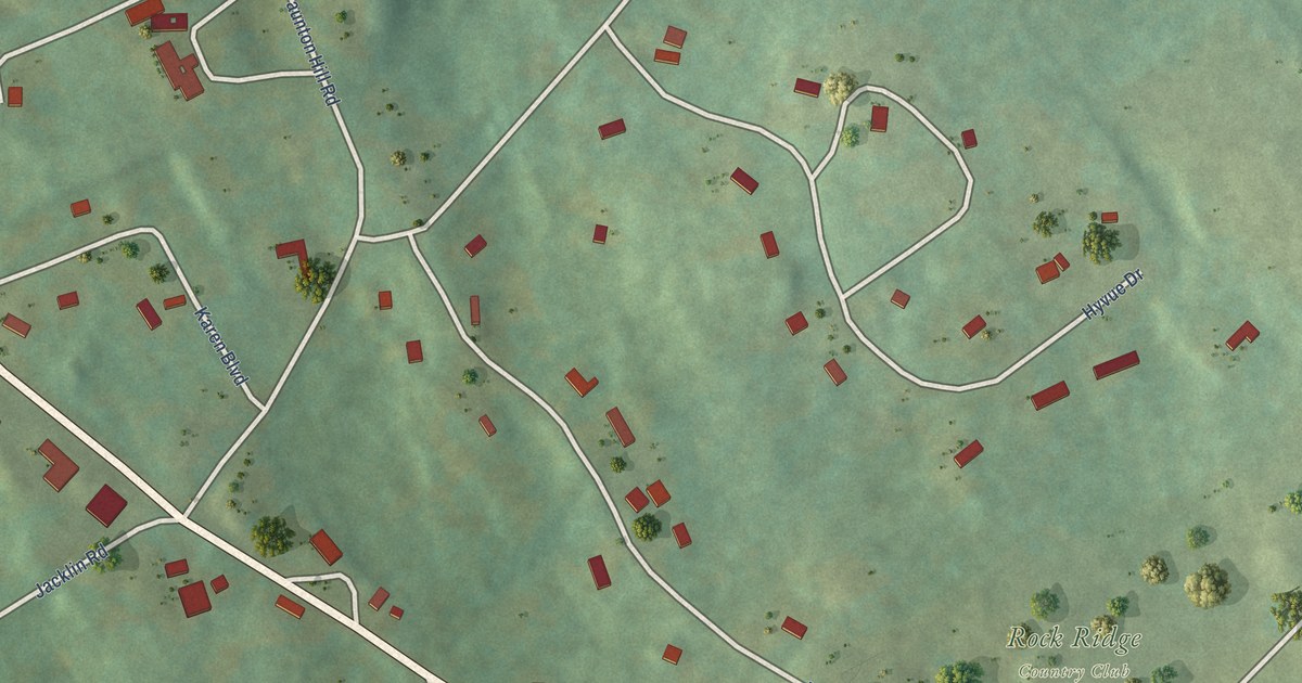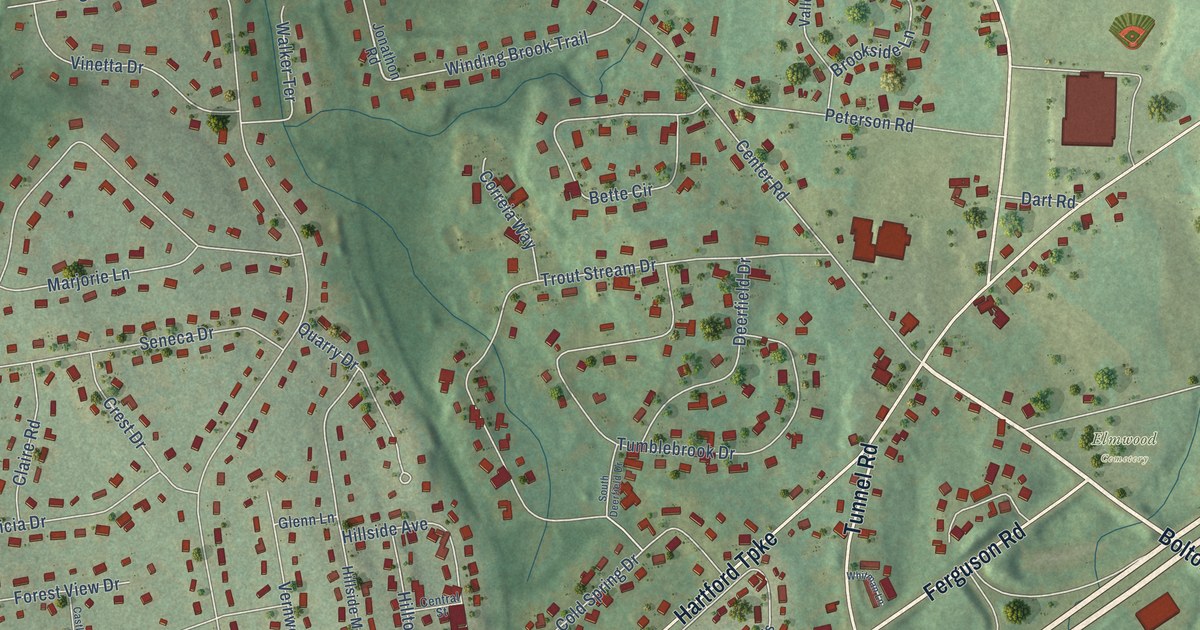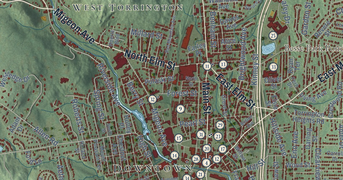
This beautifully detailed map of Torrington, Connecticut was created in 2026 using aerial imagery combined with modern topographical, census, street and landmark data. It’s a one-of-a-kind view of Torrington that combines accurate data with a vintage aesthetic. The map shows every building in its true location, many of the roads carry their names, and the shaded topographic relief shows the shape of the land.
See it on a wall
The Torrington map as an 18 x 24 inch print in a black frame.

Explore an aerial view of Torrington, Connecticut
On the map you’ll find Downtown, Burrville, Newberry Corner, Torringford, Drakeville, Newfield, Besse Hill, Brandy Hill, Burr Mountain, Besse Park Pond, Burr Pond, Alvord Park, and more. If you look closely you can even find your house accurately drawn in its correct location. Zoom in on the preview to look for yours. Click here to learn more about the history of Torrington.
Take a closer look at the Torrington map
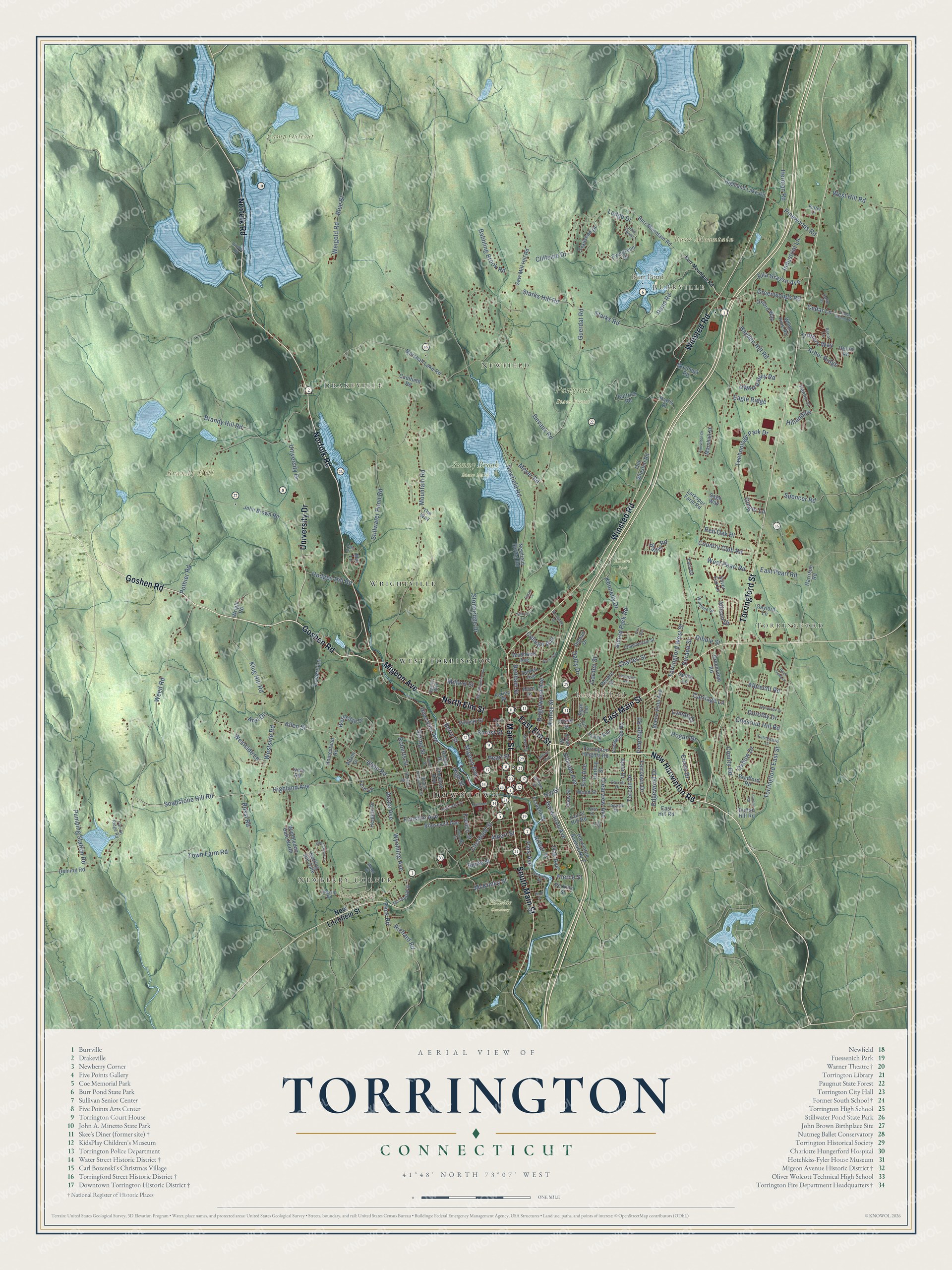
Click to explore a larger preview. The digital watermark does not appear on printed maps.
Names on this map
These names are printed on this map.
Places: Downtown, Burrville, Newberry Corner, Torringford, Drakeville, Newfield, Besse Hill, Brandy Hill, Burr Mountain, Besse Park Pond, Burr Pond, Alvord Park, Camp Ouleout, Hillside Cemetery, Paugnut State Forest, Sunny Brook State Park, West Torrington and Wrightville.
Streets and roads: Norfolk Road, East Main Street, Goshen Road, Migeon Avenue, South Main Street, Main Street, North Elm Street, Torringford Street, Winsted Road, New Harwinton Road, University Drive, East Elm Street.
More street names, A to Z
Adam Drive, Aetna Avenue, Albert Street, Albrecht Road, Alice Street, Allen Road, Allen Street, Allison Drive, Alvord Park Road, Apter Drive, Arbor Ridge, Arel Drive, Arthur Street, Ascot Lane, Babbling Brook Road, Baltic Road, Benham Street, Berry Street, Blake Street, Blue Street, Bradford Road, Brandy Hill Road, Brightwood Avenue, Britton Avenue, Buena Vista Avenue, Burr Mountain Road, Buttrick Road, Calli Street, Carriage Lane, Carroll Drive, Caulfield Road, Cedar Lane, Cedar Swamp Road, Chamberlain Street, Charles Street, Chestnut Avenue, Chestnut Hill Road, Circle Drive, Clearview Avenue, Cliffside Drive, Cole Street, Colin Drive, College Avenue, Country Club Road, County Road, Crestwood Road, Daley Drive, Darling Street, Dawes Avenue, Deming Road, Devaux Road, Dibble Street, Doman Drive, Dorothy Drive, Durand Street, Dutton Hill Road, Eagle Ridge, East Hill Road, East Pearl Road, Edgewood Drive, Ella Grasso Avenue, Elsie Street, Eno Avenue, Essex Court, Evergreen Drive, Fairlawn Drive, Falcon Ridge Road, Farley Place, Farmstead Lane, Fern Drive, Ford Lane, Forest Street, Fox Run, Franklin Drive, French Street, Funston Avenue, Garden Street, Gaylord Lane, Ginger Lane, Greenridge Road, Greenwoods Road, Grove Street, Guerdat Road, Harris Drive, Harrison Road, Harwinton Avenue, Harwinton Avenue No 2, Hassig Road, Hayden Hill Road, Heights Drive, Herman Road, Heron Road, Highland Avenue, Highland Lake Road, High Street, Hillandale, Hillside Avenue, Hill Street, Hinsdale Road, Hodges Hill Road, Hoerle Boulevard, Hoffman Street, Hogan Drive, Holley Place, Homestead Road, Horace Street, Industrial Lane, Irving Avenue, Ivain Road, John Brown Road, Kennedy Drive, King Street, Kinney Street, Klug Hill Road, Lafayette Street, Lake Drive, Larkspur Farm Road, Laurel Hill Road, Laurelton Drive, Ledge Drive, Lexington Avenue, Litchfield Street, Loretta Road, Lovers Lane, Lyman Drive, Machuga Road, Marshall Lake Road, Marshall Street, Mc Donald Street, McKinley Street, Meyer Road, Millard Street, Mill Lane, Mountain Road, Mount Pleasant Terrace, Newfield Road, Newfield Spring Road, New Litchfield Street, Northside Drive, North Street, Notting Hill Gate, Oak Avenue, Old Farms, Old Winsted Road, Oliver Street, Oxbow Drive, Oxford Way, Park Avenue, Pearl Street, Peck Road, Penny Lane, Perkins Street, Pierce Street, Pineridge Road, Pinewoods Road, Pond Road, Pothier Road, Pulaski Street, Pumping Station Road, Putter Lane, Red Mountain Avenue, Red Oak Hl, Revere Street, Richard Road, Riverside Avenue, Roberts Street, Rock Creek Lane, Roosevelt Avenue, Rossi Road, Ryan Terrace, Sage Way, Saw Mill Hill Road, Scoville Street, Sherwood Drive, Silver Brook Lane, Silver Fox Lane, Smith Street, Soapstone Hill Road, Spencer Road, Spring Street, Spruce Drive, Starks Hill Road, Starks Road, Stillwater Pond Road, Stoneridge Drive, Summer Street, Sunny Lane, Surrey Lane, Tara Drive, Technology Park Drive, The Way, Tognalli Drive, Torcon Drive, Torringford East Street, Torringford West Street, Torrington Heights Road, Town Farm Road, Trailsend Drive, Trotters Way, Upper Valley Road, View Street, Wadhams Avenue, Weed Road, Weed Street, Weigold Road, West Hill Road, Westledge Drive, West Pearl Road, Westside Lane, Westside Road, White Pine Road, Willow Street, Wimbledon Gate North, Windtree Street, Wood Street, Wright Road, Wyoming Avenue.
This beautifully detailed map of Torrington makes an attractive addition to your office, library, or den, and it can even be used to teach children the geography and history of the area. It also makes a great gift for anyone who grew up in Torrington or moved away. When you’re done exploring, click here to get your copy of the Torrington map.