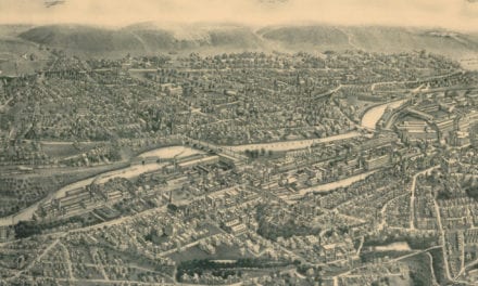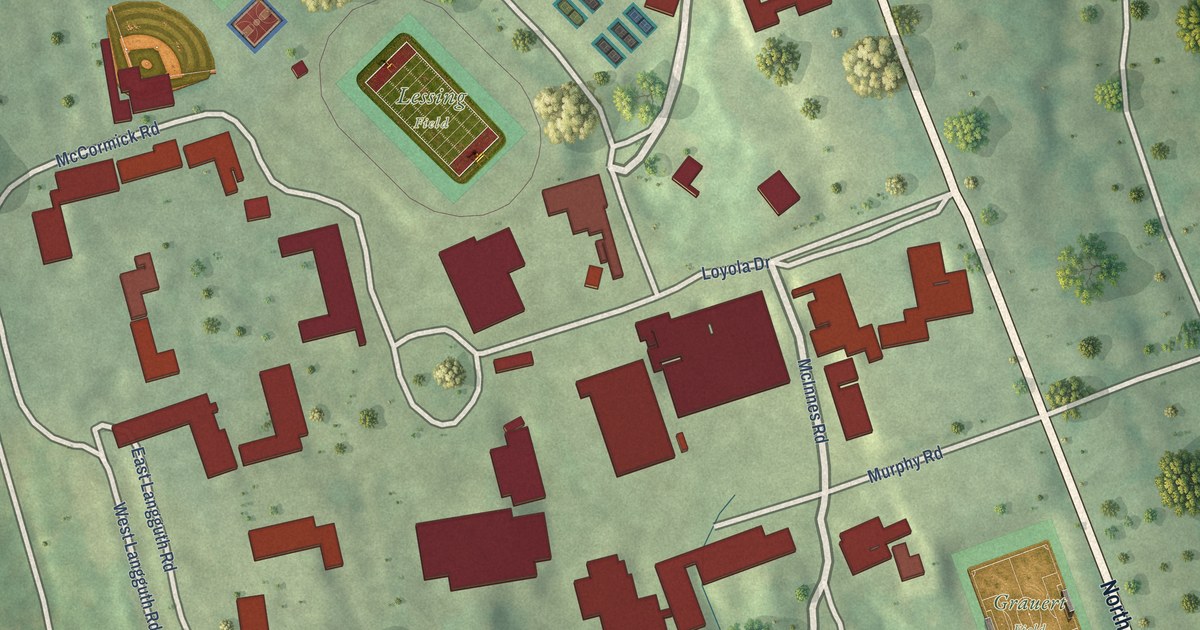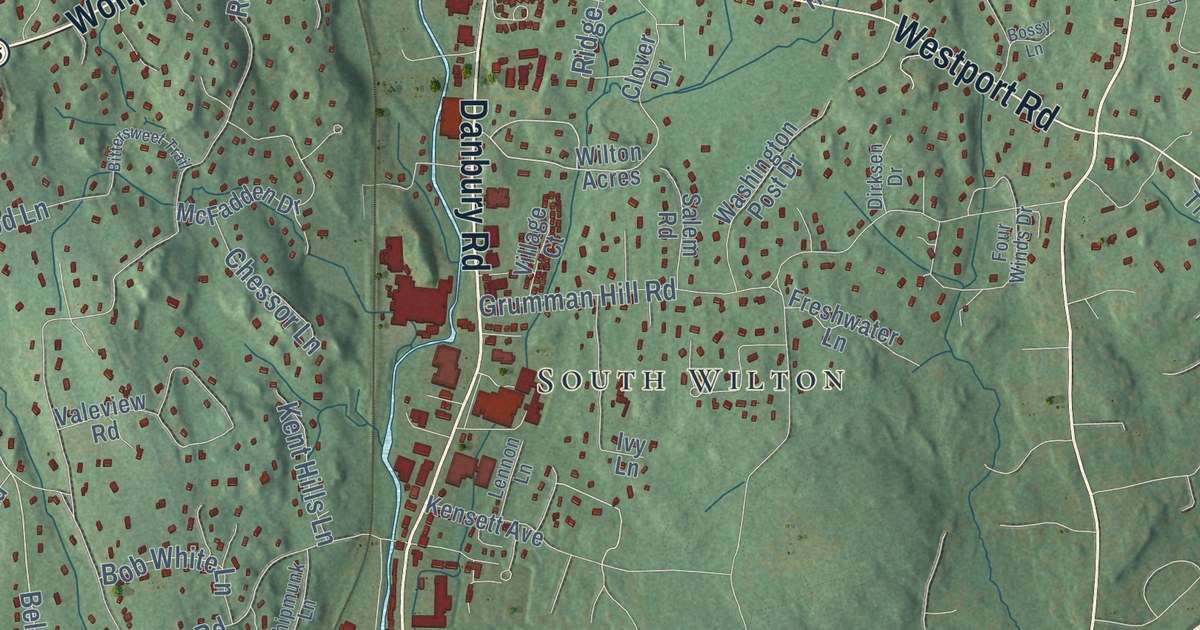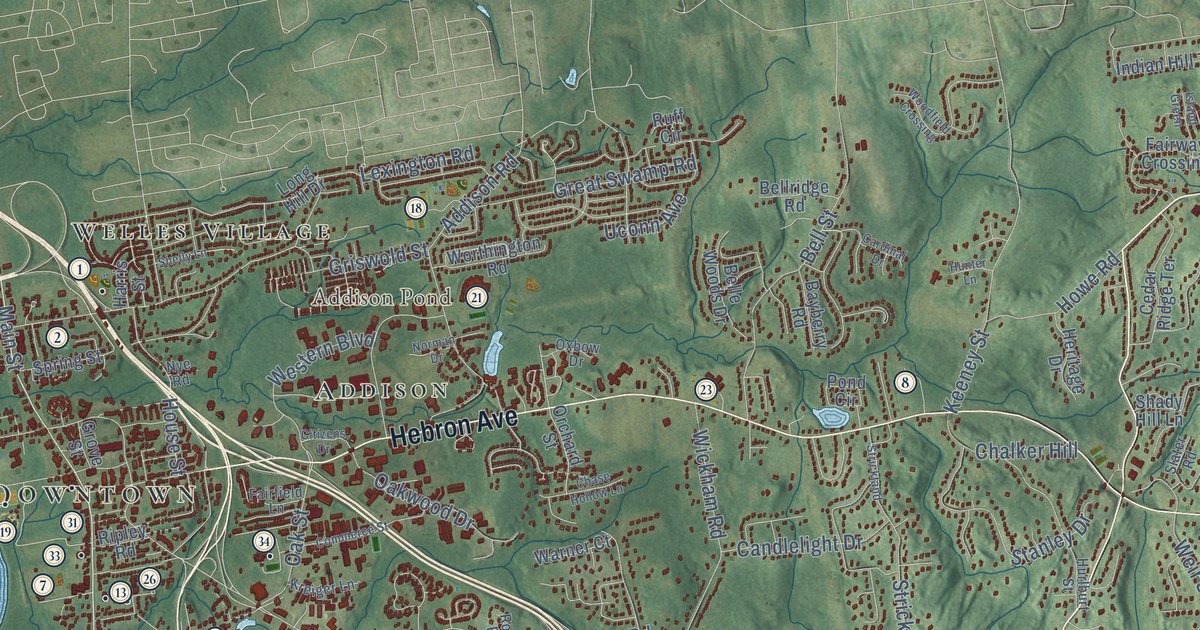
This beautifully detailed map of Glastonbury, Connecticut was created in 2026 using aerial imagery combined with modern topographical, census, street and landmark data. It’s a one-of-a-kind view of Glastonbury that combines accurate data with a vintage aesthetic. The map shows every building in its true location, many of the roads carry their names, and the shaded topographic relief shows the shape of the land.
See it on a wall
The Glastonbury map as an 18 x 24 inch print in a black frame.

Explore an aerial view of Glastonbury, Connecticut
On the map you’ll find Downtown, Belltown Hill, Bush Hill, Clark Hill, Addison Pond, Angus Park Pond, Meshomasic State Forest, Buckingham, Taylor Town, South Glastonbury, Welles Village, Glastonbury Center, and more. If you look closely you can even find your house accurately drawn in its correct location. Zoom in on the preview to look for yours. Click here to learn more about the history of Glastonbury.
Take a closer look at the Glastonbury map
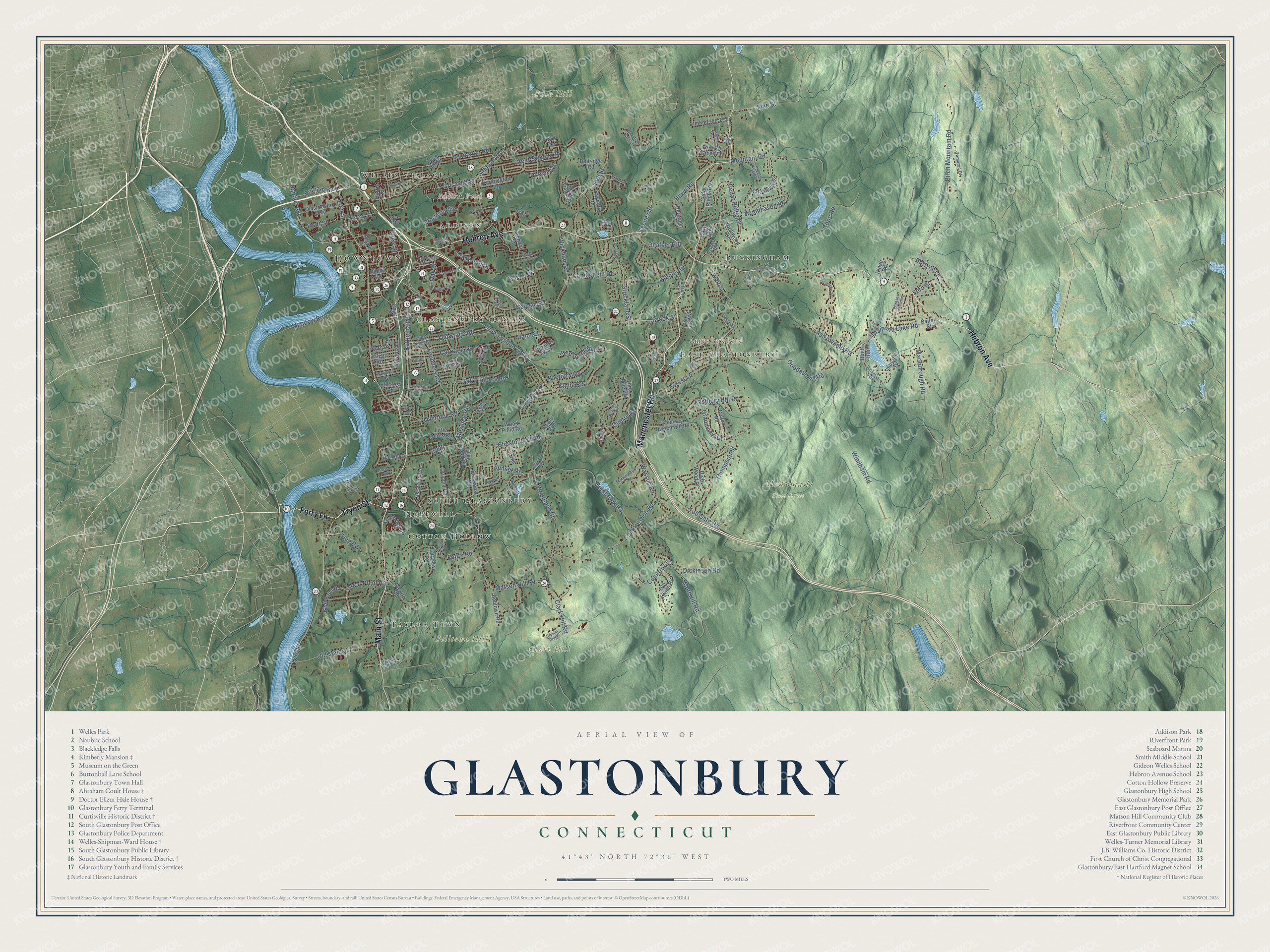
Click to explore a larger preview. The digital watermark does not appear on printed maps.
Names on this map
These names are printed on this map.
Places: Downtown, Belltown Hill, Bush Hill, Clark Hill, Addison Pond, Angus Park Pond, Meshomasic State Forest, Buckingham, Taylor Town, South Glastonbury, Welles Village, Glastonbury Center, Hopewell, Cotton Hollow, Addison and East Glastonbury.
Streets and roads: Main Street, Tryon Street, Manchester Road, Hebron Avenue, Ferry Lane, Line Street, New London Turnpike, Neipsic Road, Chestnut Hill Road, Birch Mountain Road, Thompson Street, Griswold Street.
More street names, A to Z
Addison Road, Ash Swamp Road, Bailey Street, Bayberry Road, Belle Woods Drive, Bellridge Road, Bell Street, Belltown Road, Birch Trail, Bluff Point Road, Brook Street, Butler Drive, Buttonball Lane, Candlelight Drive, Cardinal Drive, Carriage Drive, Cedar Ridge Drive, Cedar Ridge Terrace, Chalker Hill, Chapman Drive, Chase Hollow Lane, Chimney Sweep Hill Road, Cider Mill Road, Citizens Drive, Clark Hill Road, Coldbrook Road, Colton Road, Commerce Street, Coop Road, Copley Road, Country Club Road, Country Lane, Crosby Road, Crystal Ridge, Dayton Road, Dean Drive, Diamond Lake Road, Dickinson Road, Drumlin Road, Dug Road, Eastbury Hill Road, Fairfield Lane, Fairview Terrace, Fairway Crossing, Farmstead Lane, Fawn Run, Feldspar Ridge, Fern Street, Foote Road, Forest Lane, Founders Road, Fox Den Road, Gates Farm Road, Glastonbury Boulevard, Goodale Hill Road, Grandview Drive, Granite Road, Great Pond Road, Great Swamp Road, Grove Street, Hale Road, Hanover Fields Road, Harris Street, Heritage Drive, High Wood Drive, Hillcrest Road, Homestead Drive, Hopewell Road, Horizon Lane, House Street, Howe Road, Hunter Lane, Hurlburt Street, Imperial Drive, Indian Hill Trail, Island Green, Keeney Street, Kinne Road, Knob Hill Road, Knollwood Drive, Kreiger Lane, Lakewood Road, Lenti Terrace, Lexington Road, Little Acres Road, Long Hill Drive, Maple Street, Marlborough Road, Martin Terrace, Matson Hill Road, Meadow Road, Morgan Drive, Moseley Terrace, Mott Hill Road, Mountain Road, Natchaug Drive, Naubuc Avenue, Norman Drive, Nye Road, Oak Street, Oakwood Drive, Olde Stage Road, Olde Wood Road, Old Farms Road, Old Hebron Road, Old Maids Lane, Old Stage Road, Orchard Street, Overlook Road, Owens Lane, Oxbow Drive, Paxton Way, Pease Lane, Pembroke Terrace, Pheasant Crossing, Pine Tree Lane, Pond Circle, Pratt Street, Purtill Street, Putnam Boulevard, Quarry Road, Red Hill Drive, Ridge Road, Ripley Road, Roser Road, Ruff Circle, Saddle Ridge Road, Sea Is, Shady Hill Lane, Shelly Lane, Shipman Drive, Signal Ridge Road, Slater Road, South Mill Road, Springside Trail, Spring Street, Stanley Drive, Stevens Lane, Stockade Road, Stonepost Road, Strickland, Strickland Street, Sulky Lane, Sunset Drive, Talcott Road, Tall Timbers Road, Tamarac Drive, Three Mile Road, Toll Gate Road, Uconn Avenue, Uplands Way, Warner Court, Wassuc Road, Weir Street, Western Boulevard, Whapley Road, Wickham Road, Windham Road, Woodfield Crossing, Woodhaven Road, Woodland Street, Wood Pond Road, Worthington Road.
This beautifully detailed map of Glastonbury makes an attractive addition to your office, library, or den, and it can even be used to teach children the geography and history of the area. It also makes a great gift for someone who left Glastonbury and still calls it home. When you’re done exploring, click here to get your copy of the Glastonbury map.