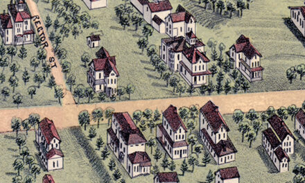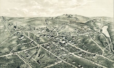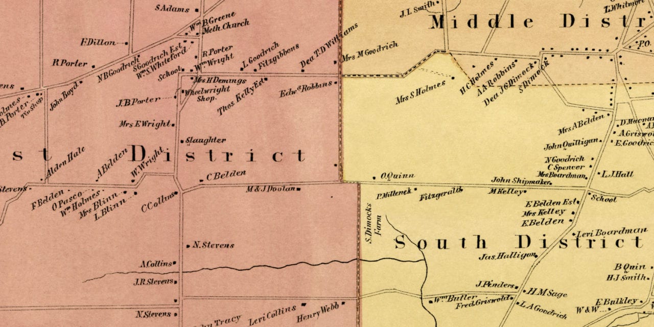
This old landowners map of Rocky Hill, Connecticut was created in 1869 by Baker & Tilden, cartographers from Hartford. The map features five districts: North, West, Middle, South, and Beckley Quarter District.
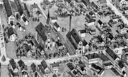
Each plot of land is labeled with the name of the person who owned the land at the time. Landmarks on the map include Morton’s Groceries, Sam Shipman’s Hotel, G.W.M. Blacksmith Shop, Ferry to South Glastonbury, Butler & Sugden’s Shear Shop, Hotel De Ryer, and more.
This historic map of Rocky Hill was restored by KNOWOL. Reproductions of the restored map are available here.
Landowners Map of Rocky Hill, CT from 1869
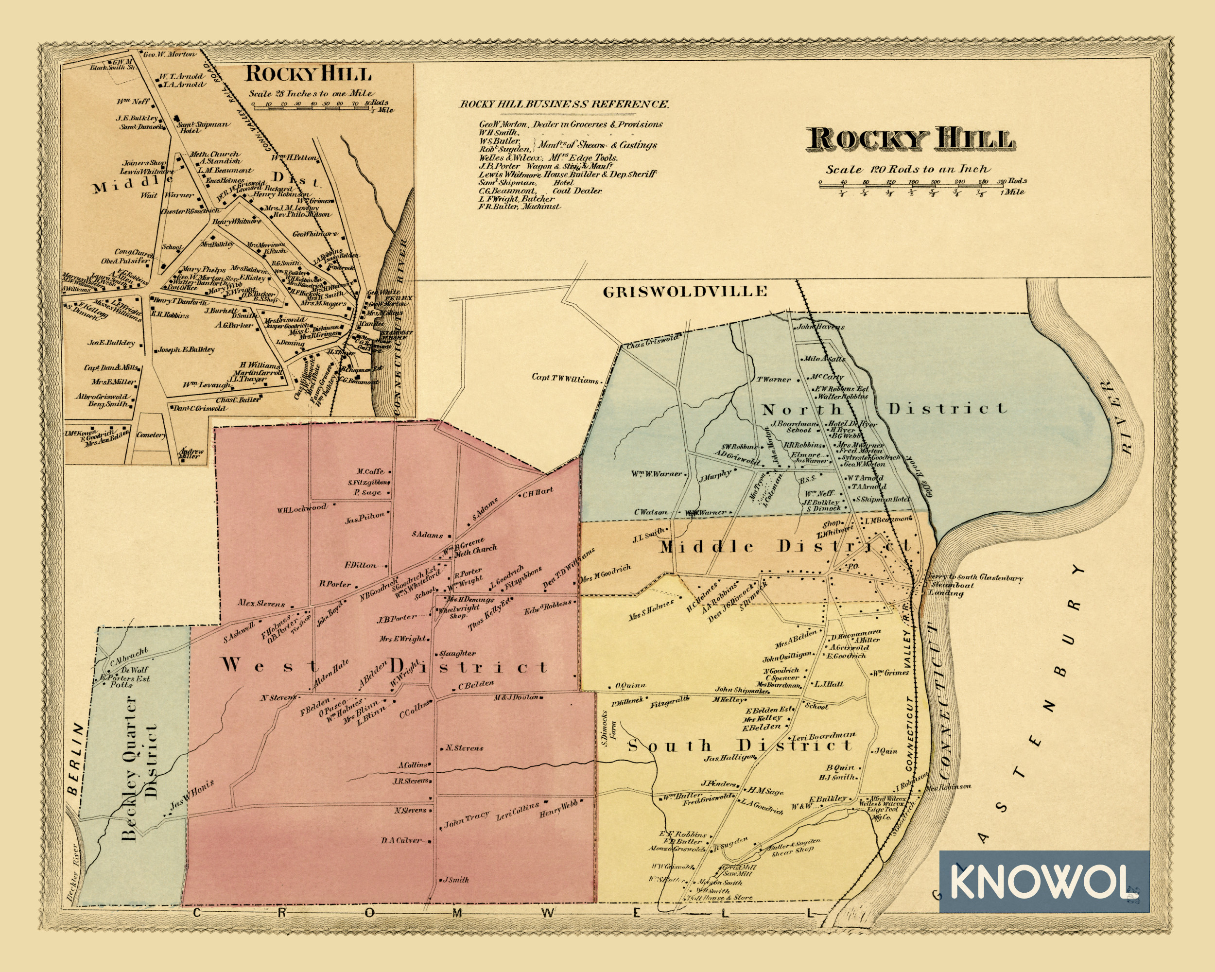
This vintage map of Rocky Hill makes an attractive addition to your office, library, or den and can even be used to teach children the geography and history of the area. When you’re done exploring, click here to get your copy.