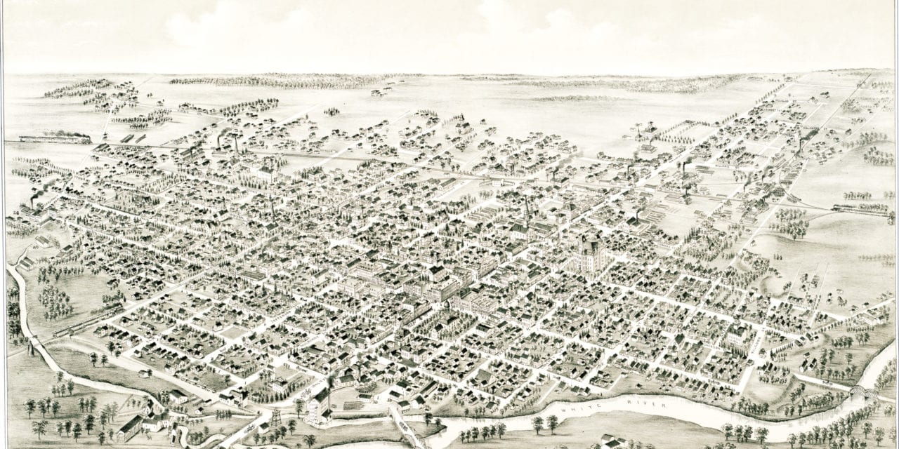
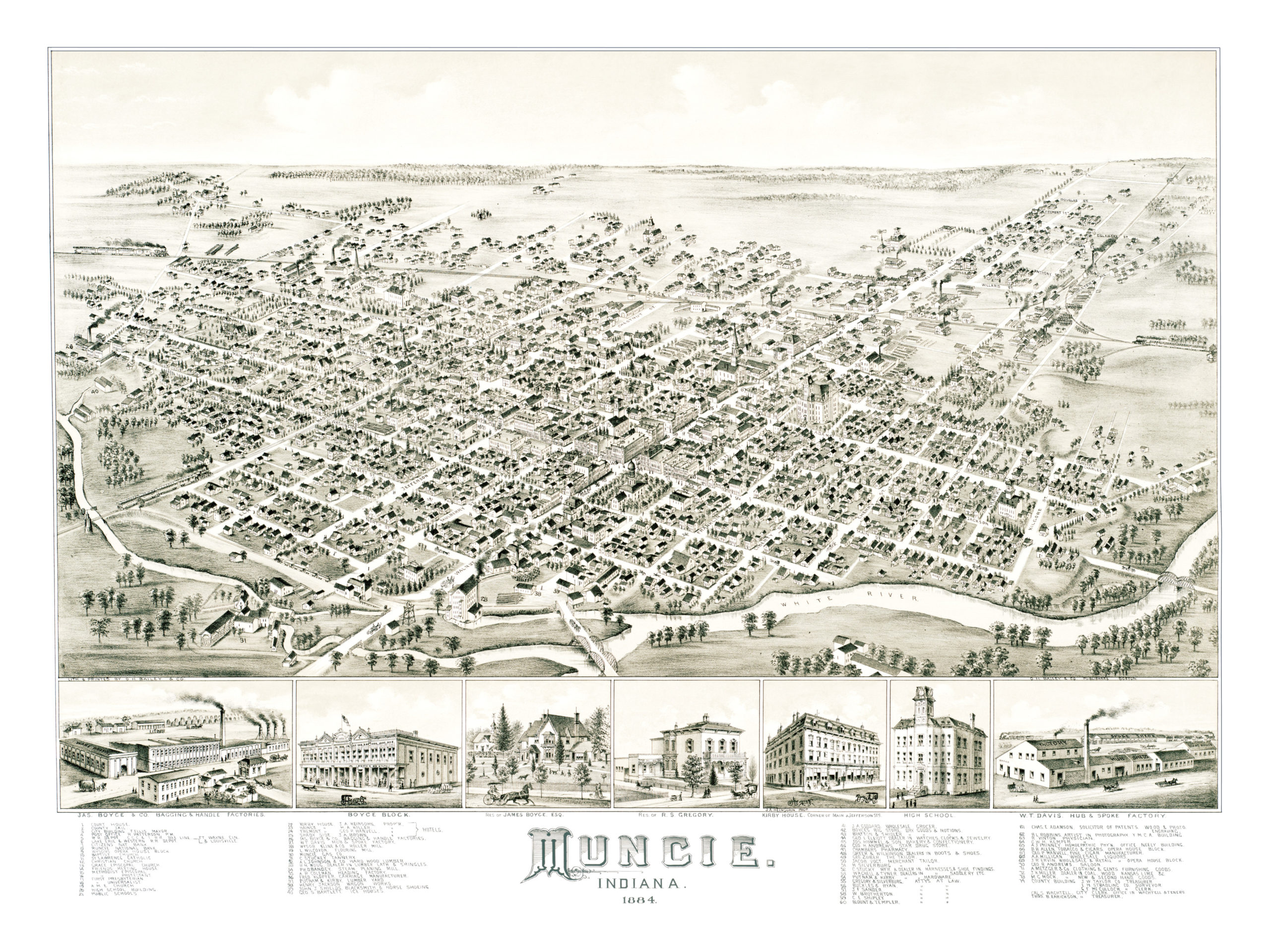
This historic old map of Muncie, Indiana was created in 1884 by O.H. Bailey, a prominent 19th century cartographer. The map shows a bird’s eye view of Muncie as it used to be, including street names and old landmarks.
Landmarks on the map include Wyson’s Opera House Block, Kirby Hotel, Shady Side Hotel, Muncie Gas Company, Johnson’s Hardwood Lumber, Klopfer’s Carriages, Jackson’s Wagon Works, Bartlett Ice Houses, Robbins Photography, Manvell Fine Cigars, Andrews Saloon, and more.
This historic map of Muncie, IN has been restored by KNOWOL. Reproductions of the map are available here.
Bird’s Eye View of Muncie, Indiana in 1884
This historic map of Muncie will make an attractive addition to your office, library, or den and can even be used to teach children the geography and history of the area. When you’re done exploring, click here to get your copy.