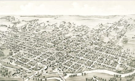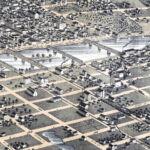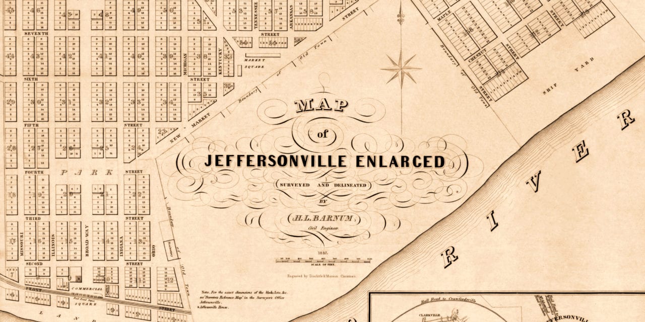
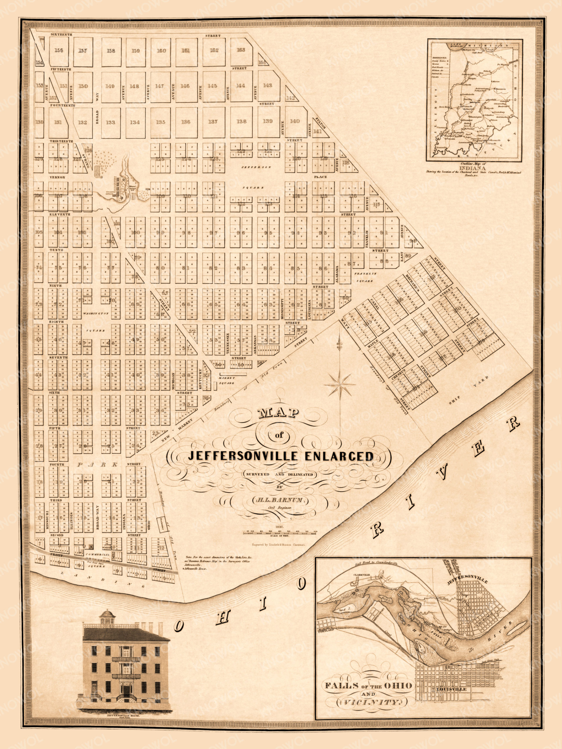
This historic map of Jeffersonville, Indiana was created in 1837 by H.L. Barnum, a civil engineer. The map shows an enlarged view of Jeffersonville in addition to an outline map of Indiana and a view of the Falls of the Ohio River.
Landmarks on the map include the Jeffersonville Ship Yard, Commercial Square, Washington Square, Jefferson Square, Franklin Square, Market Square, and more.
This historic map of Jeffersonville has been restored by KNOWOL. Reproductions of the restored map are available here.
Historic Old Map of Jeffersonville, Indiana from 1837
This vintage map of Jeffersonville makes an attractive addition to your office, library, or den, and can even be used to teach children the geography and history of the area. When you’re done exploring, click here to get your copy of the restored map.