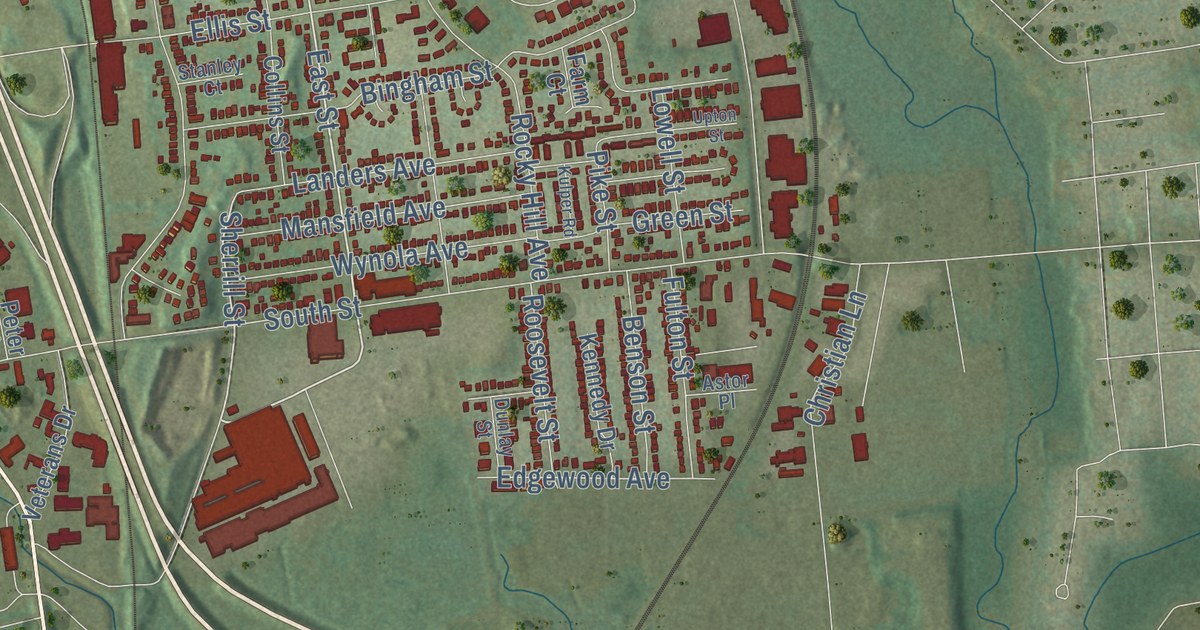
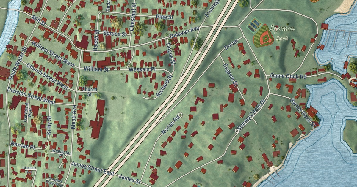
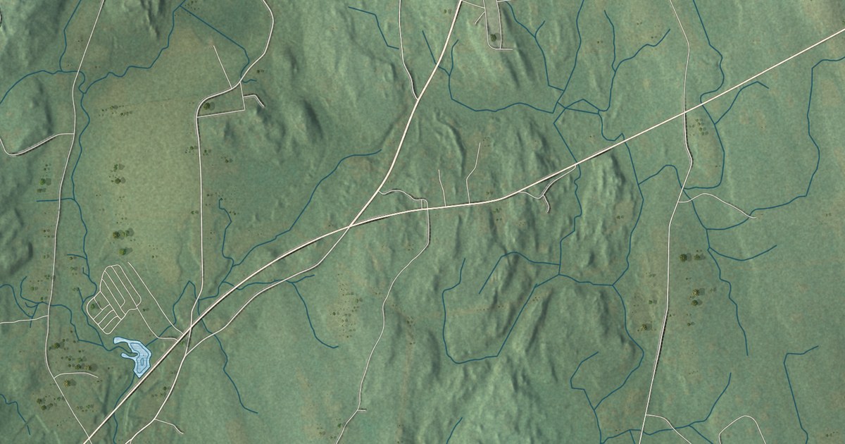
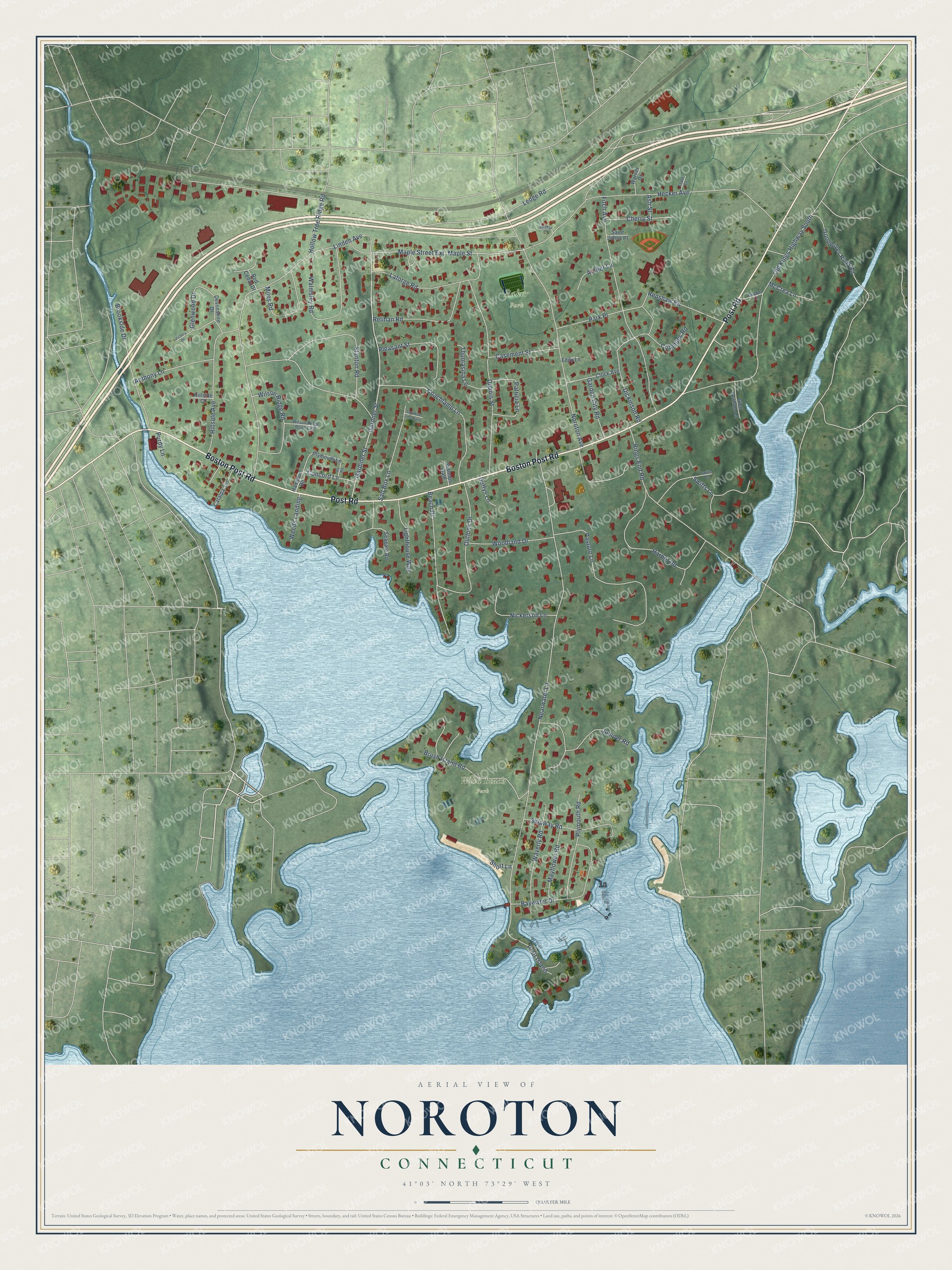
This beautifully detailed map of Noroton, Connecticut was created in 2026 using aerial imagery combined with modern topographical, census, street and landmark data. It's a modern aerial view of Noroton in Western Connecticut Planning Region, Connecticut, that combines modern data with a vintage aesthetic. The roads feature printed names, and if you look closely you can find your exact house accurately shown in its correct location.
Explore an aerial view of Noroton, Connecticut
On this map you'll find Baker Park, Weed Beach Park, Boston Post Road, Post Road, Maple Street, Stanton Road, Nearwater Lane, Hollow Tree Ridge Road, Gardiner Street, Gardner Street, Noroton Avenue, Old Kings Highway South, and more. Each red shape is a building, so zoom in on the preview and look for yours.
Noroton is a community in Western Connecticut Planning Region. The Census Bureau counted 5,317 people here in 2020. Noroton sits about 2 miles southwest of Darien Downtown, 3 miles southeast of Stamford and 4 miles southwest of Norwalk. The map prints the town name in its title panel, with the coordinates below it.
Take a closer look at the Noroton map
Names on this map
These names are printed on this map.
Places: Baker Park and Weed Beach Park.
Streets and roads: Boston Post Road, Post Road, Maple Street, Stanton Road, Nearwater Lane, Hollow Tree Ridge Road, Gardiner Street, Gardner Street, Noroton Avenue, Old Kings Highway South, Fitch Avenue, Ledge Road.
More street names, A to Z
Anthony Lane, Archer Lane, Ash Street, Baywater Drive, Beach Drive, Bishops Gate, Brookside Drive, Brush Island Road, By Road, Casement Street, Catalpa Terrace, Cherry Street, Clock Avenue, Coachlamp Lane, Concord Lane, Crimmins Road, Devonshire Drive, Dickinson Road, Dubois Street, Duffys Lane, Eddy Lane, Frate Court, Garden City Road, Glen Gorham Lane, Glenwood Drive, Goodwives River Road, Hampton Road, Harbor Road, Hecker Avenue, Hillside Avenue, Hillside Court, Juniper Road, Laforge Road, Lighthouse Way, Linden Avenue, Maple Street Extension, Mayflower Road, McCrea Lane, Miles Road, Nickerson Lane, Outlook Drive, Park Place, Pasture Lane, Patricia Lane, Pleasant Street, Plymouth Lane, Plymouth Road, Pratt Island, Purdy Lane, Quaker Lane, Red Cedar Drive, Relihan Road, Renshaw Road, Rings End Road, Saint Johns Place, Salt Box Lane, Salt Box Lane East, Seagate Road, Shipway Road, Short Lane, Swifts Drive, Swifts Lane, Thomasina Lane, Victory Drive, Walmsley Road, Warner Drive, Waverly Road, Weeds Landing, Wilson Ridge Road, Wilson Ridge Road East, Wistar Court, Woodland Drive.
See it on a wall
The Noroton map as a framed print. Swipe for more.


Created by KNOWOL in 2026. The buildings are small red shapes, the roads carry their printed names, and shaded relief shows the shape of the land. The title panel reads "AERIAL VIEW OF NOROTON, CONNECTICUT" with 41°03' NORTH 73°29' WEST.
It suits a den, a classroom or a front hall, and it makes a gift for anyone with Noroton roots. Open the preview and find the block you know. See sizes and frames for the Noroton map.