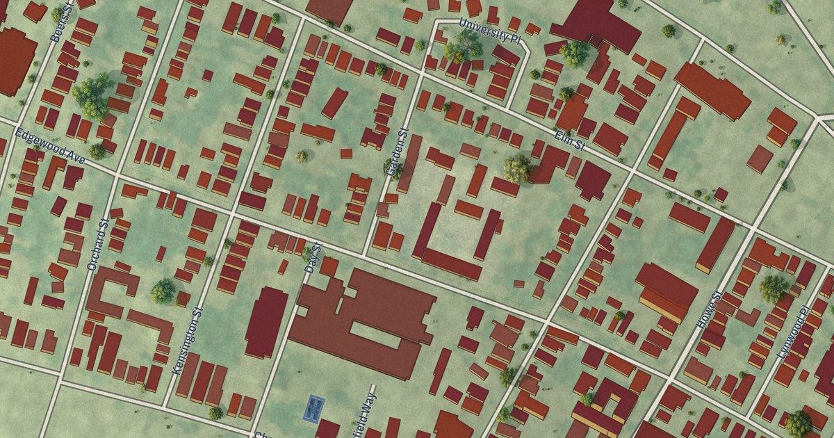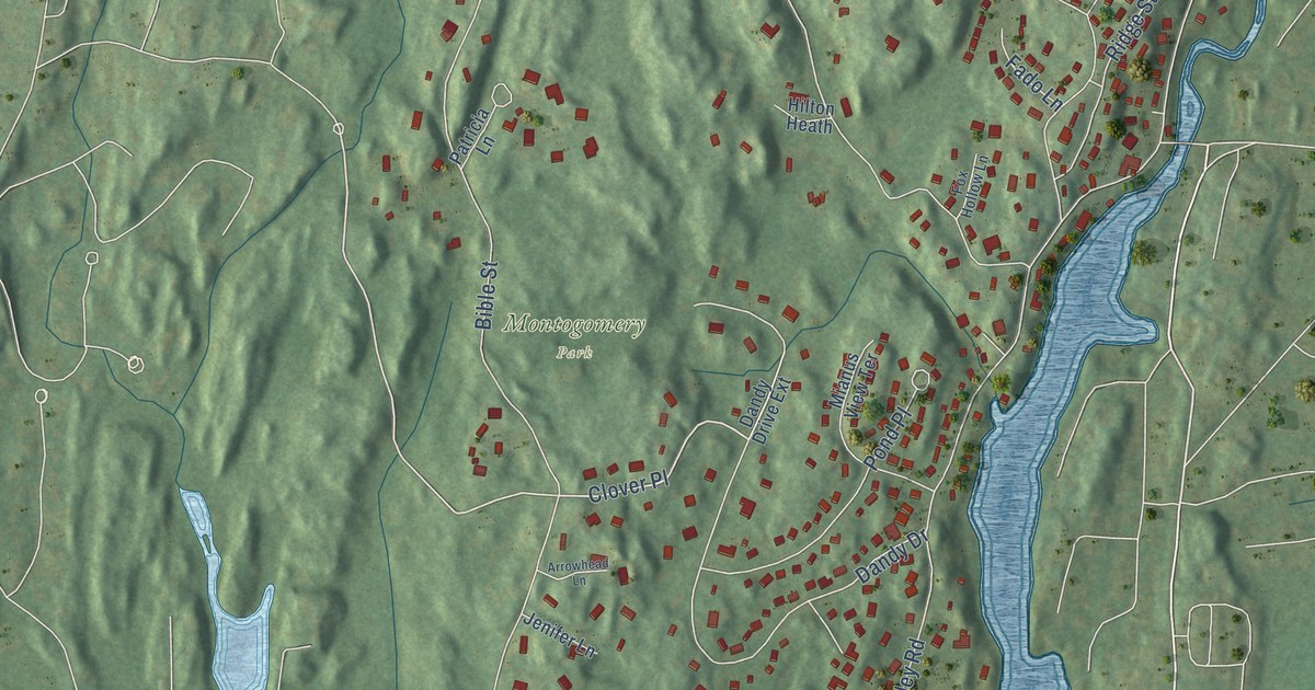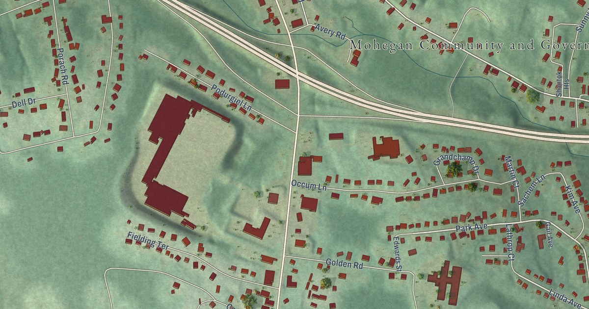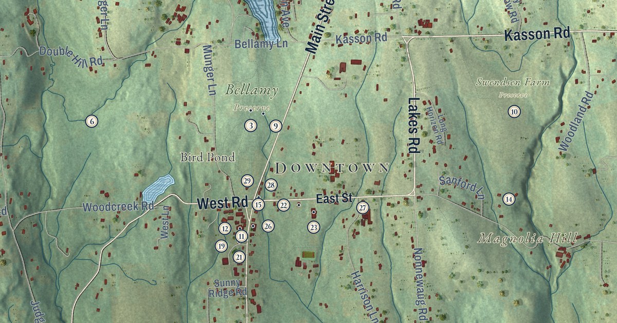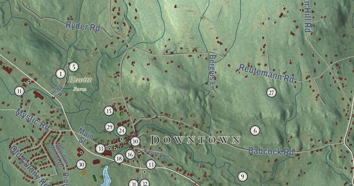
This beautifully detailed map of North Stonington, Connecticut was created in 2026 using aerial imagery combined with modern topographical, census, street and landmark data. It’s a one-of-a-kind view of North Stonington that combines accurate data with a vintage aesthetic. The map shows every building in its true location, many of the roads carry their names, and the shaded topographic relief shows the shape of the land.
See it on a wall
The North Stonington map as an 18 x 24 inch print in a black frame.

Explore an aerial view of North Stonington, Connecticut
On the map you’ll find Downtown, Clarks Falls, Laurel Glen, Ayer Hill, Barns Hill, Chapman Hill, Cider Hill, Anderson Pond, Blue Lake, Assekonk Swamp State Wildlife Management Area, Hewitt Farm, TriTown Forest Preserve, and more. If you look closely you can even find your house accurately drawn in its correct location. Zoom in on the preview to look for yours. Click here to learn more about the history of North Stonington.
Take a closer look at the North Stonington map
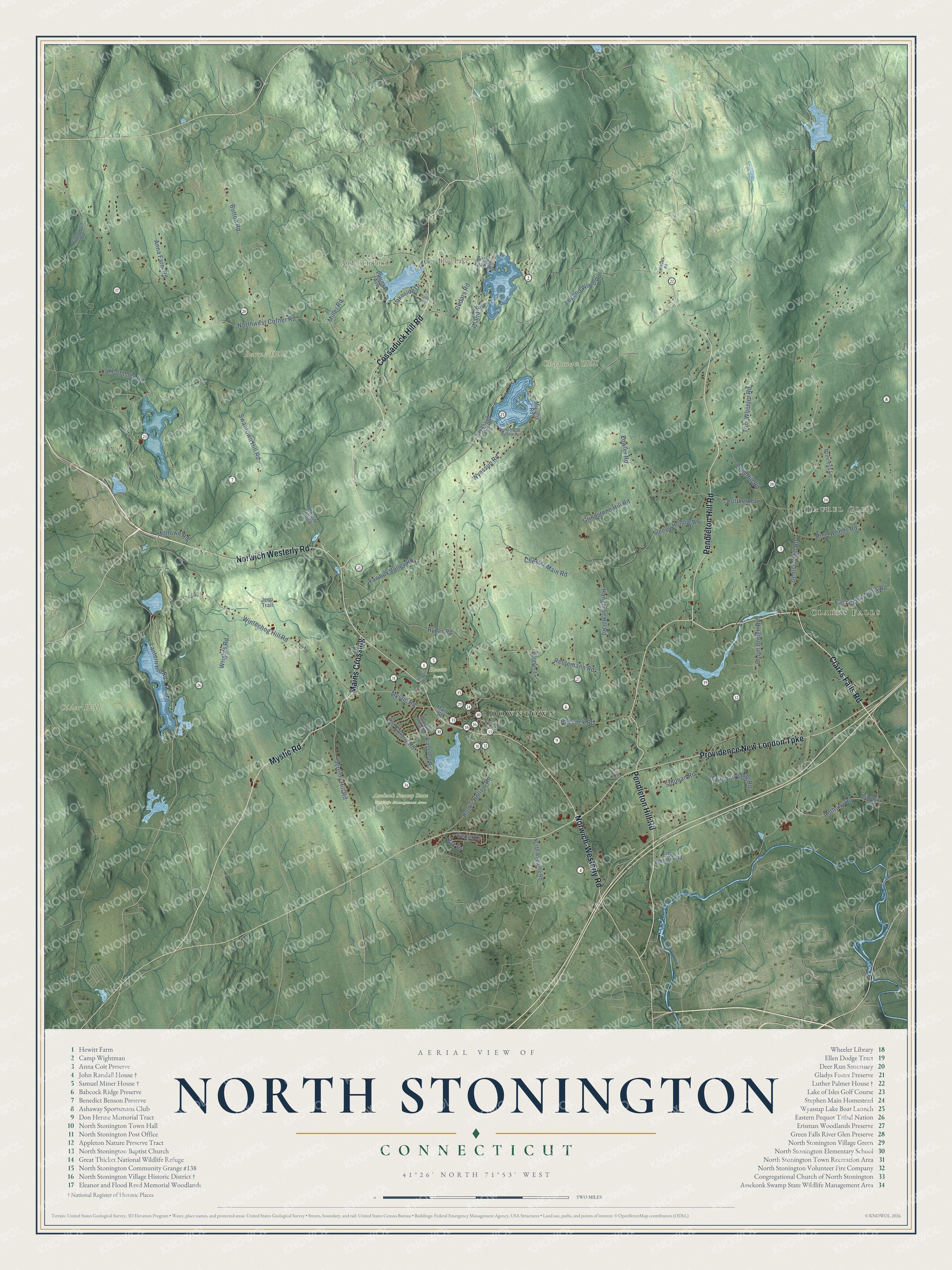
Click to explore a larger preview. The digital watermark does not appear on printed maps.
Names on this map
These names are printed on this map.
Places: Downtown, Clarks Falls, Laurel Glen, Ayer Hill, Barns Hill, Chapman Hill, Cider Hill, Anderson Pond, Blue Lake, Assekonk Swamp State Wildlife Management Area, Hewitt Farm and TriTown Forest Preserve.
Streets and roads: Clarks Falls Road, Mystic Road, Pendleton Hill Road, Norwich Westerly Road, Providence New London Turnpike, Cossaduck Hill Road, Norwich-Westerly Road, Mains Crossing, Denison Hill Road, Lantern Hill Road, East Clarks Falls Road, Oak Drive.
More street names, A to Z
Anna Farm Road, Anthony Road, Armstrong Pentway, Ashaway Road, Babcock Road, Bergius Lane, Billings Lake Road, Boom Bridge Road, Button Road, Caswell Lane, Cedar Drive, Cedars Road, Chester Main Road, Cranberry Bog Road, Ella Wheeler Road, Fowler Road, Grindstone Hill Road, Hangman Hill Road, Hewitt Pond, Hewitt Road, Hollowell Road, Island Road, Jeep Trail, Jeremy Hill Road, Johnson Road, Lake of Isles Road, Lakeside Drive, Legend Wood Road, Loin Hill Road, Main Street, Meadow Wood Drive, Miller Road, Milltown Road, Murphy Road, North Anguilla Road, Northwest Corner Road, Old Colony Road, Patricia Avenue, Pinecrest Road, Pine Woods Road, Polly Avenue, Princess Lane, Puttker Road, Reutemann Road, Rocky Hollow Road, Ryder Road, Sleepy Hollow Road, Stillman Road, Surrey Lane, Swantown Hill Road, Tom Wheeler Road, Wintechog Hill Road, Wrights Road, Wyassup Lake Road, Wyassup Road, Yawbux Valley Road.
This beautifully detailed map of North Stonington makes an attractive addition to your office, library, or den, and it can even be used to teach children the geography and history of the area. It also makes a great gift for anyone with North Stonington roots. When you’re done exploring, click here to get your copy of the North Stonington map.