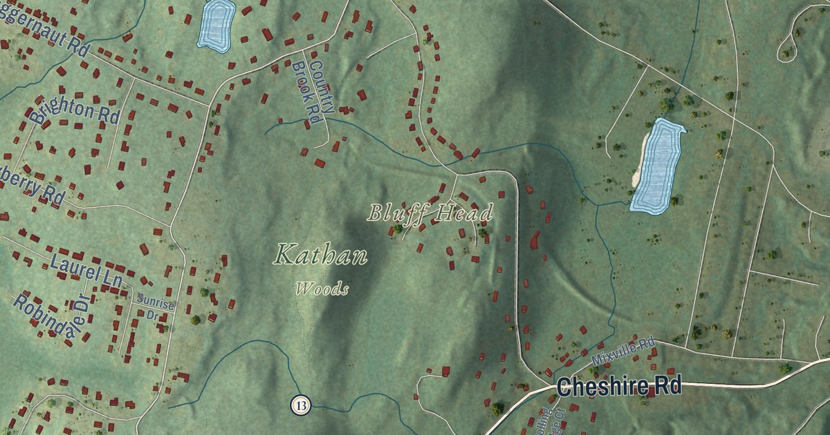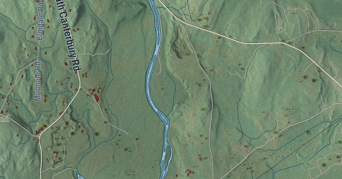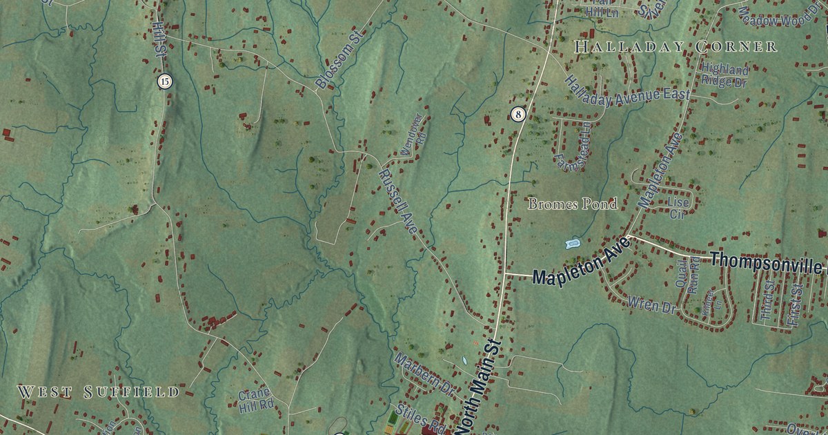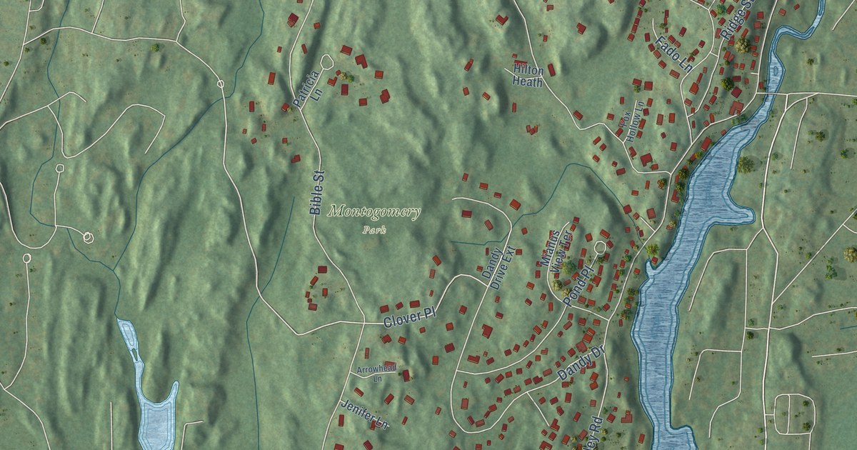
This beautifully detailed map of Cos Cob, Connecticut was created in 2026 using aerial imagery combined with modern topographical, census, street and landmark data. It's a modern aerial view of Cos Cob in Western Connecticut Planning Region, Connecticut, that combines modern data with a vintage aesthetic. The roads feature printed names, and if you look closely you can find your exact house accurately shown in its correct location.
Explore an aerial view of Cos Cob, Connecticut
On this map you'll find North Mianus, Montogomery Park, Mianus, East Post Road, East Putnam Avenue, Valleywood Road, Clover Place, Tremont Street, Valley Road, Bible Street, Cognewaugh Road, Cat Rock Road, and more. Each red shape is a building, so zoom in on the preview and look for yours.
Cos Cob is a community in Western Connecticut Planning Region. The Census Bureau counted 6,873 people here in 2020. Cos Cob sits about 2 miles northeast of Indian Field, 2 miles northeast of Greenwich and 2 miles northwest of Old Greenwich. The map prints the town name in its title panel, with the coordinates below it.
Take a closer look at the Cos Cob map
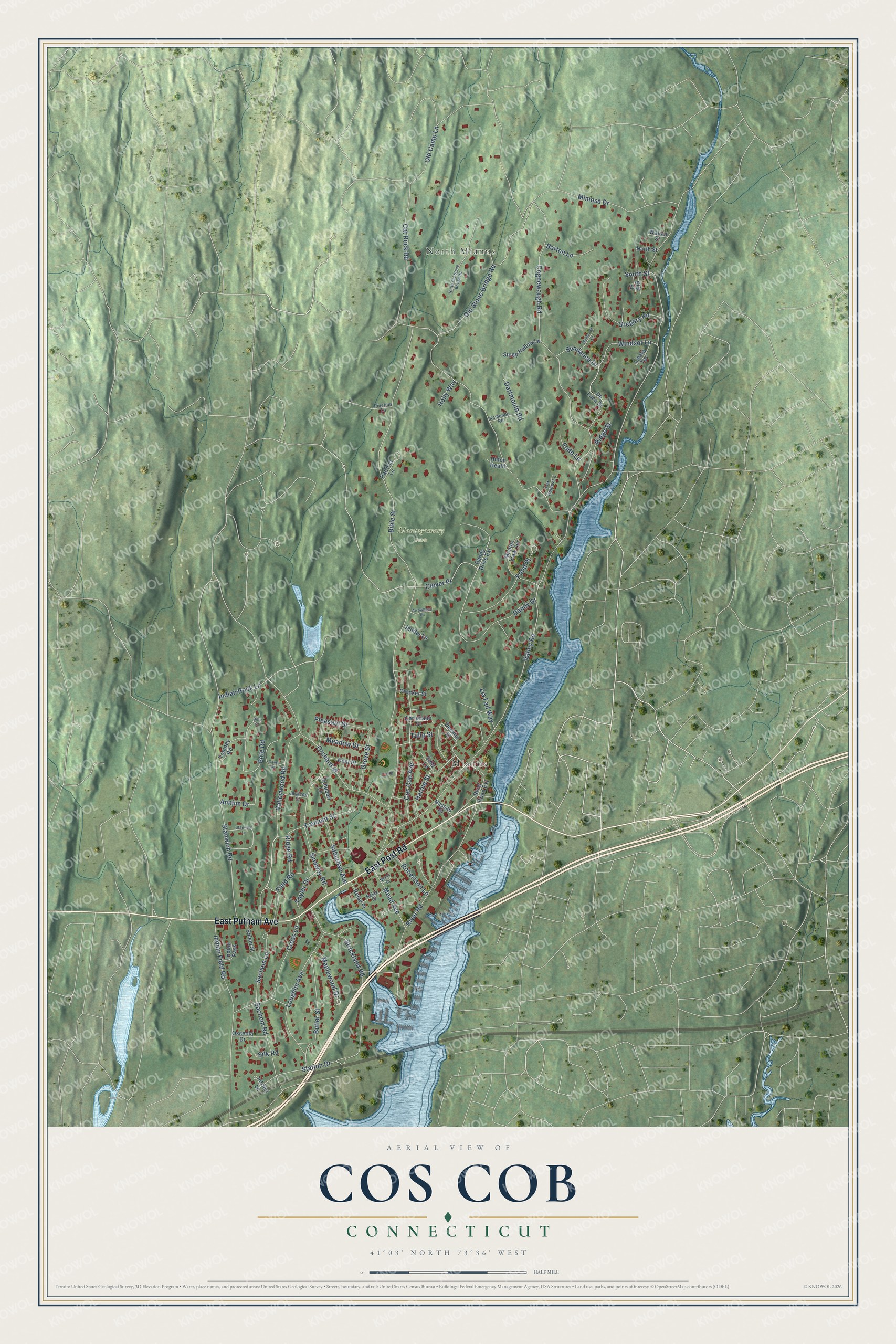
Names on this map
These names are printed on this map.
Places: North Mianus, Montogomery Park and Mianus.
Streets and roads: East Post Road, East Putnam Avenue, Valleywood Road, Clover Place, Tremont Street, Valley Road, Bible Street, Cognewaugh Road, Cat Rock Road, Orchard Street, Dandy Drive, Stanwich Road.
More street names, A to Z
Annjim Drive, Arrowhead Lane, Barton Lane, Bote Court, Bote Road, Butler Street, Christiano Street, Cos Cob Avenue, Crocker Street, Cross Lane, Dandy Drive Extension, Dartmouth Road, Decatur Street, De Luca Drive, Elm Street, Fado Lane, Field Road, Fox Hollow Lane, Gregory Road, Grove Street, Harold Street, Hilton Heath, Holly Way, Indian Field Road, Indian Pass, Indian Rock Lane, Intrieri Lane, Jackson Street, Jenifer Lane, Kemondo Road, Kent Place, Lia Fail Way, Licata Terrace, Loughlin Avenue, Maplewood Drive, Mead Avenue, Meadow Drive, Miami Court, Mianus View Terrace, Mimosa Drive, Nassau Place, North Old Stone Bridge Road, North Street, Old Camp Lane, Old Stone Bridge Road, Osceola Drive, Osee Place, Patricia Lane, Pinetum Lane, Pleasant Street, Pond Place, Relay Court, Relay Place, Ridge Road, Ridge Street, River Road, River Road Extension, Robertson Lane, Sachem Lane, Sachem Road, Salem Street, Schubert Lane, Seitz Lane, Silk Road, Sinawoy Road, South Street, Stanwich Lane, Station Drive, Steep Hollow Lane, Strickland Road, Suburban Avenue, Sundance Drive, Taylor Drive, Tomney Road, Tulip Street, Walnut Street, Windsor Lane, Wyndover Lane.
See it on a wall
The Cos Cob map as a framed print. Swipe for more.


Created by KNOWOL in 2026. The buildings are small red shapes, the roads carry their printed names, and shaded relief shows the shape of the land. The title panel reads "AERIAL VIEW OF COS COB, CONNECTICUT" with 41°03' NORTH 73°36' WEST.
Hang it in the hallway, the office or the cabin, or give it to someone who left Cos Cob and still calls it home. Open the preview and look for a street you know. See sizes and frames for the Cos Cob map.