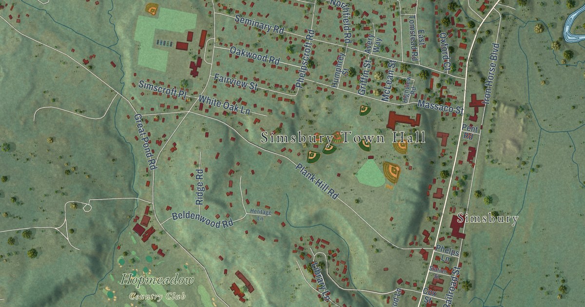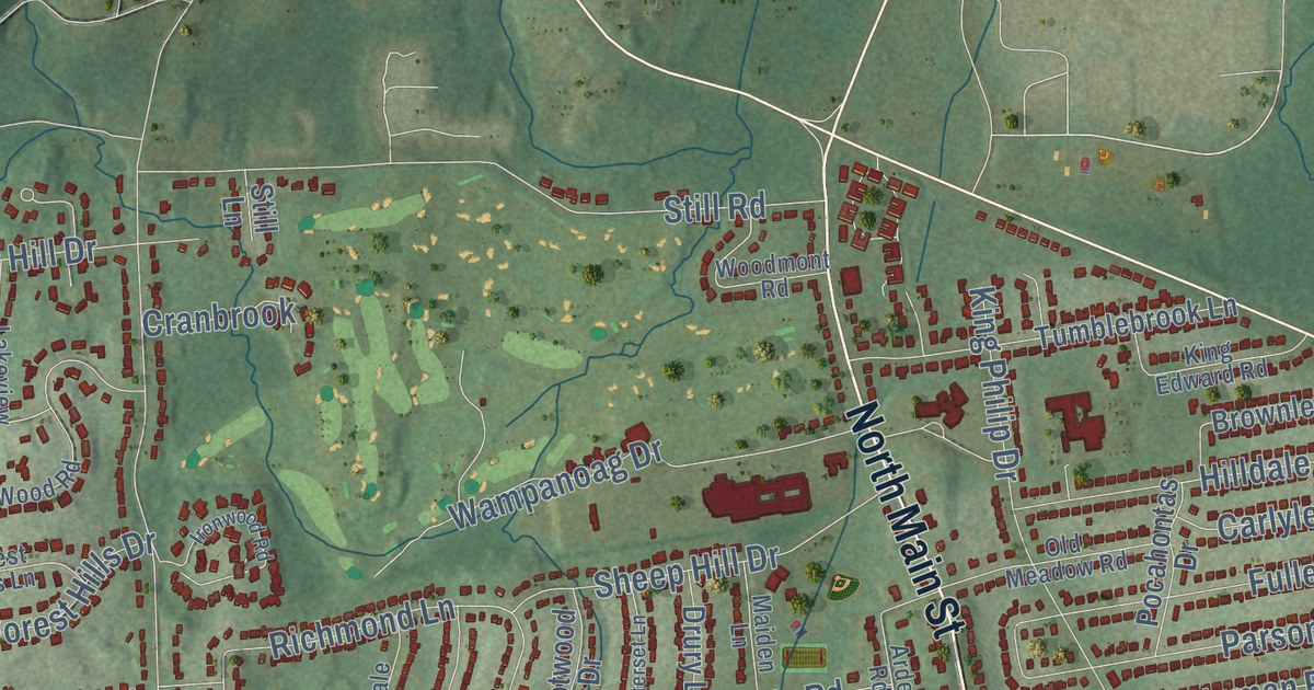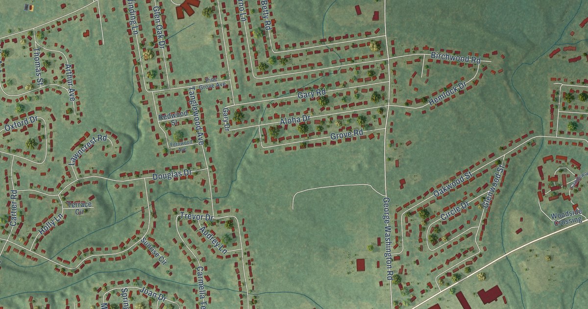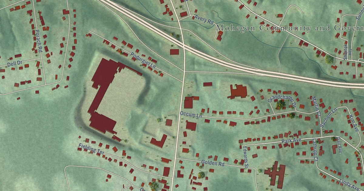
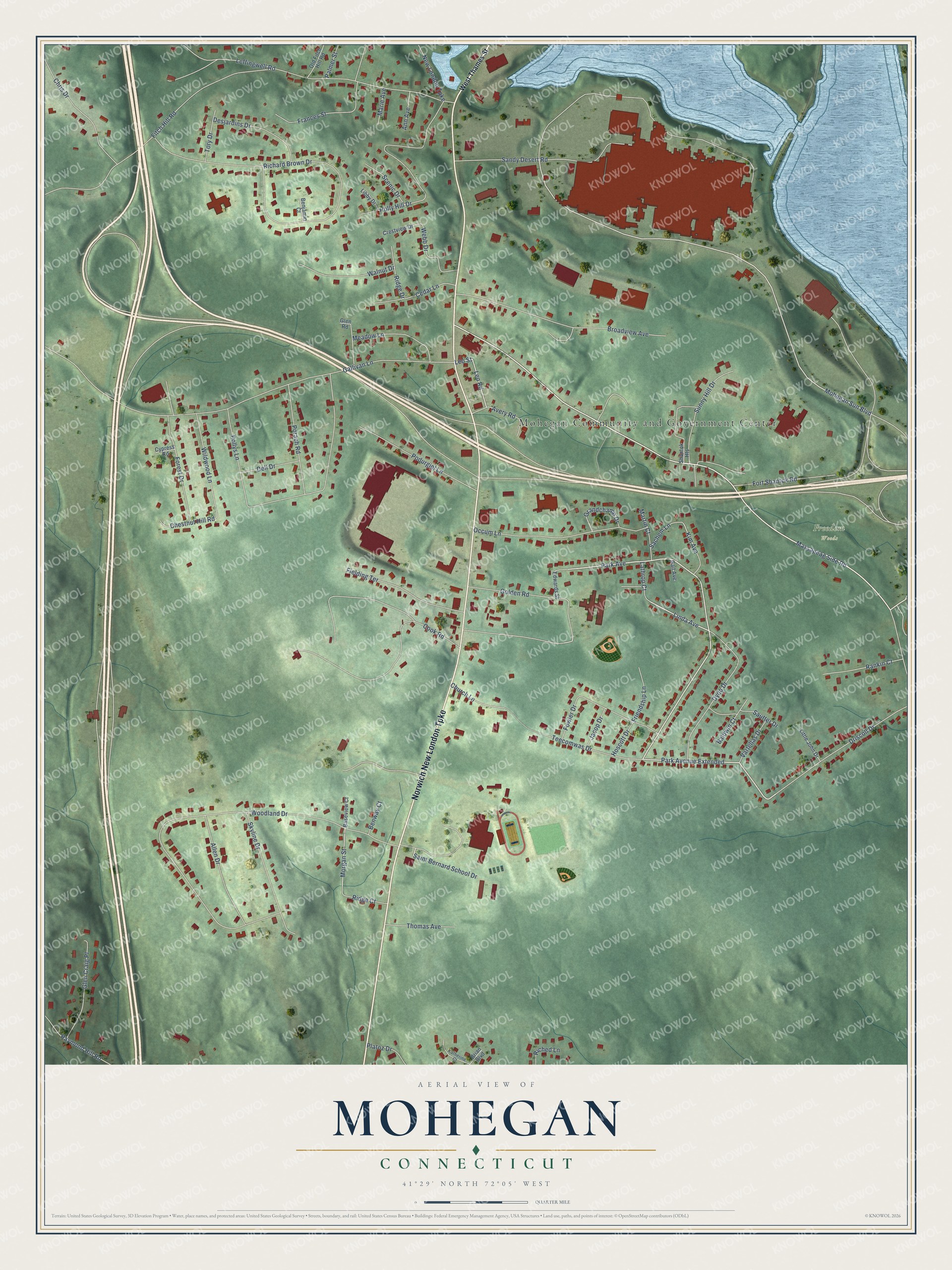
This beautifully detailed map of Mohegan, Connecticut was created in 2026 using aerial imagery combined with modern topographical, census, street and landmark data. It’s a one-of-a-kind view of Mohegan that combines accurate data with a vintage aesthetic. The map shows every building in its true location, many of the roads carry their names, and the shaded topographic relief shows the shape of the land.
Explore an aerial view of Mohegan, Connecticut
On the map you’ll find Mohegan Community and Government Center, Freedom Woods, and Park Avenue Extended, along with Norwich New London Turnpike, Park Avenue, Linda Avenue, Mohegan Sun Boulevard, Leo Street, Morgan Street, Fitch Hill Road, Gallivan Lane, Fort Shantok Road, and more. If you look closely you can even find your house accurately drawn in its correct location. Zoom in on the preview to look for yours.
Did You Know?
From Internet Archive: "After the disputed Mohegan claim was settled a survey of the land was made in 1705."
Mohegan is a community in Southeastern Connecticut County.
Take a closer look at the Mohegan map
Names on this map
These names are printed on this map.
Places: Mohegan Community and Government Center and Freedom Woods.
Streets and roads: Norwich New London Turnpike, Park Avenue Extended, Park Avenue, Linda Avenue, Mohegan Sun Boulevard, Leo Street, Morgan Street, Fitch Hill Road, Gallivan Lane, Fort Shantok Road, Woodland Drive, Richard Brown Drive.
More street names, A to Z
Allen Drive, Ann Avenue, Avery Road, Baldwin Court, Baseview Court, Benjamin Court, Benway Court, Brian Boulevard, Broadview Avenue, Cedar Lane, Chestnut Hill Road, Chris Drive, Church Lane, Cook Road, Crestview Drive, Cypress Road, Dell Drive, Desjardins Drive, Driscoll Drive, Dydo Drive, Edwards Street, Fielding Terrace, Forest Drive, Fowler Drive, Frances Street, Friendship Lane, Gail Avenue, Glen Craig Place, Glen Road, Golden Road, Grandchamp Drive, Holly Hill Drive, Hoscott Drive, Jacop Drive, Katherine Court, Kim Avenue, Lathrop Court, Leffingwell Road, Leo Road, Libby Drive, Little John Drive, Marie Avenue, Martin Court, Massapeag Side Road, Meadow Lane, New London Turnpike, Occum Lane, Old Fitch Hill Road, Palmer Street, Platoz Drive, Podurgiel Lane, Pollys Lane, Porach Road, Rankin Court, Raymond Hill Road, Riched Lane, Ridge Court, Ridge Drive, Sachem Lane, Saint Bernard School Drive, Sandy Desert Road, Sautter Drive, Scenic Drive, Shantok Heights, Skyline Drive, Sunny Hill Drive, Teecomwas Drive, Thomas Avenue, Tory Drive, Vartellas Drive, Walnut Drive, Webb Drive, West Thames Street, Wildwood Lane.
See it on a wall
The Mohegan map as a framed print. Swipe for more.


This beautifully detailed map of Mohegan makes an attractive addition to your office, library, or den, and it can even be used to teach children the geography and history of the area. It also makes a great gift for someone who left Mohegan and still calls it home. When you’re done exploring, click here to get your copy of the Mohegan map.