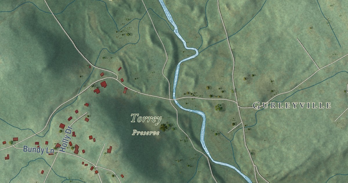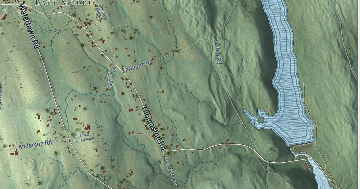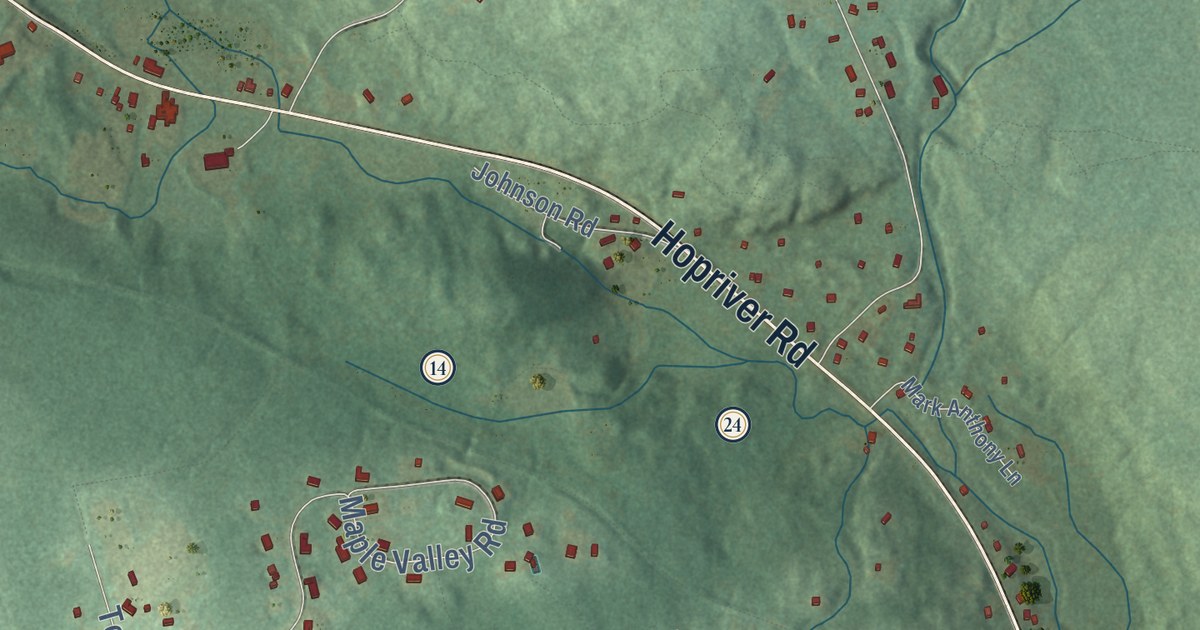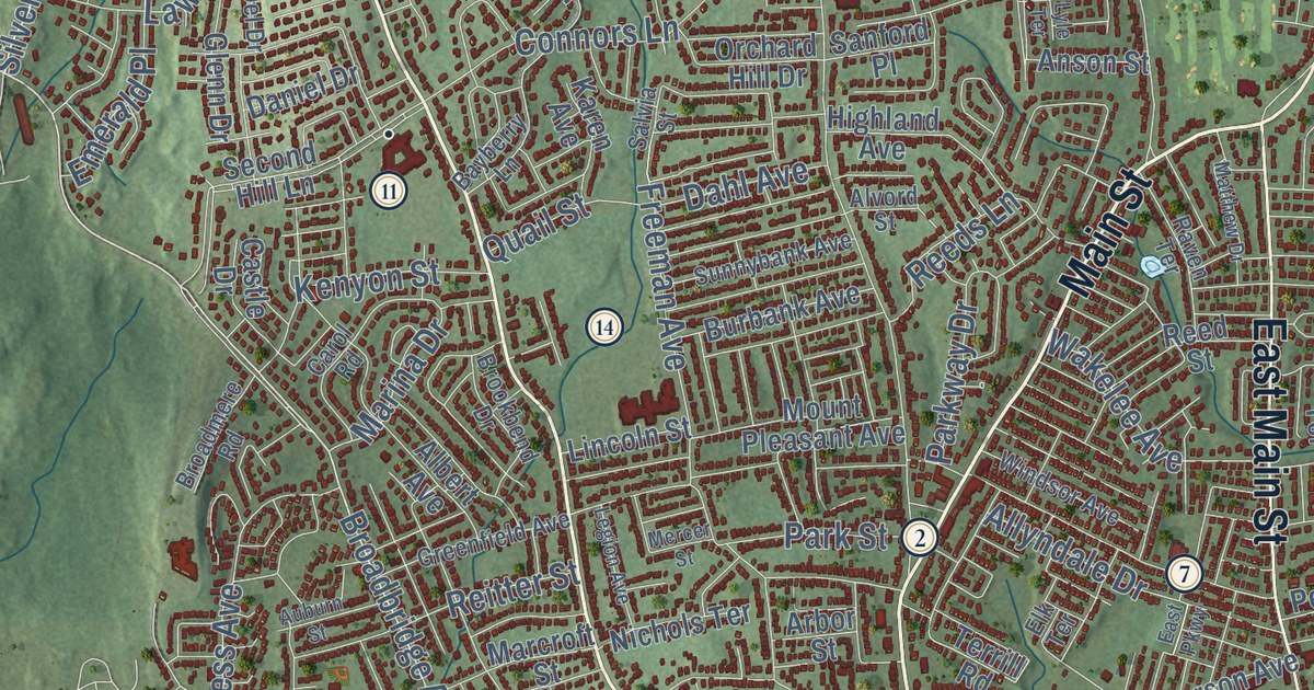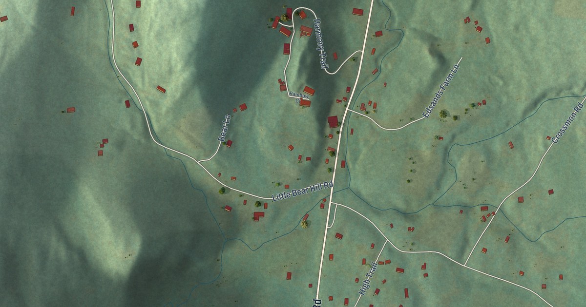
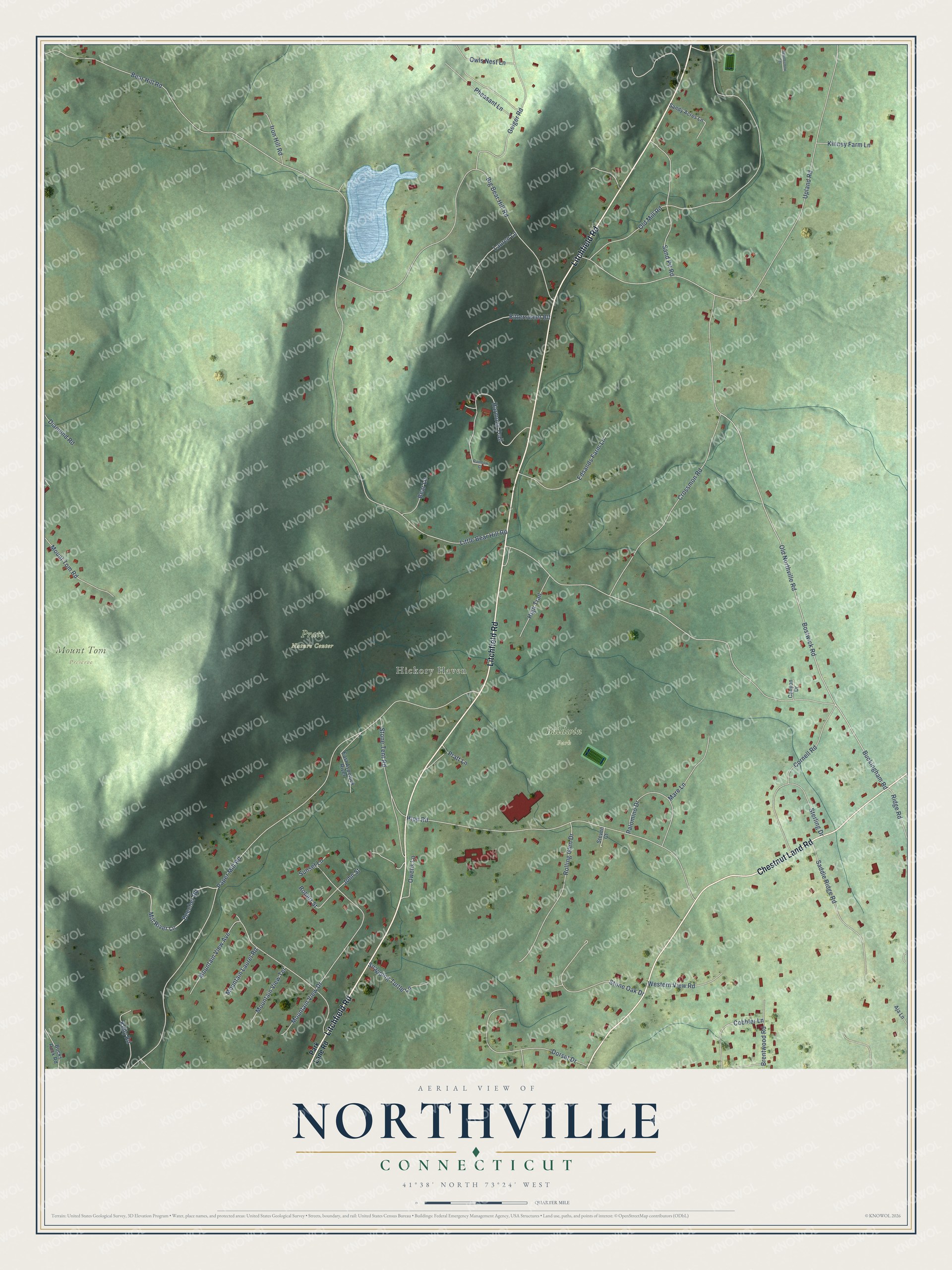
This beautifully detailed map of Northville, Connecticut was created in 2026 using aerial imagery combined with modern topographical, census, street and landmark data. It’s a one-of-a-kind view of Northville that combines accurate data with a vintage aesthetic. The map shows every building in its true location, many of the roads carry their names, and the shaded topographic relief shows the shape of the land.
Explore an aerial view of Northville, Connecticut
On the map you’ll find Hickory Haven, Baldwin Park, Mount Tom Preserve, and Pratt Nature Center, along with Litchfield Road, Chestnut Land Road, Paper Mill Road, Buckingham Road, Little Bear Hill Road, Upland Road, Bostwick Road, Old Northville Road, and more. If you look closely you can even find your house accurately drawn in its correct location. Zoom in on the preview to look for yours.
Did You Know?
From Internet Archive: "Clark's great-grandfather, Daniel Clark, who was a native of Milford, Conn., settled in Northville, in the town of New Milford, Litchfield County, where he bought a large farm."
Northville is a community in Western Connecticut County.
Take a closer look at the Northville map
Names on this map
These names are printed on this map.
Places: Hickory Haven, Baldwin Park, Mount Tom Preserve and Pratt Nature Center.
Streets and roads: Litchfield Road, Chestnut Land Road, Paper Mill Road, Buckingham Road, Little Bear Hill Road, Upland Road, Bostwick Road, Old Northville Road, Big Bear Hill Road, Hipp Road, Crossmon Road, Bear Hill Road.
More street names, A to Z
Aja Lane, Bear Lane, Beecher Road, Bittersweet Blf, Brentwood Road, Bucks Rock Road, Canyon Drive, Cobbler Lane, Cornell Road, Diamond Road, Dorset Drive, East Aspetuck River, Edsands Farm Lane, Geiger Road, Harmony Trail, Hearthstone Terrace, High Trail, Iron Hill Road, John Street, Kelly Road, Kinney Farm Lane, Lauren Lane, Mare Lane, Mill River Lane, Mountain Laurel Road, Mountain View Avenue, Mountain View Drive, Mountain View Terrace, Mount Tom Road, Old Mill Road, Owens Lane, Owls Nest Lane, Palomino Drive, Park Lane Road, Pheasant Lane, Pratt Lane, Rainbow Court, Ridge Road, Robert Street, Rolling Glen Drive, Saddle Ridge Road, Sand Pit Road, Sandy Acres Lane, Snapping Turtle Lane, Sterling Drive, Steven Court, Stone Oak Drive, Stone Tent Road, Sunset Lane, Western View Road.
See it on a wall
The Northville map as a framed print. Swipe for more.


This beautifully detailed map of Northville makes an attractive addition to your office, library, or den, and it can even be used to teach children the geography and history of the area. It also makes a great gift for anyone with Northville roots. When you’re done exploring, click here to get your copy of the Northville map.