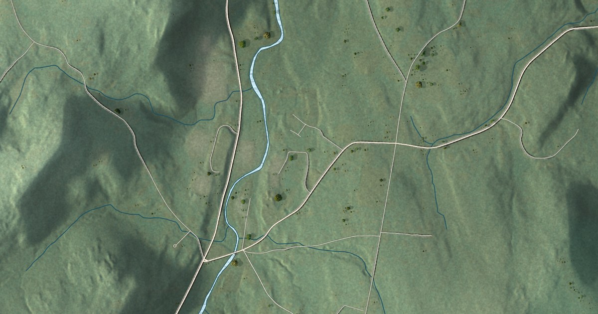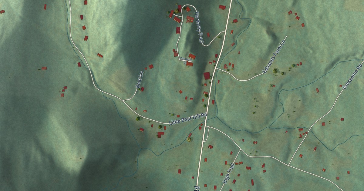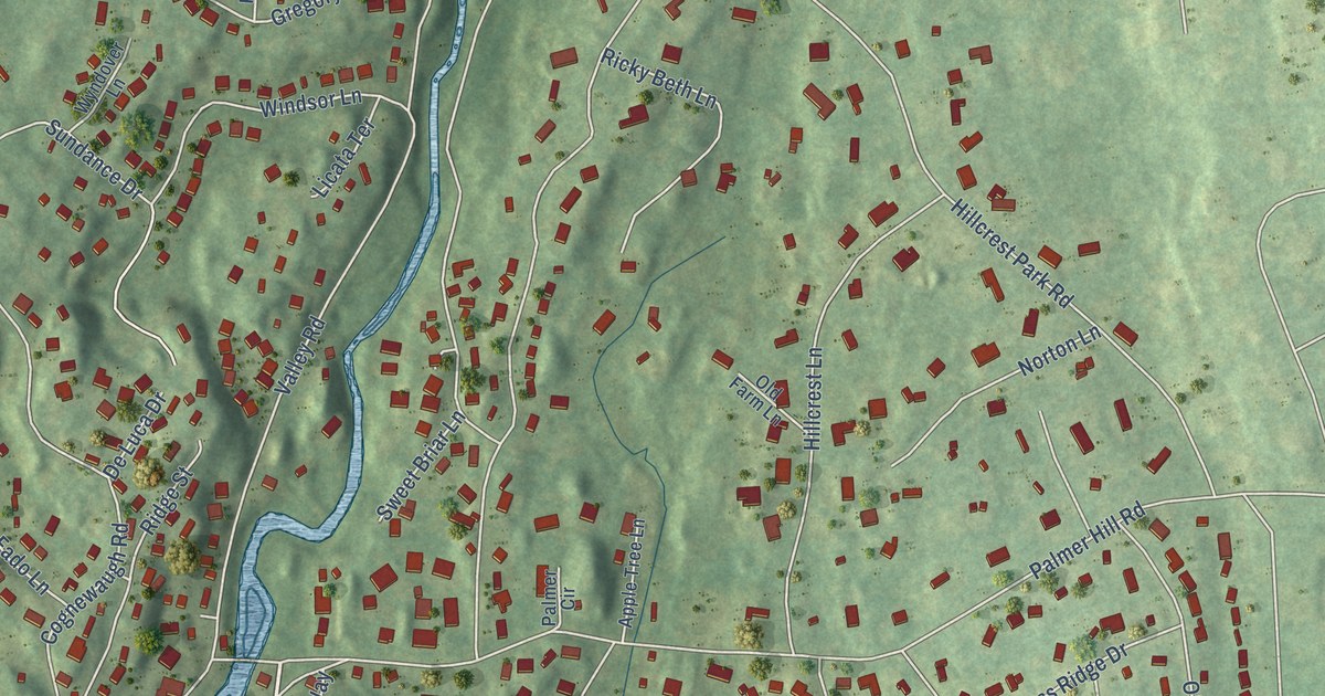
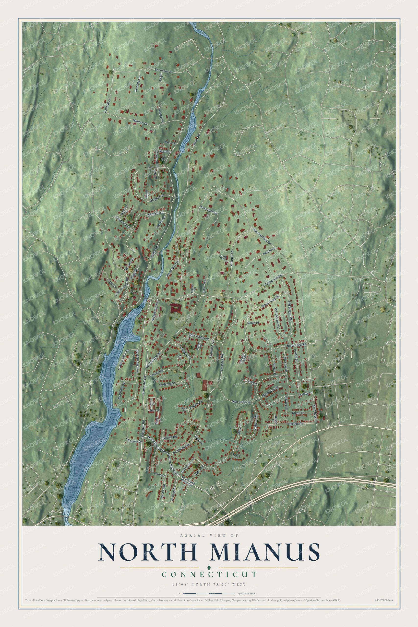
This beautifully detailed map of North Mianus, Connecticut was created in 2026 using aerial imagery combined with modern topographical, census, street and landmark data. It’s a one-of-a-kind view of North Mianus that combines accurate data with a vintage aesthetic. The map shows every building in its true location, many of the roads carry their names, and the shaded topographic relief shows the shape of the land.
Explore an aerial view of North Mianus, Connecticut
On the map you’ll find North Sound Beach Avenue Extended, along with Sheephill Road, Hoover Road, Chestnut Street, Valley Road, Hillcrest Park Road, River Road, Palmer Hill Road, Cognewaugh Road, Florence Road, Halsey Drive, and more. If you look closely you can even find your house accurately drawn in its correct location. Zoom in on the preview to look for yours.
Did You Know?
From Internet Archive: "Postal communications between New York and Boston were first established in 1673, and Dumpling Pond, now known as North Mianus, being on the King's Highway, became the first business centre of the town."
North Mianus is a community in Western Connecticut County.
Take a closer look at the North Mianus map
Names on this map
These names are printed on this map.
Streets and roads: Sheephill Road, North Sound Beach Avenue Extended, Hoover Road, Sheep Hill Road, Chestnut Street, Valley Road, Hillcrest Park Road, River Road, Palmer Hill Road, Cognewaugh Road, Florence Road, Halsey Drive.
More street names, A to Z
Amherst Road, Apple Tree Lane, Arnold Street, Azalea Terrace, Benenson Drive, Birdsong Place, Bonan Drive, Bonwit Road, Crawford Terrace, Cross Ridge Drive, Daffodil Lane, De Luca Drive, Edward Place, Elm Street, Fado Lane, Gerald Court, Gregory Road, Griffith Road, Hassake Road, Havemeyer Lane, Hillcrest Lane, Hunter Street, Lakeview Drive, Lancer Road, Lejeune Court, Licata Terrace, Loading Rock Road, Long Meadow Road, Macarthur Drive, Mac Arthur Drive, Marshall Street, Mary Lane, Mimosa Drive, Nearwater Lane, Neighborly Way, Nimitz Place, Northridge Road, North Sound Beach Avenue, North Street, Norton Lane, Old Farm Lane, Old Orchard Road, Old Wagon Road, Palmer Circle, Park Street, Perna Lane, Perry Place, Pleasant View Place, Rainbow Drive, Revere Road, Ricky Beth Lane, Ridge Street, Robin Place, Ronald Lane, Serenity Lane, Shelter Drive, Silo Circle, Silver Beech Road, South Street, Split Timber Place, Stirrup Lane, Stuart Drive, Sundance Drive, Sunshine Avenue, Surrey Drive, Sweet Briar Lane, Tory Road, Walnut Street, Watchtower Lane, Wescott Street, Whiffletree Way, Windsor Lane, Wyndover Lane.
See it on a wall
The North Mianus map as a framed print. Swipe for more.


This beautifully detailed map of North Mianus makes an attractive addition to your office, library, or den, and it can even be used to teach children the geography and history of the area. It also makes a great gift for someone who left North Mianus and still calls it home. When you’re done exploring, click here to get your copy of the North Mianus map.