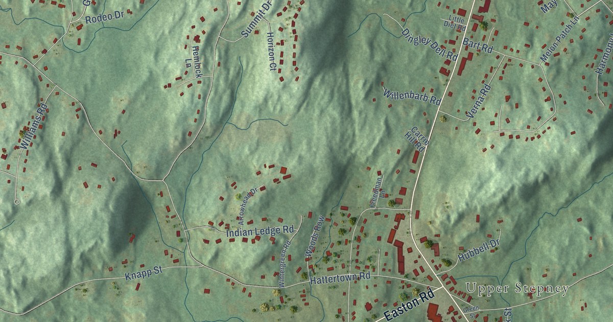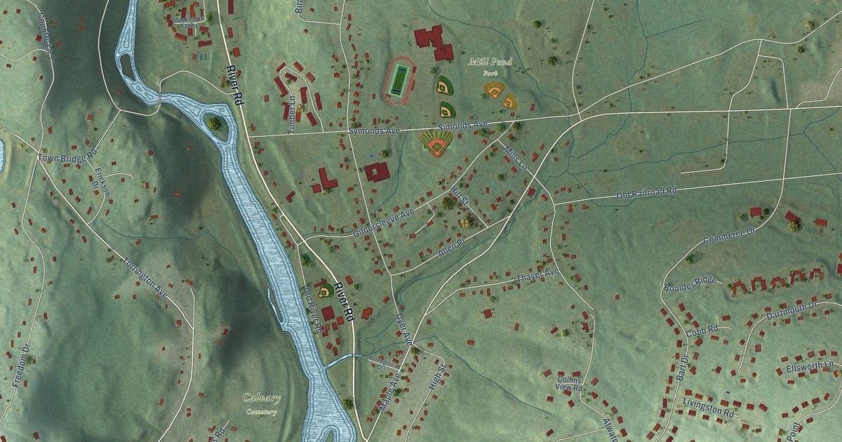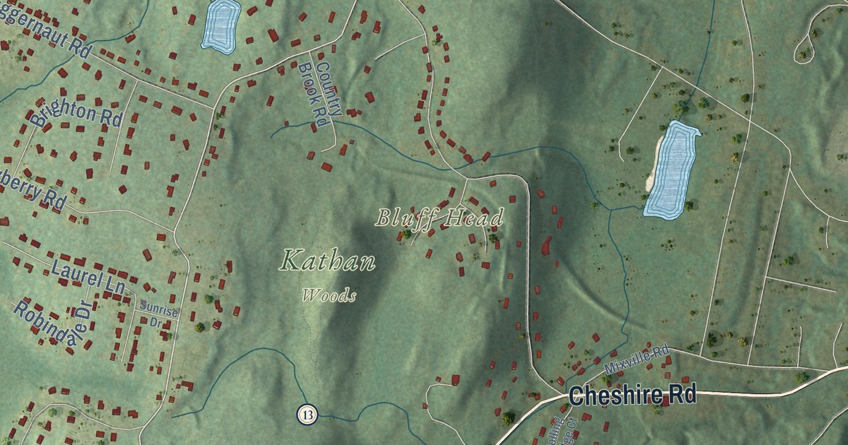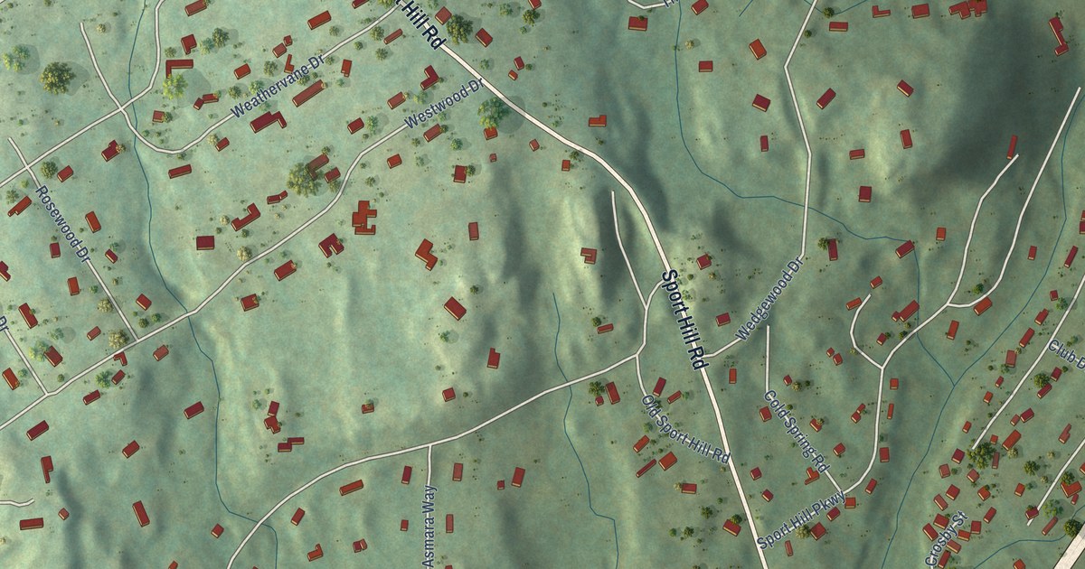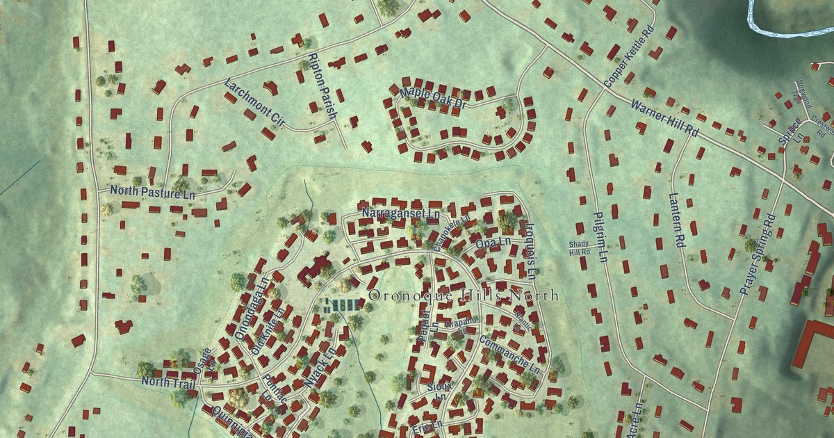
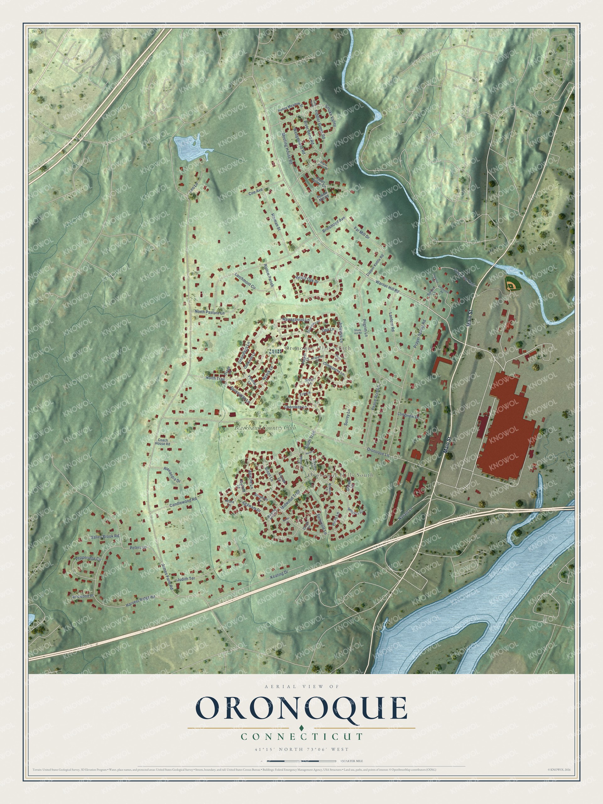
This beautifully detailed map of Oronoque, Connecticut was created in 2026 using aerial imagery combined with modern topographical, census, street and landmark data. It's a modern aerial view of Oronoque in Greater Bridgeport Planning Region, Connecticut, that combines modern data with a vintage aesthetic. The roads feature printed names, and if you look closely you can find your exact house accurately shown in its correct location.
Explore an aerial view of Oronoque, Connecticut
On this map you'll find Oronoque Hills South, Oronoque Hills North, Blackhawk Country Club, Main Street, Warner Hill Road, North Trail, Meeting House Road, James Farm Road, Oronoque Lane, South Trail, Brinsmayd Avenue, Harvest Ridge Road, and more. Each red shape is a building, so zoom in on the preview and look for yours.
Oronoque is a community in Greater Bridgeport Planning Region. The Census Bureau counted 3,790 people here in 2020. Oronoque sits about 3 miles southeast of Shelton, 4 miles east of Trumbull Center and 4 miles north of Stratford Downtown. The map prints the town name in its title panel, with the coordinates below it.
Take a closer look at the Oronoque map
Names on this map
These names are printed on this map.
Places: Oronoque Hills South, Oronoque Hills North and Blackhawk Country Club.
Streets and roads: Main Street, Warner Hill Road, North Trail, Meeting House Road, James Farm Road, Oronoque Lane, South Trail, Brinsmayd Avenue, Harvest Ridge Road, Prayer Spring Road, Maple Oak Drive, Pilgrim Lane.
More street names, A to Z
Acorn Lane, Agawam Drive, Alexandra Drive, Algonquin Lane, Apache Lane, Arapaho Lane, Arrowood Place, Baton Lane, Bayfield Lane, Bison Lane, Buckskin Lane, Candlewood Road, Cayuga Lane, Chapokele Lane, Cherokee Lane, Coach House Road, Coe Avenue, Commanche Lane, Copper Kettle Road, Creek Lane, Crestwood Road, Dogwood Trail, Engine House Road, Erie Lane, Far Mill Drive, Fiddler Green Road, Happy Hollow Circle, Hinman Street, Huron Lane, Iroquois Lane, Judith Terrace, Keating Drive, Lantern Road, Larchmont Circle, Leo Lane, Longview Drive, Midwood Trail, Montauk Lane, Narraganset Lane, Navajo Lane, Niantic Lane, North Pasture Lane, Nyack Lane, Old Knife Lane, Onondaga Lane, Opa Lane, Osage Lane, Ottowa Lane, Peace Acre Lane, Penny Meadow Street, Pepperidge Circle, Pequot Lane, Peters Lane, Pine Tree Trail, Piute Lane, Pontiac Lane, Powder Mill Road, Quinnipiac Lane, Ripton Parish, River Bend Road, Running Brook Lane, Seminole Lane, Sequoia Lane, Shady Hill Road, Shoshoni Lane, Sioux Lane, Smoke Valley, Spruce Lane, Surrey Lane, Turtle Run Drive, Valley Brook Road, Wedgewood Road.
See it on a wall
The Oronoque map as a framed print. Swipe for more.


Created by KNOWOL in 2026. The buildings are small red shapes, the roads carry their printed names, and shaded relief shows the shape of the land. The title panel reads "AERIAL VIEW OF ORONOQUE, CONNECTICUT" with 41°15' NORTH 73°06' WEST.
It looks right in a kitchen, an office or a den, and it's a gift for anyone who grew up in Oronoque or moved away. Open the preview and find your street. See sizes and frames for the Oronoque map.