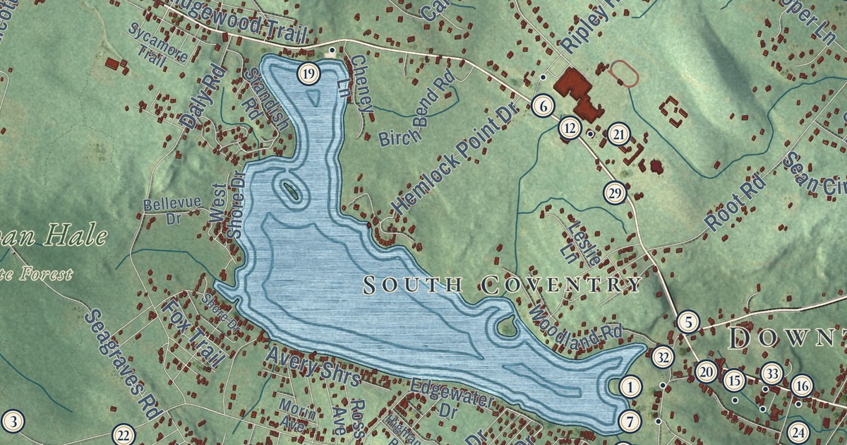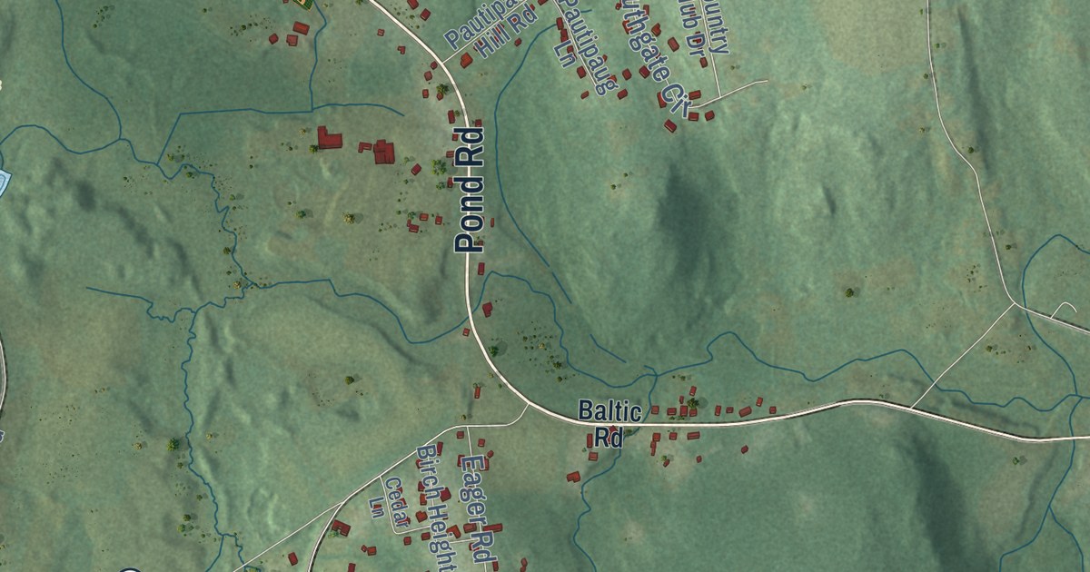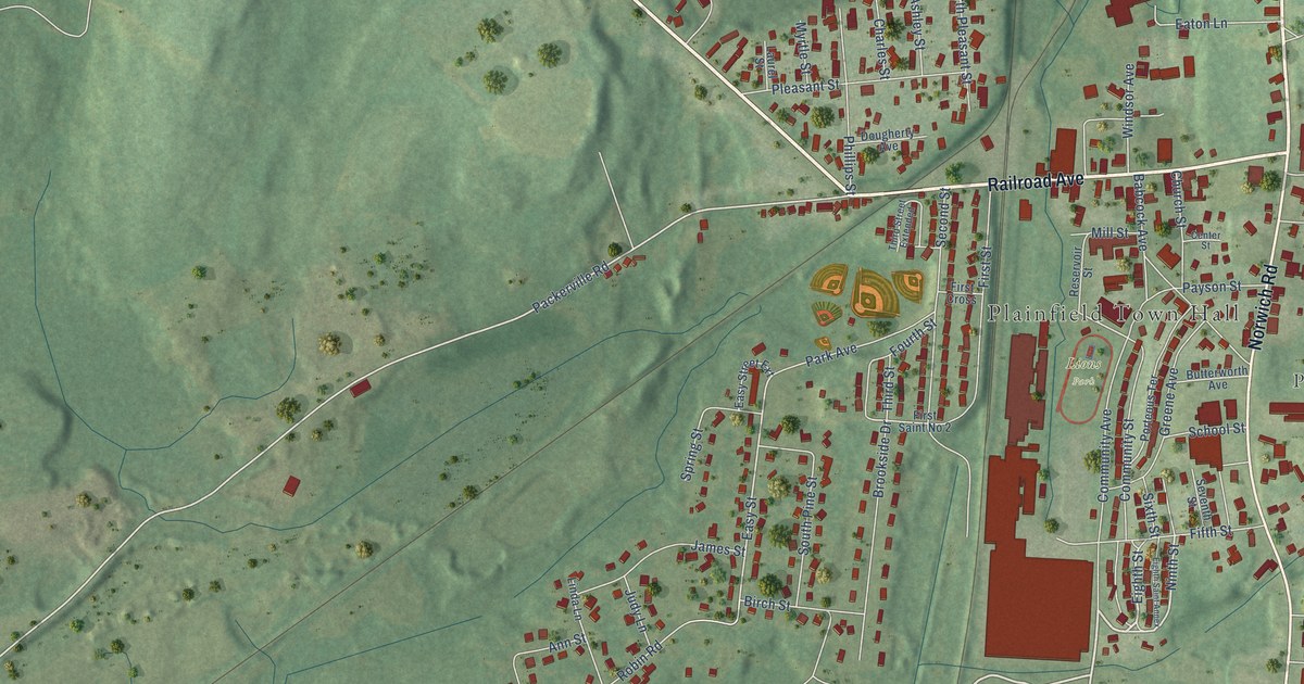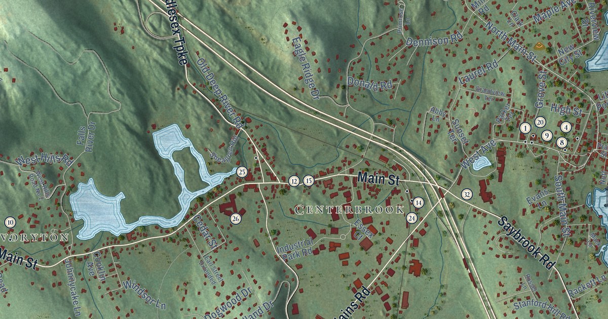
This beautifully detailed map of Essex, Connecticut was created in 2026 using aerial imagery combined with modern topographical, census, street and landmark data. It’s a one-of-a-kind view of Essex that combines accurate data with a vintage aesthetic. The map shows every building in its true location, many of the roads carry their names, and the shaded topographic relief shows the shape of the land.
See it on a wall
The Essex map as an 18 x 24 inch print in a black frame.

Explore an aerial view of Essex, Connecticut
On the map you’ll find Downtown, Ivoryton, Centerbrook, Book Hill, Brockway Island, Bushy Hill, Birch Millpond, Bushy Hill Pond, and Platt Preserve, along with Plains Road, North Main Street, Middlesex Turnpike, and more. If you look closely you can even find your house accurately drawn in its correct location. Zoom in on the preview to look for yours. Click here to learn more about the history of Essex.
Take a closer look at the Essex map
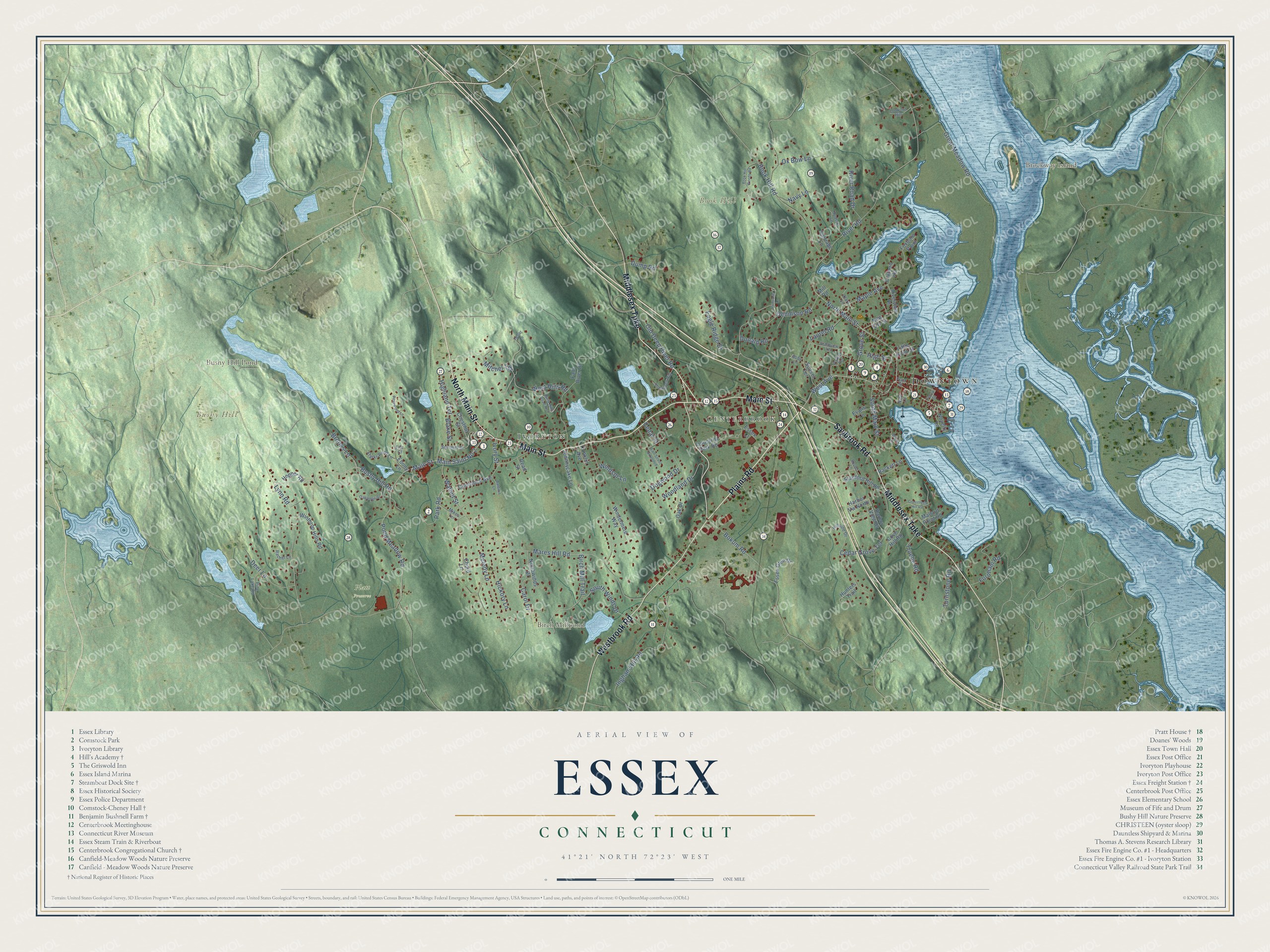
Click to explore a larger preview. The digital watermark does not appear on printed maps.
Names on this map
These names are printed on this map.
Places: Downtown, Ivoryton, Centerbrook, Book Hill, Brockway Island, Bushy Hill, Birch Millpond, Bushy Hill Pond and Platt Preserve.
Streets and roads: Plains Road, North Main Street, Middlesex Turnpike, Westbrook Road, Main Street, Saybrook Road, Bushy Hill Road, Pond Meadow Road, West Avenue, Mares Hill Road, River Road, Dennison Road.
More street names, A to Z
Abby Lane, Baldwin Lane, Birch Mill Trail, Blake Street, Bokum Road, Book Hill Road, Book Hill Woods Road, Brooks Lane, Carol Drive, Carriage Lane, Cedar Grove Terrace, Cedar Street, Chestnut Street, Chord Lane, Clark Lane, Clarks Pond Lane, Comstock Avenue, Conklin Avenue, Cove Hill Road, Crosstrees Hill Road, Deer Lane, Dogwood Drive, Donald Road, Dump Road, Eagle Ridge Drive, Earl Street Extended, Ebony Lane, Essex Court, Essex Glen Drive, Evans Lane, Falls River Drive, Ferry Street, Fife Court, Fordham Road, Foster Lane, Foxboro Point, Foxboro Road, Grandview Terrace, Great Meadow Road, Grove Street, Harbor View Drive, Harbor Vw North, Hickory Lane, Highland Terrace, High Street, Hillside Drive, Hopper Road, Hudson Lane, Hunters Trail, Industrial Park Road, Ingham Hill Road, Ivory Street, Johnnycake Lane, Laurel Road, Little Point Street, Lookout Hill, Lynn Road, Mack Lane, Main Saint No 2, Mallard Point Road, Maple Avenue, Melody Lane, Mikes Terrace, Mill Road, Mitchel Terrace, Navy Lane, New City Street, Northwinds Drive, Nott Lane, Novelty Lane, Oak Drive, Oakledge Drive, Old Deep River Road, Ox Bow Lane, Parker Terrace, Park Road, Pine Lake Road, Pratt Street, Primrose Lane, Rachel Lane, Rackett Lane, Read Street, River Road Drive, Riverview Street, Rosewood Lane, Russet Lane, Sheagren Hill, South Main Street, South Winds Drive, Stanford Hill Road, Summitt Street, Sunset Terrace, Truebe Road, Turnstone Road, Walnut Street, West Hills Road, West Hills Road No 2, Windermere Way, Windsor Lane, Winthrop Hills Road, Woodland Drive.
This beautifully detailed map of Essex makes an attractive addition to your office, library, or den, and it can even be used to teach children the geography and history of the area. It also makes a great gift for anyone with Essex roots. When you’re done exploring, click here to get your copy of the Essex map.