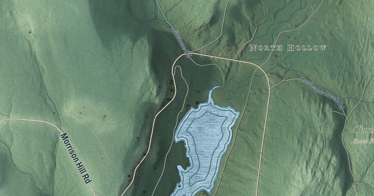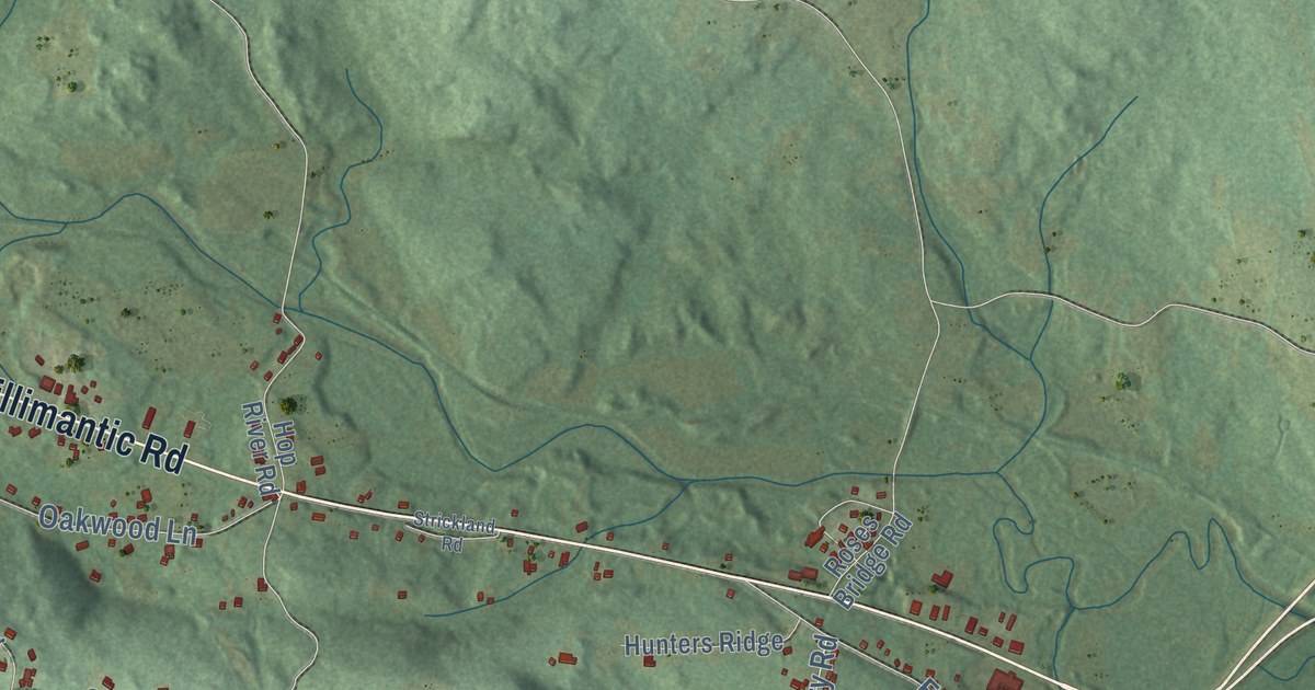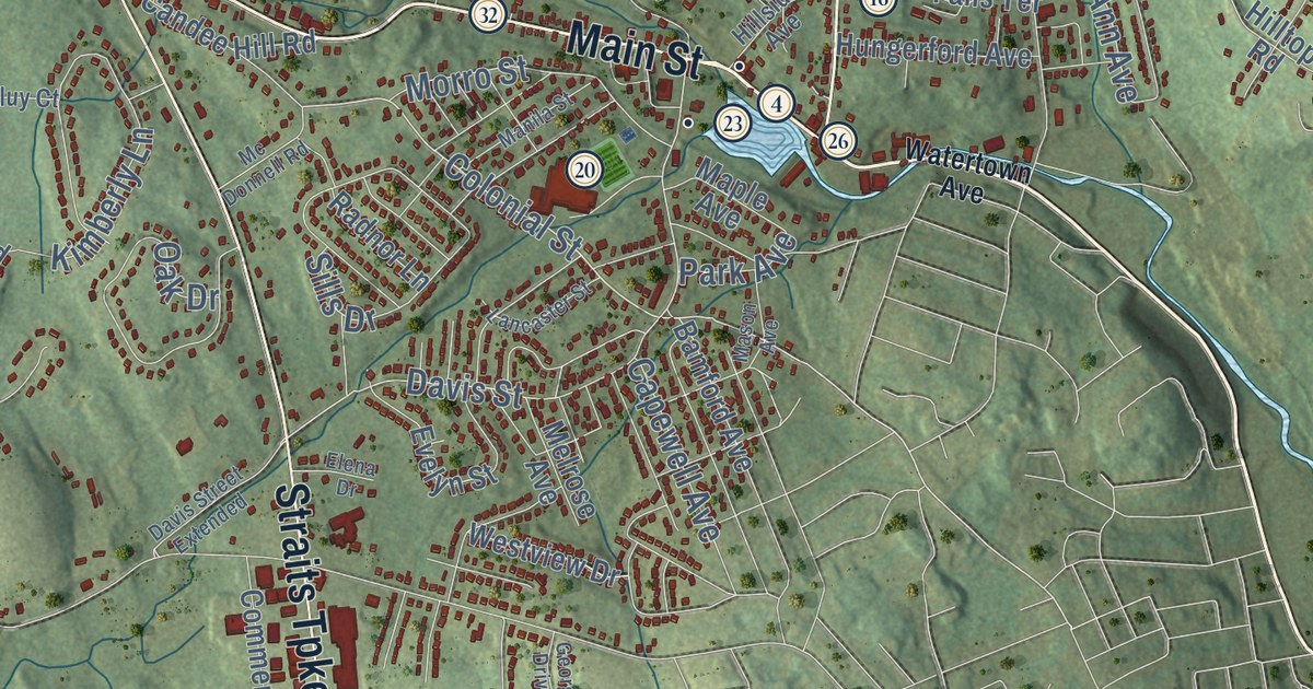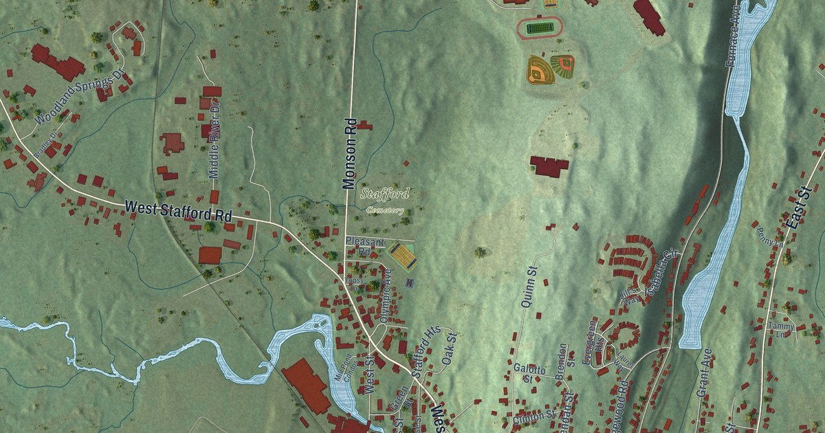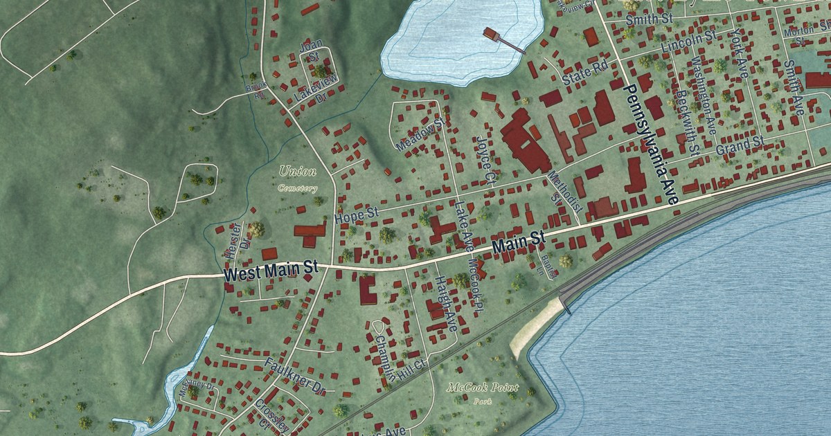
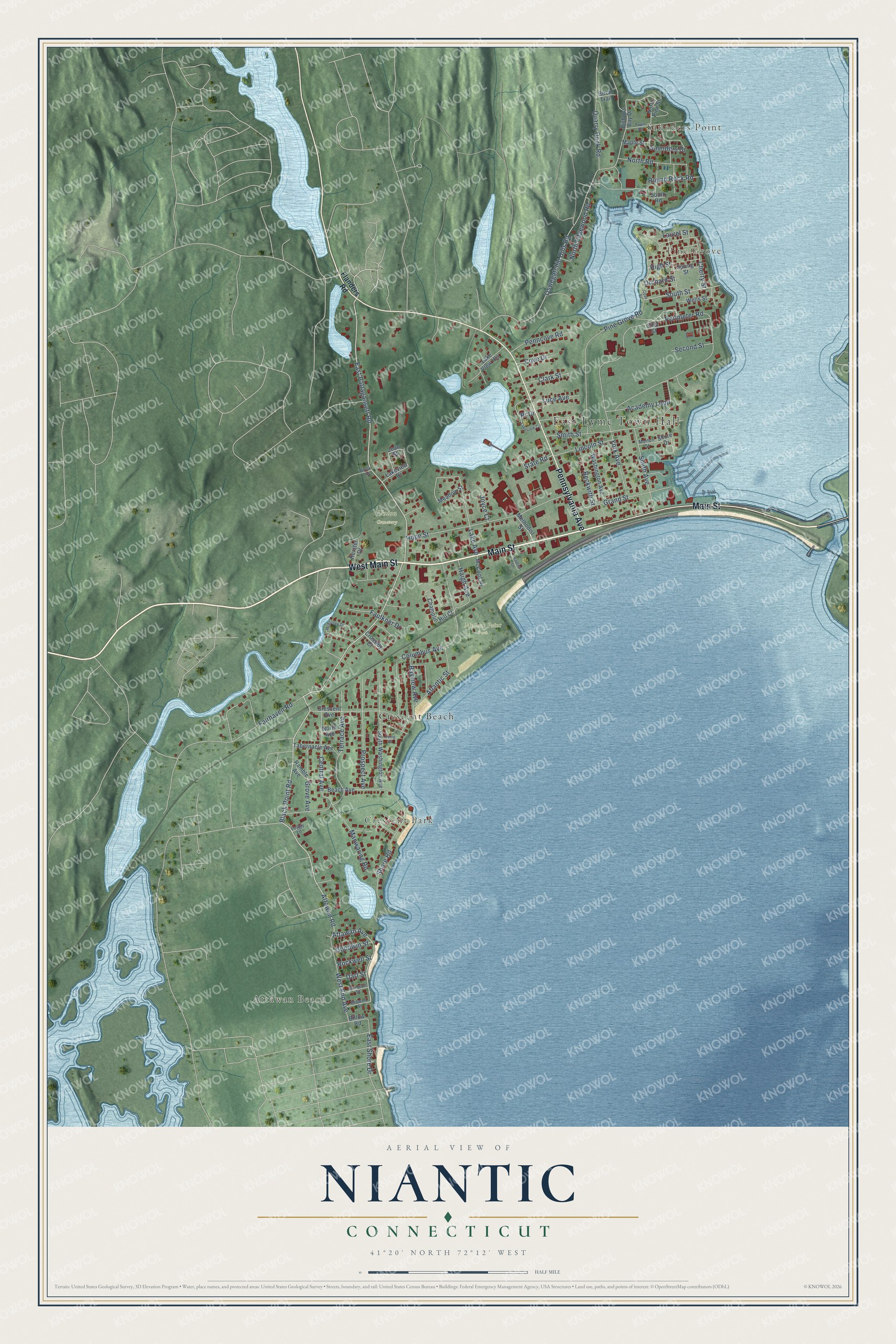
This beautifully detailed map of Niantic, Connecticut was created in 2026 using aerial imagery combined with modern topographical, census, street and landmark data. It's a modern aerial view of Niantic in Southeastern Connecticut Planning Region, Connecticut, that combines modern data with a vintage aesthetic. The roads feature printed names, and if you look closely you can find your exact house accurately shown in its correct location.
Explore an aerial view of Niantic, Connecticut
On this map you'll find East Lyme Town Hall, Saunders Point, Attawan Beach, Pine Grove, Crescent Park, McCook Point Park, Union Cemetery, Crescent Beach, Main Street, West Main Street, Pennsylvania Avenue, Black Point Road, and more. Each red shape is a building, so zoom in on the preview and look for yours.
Niantic is a community in Southeastern Connecticut Planning Region. The Census Bureau counted 3,194 people here in 2020. Niantic sits about 4 miles southwest of Waterford, 6 miles west of New London and 7 miles west of Groton. The map prints the town name in its title panel, with the coordinates below it.
Take a closer look at the Niantic map
Names on this map
These names are printed on this map.
Places: East Lyme Town Hall, Saunders Point, Attawan Beach, Pine Grove, Crescent Park, McCook Point Park, Union Cemetery and Crescent Beach.
Streets and roads: Main Street, West Main Street, Pennsylvania Avenue, Black Point Road, East Pattagansett Road, Attawan Road, Attawan Avenue, South Street, Lake Avenue, Oswegatchie Hills Road, Perimeter Road, Columbus Avenue.
More street names, A to Z
Academy Loop, Atlantic Street, Baptist Lane, Bayview Avenue, Beach Avenue, Beckwith Street, Bidwell Street, Billow Road, Birch Trail, Bishops Bay Drive, Bronson Street, Brook Road, Central Avenue, Champlin Hill Court, Cherry Street, Clark Street, Cove Drive, Cove Street, Crescent Avenue, Crossley Court, Dart Street, East Shore Drive, Fairhaven Road, Faulkner Drive, First Street, Flanders Road, Goodwin Street, Grand Street, Grove Avenue, Haigh Avenue, Herster Drive, High Street, Hope Street, Irving Place, Joan Street, Joyce Court, Lakeview Circle, Lakeview Drive, Lake View Heights, Laurel Street, Lincoln Street, Luce Avenue, Manwaring Road, Maple Street, McCook Place, McElaney Drive, Meadow Street, Methodist Street, Morton Street, North Avenue, North Edgewood Road, North Pine Street, North Road, Orchard Street, Peggy Lane, Penncove Road, Pine Grove Road, Pr Drive, Prospect Avenue, Quarry Dock Road, Ramble Avenue, Rockwell Street, Round Rock Road, Saunders Drive, Second Street, Shore Drive, Shore Road, Smith Avenue, Smith Street, South Road, South Washington Avenue, Spring Street, State Road, Tabernacle Avenue, Terrace Avenue, Town Road, Washington Avenue, Wells Street, West End Avenue, York Avenue.
See it on a wall
The Niantic map as a framed print. Swipe for more.


Created by KNOWOL in 2026. The buildings are small red shapes, the roads carry their printed names, and shaded relief shows the shape of the land. The title panel reads "AERIAL VIEW OF NIANTIC, CONNECTICUT" with 41°20' NORTH 72°12' WEST.
Hang it in the hallway, the office or the cabin, or give it to someone who left Niantic and still calls it home. Open the preview and look for a street you know. See sizes and frames for the Niantic map.