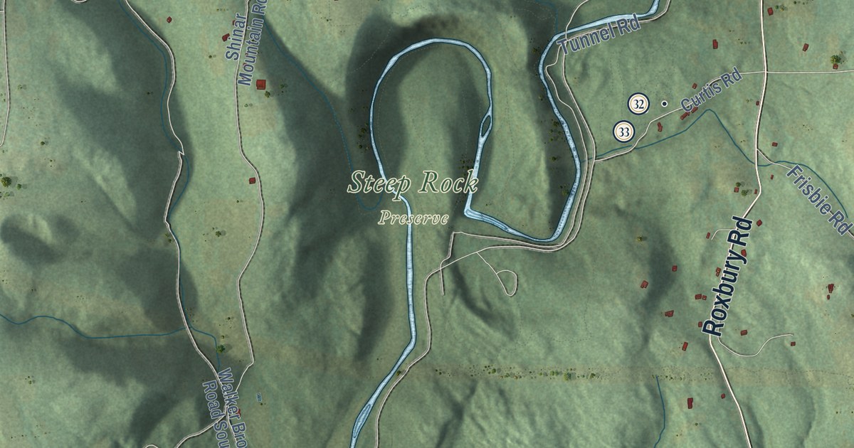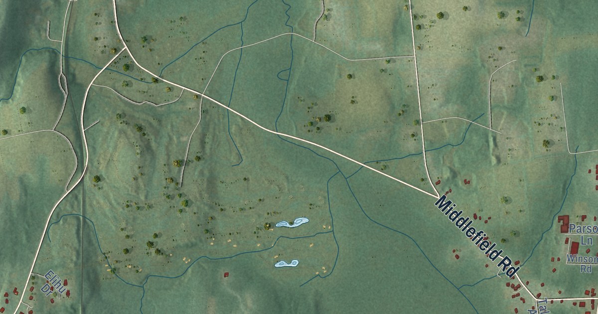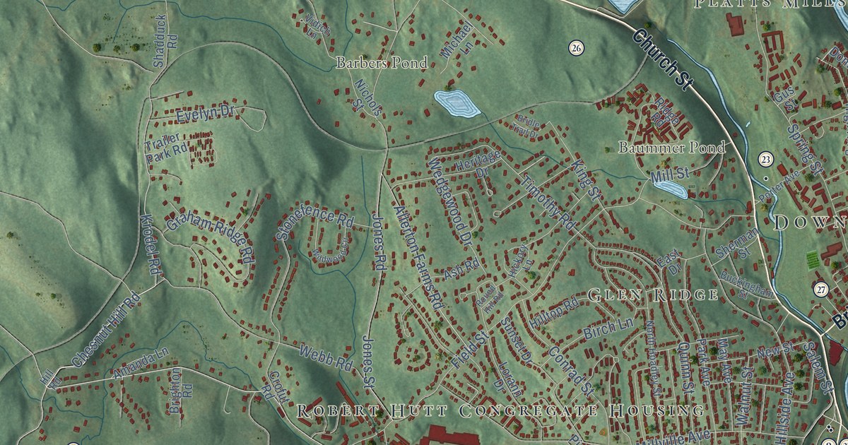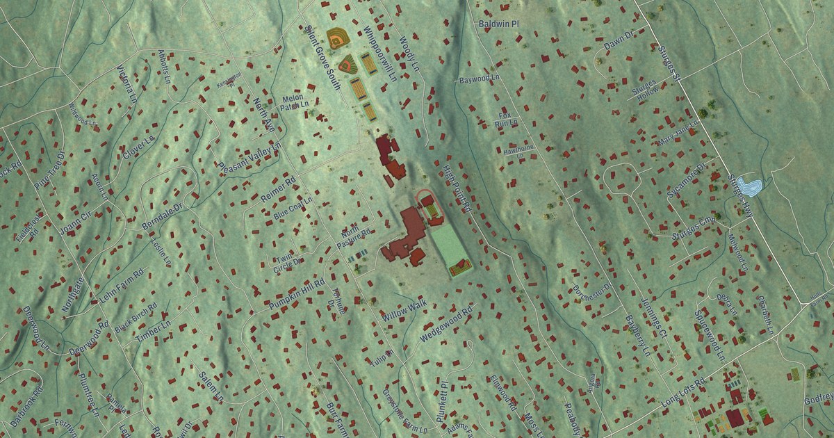
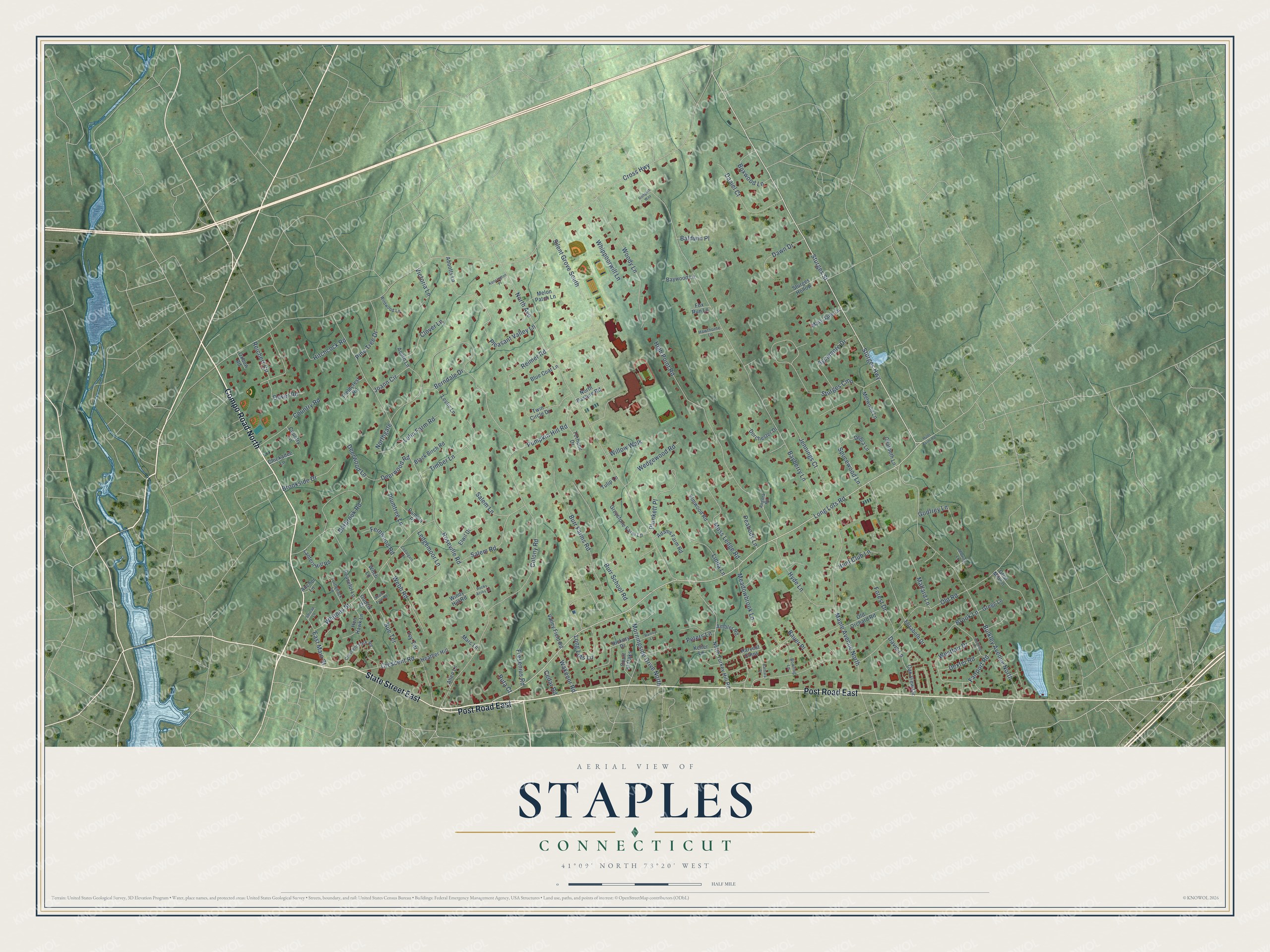
This beautifully detailed map of Staples, Connecticut was created in 2026 using aerial imagery combined with modern topographical, census, street and landmark data. It's a modern aerial view of Staples in Western Connecticut Planning Region, Connecticut, that combines modern data with a vintage aesthetic. The roads feature printed names, and if you look closely you can find your exact house accurately shown in its correct location.
Explore an aerial view of Staples, Connecticut
On this map you'll find State Street East, Compo Road North, Post Road East, Long Lots Road, Sturges Highway, Cross Highway, Roseville Road, Bayberry Lane, North Avenue, Old Road, Bulkley Avenue North, High Point Road, and more. Each red shape is a building, so zoom in on the preview and look for yours.
Staples is a community in Western Connecticut Planning Region. The Census Bureau counted 6,954 people here in 2020. Staples sits about 2 miles southeast of Coleytown, 2 miles northeast of Westport Village and 2 miles north of Greens Farms. The map prints the town name in its title panel, with the coordinates below it.
Take a closer look at the Staples map
Names on this map
These names are printed on this map.
Streets and roads: State Street East, Compo Road North, Post Road East, Long Lots Road, Sturges Highway, Cross Highway, Roseville Road, Bayberry Lane, North Avenue, Old Road, Bulkley Avenue North, High Point Road.
More street names, A to Z
Abbotts Lane, Acorn Lane, Adams Farm Road, Allen Lane, Ambler Road, Anchor Lane, Angora Road, Baldwin Place, Barbara Place, Bauer Place, Baywood Lane, Berndale Drive, Black Birch Road, Blue Coat Lane, Bowling Lane, Boxwood Lane, Brook Lane, Brookside Drive, Burr Farms Road, Burr School Road, Cedargate Lane, Cedar Road, Charbeth Lane, Chickadee Lane, Clover Lane, Colony Road, Country Lane, Country Road, Court of Oaks, Crescent Park Road, Crescent Road, Daniel Court, Darbrook Road, Davis Lane, Dawn Drive, Debra Lane, Deerwood Lane, Deerwood Road, Dexter Road, Dorchester Drive, Dover Road, East Main Street, Elizabeth Drive, Elmwood Road, Elwil Drive, Fairport Road, Fernwood Road, Fieldcrest Road, Forest Drive, Fox Run Lane, Fresenius Road, Godfrey Lane, Gregg Lane, Greystone Farm Lane, Grist Mill Lane, Gudzik Court, Harvest Cmns, Hawthorne Lane, Heather Hill, Hen Hawk Lane, Hickory Drive, Hitchcock Road, Hulls Farm Road, Hunt Club Lane, Hunting Lane, Hyde Lane, Ivy Terrace, Jennings Court, Joann Circle, Keller Lane, Kensington Place, Lantern Hill Road, Ledgemoor Lane, Lehn Farm Road, Leslie Lane, Linda Lane, Long Lots Lane, Mallard Lane, Maple Avenue North, Marc Lane, Mary Jane Lane, Meadowbrook Lane, Melon Patch Lane, Melwood Lane, Morningside Drive North, Moss Ledge Road, Northgate, North Pasture Road, North Turkey Hill Road, Oak View Circle, Old Orchard Road, Oxbow Road, Pamela Place, Peabody Lane, Peaceful Lane, Peters Lane, Pine Tree Drive, Pleasant Valley Lane, Plumtree Lane, Plunkett Place, Pumpkin Hill Road, Rainey Lane, Reichert Circle, Reimer Road, Rocky Acres Lane, Rodgers Way, Ruta Court, Salem Lane, Salem Road, Sharp Turn Road, Silent Grove South, Smicap Lane, Spucewood Lane, Sturges Cmn, Sturges Hollow, Sturges Street, Sue Terrace, Sycamore Drive, Terhune Drive, Timber Lane, Tulip Lane, Turtleback Lane, Twin Circle Drive, Ulbrick Lane, Valley Field Road, Victoria Lane, Wakenor Road, Webb Road, Wedgewood Road, Westfair Drive, Whippoorwill Lane, Whitney Street, Wildwood Lane, Willow Walk, Windy Hill Road, Witch Lane, Woody Lane.
See it on a wall
The Staples map as a framed print. Swipe for more.


Created by KNOWOL in 2026. The buildings are small red shapes, the roads carry their printed names, and shaded relief shows the shape of the land. The title panel reads "AERIAL VIEW OF STAPLES, CONNECTICUT" with 41°09' NORTH 73°20' WEST.
It suits a den, a classroom or a front hall, and it makes a gift for anyone with Staples roots. Open the preview and find the block you know. See sizes and frames for the Staples map.