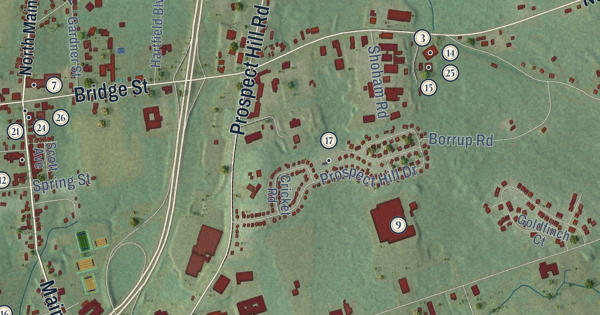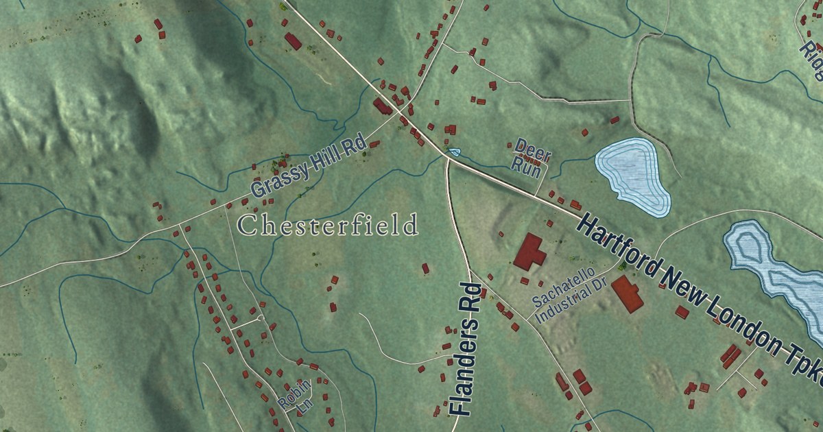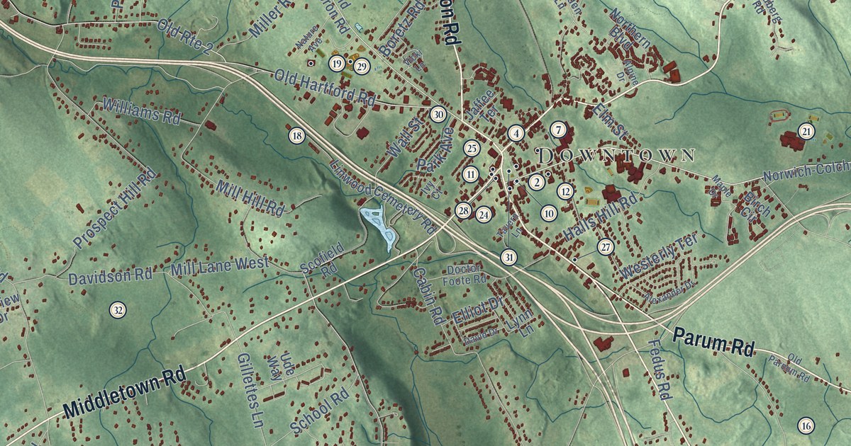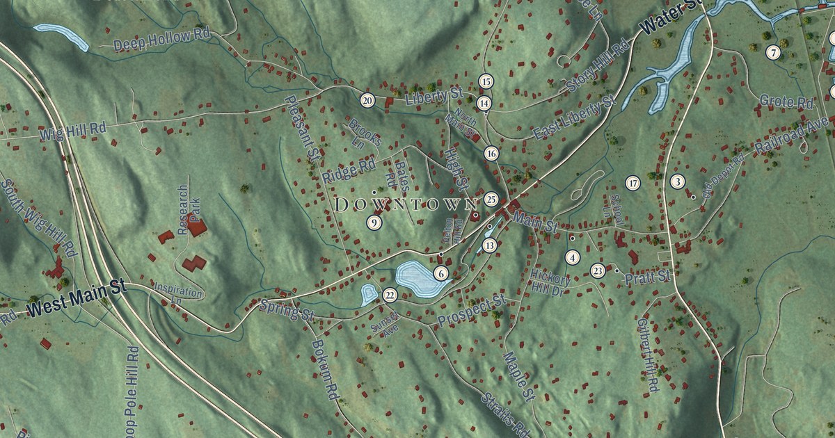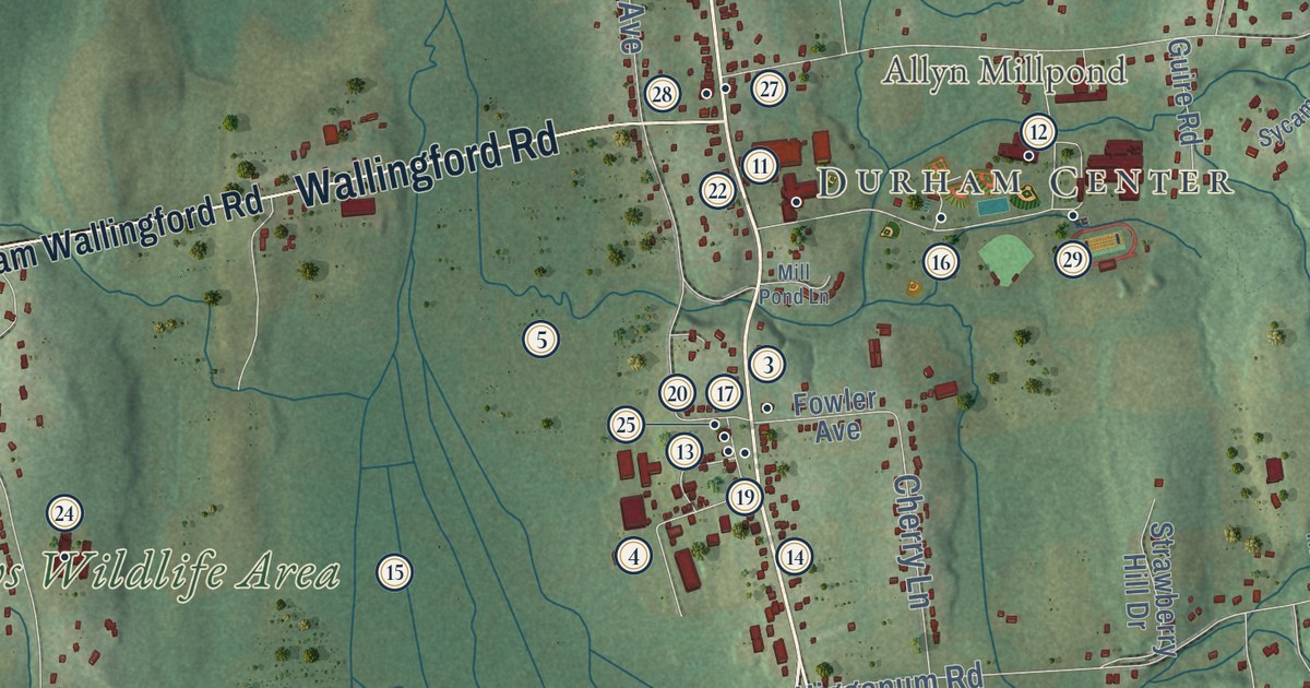
This beautifully detailed map of Durham, Connecticut was created in 2026 using aerial imagery combined with modern topographical, census, street and landmark data. It’s a one-of-a-kind view of Durham that combines accurate data with a vintage aesthetic. The map shows every building in its true location, many of the roads carry their names, and the shaded topographic relief shows the shape of the land.
See it on a wall
The Durham map as an 18 x 24 inch print in a black frame.

Explore an aerial view of Durham, Connecticut
On the map you’ll find Downtown, Durham Center, Bunker Hill, Allyn Millpond, Arrigoni Pond, Cockaponset State Forest, Durham Meadows Wildlife Area, and Friendly Acres Farm, along with Main Street, Middlefield Road, Skeet Club Road, New Haven Road, and more. If you look closely you can even find your house accurately drawn in its correct location. Zoom in on the preview to look for yours. Click here to learn more about the history of Durham.
Take a closer look at the Durham map
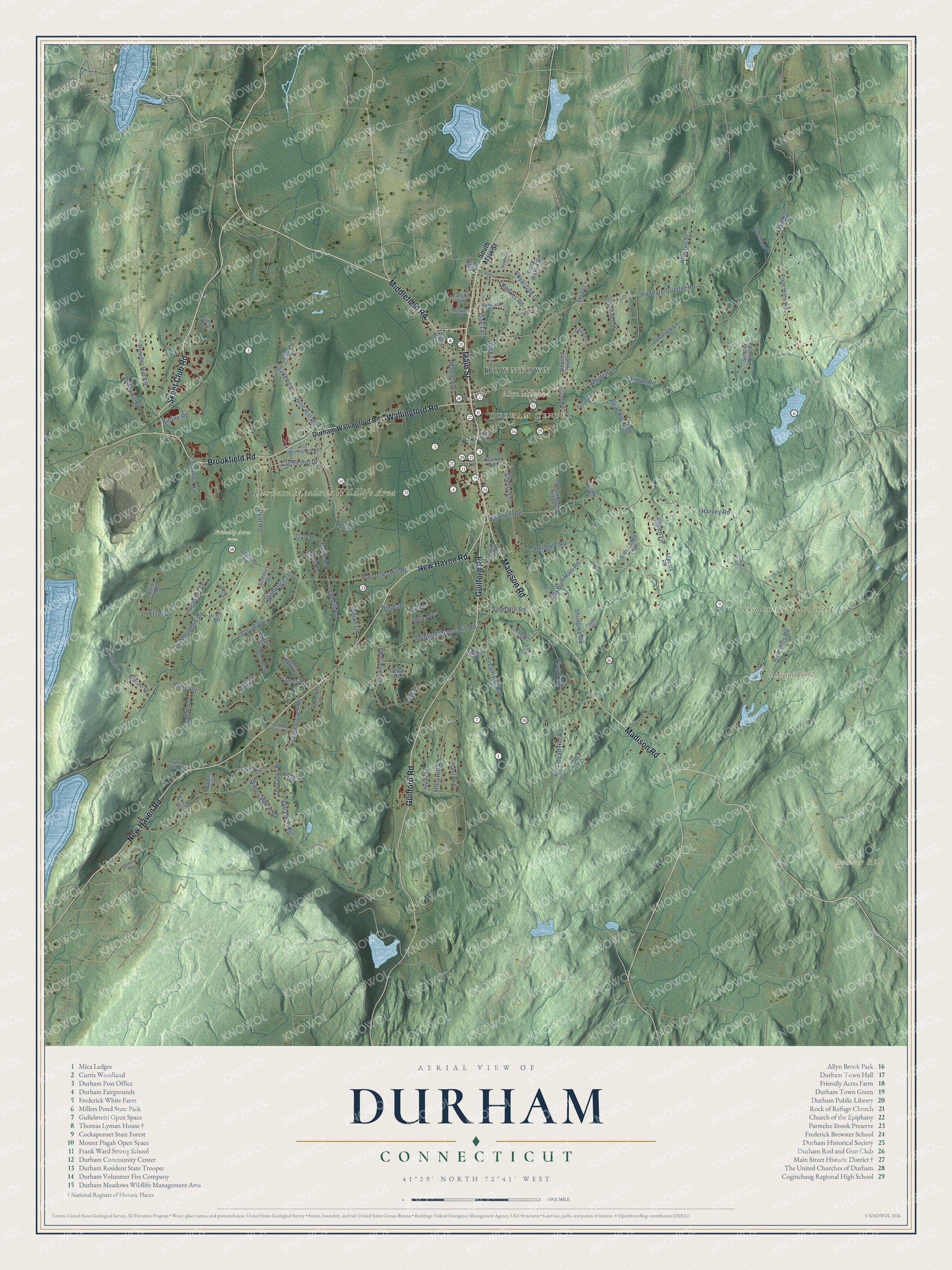
Click to explore a larger preview. The digital watermark does not appear on printed maps.
Names on this map
These names are printed on this map.
Places: Downtown, Durham Center, Bunker Hill, Allyn Millpond, Arrigoni Pond, Cockaponset State Forest, Durham Meadows Wildlife Area and Friendly Acres Farm.
Streets and roads: Main Street, Middlefield Road, Skeet Club Road, New Haven Road, Brookfield Road, Wallingford Road, Madison Road, Guilford Road, Old Blue Hills Road, Pent Road, Haddam Quarter Road, Higganum Road.
More street names, A to Z
Agerola Road, Airline Road, Anna Terrace, Arbutus Street, Auger Lane, Austin Road, Bailey Road, Banta Lane, Bear Rock Road, Black Walnut Drive, Blue Hills Road, Brick Lane, Brittany Drive, Buckboard Road, Camera Road, Canterbury Drive, Carriage Drive, Casa Lane, Catherine Drive, Cedar Drive, Cesca Lane, Chalker Road, Cherry Lane, Clark Road, Clementel Drive, Coe Road, Corn Club Road, Creamery Road, Cream Pot Road, Daisy Lane, David Road, Dawns Trail, Dead Hill Road, Deer Run, Dinatale, Dionigi Drive, Dunn Hill Road, Durham Wallingford Road, Edwards Road, Elihu Drive, Erica Court, Ernest Drive, Etzel Drive, Farnum Road, Foot Hills Road, Fowler Avenue, Fox Lane, Gina Drive, Green Lane, Guire Road, Harvey Road, Hellgate Road, Hi Lo Road, Howd Road, Indian Lane, Ironwood Lane, Ivy Way, James Road, James Road East, Johnson Lane, Laurelbrook Road, Little Lane, Maiden Lane, Maple Avenue, Mauro Drive, Meadow Lane, Meeting House Hill Road, Mica Hill Road, Millbrook Road, Mill Pond Lane, Mountain Road, Oak Terrace, Old Farm Road, Old Farms Road, Old Wallingford Road, Park Place, Parmelee Hill Road, Parson Lane, Partridge Lane, Patterson Lane, Pine Ledge Trail, Pisgah Road, Pleasant Terrace, Poole Road, Powder Hill Road, Royal Oak Drive, Salted Lane, Sand Hill Road, Saw Mill Road, School House Lane, Seward Road, Shunpike Road, Side Hill Drive, South End Avenue, South Main Street, Stage Coach Road, Stonebridge Drive, Strawberry Hill Drive, Summit Drive, Sumner Wood Road, Sycamore Drive, Talcott Avenue, Trevor Lane, Tri Mountain Road, Trinity Hill Drive, Trout Lily Drive, Turkey Hill Road, Tuttle Road, Wagon Wheel Road, Wheeler Hill Drive, Wildwood Lane, Winsome Road, Woodland Drive.
This beautifully detailed map of Durham makes an attractive addition to your office, library, or den, and it can even be used to teach children the geography and history of the area. It also makes a great gift for anyone who grew up in Durham or moved away. When you’re done exploring, click here to get your copy of the Durham map.