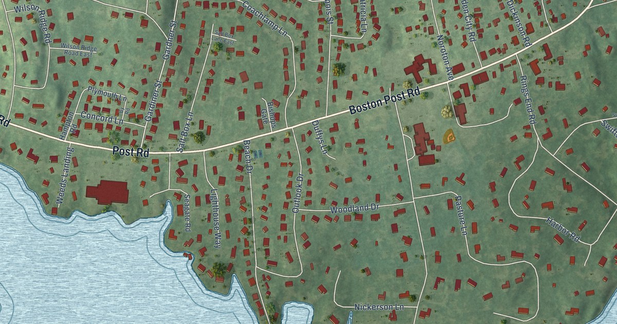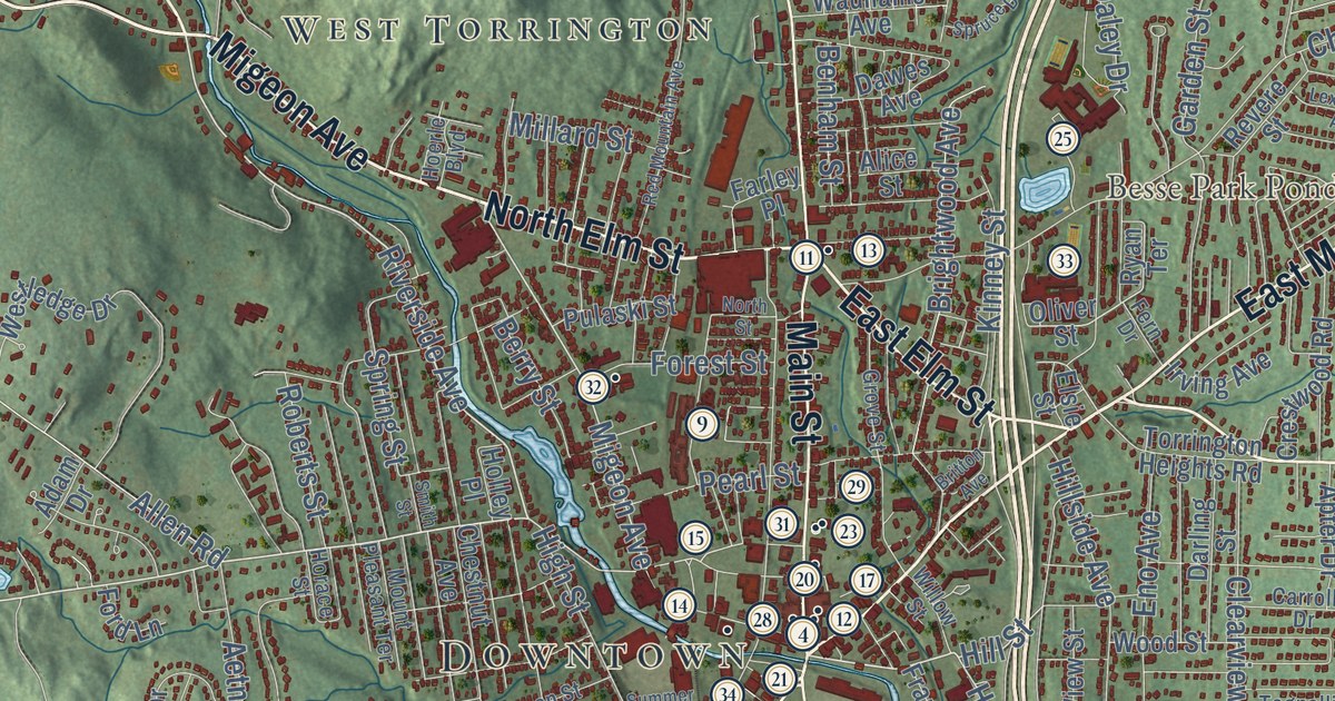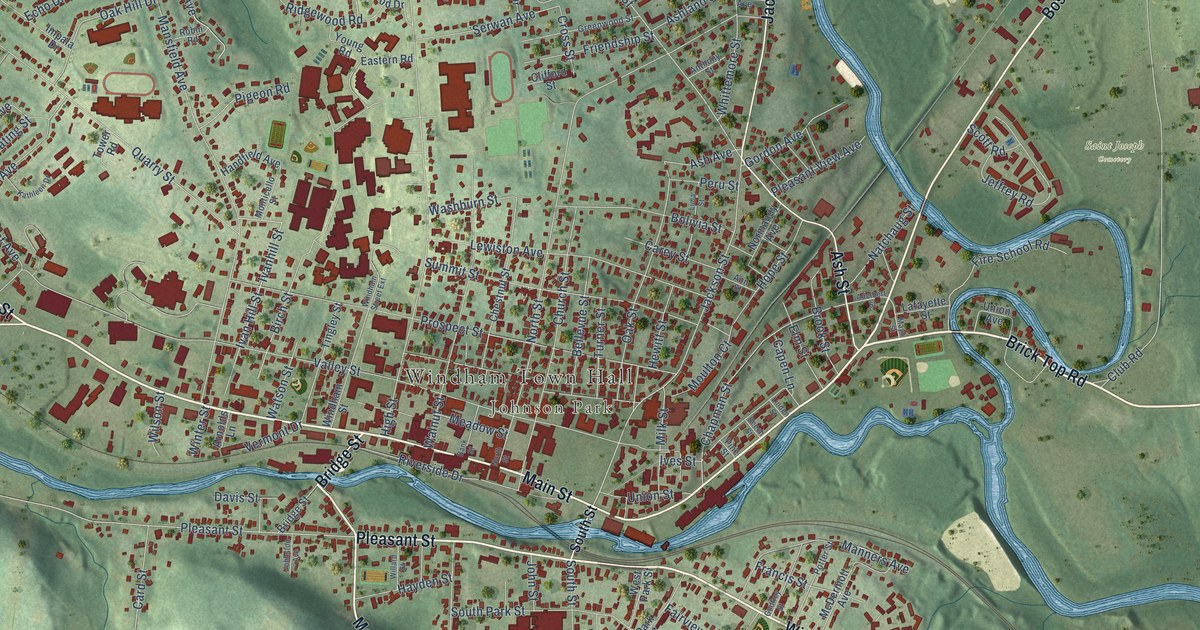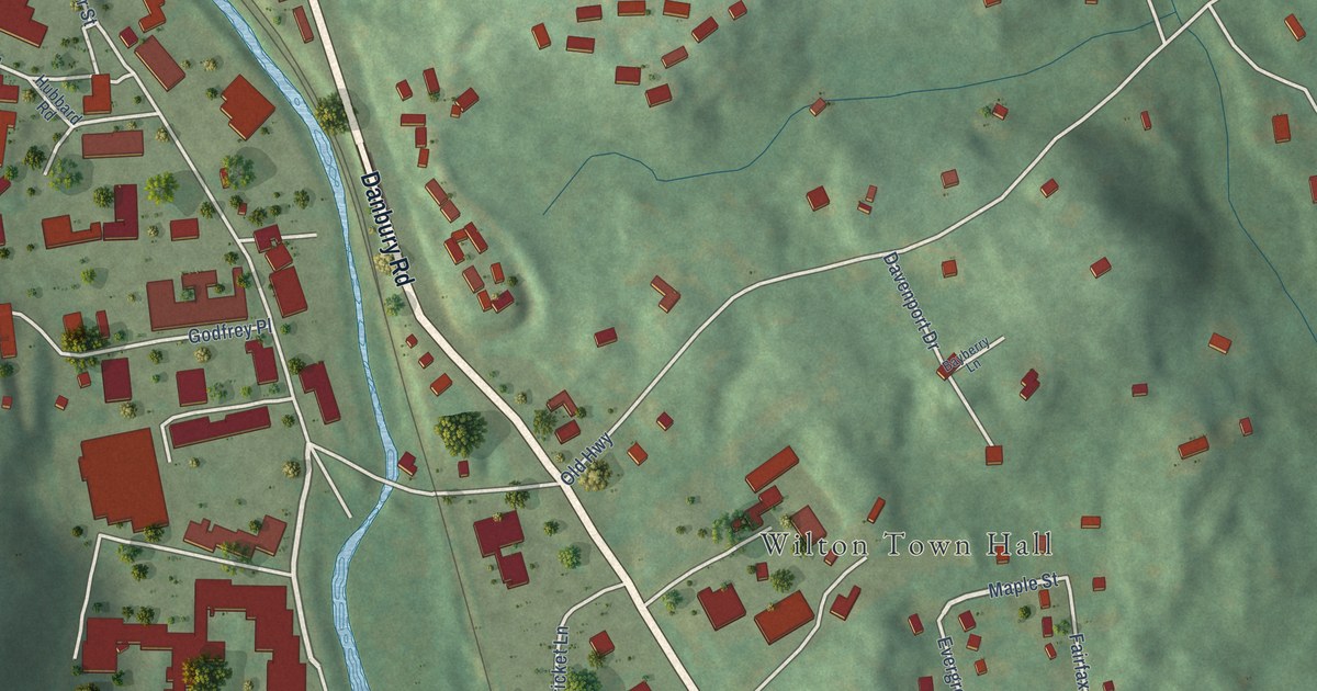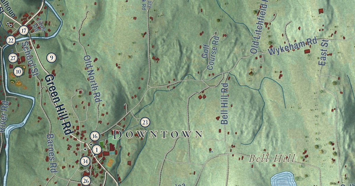
This beautifully detailed map of Washington, Connecticut was created in 2026 using aerial imagery combined with modern topographical, census, street and landmark data. It’s a one-of-a-kind view of Washington that combines accurate data with a vintage aesthetic. The map shows every building in its true location, many of the roads carry their names, and the shaded topographic relief shows the shape of the land.
See it on a wall
The Washington map as an 18 x 24 inch print in a black frame.

Explore an aerial view of Washington, Connecticut
On the map you’ll find Downtown, Woodville, Marble Dale, Horse Heaven, New Preston, Arrow Point, Baldwin Hill, Bell Hill, Bates Pond, Emmons Pond, Hidden Valley Preserve, Macricostas Preserve, and more. If you look closely you can even find your house accurately drawn in its correct location. Zoom in on the preview to look for yours. Click here to learn more about the history of Washington.
Take a closer look at the Washington map
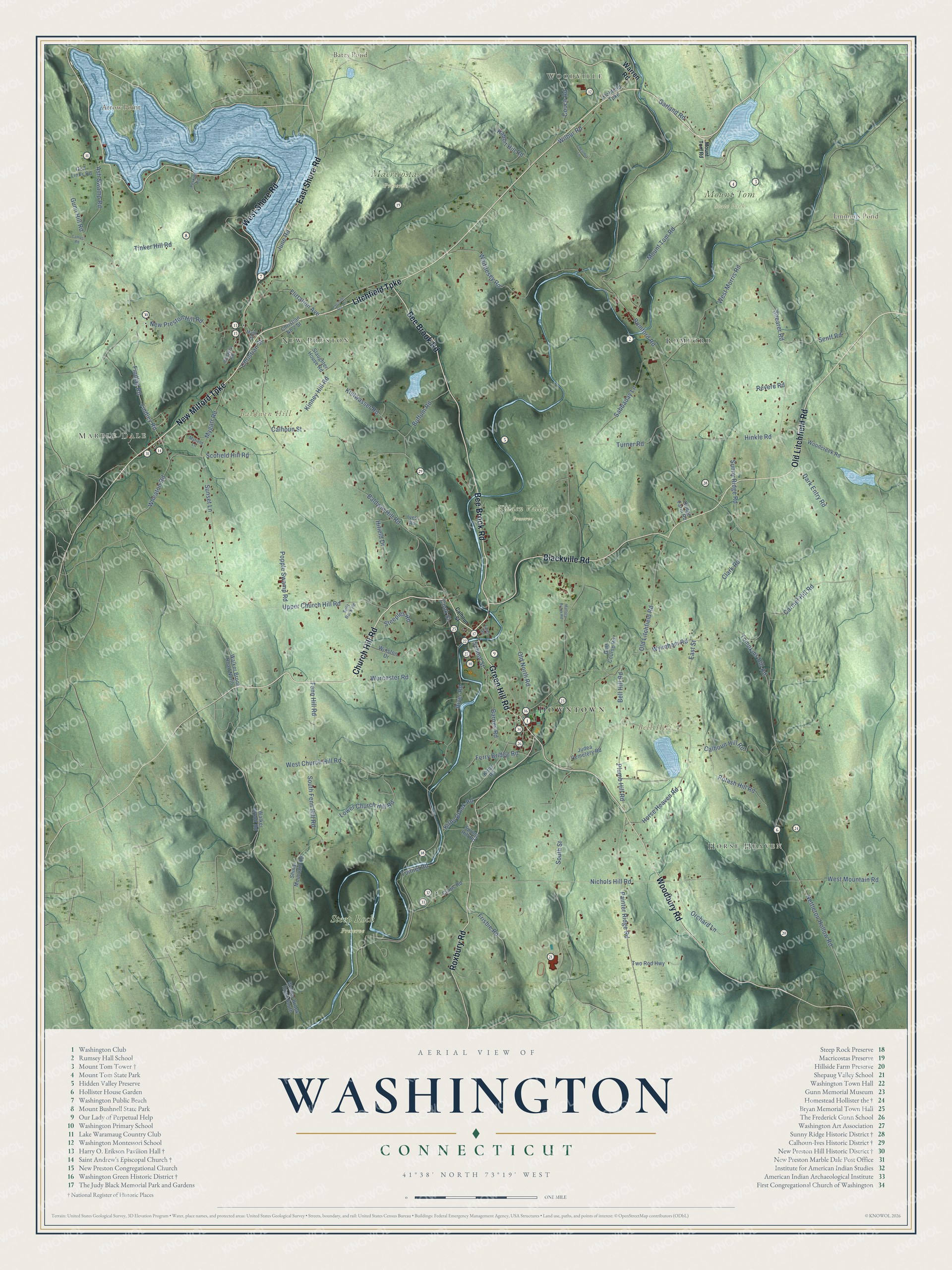
Click to explore a larger preview. The digital watermark does not appear on printed maps.
Names on this map
These names are printed on this map.
Places: Downtown, Woodville, Marble Dale, Horse Heaven, New Preston, Arrow Point, Baldwin Hill, Bell Hill, Bates Pond, Emmons Pond, Hidden Valley Preserve, Macricostas Preserve, Mount Tom State Park, Steep Rock Preserve and Romford.
Streets and roads: Litchfield Turnpike, Bee Brook Road, New Milford Turnpike, Church Hill Road, Green Hill Road, Old Litchfield Road, Woodbury Road, Roxbury Road, West Shore Road, Blackville Road, East Shore Road, Calhoun Street.
More street names, A to Z
Ash Swamp Road, Baldwin Hill Road, Barnes Road, Bell Hill Road, Buffum Road, Calhoun Hill Road, Camps Road, Carmel Hill Road, Chestnut Lane, Christian No 2 Street, Christian No 3 Street, Christian Street, Clark Road, Cook Street, Couch Road, Curtis Road, Dark Entry Road, Dodge Farm Road, East Street, Fenn Hill Road, Ferry Bridge Road, Findlay Road, Findley Road, Flirtation Avenue, Frisbie Road, Garland Road, Golf Course Road, Golf Links Road, Gunn Hill Road, Hifield Drive, Hinckley Road, Hinkle Road, Horse Heaven Road, Ives Road, Judea Cemetery Road, June Road, Kielwasser Road, Kinney Hill Road, Kirby Brook Road, Kirby Road, Lower Church Hill Road, Main Street, Mallory Brook Road, Mount Tom Road, Myfield Lane, Mygatt Road, Nettleton Hollow Road, New Preston Hill Road, Nichols Hill Road, Old North Road, Orchard Lane, Painter Ridge Road, Perkins Road, Plumb Hill Road, Popple Swamp Road, Potash Hill Road, Rabbit Hill Road, Revere Road, River Road, Romford Road, Sabbaday Lane, School Street, Scofield Hill Road, Senff Road, Shearer Road, Shinar Mountain Road, Slaughter House Road, South Fenn Hill Road, South Street, Split Rock Road, Spring Hill Road, Steeples Road, Sunny Ridge Road, Sunset Lane, Tinker Hill Road, Titus Road, Tompkins Hill Road, Tunnel Road, Turner Road, Two Rod Highway, Upper Church Hill Road, Walker Brook Road, Walker Brook Road North, Walker Brook Road South, Warren Road, West Church Hill Road, West Morris Road, West Mountain Road, Wheaton Road, Whittlesey Road, Wilbur Road, Winston Drive, Woodcreek Road, Worcester Road, Wykeham Road.
This beautifully detailed map of Washington makes an attractive addition to your office, library, or den, and it can even be used to teach children the geography and history of the area. It also makes a great gift for anyone who grew up in Washington or moved away. When you’re done exploring, click here to get your copy of the Washington map.