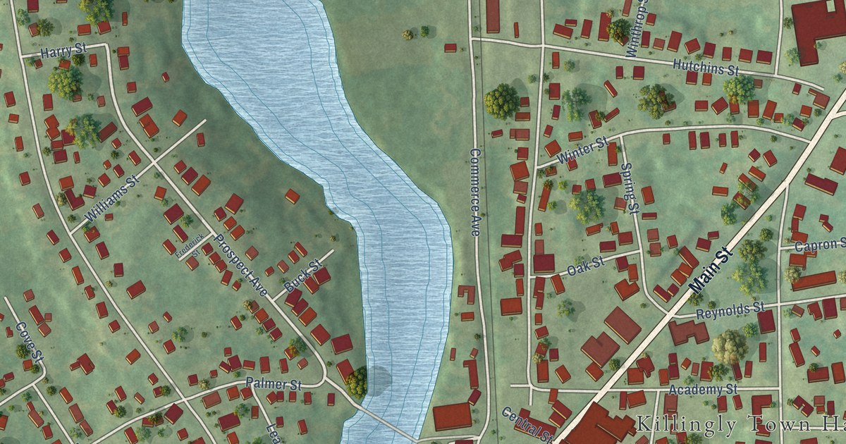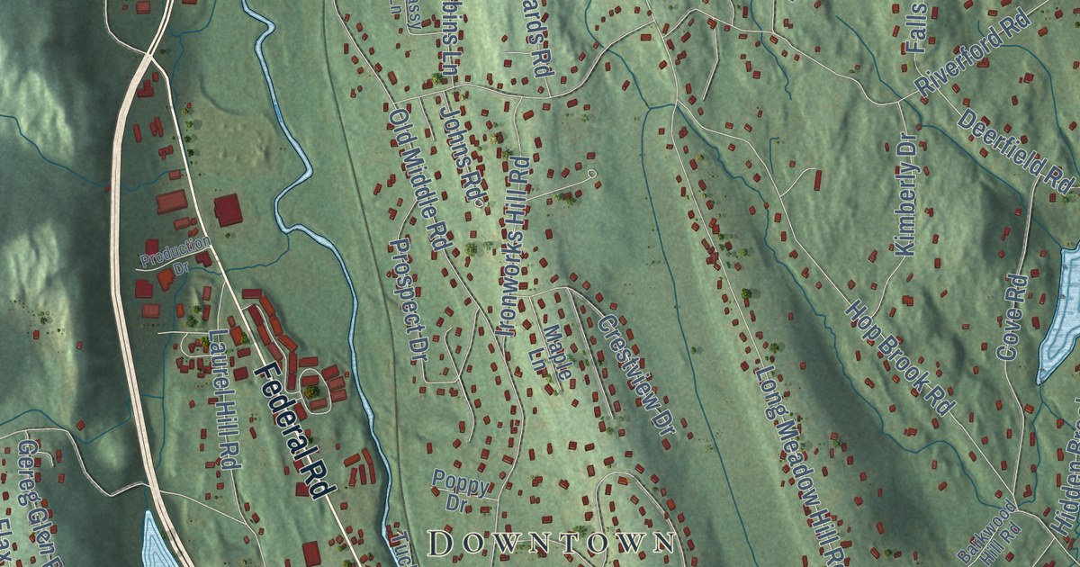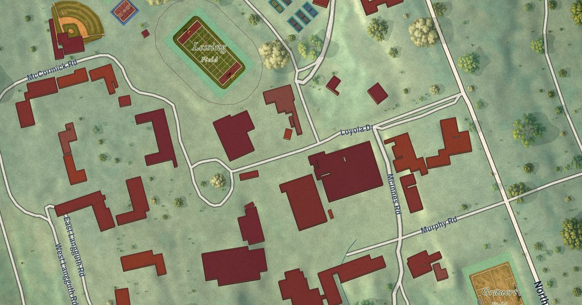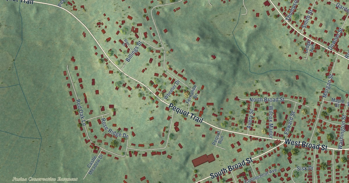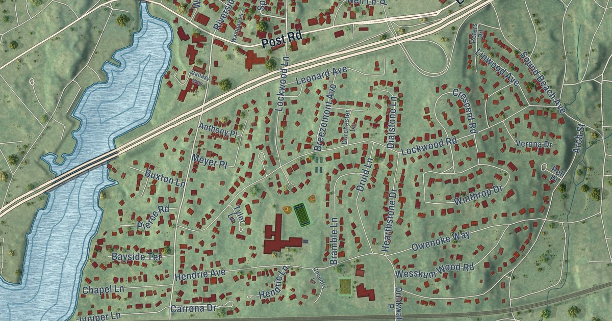
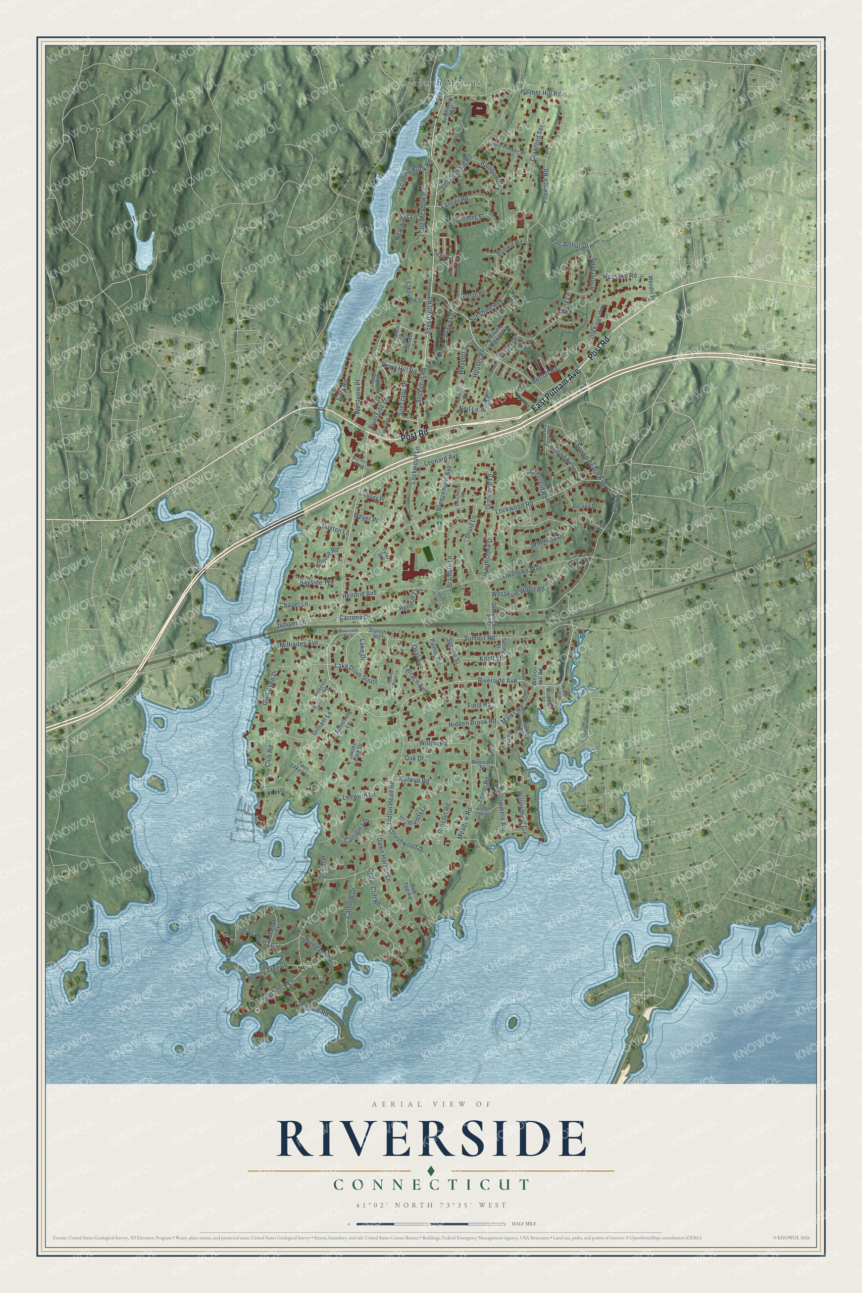
This beautifully detailed map of Riverside, Connecticut was created in 2026 using aerial imagery combined with modern topographical, census, street and landmark data. It's a modern aerial view of Riverside in Western Connecticut Planning Region, Connecticut, that combines modern data with a vintage aesthetic. The roads feature printed names, and if you look closely you can find your exact house accurately shown in its correct location.
Explore an aerial view of Riverside, Connecticut
On this map you'll find North Mianus, East Putnam Avenue, Post Road, Riverside Avenue, Sheephill Road, Sheep Hill Road, Riverside Lane, Lake Drive, Spezzano Drive, Marks Road, Hoover Road, Willowmere Avenue, and more. Each red shape is a building, so zoom in on the preview and look for yours.
Riverside is a community in Western Connecticut Planning Region. The Census Bureau counted 8,843 people here in 2020. Riverside sits about 2 miles east of Greenwich, 3 miles east of Rock Ridge and 4 miles east of Pemberwick. The map prints the town name in its title panel, with the coordinates below it.
Take a closer look at the Riverside map
Names on this map
These names are printed on this map.
Places: North Mianus and Riverside Park.
Streets and roads: East Putnam Avenue, Post Road, Riverside Avenue, Sheephill Road, Sheep Hill Road, Riverside Lane, Lake Drive, Spezzano Drive, Marks Road, Hoover Road, Willowmere Avenue, Winthrop Drive.
More street names, A to Z
Amherst Road, Anthony Place, Arch Street, Armstrong Lane, Bayside Terrace, Bertolf Road, Birdsong Place, Bonan Drive, Bonwit Road, Bramble Lane, Breezemont Avenue, Buxton Lane, Carriglea Drive, Carrona Drive, Cary Road, Cathlow Drive, Cedar Cliff Road, Chapel Lane, Cherry Tree Lane, Club Road, Coventry Lane, Crawford Terrace, Crescent Road, Dawn Harbor Lane, Dialstone Lane, Dorchester Lane, Drinkwater Place, Druid Lane, Elizabeth Lane, Field Road, Florence Road, Gilliam Lane, Glen Avon Drive, Griffith Road, Grosset Road, Hassake Road, Hearthstone Drive, Hendrie Avenue, Hendrie Lane, Hidden Brook Road, Highgate Road, Hill Lane Avenue, Indian Head Road, Indian Point Lane, Jones Park Drive, Juniper Lane, Knoll Street, Lake Drive South, Lakeview Drive, Lancer Road, Leeward Lane, Leonard Avenue, Linwood Avenue, Loading Rock Road, Lockwood Lane, Lockwood Road, Long Meadow Road, Mac Arthur Drive, Maple Lane, Marlow Court, Mary Lane, Meadow Road, Meyer Place, Miltiades Avenue, Nearwater Lane, Neighborly Way, Neil Lane, Normandy Lane, Oak Drive, Old Kings Highway, Old Orchard Road, Oval Avenue, Owenoke Way, Palmer Hill Road, Palmer Lane, Palmer Terrace, Park Place, Pell Place, Perkley Lane, Perna Lane, Perry Place, Peters Road, Pierce Road, Pilot Rock Lane, Pinecrest Road, Rainbow Drive, Raphael Place, Red Top Road, Reginald Street, Seagate Road, Shaw Place, Shoalpoint Lane, Silo Circle, Silver Beech Road, Sound Beach Avenue, Split Timber Place, Spring Street, Spruce Street, Station Road, Stirrup Lane, Stoney Ridge Lane, Summit Road, Sunshine Avenue, Susan Lane, Terrace Avenue, Thorn Hill Road, Thornhill Road, Thrushwood Drive, Tower Road, Twin Lakes Lane, Tyler Lane, Verona Drive, Wallasy Way, Wampus Lane, Welwyn Road, Wendle Place, Wescott Court, Wescott Street, Wesskum Wood Road, Weston Hill Road, Westview Place, William Street, Willowmere Circle, Willow Road.
See it on a wall
The Riverside map as a framed print. Swipe for more.


Created by KNOWOL in 2026. The buildings are small red shapes, the roads carry their printed names, and shaded relief shows the shape of the land. The title panel reads "AERIAL VIEW OF RIVERSIDE, CONNECTICUT" with 41°02' NORTH 73°35' WEST.
It suits a den, a classroom or a front hall, and it makes a gift for anyone with Riverside roots. Open the preview and find the block you know. See sizes and frames for the Riverside map.