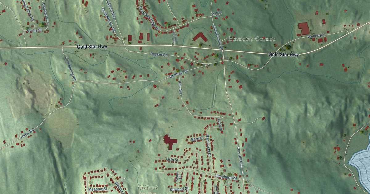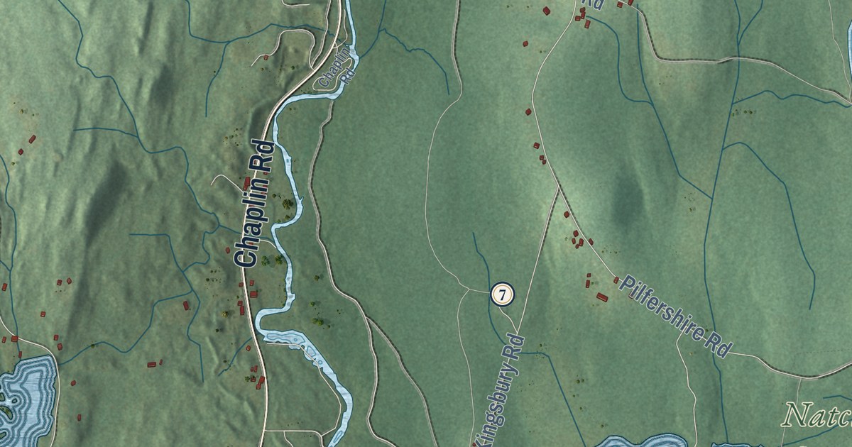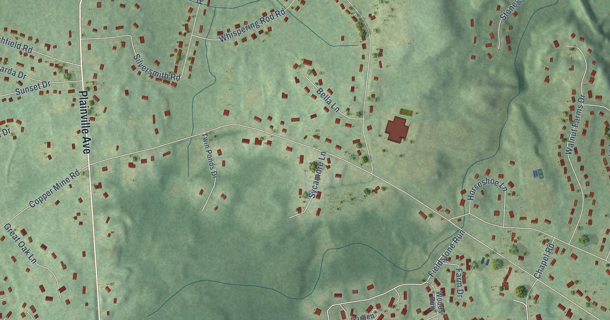
This beautifully detailed map of West District, Connecticut was created in 2026 using aerial imagery combined with modern topographical, census, street and landmark data. It’s a one-of-a-kind view of West District that combines accurate data with a vintage aesthetic. The map shows every building in its true location, many of the roads carry their names, and the shaded topographic relief shows the shape of the land.
Explore an aerial view of West District, Connecticut
On the map you’ll find Farmington Memorial Forest and Quirk Park, along with Plainville Avenue, Birch Street, Pine Drive, Green Woods Lane, Circle Drive, Pond Street, Burlington Road, Morea Road, Mohawk Drive, Copper Mine Road, and more. If you look closely you can even find your house accurately drawn in its correct location. Zoom in on the preview to look for yours.
Did You Know?
From Internet Archive: "The third, on the opposite side of the road, was established in 1804, and the one in the West District in 1813."
West District is a community in Capitol County.
Take a closer look at the West District map
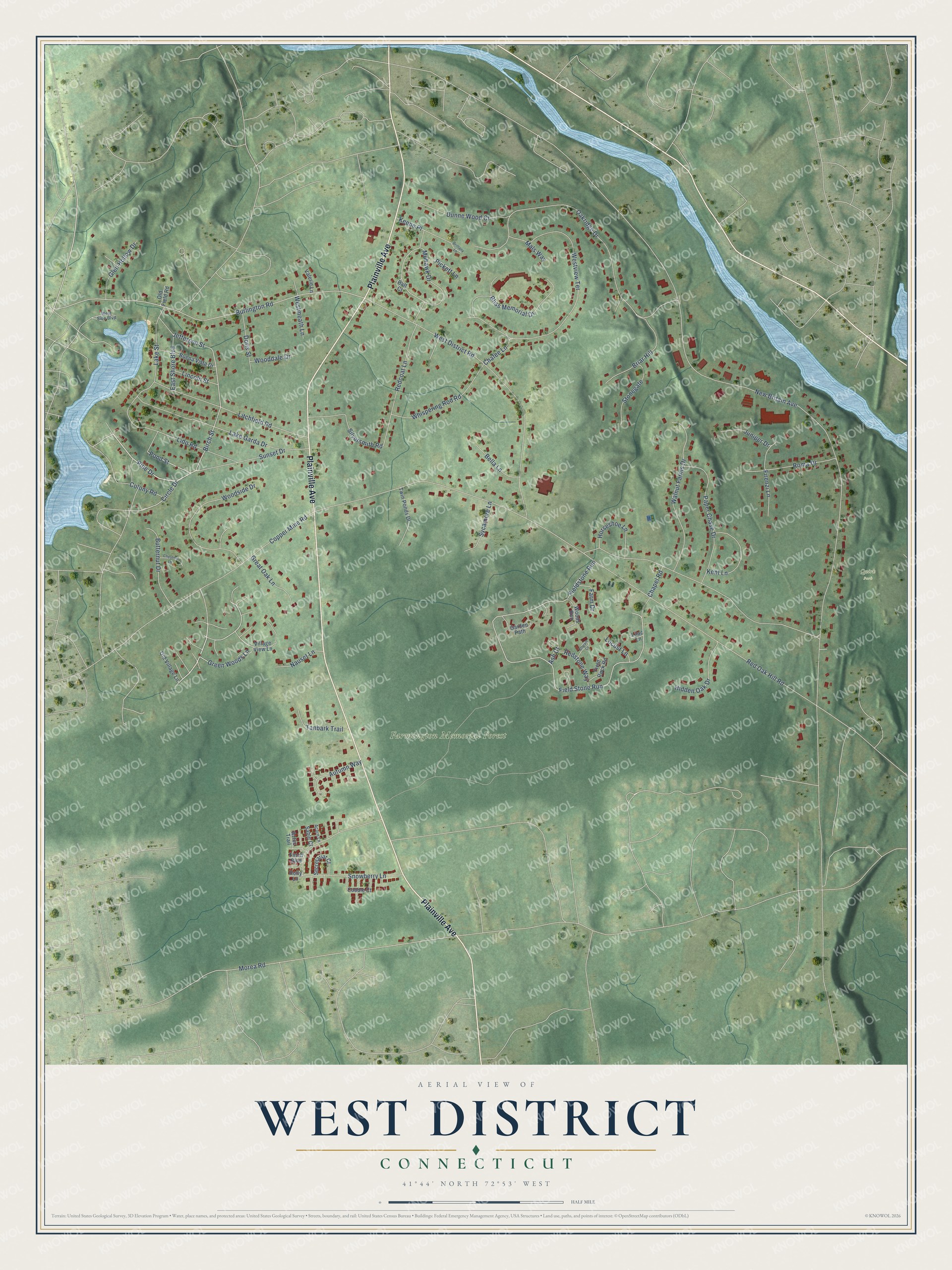
Names on this map
These names are printed on this map.
Places: Farmington Memorial Forest and Quirk Park.
Streets and roads: Plainville Avenue, Birch Street, Pine Drive, Green Woods Lane, Circle Drive, Pond Street, Burlington Road, Morea Road, Mohawk Drive, Copper Mine Road, New Britain Avenue, Fieldstone Run.
More street names, A to Z
Acorn Lane, Ash Court, Autumn Way, Aztec Trail, Batt Court, Bella Lane, Bliss Memorial Drive, Briar Hill, Brittany Lane, Buena Vista Drive, Butternut Drive, Chafee Lane, Chapel Road, Chestnut Lane, Cobble Court, Colony Road, Doris Street, Dunne Wood Court, East Shore Boulevard, Farm Drive, Field Rock Road, Field Stone Run, Finch Boulevard, Firenzi Lane, Garden Path, Glen Hollow Drive, Great Oak Lane, Hidden Oak Drive, Holly Lane, Horseshoe Lane, Jefferson Street, Juniper Drive, Keene Place, Kent Lane, Lake Garda Drive, Lake Street, Lido Road, Lilac Lane, Lincoln Street, Litchfield Road, Locust Lane, Mals Way, Nauset Lane, Oakridge Drive, Old Field Road, Old Village Lane, Paper Chase Drive, Pickett Lane, Redcoat Lane, Red Oak Hill Road, Redstone Way, Roma Drive, Sable Court, Secretariat Court, Silversmith Road, Snowberry Lane, Stonegate, Stream Court, Sunset Drive, Sycamore Lane, Tanbark Trail, Twin Ponds Drive, Valerie Lane, Village View Lane, Walnut Farms Drive, West District Road, Westmeath Lane, West Side Boulevard, Westview Terrace, Whispering Rod Road, Wooddale Drive, Woodside Drive, Woods Run.
See it on a wall
The West District map as a framed print. Swipe for more.


This beautifully detailed map of West District makes an attractive addition to your office, library, or den, and it can even be used to teach children the geography and history of the area. It also makes a great gift for someone who left West District and still calls it home. When you’re done exploring, click here to get your copy of the West District map.