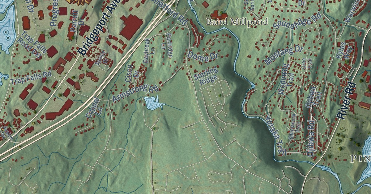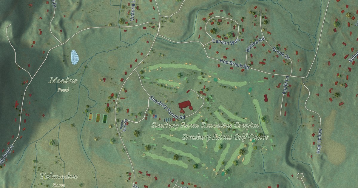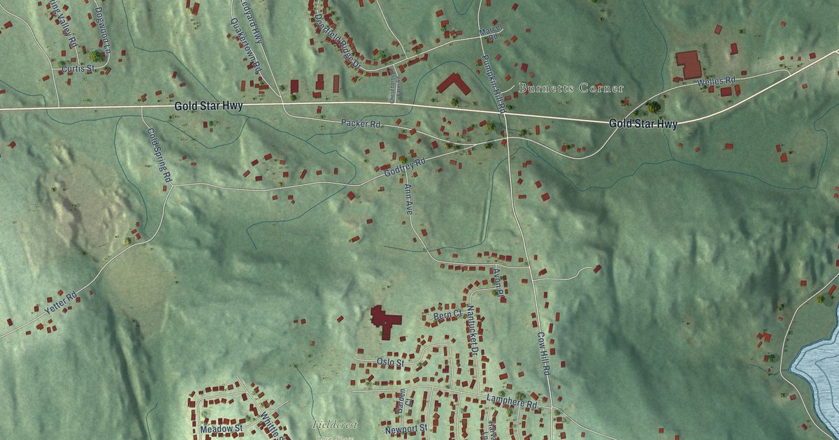
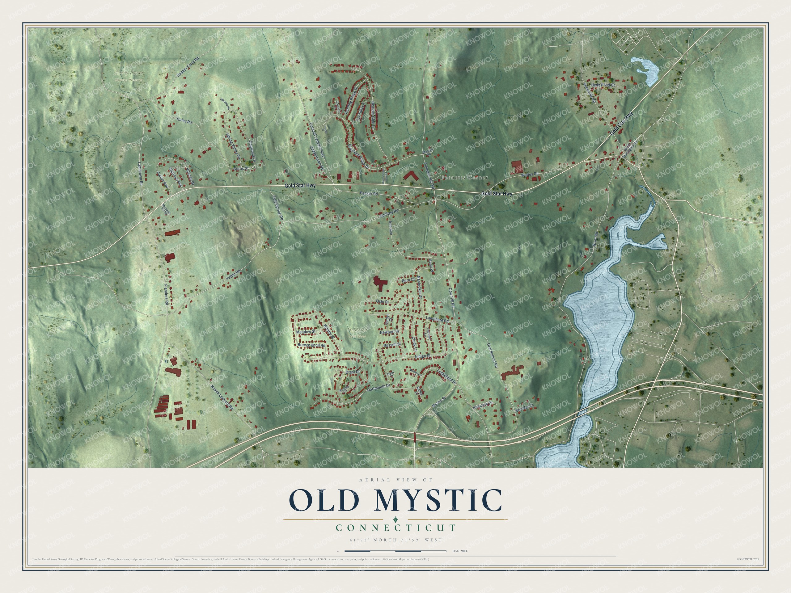
This beautifully detailed map of Old Mystic, Connecticut was created in 2026 using aerial imagery combined with modern topographical, census, street and landmark data. It's a modern aerial view of Old Mystic in Southeastern Connecticut Planning Region, Connecticut, that combines modern data with a vintage aesthetic. The roads feature printed names, and if you look closely you can find your exact house accurately shown in its correct location.
Explore an aerial view of Old Mystic, Connecticut
On this map you'll find Burnetts Corner, Avery Farm Nature Preserve, Fieldcrest Open Space, Gold Star Highway, Dogwood Lane, Lambtown Road, Packer Road, Yetter Road, Deerfield Ridge Drive, River Road, Cow Hill Road, Flanders Road, and more. Each red shape is a building, so zoom in on the preview and look for yours.
Old Mystic is a community in Southeastern Connecticut Planning Region. The Census Bureau counted 3,493 people here in 2020. Old Mystic sits about 3 miles north of Noank, 4 miles northeast of Poquonock Bridge and 4 miles east of Conning Towers-Nautilus Park. The map prints the town name in its title panel, with the coordinates below it.
Take a closer look at the Old Mystic map
Names on this map
These names are printed on this map.
Places: Burnetts Corner, Avery Farm Nature Preserve and Fieldcrest Open Space.
Streets and roads: Gold Star Highway, Dogwood Lane, Lambtown Road, Packer Road, Yetter Road, Deerfield Ridge Drive, River Road, Cow Hill Road, Flanders Road, Indigo Street, Oral School Road, Godfrey Road.
More street names, A to Z
Ann Avenue, Avon Place, Bern Court, Bolles Lane, Boulder Court, Breezy Knoll Road, Cheseborough Farm Road, Cindy Lane, Clairmont Circle, Cold Spring Road, Colonel Ledyard Highway, Crest Drive, Curtis Street, Dartmouth Drive, Forest Avenue, Fox Run Lane, Garden Court, Haley Road, Hancock Drive, Harvard Lane, Heather Glen Lane, Hillside Drive, Hunting Ridge Drive, Hyde Pond Court, Imogen Drive, Lamphere Road, Ledgeland Drive, Marcel Road, Meadow Street, Meredyth Hill Road, Mystic Street, Nantucket Drive, Newport Street, Noank Ledyard Road, North Stonington Road, Oslo Street, Pumpkin Hill Road, Quaker Farm Road, Quakertown Road, Raul Court, Russell Street, Shewville Road, Spring Valley Road, Waterhouse Lane, Watrous Avenue, Welles Road, Whitney Road, Whittle Street, Wyngate Circle.
See it on a wall
The Old Mystic map as a framed print. Swipe for more.


Created by KNOWOL in 2026. The buildings are small red shapes, the roads carry their printed names, and shaded relief shows the shape of the land. The title panel reads "AERIAL VIEW OF OLD MYSTIC, CONNECTICUT" with 41°23' NORTH 71°59' WEST.
Hang it in the hallway, the office or the cabin, or give it to someone who left Old Mystic and still calls it home. Open the preview and look for a street you know. See sizes and frames for the Old Mystic map.