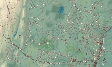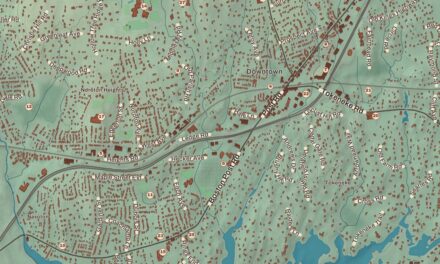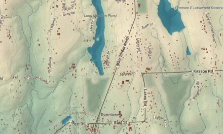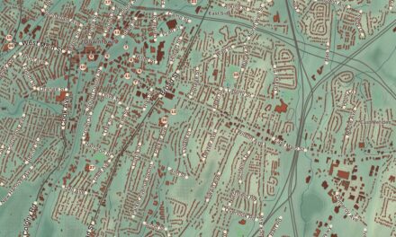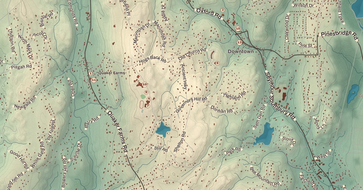
If you grew up in Oxford, or you’ve ever driven Route 34 across the top of the Stevenson Dam, you’ll find your town on this map just as it stands in 2026. Look for your road. Oxford Road, Quaker Farms Road, Good Hill Road, Rockhouse Hill Road, Roosevelt Drive, Old Church Road, Hogs Back Road, Great Hill Road, Newgate Road, Southford Road and Oxford Airport Road are all printed by name, along with many more.
Oxford is in New Haven County, with the Housatonic River along its western edge.
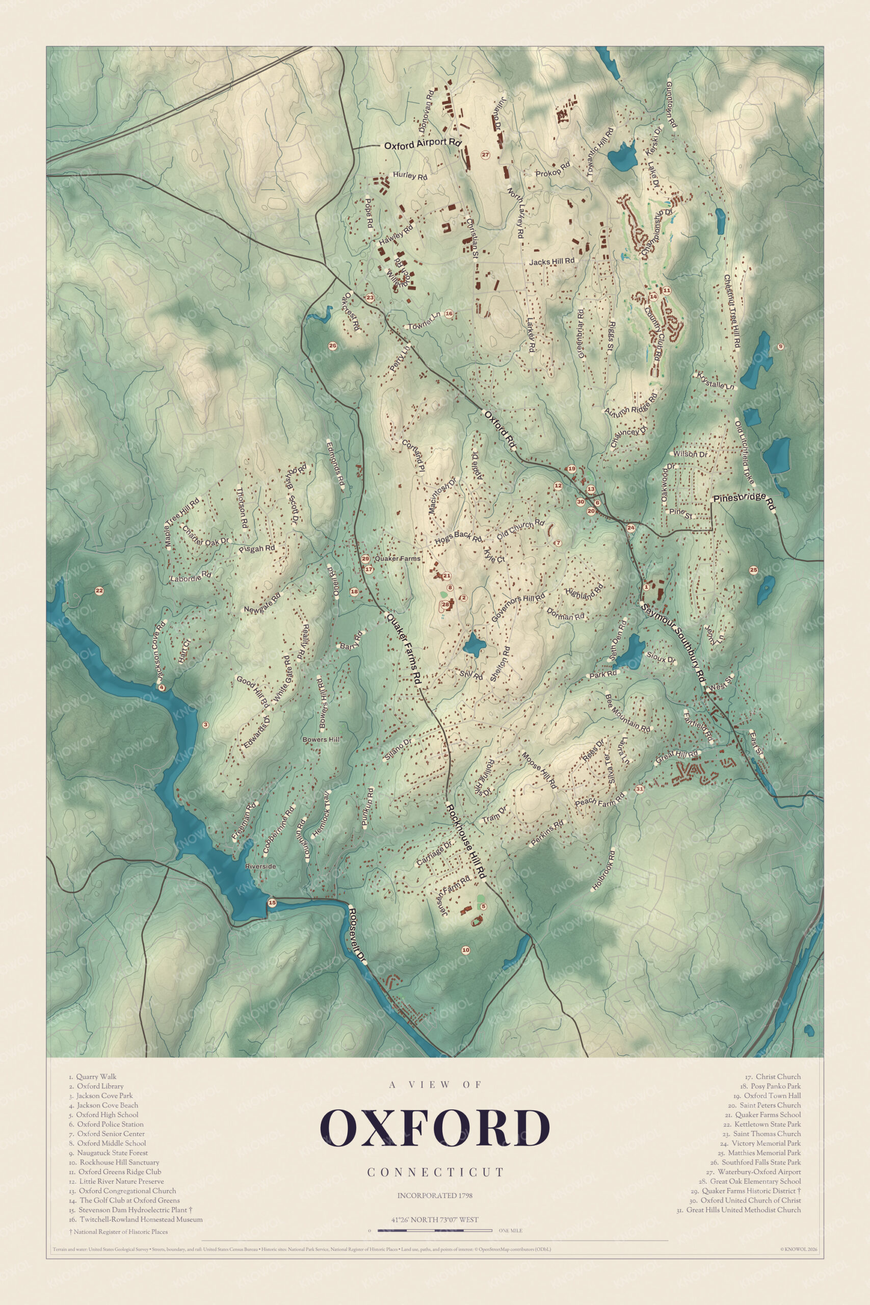
KNOWOL made this map in 2026 from public survey data, and gave it the look of an old atlas. The shaded hills, from Bowers Hill down to the Housatonic and north to Southford Falls, come from United States Geological Survey elevation data. The streets and the town line come from the Census Bureau, right down to roads like Christian Street. Quaker Farms, Riverside, Pinesbridge and Bowers Hill are printed by name. A guide of 31 numbered landmarks runs along the bottom, with the National Register sites marked, and we checked those against National Park Service records.
Farms, Mills and the Road to New Haven
The Pootatuck and Paugussett people lived here first, and English settlers followed around the 1680s. In the 1700s farmers drove their livestock through Oxford from as far away as Litchfield, on the way to the port of New Haven. The town was formed from parts of Derby and Southbury and incorporated in October 1798, and it’s named for Oxford in England. That’s the year on the title panel: Incorporated 1798.
Oxford’s early mills ran on water power, and its economy rested on small farms and mills. Later its tanneries made harnesses and leather goods, among them folding leather cases for daguerreotypes and ambrotypes, and the town’s Merino sheep kept wool mills busy. In the 1800s the town lost people as farmers left for better-paying factory jobs, and today it’s a rural suburb.
Click to explore a larger preview. The digital watermark does not appear on printed maps.
Oxford Center
The cluster of numbers in the middle of the map is Oxford Center. Oxford Town Hall (19) is here, with the Little River Nature Preserve (12) right beside it and the Oxford Congregational Church (13) a short way southeast. The Oxford Senior Center (7) and Victory Memorial Park (24) are close by, and Quarry Walk (1) is a little farther southeast. The Oxford Library (2) goes back to 1883. It has moved several times, most recently in 2018, and it now sits beside Oxford Middle School (8), southwest of the center.
Quaker Farms
West of the center, along Quaker Farms Road, is the old village of Quaker Farms. English settlers came here in the 1600s, mostly from Derby, about 8 miles to the south, along the main road between Derby and Woodbury. The name was in use by the 1700s, but no one knows where it came from. The guide marks the Quaker Farms Historic District (29), listed on the National Register in 1991. By the 1810s the village had grown enough to have its own Episcopal parish, and the district is anchored by Christ Church (17) at 470 Quaker Farms Road, a wood-frame church of 1812 in the Federal and Gothic styles with a well-preserved early interior. Around it are eleven houses built between the middle 1700s and the middle 1800s, the oldest from the 1720s, and one was built about 1800 as a carriage factory. Posy Panko Park (18) is just south of the district, and Quaker Farms School (21) teaches the town’s youngest grades. Out on Bowers Hill Road, from 1966 to 1973, was Harmony Ranch, home of Pulsa, a group of research associates from Yale’s School of Art and Architecture who placed sound and light installations at the Museum of Modern Art, the Boston Public Gardens and other places.
The Stevenson Dam and the River
In the southwest, where the Housatonic forms the line between Oxford and Monroe, is the Stevenson Dam Hydroelectric Plant (15). It’s a shared border site, and it’s really three structures. The dam spans the river between the two towns. The Stevenson Dam Bridge, built as part of the dam, carries Route 34 across the top. The powerhouse, 131 feet tall, had to be built on the Monroe side because of the bedrock. The Connecticut Light and Power Company began building in 1917, and the plant started making electricity in 1919. About 800 men worked on it day and night, living at a work camp called Camp Crisfield. It was the first high dam on the river, and the water it held back became Lake Zoar, flooding an area called Pleasant Vale. It was listed on the National Register in 2000.
Upriver from the dam is Jackson Cove Park (3), and farther north, on the east shore of Lake Zoar, is Kettletown State Park (22), which Oxford shares with Southbury, with camping, hiking and fishing. Oxford High School (5) and the Rockhouse Hill Sanctuary (10) sit next to each other in the south of town.
Southford Falls and the North
In the north of town is Southford Falls State Park (26), 169 acres shared with Southbury. Eight Mile Brook drops steeply here on its way from Lake Quassapaug to the Housatonic, and it once powered gristmills, sawmills and the shops of iron workers, button makers and knife makers. Around 1900 the Diamond Match Company built a factory here for cardboard matchboxes. The site went to the state in 1927, and the park opened in 1932, with waterfalls, a fire tower and a covered bridge over the brook. It’s a trout park, stocked from the state hatcheries.
Not far away is the Twitchell-Rowland Homestead Museum (16). In 2012 the people of Oxford and the Oxford Historical Society won a Connecticut Trust preservation award for their work preserving it. Waterbury-Oxford Airport (27), three miles north of the center, opened in 1969 on what had been farmland, and today it’s a busy center for corporate aviation. The Golf Club at Oxford Greens (14) is in the northeast, a public course with homes for active adults, and the Oxford Greens Ridge Club (11) is beside it. Part of Naugatuck State Forest (9) reaches into Oxford too. The guide also lists Jackson Cove Beach (4), the Oxford Police Station (6), Saint Peters Church (20), Saint Thomas Church (23), Matthies Memorial Park (25), Great Oak Elementary School (28), the Oxford United Church of Christ (30) and the Great Hills United Methodist Church (31).
This map of Oxford makes a handsome addition to a living room, office, library or den, and it can even help teach children the geography and history of the town. It’s a thoughtful gift for anyone who calls Oxford home, grew up here, or moved away. Created by KNOWOL in 2026, it’s printed on museum quality archival paper in three sizes. Zoom in on the preview above to explore the details, then click here to get your copy of the Oxford map.

Sources
- Oxford, Connecticut, Wikipedia
- Oxford, ConnecticutHistory.org
- Quaker Farms Historic District, Wikipedia
- Quaker Farms Historic District, National Register nomination, National Park Service
- Stevenson Dam Hydroelectric Plant, Wikipedia
- Stevenson Dam Hydroelectric Plant, National Register nomination, National Park Service
- Kettletown State Park, Wikipedia
- Southford Falls State Park, Wikipedia
- Waterbury-Oxford Airport, Wikipedia
- Naugatuck State Forest, Wikipedia