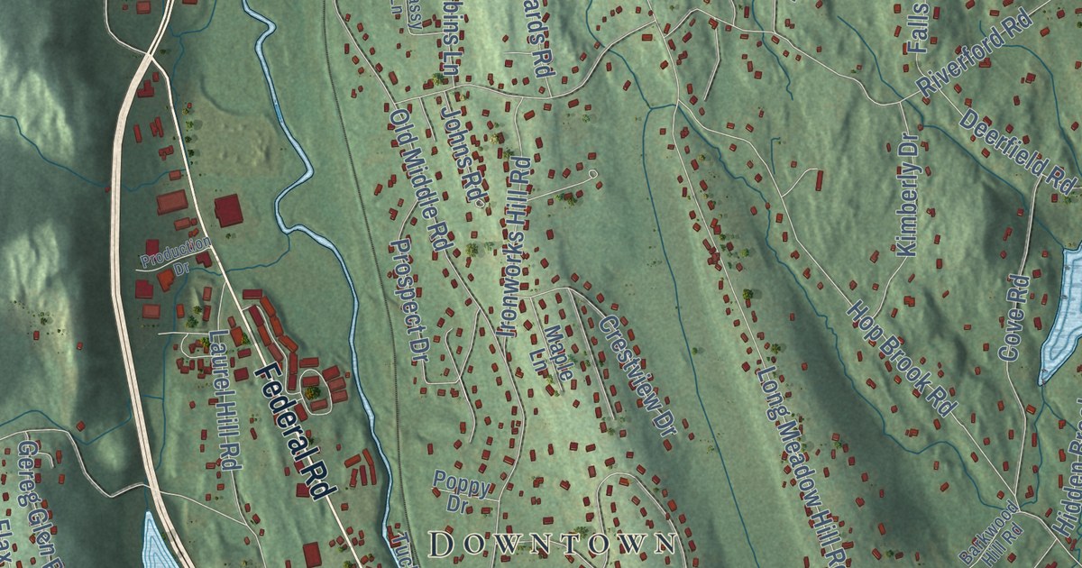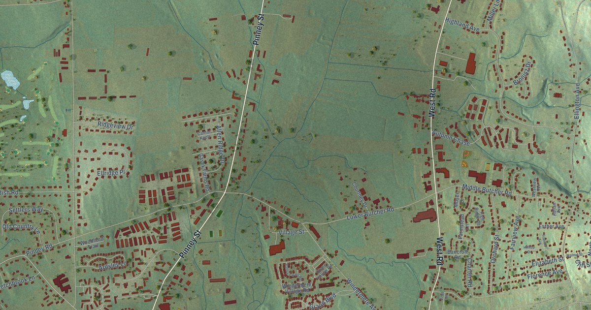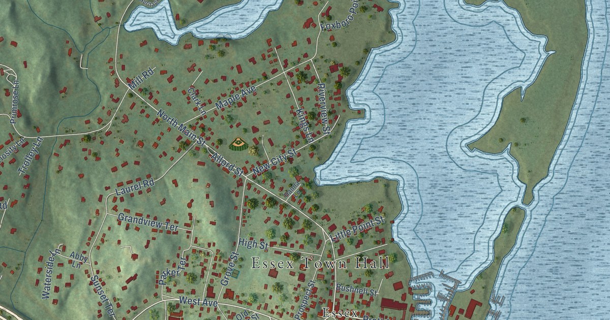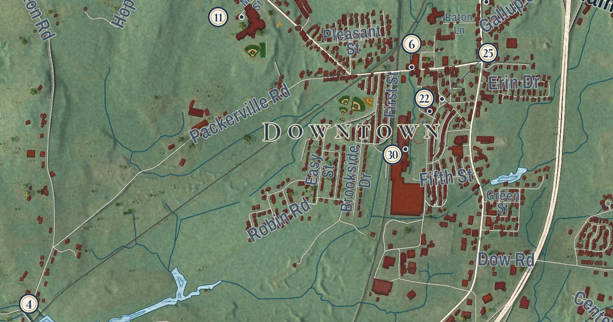
This beautifully detailed map of Plainfield, Connecticut was created in 2026 using aerial imagery combined with modern topographical, census, street and landmark data. It’s a one-of-a-kind view of Plainfield that combines accurate data with a vintage aesthetic. The map shows every building in its true location, many of the roads carry their names, and the shaded topographic relief shows the shape of the land.
See it on a wall
The Plainfield map as an 18 x 24 inch print in a black frame.

Explore an aerial view of Plainfield, Connecticut
On the map you’ll find Downtown, Wauregan, Wauregan Station, Allen Hill, Bare Hill, Black Hill, Ekonk Hill, Hell Hollow Pond, Quinebaug Wildlife Area, Quinebaug Fish Hatchery, Almyville, Moosup, and more. If you look closely you can even find your house accurately drawn in its correct location. Zoom in on the preview to look for yours. Click here to learn more about the history of Plainfield.
Take a closer look at the Plainfield map
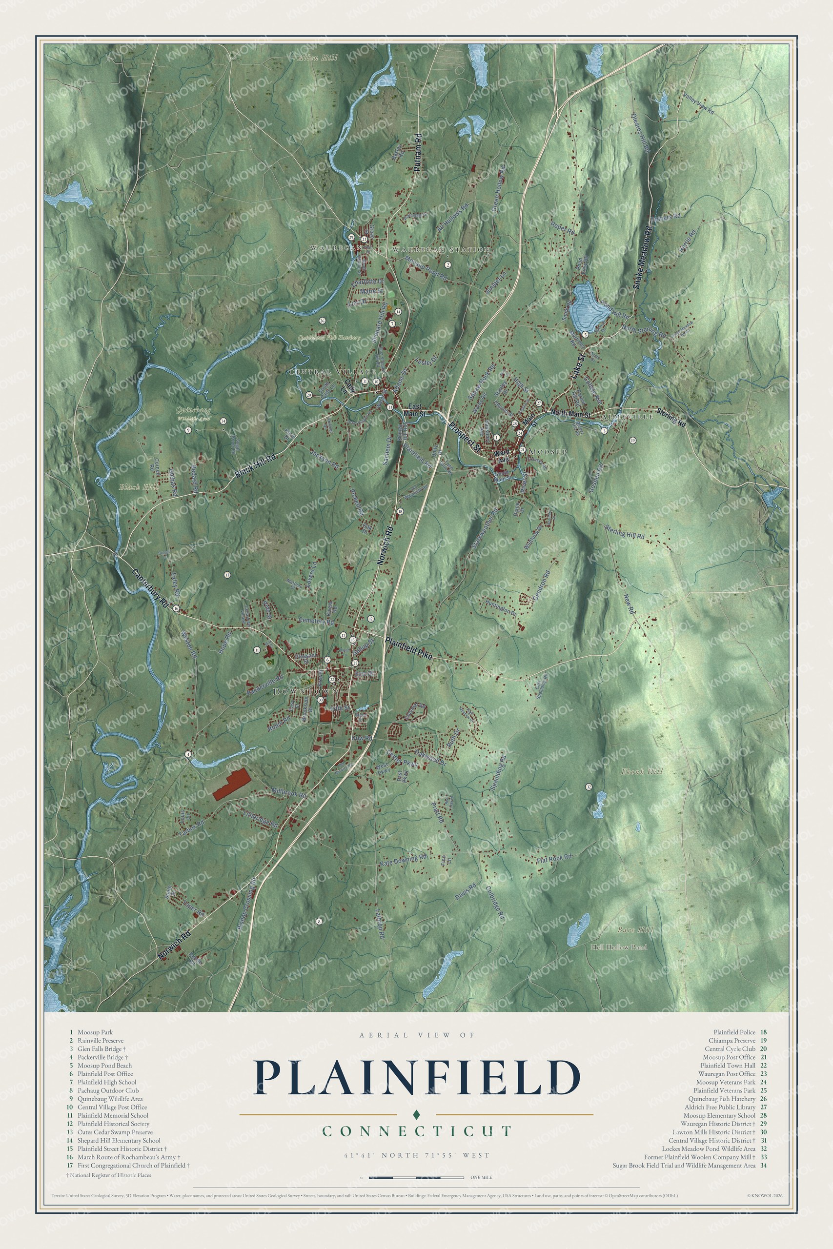
Click to explore a larger preview. The digital watermark does not appear on printed maps.
Names on this map
These names are printed on this map.
Places: Downtown, Wauregan, Wauregan Station, Allen Hill, Bare Hill, Black Hill, Ekonk Hill, Hell Hollow Pond, Quinebaug Wildlife Area, Quinebaug Fish Hatchery, Almyville, Moosup and Central Village.
Streets and roads: Prospect Street, Norwich Road, Lake Street, Canterbury Road, Black Hill Road, Plainfield Pike, Putnam Road, Snake Meadow Road, Packerville Road, Pine Street, Green Hollow Road, Moosup Pond Road.
More street names, A to Z
Adams Drive, All Hallows Road, Arnio Drive, Barber Hill Road, Basley Road, Bedard Road, Bishop Crossing Road, Brookside Drive, Cady Lane, Cedarview Village, Cemetery Road, Center Parkway, Charlotte Drive, Church Street, Colbridge Road, Collelo Avenue, Colonial Road, Cornell Road, Cranska Road, Daggett Street, Davis Road, Demers Road, Diane Drive, Dow Road, East Main Street, East Parkway, East Shepard Hill Road, East Spaulding Road, Easy Street, Eaton Lane, Erin Drive, Exley Road, Fifth Street, Finn Lane, First Street, Flat Rock Road, Front Street, Gallup Street, Gendron Road, Glebas Road, Goshen Road, Green Street, Grove Street, Harris Road, High Meadow Drive, High Street, Hope Road, Huntington Drive, Jackson Road, Juniper Lane, Karin Drive, Kate Downing Road, Kinney Hill Road, Kivela Road, Lathrop Road, Lester Drive, Lillibridge Road, Lori Drive, Louis Lane, Lovers Lane, Main Street, Marie Street, Matteau Drive, May Street, Millbrook Road, Mortimer Road, New Road, Northern Drive, North Main Street, North Sterling Road, Oak Drive, Oakwood Drive, Old Norwich Road, Old Plainfield Road, Olearos Hill Road, Parent Hill Road, Philmar Drive, Pickett Road, Plainfield Road, Plainview Drive, Pleasant Street, Pond Hill Road, Pond View Road, Pratt Road, Red Oak Drive, River Street, Robin Road, Roode Road, Roper Road, Ruth Drive, Sachem Drive, Salisbury Avenue, Salmon Drive, Sara Lane, Shepard Hill Road, Smith Road, Snake Meadow Hill Road, South Cady Lane, South Main Street, South Street, South Walnut Street, Spaulding Road, Stanley Drive, Starkweather Road, Sterling Hill Road, Sterling Road, Sugar Brook Road, Sunset Lane, Tarbox Road, Texas Heights Road, Toper Road, Town Farm Road, Unity Drive, Valley View Road, Walas Road, Ward Avenue, Water Street, Weston Road, West Parkway, Winthrop Drive.
This beautifully detailed map of Plainfield makes an attractive addition to your office, library, or den, and it can even be used to teach children the geography and history of the area. It also makes a great gift for anyone who grew up in Plainfield or moved away. When you’re done exploring, click here to get your copy of the Plainfield map.