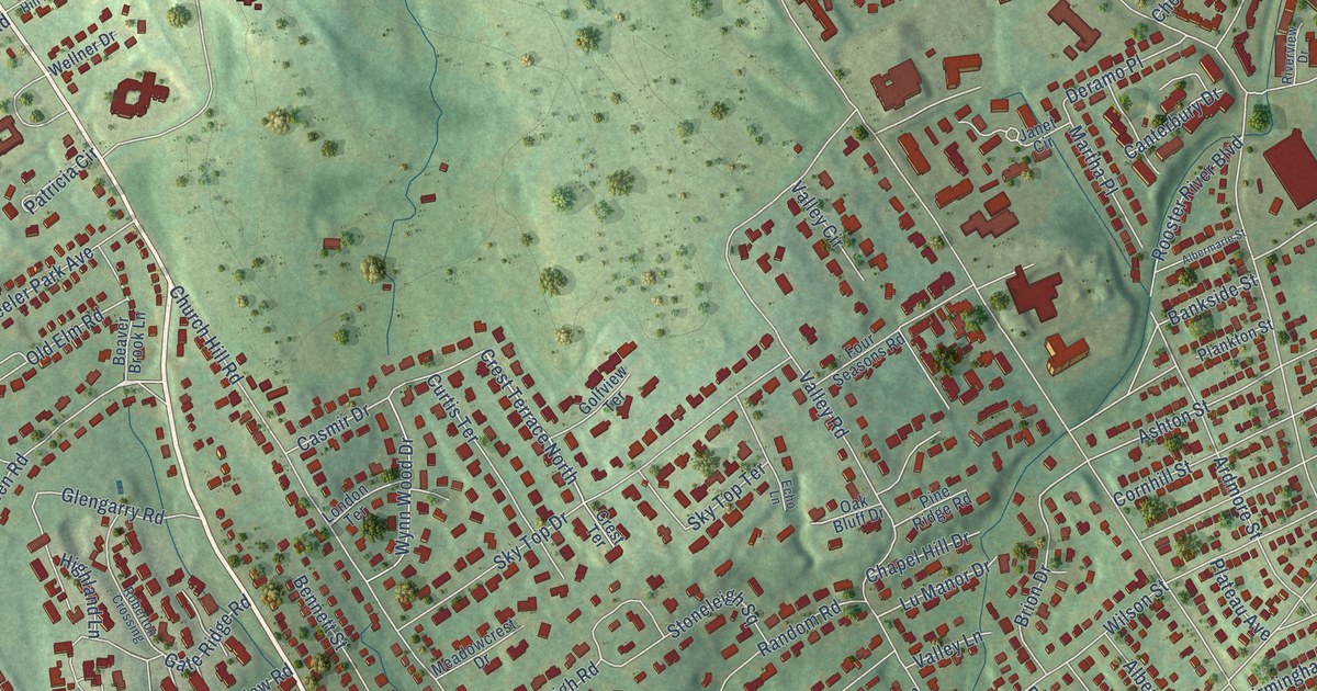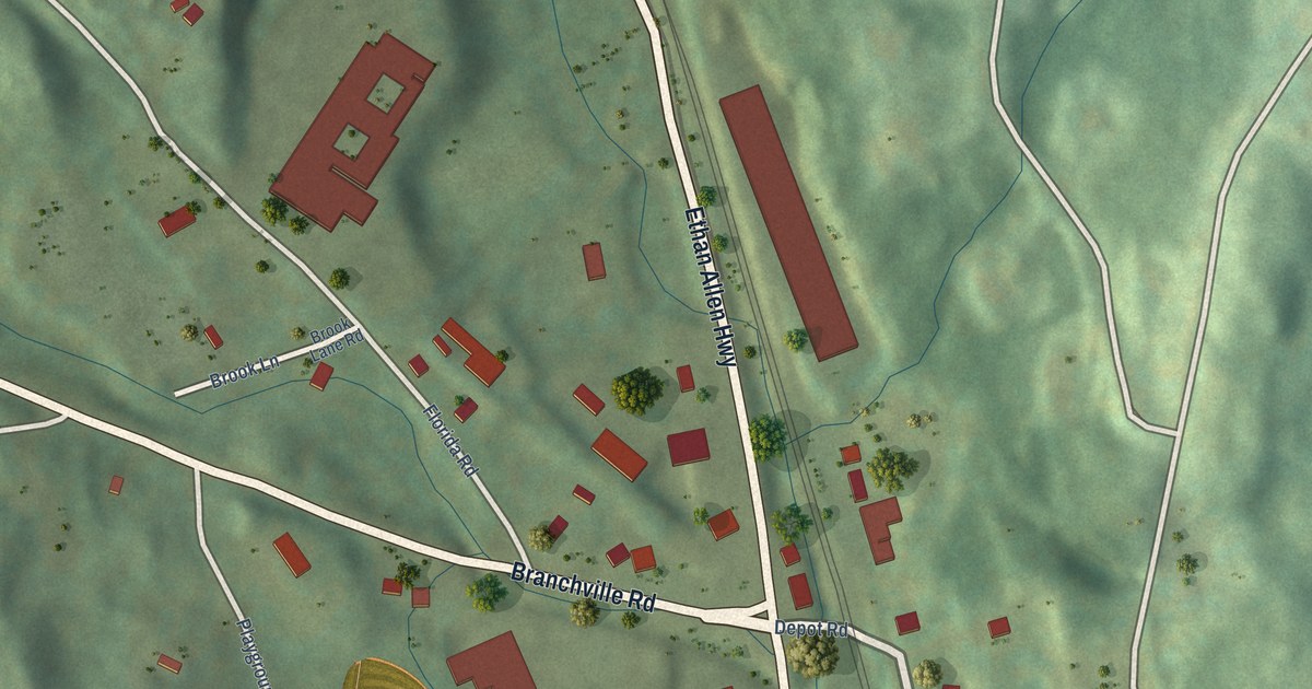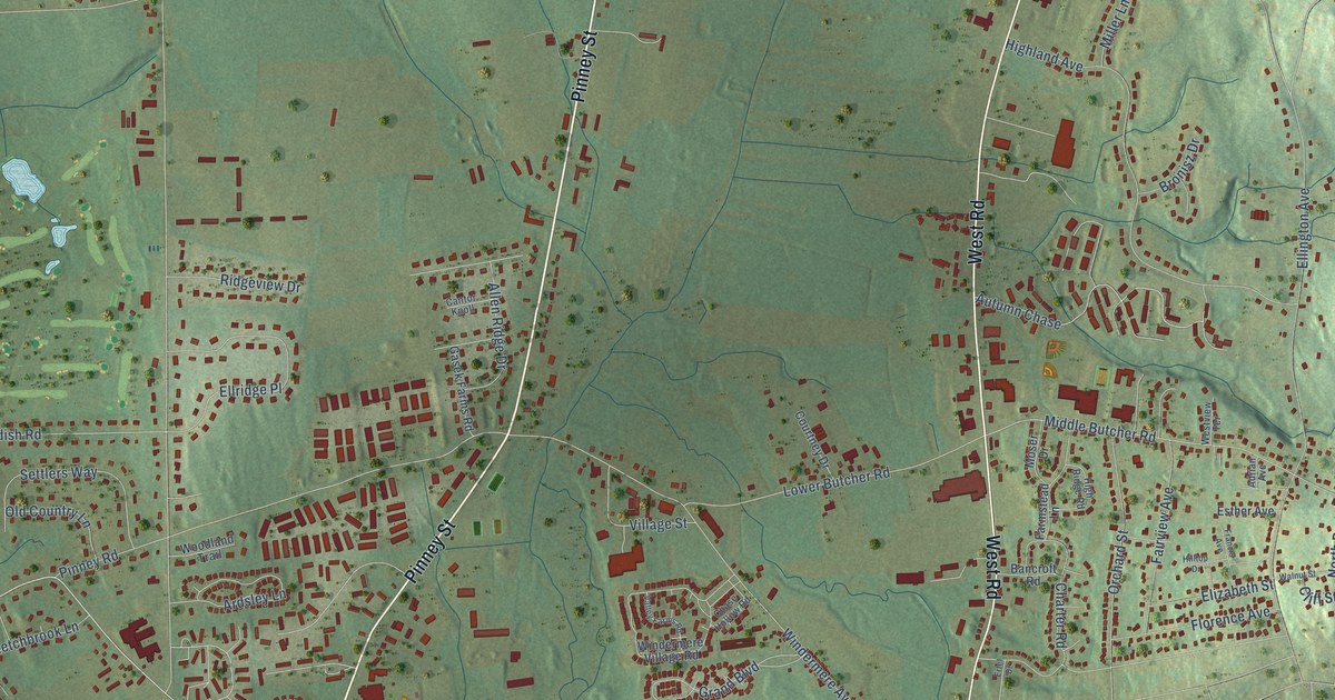
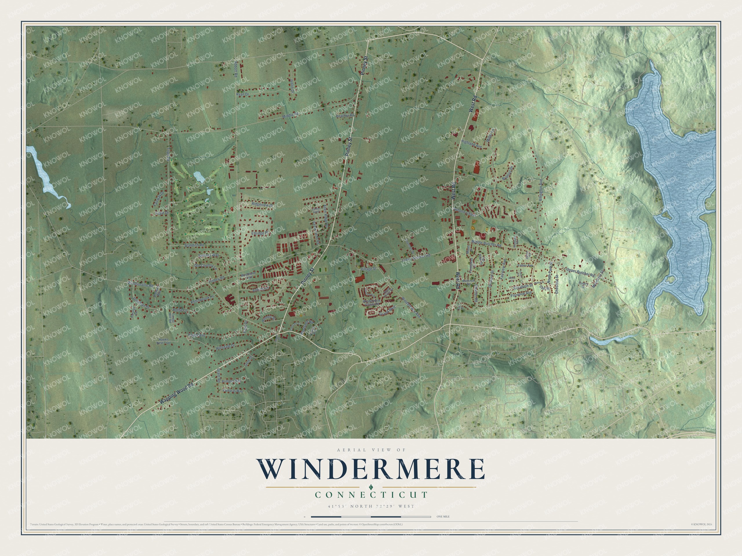
This beautifully detailed map of Windermere, Connecticut was created in 2026 using aerial imagery combined with modern topographical, census, street and landmark data. It’s a one-of-a-kind view of Windermere that combines accurate data with a vintage aesthetic. The map shows every building in its true location, many of the roads carry their names, and the shaded topographic relief shows the shape of the land.
Explore an aerial view of Windermere, Connecticut
On the map you’ll find Autumn Chase, along with Wapping Wood Road, Pinney Street, West Road, Windsorville Road, Abbott Road, Grand Boulevard, Middle Butcher Road, Middle Road, Windermere Avenue, Tripp Road, Ellington Avenue, and more. If you look closely you can even find your house accurately drawn in its correct location. Zoom in on the preview to look for yours.
Did You Know?
From the Press.: "Carroll, grocer at Rockville and Windermere, has settled with his creditors for about 25 cents on a dollar."
Windermere is a community in Capitol County.
Take a closer look at the Windermere map
Names on this map
These names are printed on this map.
Streets and roads: Wapping Wood Road, Pinney Street, West Road, Windsorville Road, Autumn Chase, Abbott Road, Grand Boulevard, Middle Butcher Road, Middle Road, Windermere Avenue, Tripp Road, Ellington Avenue.
More street names, A to Z
Adrian Avenue, Allen Ridge Drive, Ardsley Lane, Bancroft Road, Barbaras Way, Brittanis Way, Bronisz Drive, Cantor Knoll, Carolyn Circle, Charter Road, Chase Hollow Road, Chestnut Street, Cliff Street, Courtney Drive, Crescent Circle, Eagle Drive, Elizabeth Street, Ellridge Place, Ertel Drive, Esther Avenue, Fairview Avenue, Fairway Drive, Farmstead Lane, Field Drive, Florence Avenue, Forest Hill Road, Francis Avenue, Gasek Farms Road, Gem Drive, Grant Road, Hawks Nest Trail, Hayes Avenue, Heather Road, Highland Avenue, High Ridge Road, Hillsdale Drive, Hilltop Drive, Jonathan Drive, Justin Drive, Ketchbrook Lane, Lower Butcher Road, Miller Lane, Moser Drive, Mountain Street, North Park Street, Old Country Lane, Orchard Street, Penfield Avenue, Pinney Road, Quarry Street, Ridgeview Drive, Rothe Lane, Ryan Drive, Settlers Way, Shepard Way, Skinner Road, Standish Road, Upper Butcher Road, Valley Farms Road, Village Street, Walnut Street, Westland Road, Westview Terrace, Windermere Village Road, Woodland Trail.
See it on a wall
The Windermere map as a framed print. Swipe for more.


This beautifully detailed map of Windermere makes an attractive addition to your office, library, or den, and it can even be used to teach children the geography and history of the area. It also makes a great gift for someone who left Windermere and still calls it home. When you’re done exploring, click here to get your copy of the Windermere map.