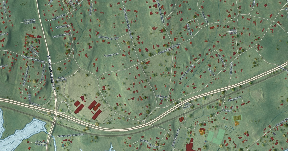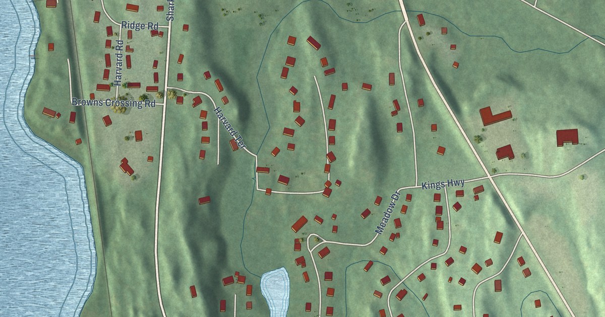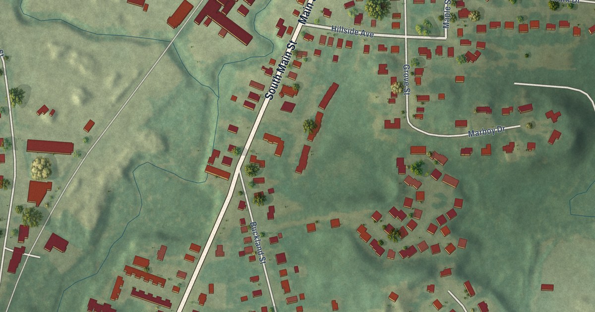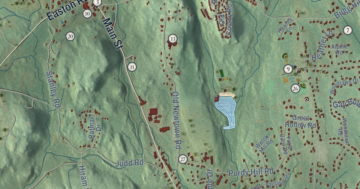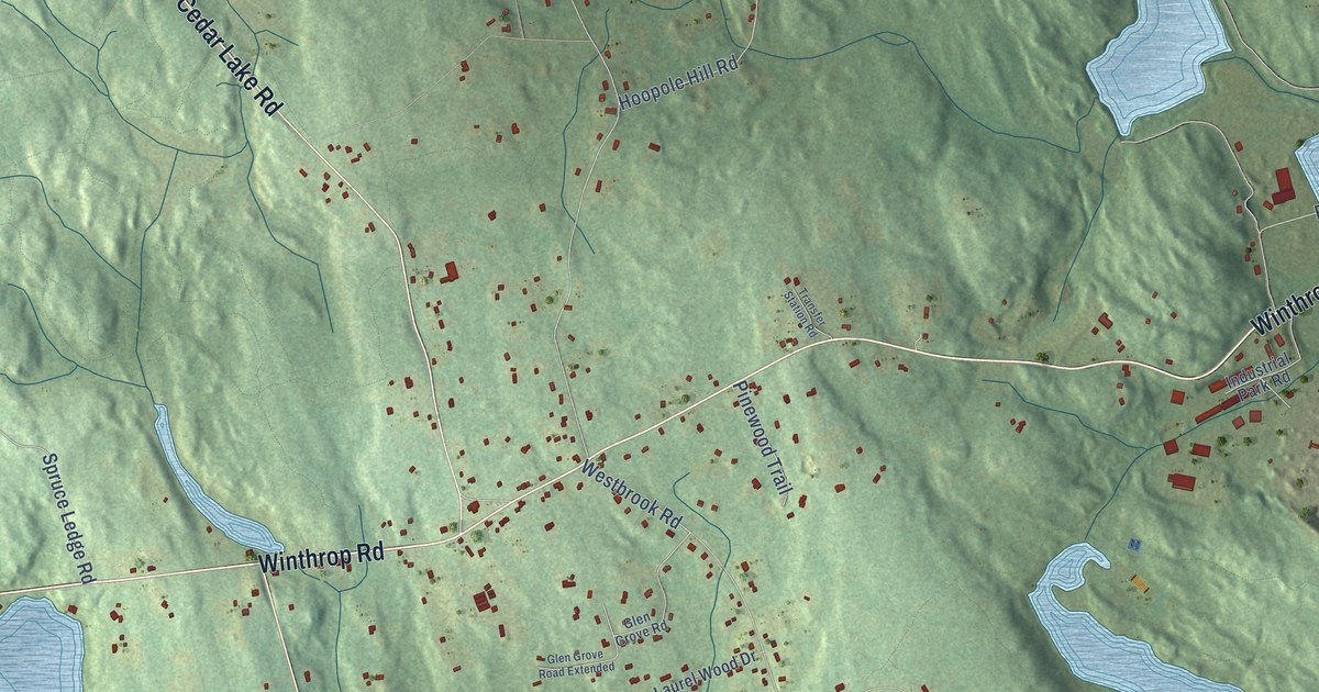
This beautifully detailed map of Winthrop, Connecticut was created in 2026 using aerial imagery combined with modern topographical, census, street and landmark data. It’s a one-of-a-kind view of Winthrop that combines accurate data with a vintage aesthetic. The map shows every building in its true location, many of the roads carry their names, and the shaded topographic relief shows the shape of the land.
Explore an aerial view of Winthrop, Connecticut
On the map you’ll find Lake View and Incarnation Center, along with Warsaw Street, Winthrop Road, Horse Hill Road, West Main Street, Stevenstown Road, Cedar Lake Road, Elm Street, West Elm Street, Deep River Road, Pond Meadow Road, and more. If you look closely you can even find your house accurately drawn in its correct location. Zoom in on the preview to look for yours.
Did You Know?
From Internet Archive: "Governor Winthrop lived in the great house, which had been erected the preceding year at Charlestown."
Winthrop is a community in Lower Connecticut River Valley County.
Take a closer look at the Winthrop map
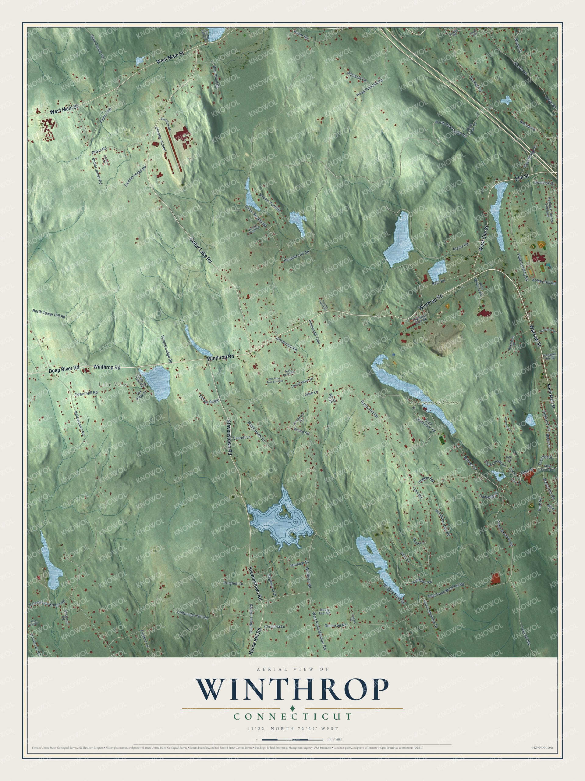
Names on this map
These names are printed on this map.
Places: Lake View, Incarnation Center and Chester Airport.
Streets and roads: Warsaw Street, Winthrop Road, Horse Hill Road, West Main Street, Stevenstown Road, Cedar Lake Road, Elm Street, West Elm Street, Deep River Road, Pond Meadow Road, Bushy Hill Road, Cedar Swamp Road.
More street names, A to Z
Acorn Road, Aviation Drive, Bahr Road, Baker Road, Beechwood Drive, Blake Street, Bochim Road, Bokum Road, Brooks Lane, Butter Jones Road, Cheney Street, Chittenden Hill Road, Christina Lane, Clarks Pond Lane, Combes Road, Cross Road, Deer Lane, Dennison Road, East Pond Meadow Road, Ebony Lane, Edgewood Drive, Ellen Lane, Everett Lane, Falls Landing Road, Fife Court, Glen Grove Road, Glen Grove Road Extended, Gorham Road, Green Meadow Drive, Hemlock Drive, Hemlock Terrace Extended, Highland Terrace, Hoopole Hill Road, Hoop Pole Hill Road, Hopper Road, Industrial Park Road, Ironworks Road, John Winthrop Road, Kelsey Hill Road, Kelseytown Bridge Road, Kelseytown Road, Laurel Wood Drive, Lindera Lane, Lynn Road, Main Saint No 2, Main Street, Malabar Drive, Maple Leaf Road, Maple Street, Mares Hill Road, Melody Ridge Road, Mikes Terrace, Nature Trail, North Main Street, North Pine Ledge Road, North Tower Hill Road, Oakledge Drive, Oak Ridge Drive, Oakwood Trail, Old Horse Hill Road, Park Road, Pine Knoll Drive, Pine Lake Road, Pine Ledge Road, Pinewood Trail, Pinnacle Lane, Plains Road, Pritchett Drive, Rachel Lane, Reservoir Road, Rose Marie Lane, Rosemont Drive, Rosewood Lane, Shailer Pond Road, South Incarnation Road, Spruce Ledge Road, Stanwoll Hill Road, State Forest Road, Straits Road, Summitt Street, Sunset Avenue, Sunset Ridge, Swamp Ledge Road, Sypher Road, Toby Hill Road, Tower Hill Lake Road, Tower Hill Road, Transfer Station Road, Union Street, West Bridge Street, Westbrook Road, West Pond Meadow Road, Winthrop Hills Road, Witch Hazel Drive, Woodland Road, Wrights Pond Road.
See it on a wall
The Winthrop map as a framed print. Swipe for more.


This beautifully detailed map of Winthrop makes an attractive addition to your office, library, or den, and it can even be used to teach children the geography and history of the area. It also makes a great gift for anyone with Winthrop roots. When you’re done exploring, click here to get your copy of the Winthrop map.