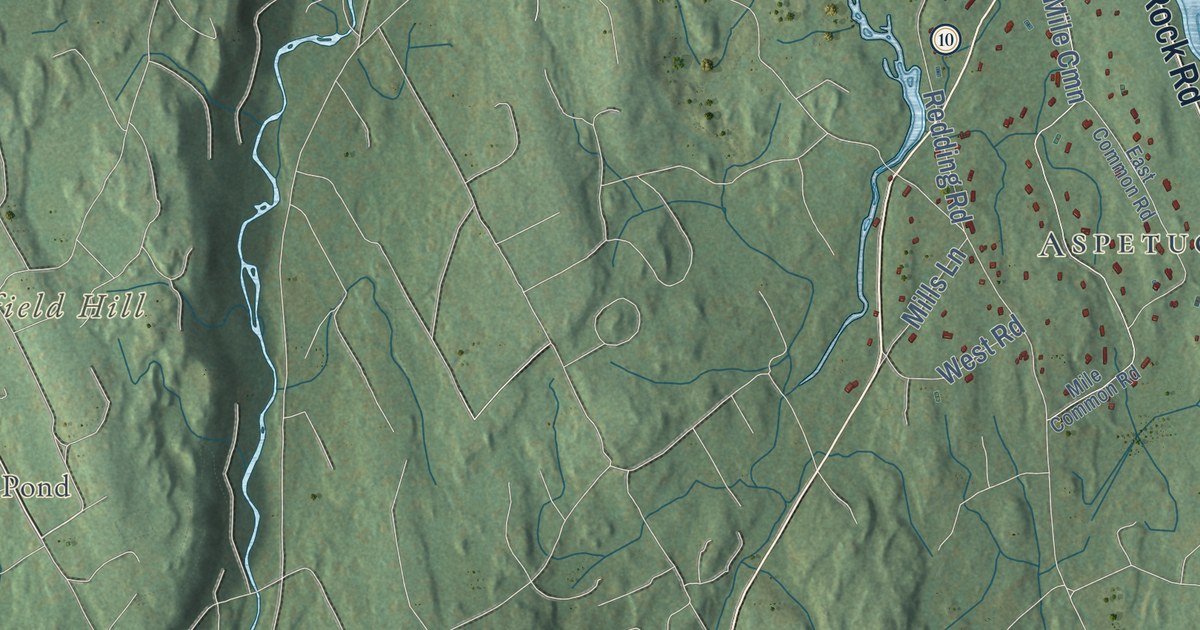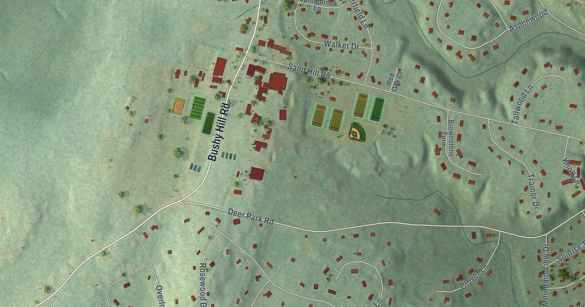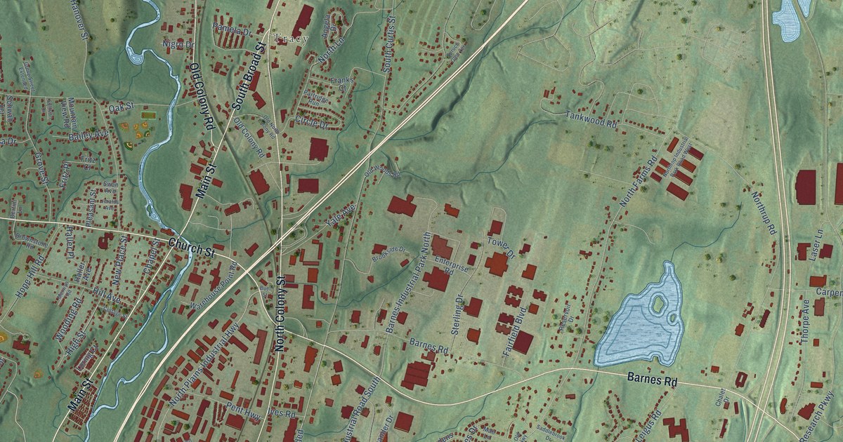
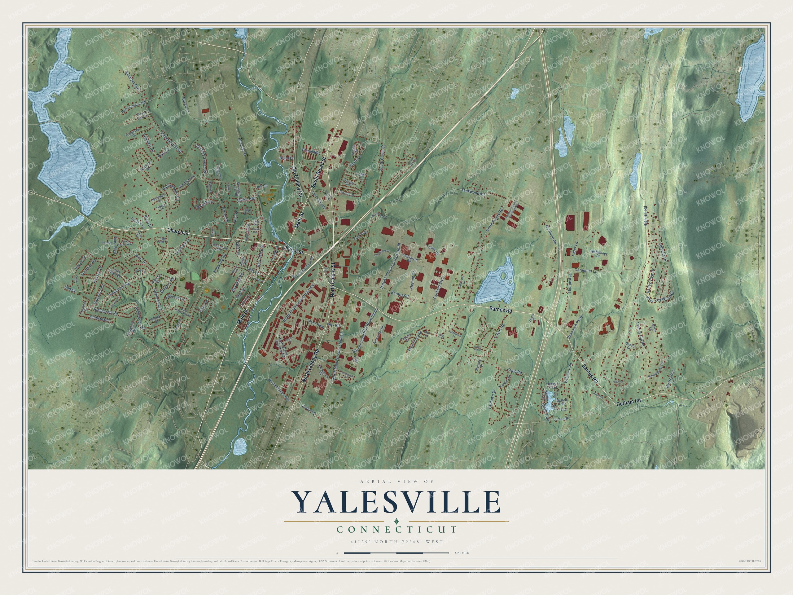
This beautifully detailed map of Yalesville, Connecticut was created in 2026 using aerial imagery combined with modern topographical, census, street and landmark data. It’s a one-of-a-kind view of Yalesville that combines accurate data with a vintage aesthetic. The map shows every building in its true location, many of the roads carry their names, and the shaded topographic relief shows the shape of the land.
Explore an aerial view of Yalesville, Connecticut
On the map you’ll find Tracy and North Main Street Extended, along with Main Street, South Broad Street, Barnes Road, Church Street, Durham Road, North Colony Road, North Colony Street, Old Colony Road, Chapel Street, Grieb Road, and more. If you look closely you can even find your house accurately drawn in its correct location. Zoom in on the preview to look for yours.
Did You Know?
From Internet Archive: "Is reached by the New York, New Haven & Hartford Railroad, stations, Wallingford and Yalesville; and by the same road, Air Line division, station."
Yalesville is a community in South Central Connecticut County.
Take a closer look at the Yalesville map
Names on this map
These names are printed on this map.
Places: Tracy.
Streets and roads: Main Street, South Broad Street, Barnes Road, Church Street, Durham Road, North Colony Road, North Colony Street, Old Colony Road, North Main Street Extended, Chapel Street, Grieb Road, Pierson Drive.
More street names, A to Z
Alexander Drive, Angela Drive, Bailey Avenue, Barnes Industrial Park North, Barnes Industrial Road South, Beaumont Road, Beechwood Drive, Ben Court, Benham Avenue, Bertini Lane, Brockett Road, Brookside Drive, Brownstone Road, Buel Street, Buttonwood Circle, Capitol Drive, Carpenter Lane, Carter Trail, Cassella Drive, Cedar Lane, Chalet Drive, Chimney Hill Road, Chimney Sweep Road, Circle Drive, Cliffside Drive, Collin Court, Cottage Street, Crestview Terrace, Crystal Lane, Dana Boulevard, Dogwood Lane, Eaton Trail, Edgewood Drive, Enterprise Road, Evanwood Drive, Fairfield Boulevard, Fairlawn Drive, Franks Court, Fritz Court, Fritz Place, Grassy Hill Court, Gregory Road, Grieb Trail, Grove Street, Grove Street Extended, Haller Avenue, Haller Place, Hampton Trail, Hanover Street, Hayledge Court, Hemingway Drive, High Hill Road, Highland Avenue, Highland Drive, High Street, Hill Avenue, Hillock Drive, Hintz Drive, Hope Hill Road, Huelstede Lane, Ives Road, Jeralds Avenue, Johnson Road, Jonathan Road, Kazersky Drive, Laser Lane, Leigus Road, Loring Court, Mae Lane, Marie Lane, Martin Trail, Merriman Lane, Merwyn Road, Mountain View Road, New Cheshire Road, New Place Street, Nicholas Road, Nigro Drive, North Farms Road, North Lane, North Plains Highway, North Plains Industrial Highway, North Plains Industrial Road, Northrop Industrial Park Road West, Northrup Road, Nutmeg Court, Oak Street, Old Highway, Old North Colony Road, Old Woods Road, Oxford Trail, Padens Court, Pamela Drive, Park Pond Circle, Partridge Run, Pent Highway, Pieper Drive, Platt Drive, Pleasant Street, Quarry Run, Raven Lane, Research Parkway, Reservoir Drive, Ridgecrest Road, Ridgefield Road, Ridgeland Circle, Ridgenoll Road, Ridge Road, Ridgetop Road, Ridgewood Road, Royal Oak Lane, Ryan Drive, Saddlebrook Drive, Schwab Terrace, Shangri Lane, Shire Drive, Silliman Road, Sixth Ridge Road, South Curtis Street, Spruce Glen Terrace, Sterling Drive, Sullivan Drive, Susan Drive, Swan Avenue, Tammy Hill Road, Tankwood Road, Technology Drive, Terrell Farms Way, Thorpe Avenue, Tower Drive, Trailside Drive, Trumbull Drive, Twin Pines Drive, Valley View Drive, Village Lane, Warehouse Point Road, Weatherside Drive, West Ridgeland Road, Williams Road, Wisk Key Wind Road, Wooding Road, Yale Avenue.
See it on a wall
The Yalesville map as a framed print. Swipe for more.


This beautifully detailed map of Yalesville makes an attractive addition to your office, library, or den, and it can even be used to teach children the geography and history of the area. It also makes a great gift for someone who left Yalesville and still calls it home. When you’re done exploring, click here to get your copy of the Yalesville map.