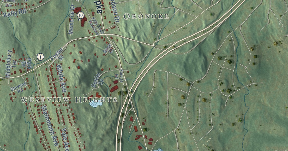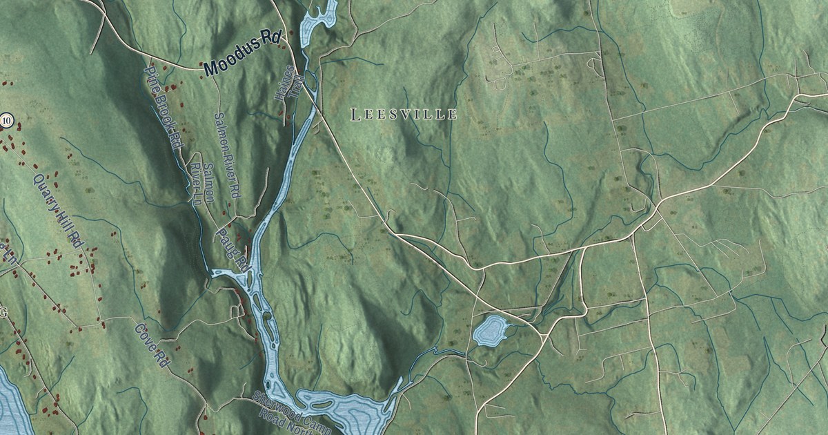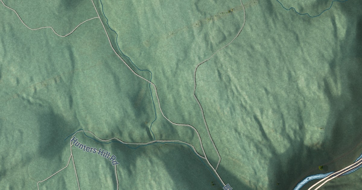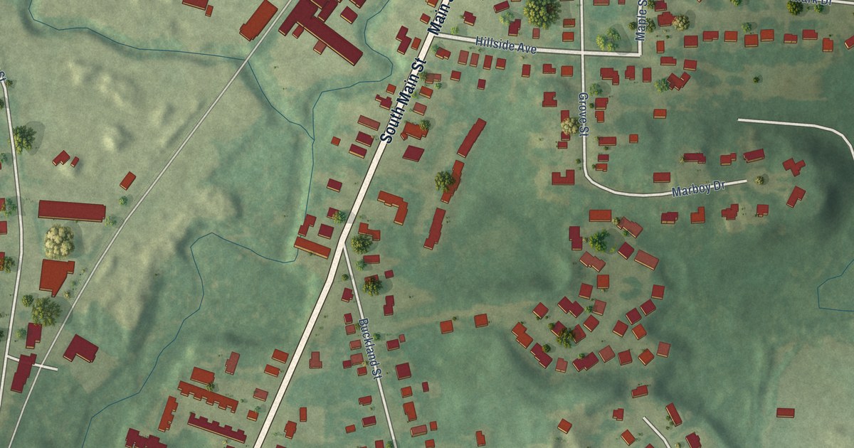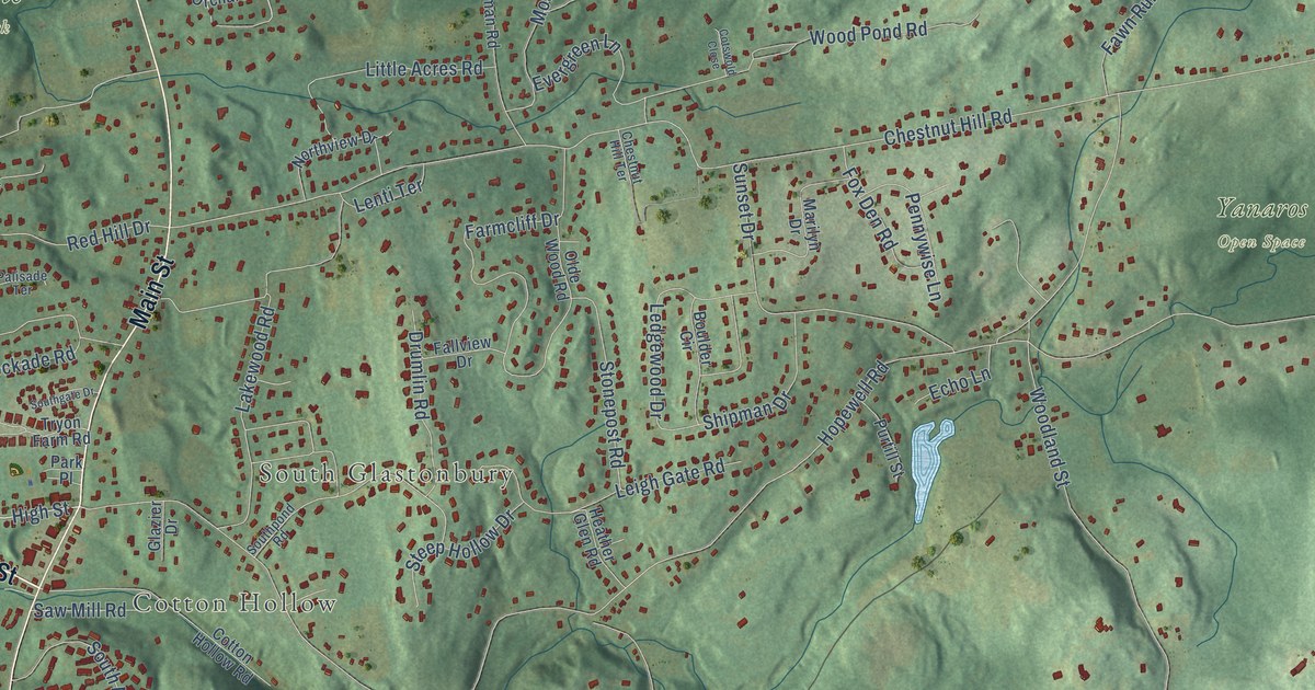
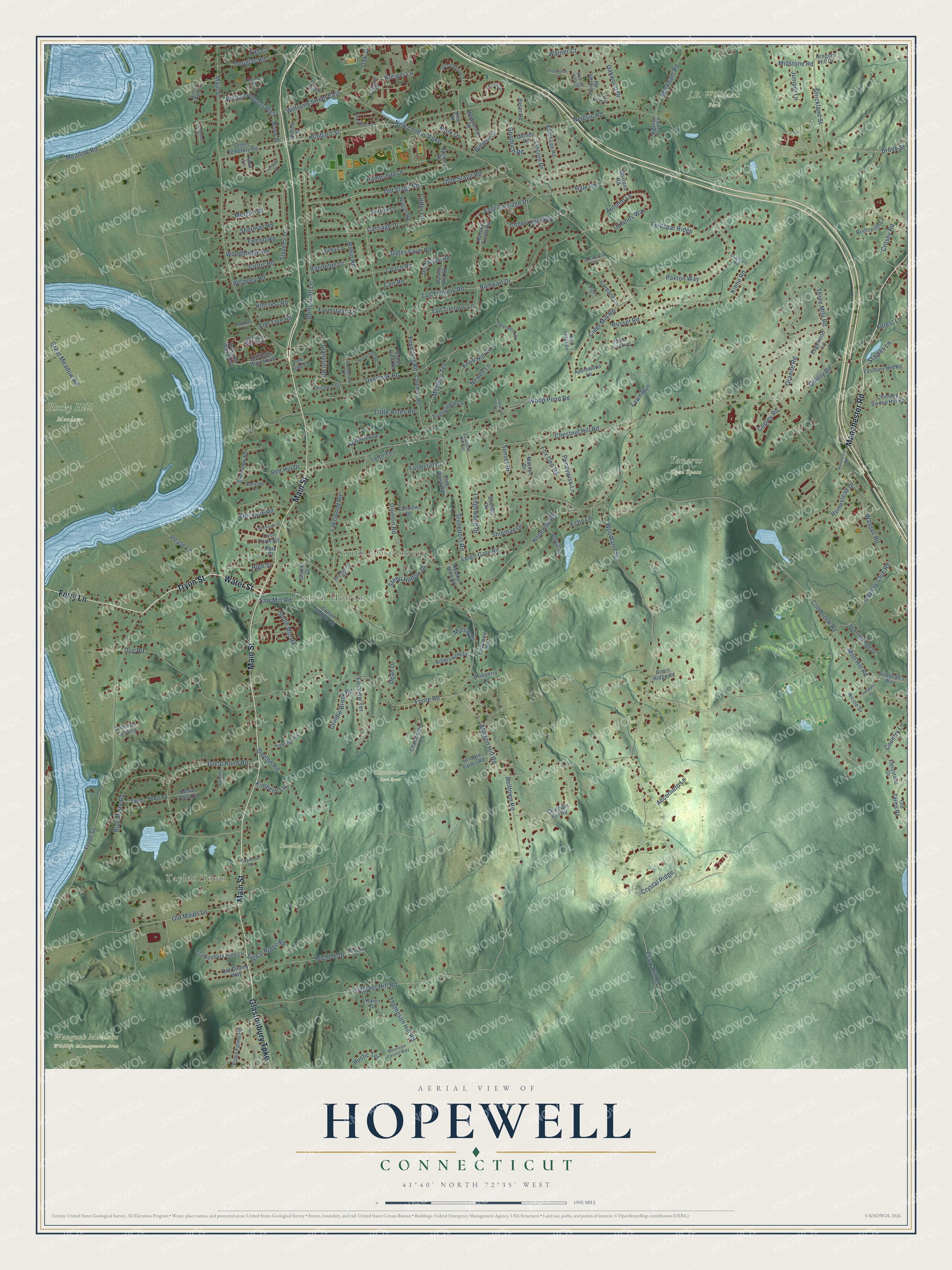
This beautifully detailed map of Hopewell, Connecticut was created in 2026 using aerial imagery combined with modern topographical, census, street and landmark data. It’s a one-of-a-kind view of Hopewell that combines accurate data with a vintage aesthetic. The map shows every building in its true location, many of the roads carry their names, and the shaded topographic relief shows the shape of the land.
Explore an aerial view of Hopewell, Connecticut
On the map you’ll find Taylor Town, Cotton Hollow, South Glastonbury, Chamberlain Open Space, Earle Park, Rocky Hill Meadows, Scoville Tract, Wangunk Meadows Wildlife Management Area, and Yanaros Open Space, along with Tryon Street, Main Street, Water Street, and more. If you look closely you can even find your house accurately drawn in its correct location. Zoom in on the preview to look for yours.
Did You Know?
From Internet Archive: "From thence he removed to New Jersey, and settled in the church at Hopewell, but the revolution breaking out, his patriotic feelings led him to accept the place of chaplain in the American army."
Hopewell is a community in Capitol County.
Take a closer look at the Hopewell map
Names on this map
These names are printed on this map.
Places: Taylor Town, Cotton Hollow, South Glastonbury, Chamberlain Open Space, Earle Park, J.B. Williams Park, Rocky Hill Meadows, Scoville Tract, Wangunk Meadows Wildlife Management Area and Yanaros Open Space.
Streets and roads: Tryon Street, Main Street, Water Street, Manchester Road, Glastonbury Turnpike, Ferry Lane, Hubbard Street, High Street, Rampart Drive, Great Pond Road, Uplands Way, Clark Hill Road.
More street names, A to Z
Accornero Lane, Acorn Ridge Road, Applewood Lane, Arrowhead Drive, Autumn Lane, Backland Road, Belltown Road, Bidwell Street, Bittersweet Lane, Blueberry Lane, Bluff Point Road, Boulder Circle, Bridlepath Lane, Brittany Road, Brookfield Drive, Brook Street, Bunker Hill Road, Buttonball Lane, Canione Road, Carriage Drive, Cart Road, Chambelain Lane, Chatham Hill Road, Chestnut Hill Road, Chestnut Hill Terrace, Chimney Sweep Hill Road, Cider Mill Road, Coach Road, Coldbrook Road, Coleman Road, Conestoga Way, Copley Road, Cortland Lane, Cotswold Close, Cotton Hollow Road, Country Club Road, Country Lane, Crosby Road, Crystal Ridge, Curtis Road, Cutter Lane, Dayton Road, Dean Drive, Douglas Road, Drumlin Road, Duffords Landing, Dug Road, Eastbury Hill Road, East Carriage Drive, Echo Lane, Edgewood Lane, Elm Tree Road, Evergreen Lane, Fairlawn Road, Fairview Terrace, Fallview Drive, Farmcliff Drive, Farmstead Lane, Fawn Run, Feldspar Ridge, Fieldstone Drive, Flanagan Drive, Foote Road, Forest Lane, Founders Road, Fox Den Road, Full Circle, Gates Farm Road, Georgetown Drive, Glastonbury Hunt Lane, Glazier Drive, Goodrich Road, Granite Road, Great Meadow Road, Green Cemetery Road, Gregory Hill Drive, Grindle Brook Road, Hale Road, Hampshire Drive, Hanover Fields Road, Heather Glen Road, Hi-Gate Farms Road, Highridge Road, Hillcrest Road, Hollister Way North, Hollister Way South, Hollister Way West, Homestead Drive, Hopewell Heights, Hopewell Road, Hubbard Drive, Hubbard Run, Huntingridge Drive, Isinglass Hill Road, Jacques Lane, Jeremiah's Way, Juniper Lane, Karen Drive, Karen Lee Road, Kettle Pond Drive, Kimberly Lane, Kinne Road, Knob Hill Road, Knox Lane, Kreiger Lane, Lakewood Road, Ledgewood Drive, Leigh Gate Road, Lenox Drive, Lenti Terrace, Lincoln Drive, Little Acres Road, Maple Street, Marilyn Drive, Mark Drive, Matson Hill Road, Meadow Road, Michele Drive, Michelle Drive, Miller Road, Millstone Road, Montano Road, Morgan Drive, Moseley Terrace, Mott Hill Road, Mountain Laurel Way, Murray Drive, Neipsic Road, Newell Lane, New London Turnpike, Nicole Drive, Northview Drive, Oak Street, Oakwood Drive, Old County Way, Olde Stage Road, Olde Wood Road, Old Farms Road, Old Maids Lane, Old Musket Road, Old Stage Road, Orchard Lane, Overlook Road, Paley Farms Road, Palisade Terrace, Park Place, Paxton Way, Peach Tree Road, Pease Lane, Pennywise Lane, Pilgard Lane, Pine Tree Lane, Pippin Drive East, Purtill Street, Quarry Road, Quincy Road, Randolph Drive, Raymond Road, Red Hill Drive, Riverview Road, Robin Road, Rockhaven Drive, Rolling Hills Drive, Roser Road, Russet Road, Rustic Terrace, Saw Mill Road, Scarboro Road, Sherman Road, Sherwood Drive, Shipman Drive, Signal Ridge Road, Smithbrook Terrace, Southgate Drive, South Mill Road, Southpond Road, Stancliff Road, Staples Lane, Steep Hollow Drive, Stevens Lane, Stockade Road, Stonepost Road, Strickland Street, Sulky Lane, Sunny Slope Drive, Sunset Drive, Surrey Lane, Talcott Road, Tall Timbers Lane, Tall Timbers Road, Taylor Town Road, Thompson Hill Road, Three Mile Road, Trymbulak Lane, Tryon Farm Road, Valley View Road, Wadsworth Street, Wagon Road, Warner Court, Wassuc Road, West Ledge Road, Westview Lane, Whapley Road, Wickham Road, Wickham Road Extension, Williams Street East, Williams Street West, Willieb Street, Willow Green Lane, Woodbridge Road, Woodland Street, Wood Pond Road.
See it on a wall
The Hopewell map as a framed print. Swipe for more.


This beautifully detailed map of Hopewell makes an attractive addition to your office, library, or den, and it can even be used to teach children the geography and history of the area. It also makes a great gift for anyone with Hopewell roots. When you’re done exploring, click here to get your copy of the Hopewell map.