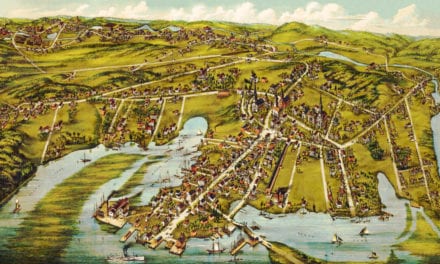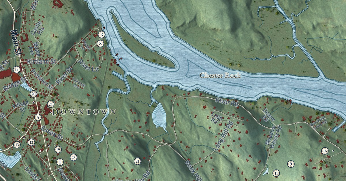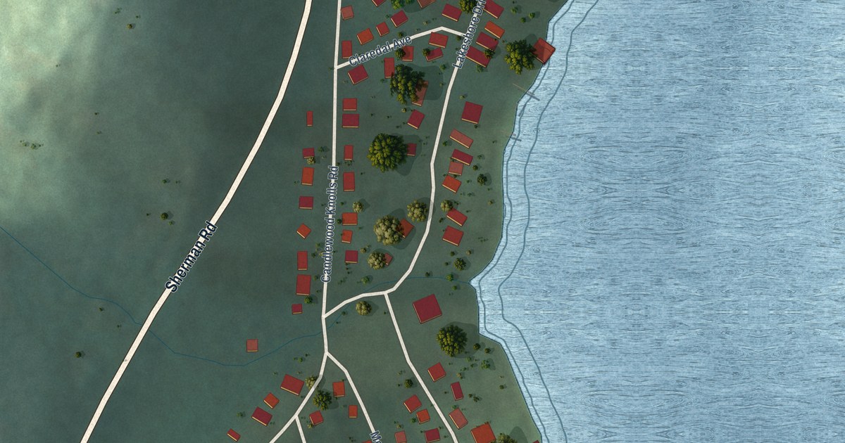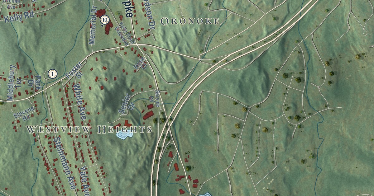
This beautifully detailed map of Middlebury, Connecticut was created in 2026 using aerial imagery combined with modern topographical, census, street and landmark data. It’s a one-of-a-kind view of Middlebury that combines accurate data with a vintage aesthetic. The map shows every building in its true location, many of the roads carry their names, and the shaded topographic relief shows the shape of the land.
See it on a wall
The Middlebury map as an 18 x 24 inch print in a black frame.

Explore an aerial view of Middlebury, Connecticut
On the map you’ll find Downtown, Bradleyville, Oronoke, Hillcrest, Westview Heights, Bedlam Hill, Breakneck Hill, Buell Flats, Great Hill, Abbotts Pond, Atwood Pond, Juniper Hill, and more. If you look closely you can even find your house accurately drawn in its correct location. Zoom in on the preview to look for yours. Click here to learn more about the history of Middlebury.
Take a closer look at the Middlebury map
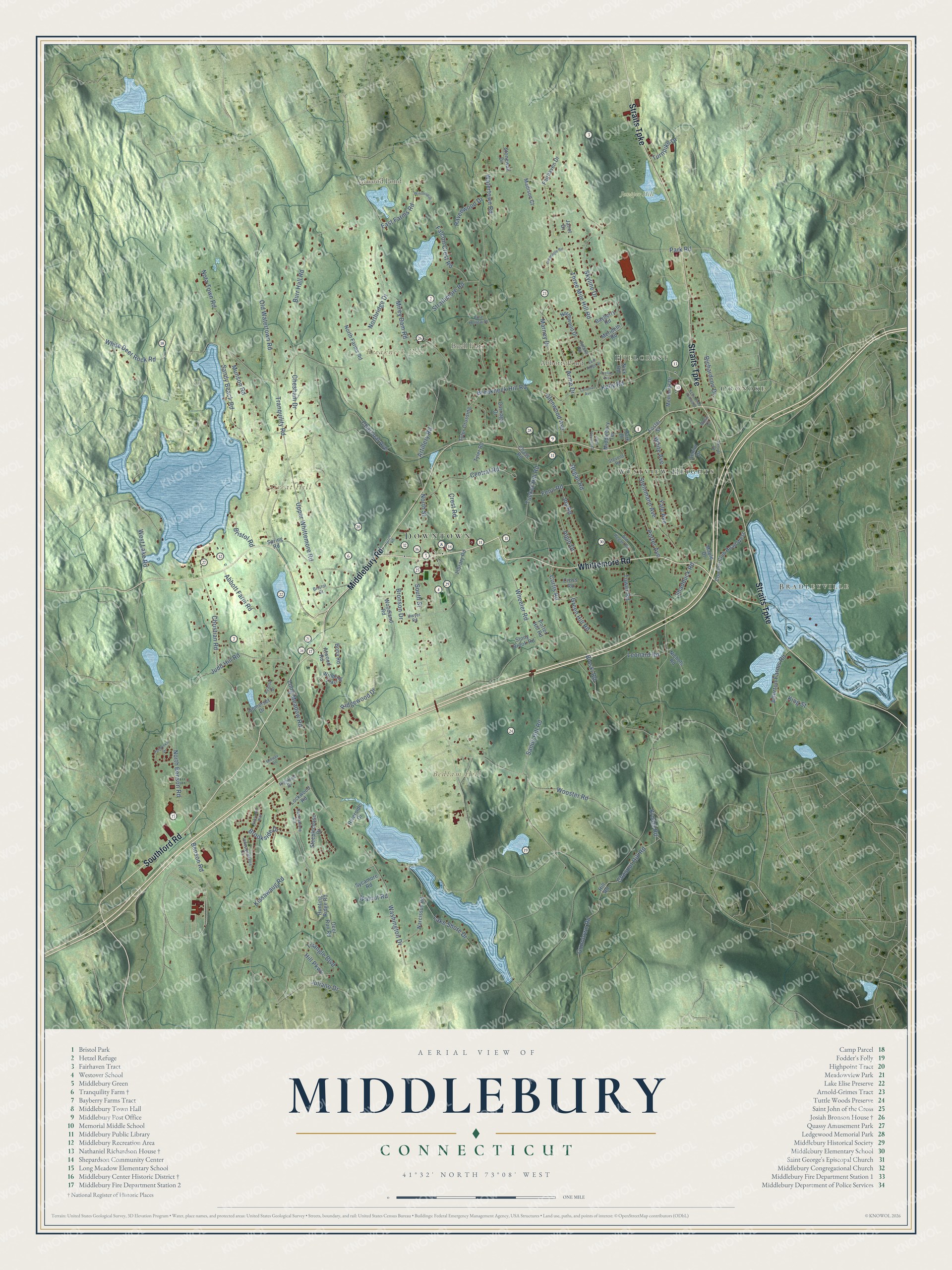
Click to explore a larger preview. The digital watermark does not appear on printed maps.
Names on this map
These names are printed on this map.
Places: Downtown, Bradleyville, Oronoke, Hillcrest, Westview Heights, Bedlam Hill, Breakneck Hill, Buell Flats, Great Hill, Abbotts Pond, Atwood Pond and Juniper Hill.
Streets and roads: Whittemore Road, Middlebury Road, Straits Turnpike, Southford Road, Glenwood Avenue, Wheeler Road, Kelly Road, North Street, Christian Road, South Street, White Deer Rock Road, Long Meadow Road.
More street names, A to Z
Abbott Farm Road, Acme Drive, Algin Drive, Allerton Farms Road, Artillery Road, Atwood Road, Avalon Drive, Aveline Avenue, Bayberry Road, Benson Road, Bioski Road, Bona Road, Breakneck Hill Road, Bristol Drive, Bristol Road, Bronson Drive, Brookside Drive, Burr Hall Road, Carriage Drive, Central Road, Charcoal Avenue, Chase Road, Chesham Drive, Chesnut Hill Road, Clear View Knoll, Colonial Avenue, Country Club Road West, Crest Road, Cross Road, Curtis Road, Deer Run Road, Dwyer Road, East Farms Road, East Ridge Drive, Fairhaven Drive, Falcon Crest Road, Fenn Road, Foster Street, Gleneagle Road, Green Hill Road, Gunntown Road, Hackamore Circle, Highland Drive, Hill Parkway, Hill Road, Hunting Ridge Road, Independence Circle, Janet Drive, Joy Road, Judd Hill Road, Juliano Drive, Kelly Road Extended, King Street, Kissawaug Road, Krodel Road, Lake Shore Drive, Leonard Road, Library Road, Lockwood Road, Madison Court, Maple Drive, Marney Drive, Memorial Drive, Merideth Road, Middlebury Terrace, Midway Drive, Mirey Dam Road, Munson Road, Nantucket Way, Narcissus Road, Nichols Road, Nick Road, North Benson Road, North Farms Road, Northridge Drive, Northwood Drive, Nota Town Road, Old Regan Road, Old Watertown Road, Park Drive, Park Road, Periwinkle Drive, Pine Hollow Drive, Porter Avenue, Porter Hill Road, Ravenwood Drive, Regan Road, Richardson Drive, Ridgewood Drive, Riverside Drive, Rose Court, Sandy Beach Road, Sandy Hill Road, Senior Drive, Service Road, Shadduck Road, Skyline Drive, Somerset Drive, Spring Road, Steeplechase Drive, Steinmann Avenue, Stevens Road, Stonewall Drive, Stony Brook Road, Store Road, Strathmore Road, Sycamore Road, Three Mile Hill Road, Tower Road, Tranquility Road, Triangle Boulevard, Tucker Hill Road, Turnpike Drive, Tyler Crossing, Tyler Road, Upland Road, Upper Whittemore Road, Walnut Road, Washington Drive, Watertown Road, West Lake Road, White Avenue, Winding Trail, Winthrup Drive, Woodland Road, Wooster Road, Yale Avenue.
This beautifully detailed map of Middlebury makes an attractive addition to your office, library, or den, and it can even be used to teach children the geography and history of the area. It also makes a great gift for someone who left Middlebury and still calls it home. When you’re done exploring, click here to get your copy of the Middlebury map.