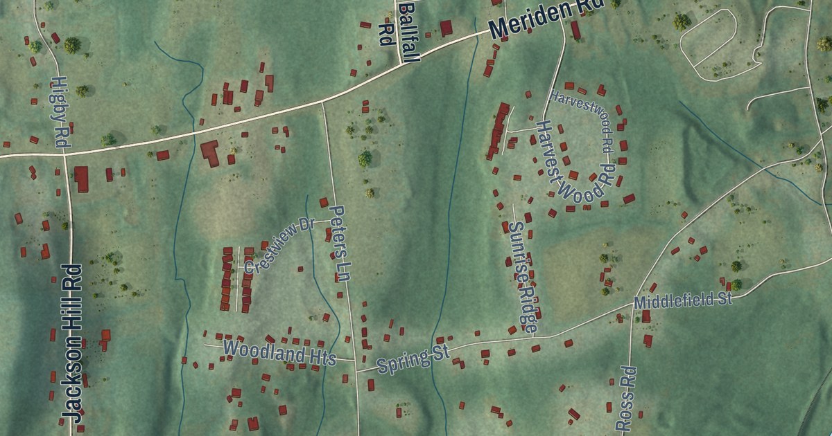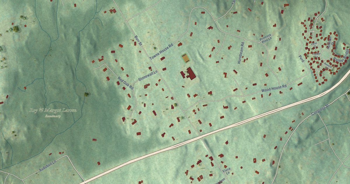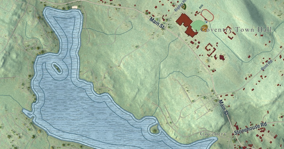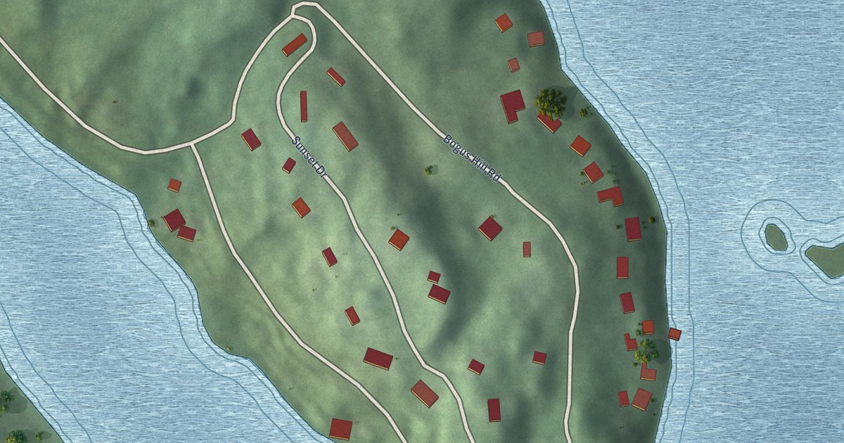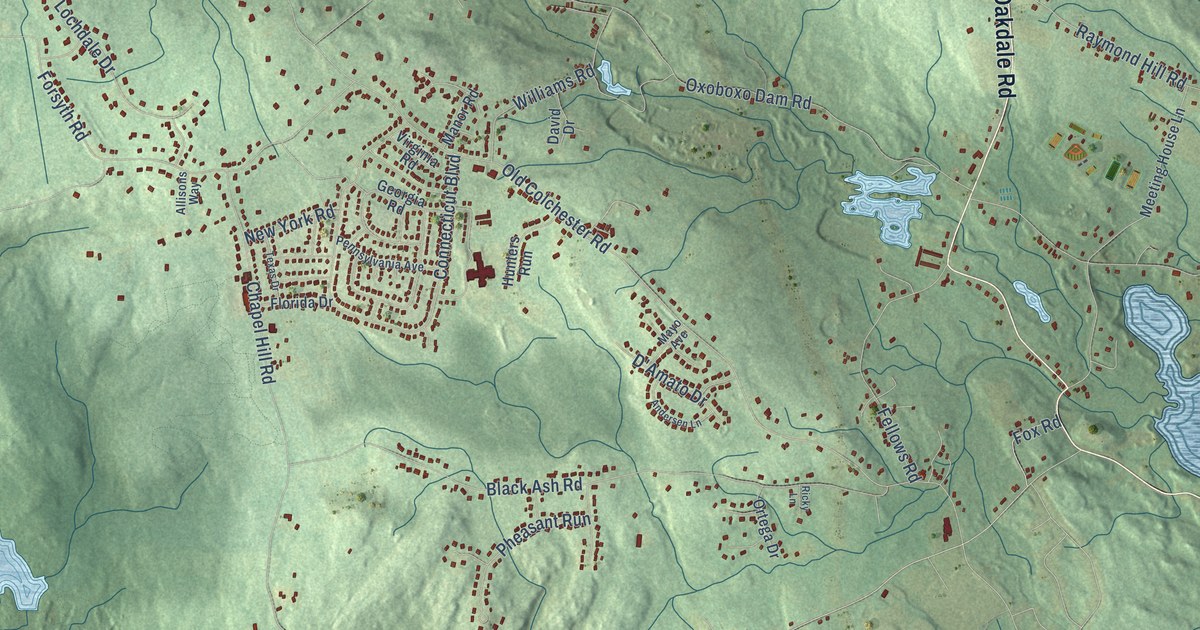
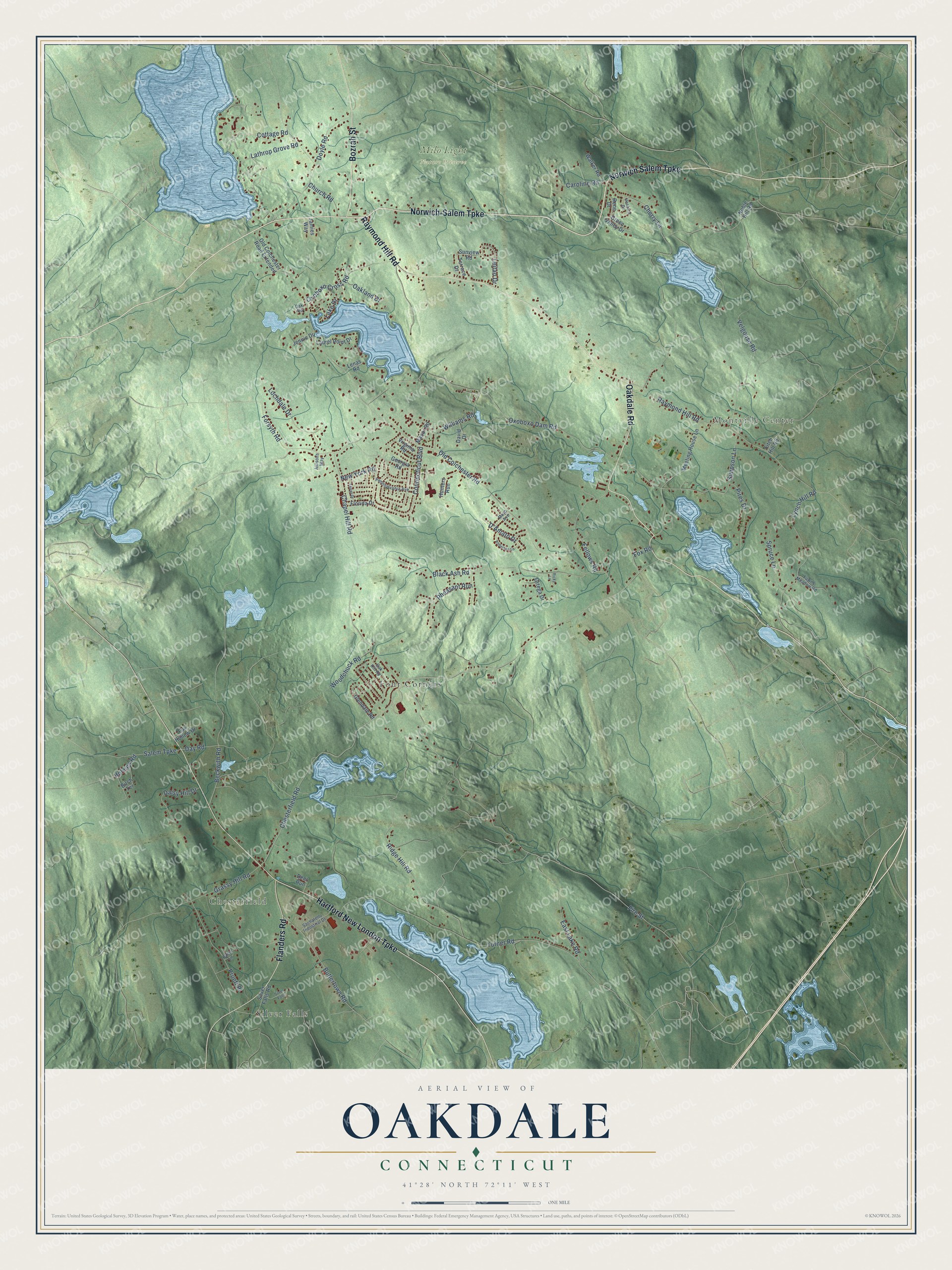
This beautifully detailed map of Oakdale, Connecticut was created in 2026 using aerial imagery combined with modern topographical, census, street and landmark data. It’s a one-of-a-kind view of Oakdale that combines accurate data with a vintage aesthetic. The map shows every building in its true location, many of the roads carry their names, and the shaded topographic relief shows the shape of the land.
Explore an aerial view of Oakdale, Connecticut
On the map you’ll find Chesterfield, Montville Center, Milo Light Nature Preserve, Four Corners, and Silver Falls, along with Norwich-Salem Turnpike, Oakdale Road, Hartford New London Turnpike, Raymond Hill Road, Flanders Road, Bozrah Street, and more. If you look closely you can even find your house accurately drawn in its correct location. Zoom in on the preview to look for yours.
Did You Know?
From Internet Archive: "Post-offices, Montville, Gardner's Lake, Leffingwell, Uncasville, Chesterfield, Massapeag, Mohegan, and Oakdale. * Settled in 1639, under New Haven; submitted to Connecticut, November, 1664. 342 STATISTICS OF TOWNS."
Oakdale is a community in Southeastern Connecticut County.
Take a closer look at the Oakdale map
Names on this map
These names are printed on this map.
Places: Chesterfield, Montville Center, Milo Light Nature Preserve, Four Corners and Silver Falls.
Streets and roads: Norwich-Salem Turnpike, Norwich Salem Turnpike, Oakdale Road, Hartford New London Turnpike, Raymond Hill Road, Flanders Road, Bozrah Street, Cherry Lane, Cottage Road, Chesterfield Road, Old Colchester Road, Fire Street.
More street names, A to Z
Allisons Way, Andersen Lane, Beckwith Road, Birch Terrace, Black Ash Road, Butlertown Road, Caroline Road, Chapel Hill Road, Church Road, Connecticut Boulevard, D'Amato Drive, Daisy Hill Drive, David Drive, Day Road, Deer Run, Doyle Road, East Lake Road, Fawns Meadow Road, Fellows Road, Fitch Hill Road, Florida Drive, Forsyth Road, Fox Hollow Drive, Fox Road, Georgia Road, Glendale Road, Grassy Hill Road, Green Valley Drive, Holmes Road, Hunters Run, Jamies Way, Jennie Drive, Lake Drive, Lathrop Grove Road, Laurel Point Drive, Leitao Drive, Lenas Road, Lochdale Drive, Lynch Hill Road, Manor Road, Mayo Avenue, Meeting House Lane, New York Road, Noble Hill Road, Oak Hill Road, Oakland Drive, Oak Road, Old Colchester Road Extended, Ortega Drive, Oxoboxo Cross Road, Oxoboxo Dam Road, Pennsylvania Avenue, Pheasant Run, Pires Drive, Pruett Place, Rene Drive, Ricky Lane, Ridge Hill Road, Robin Lane, Sachatello Industrial Drive, Salem Turnpike, Silver Falls Road, Simpson Lane, Spruce Lane, Sunview Road, Terrace Drive, Texas Drive, Turner Road, Velgouse Road, Ventura Drive, Virginia Road, Walker Road, Williams Road, Woodchuck Road.
See it on a wall
The Oakdale map as a framed print. Swipe for more.


This beautifully detailed map of Oakdale makes an attractive addition to your office, library, or den, and it can even be used to teach children the geography and history of the area. It also makes a great gift for anyone who grew up in Oakdale or moved away. When you’re done exploring, click here to get your copy of the Oakdale map.