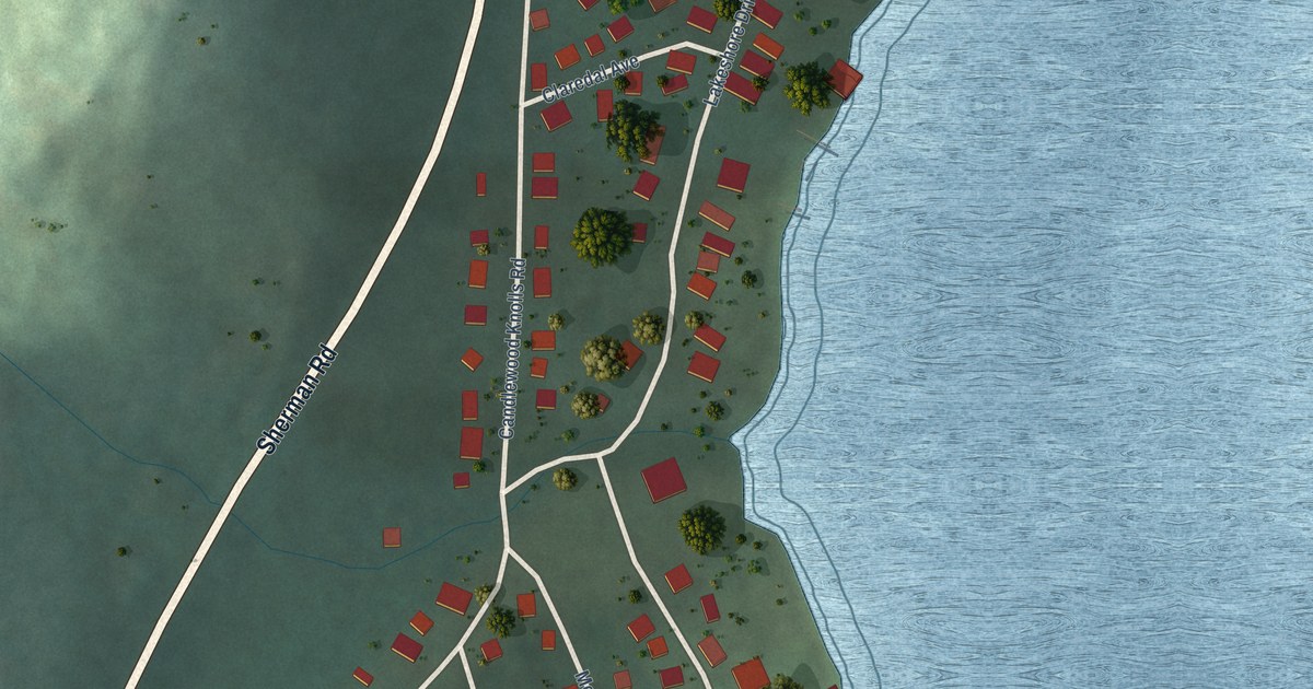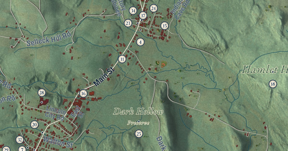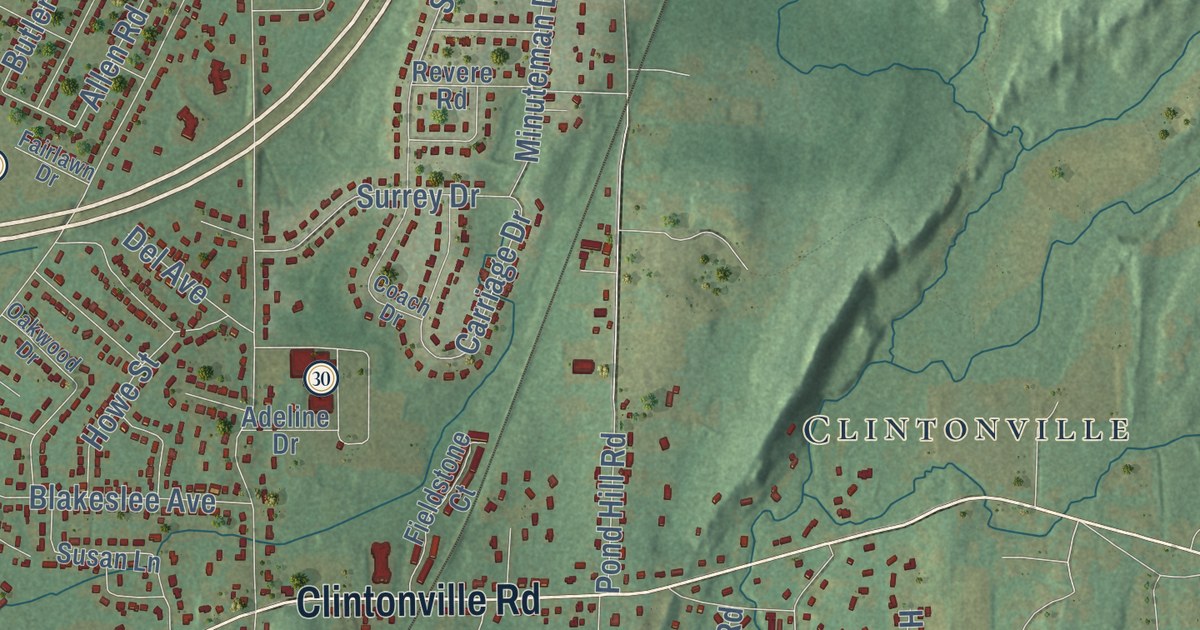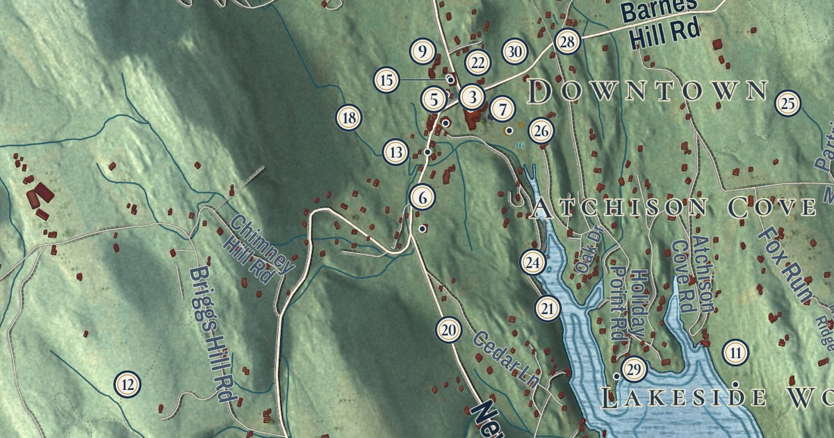
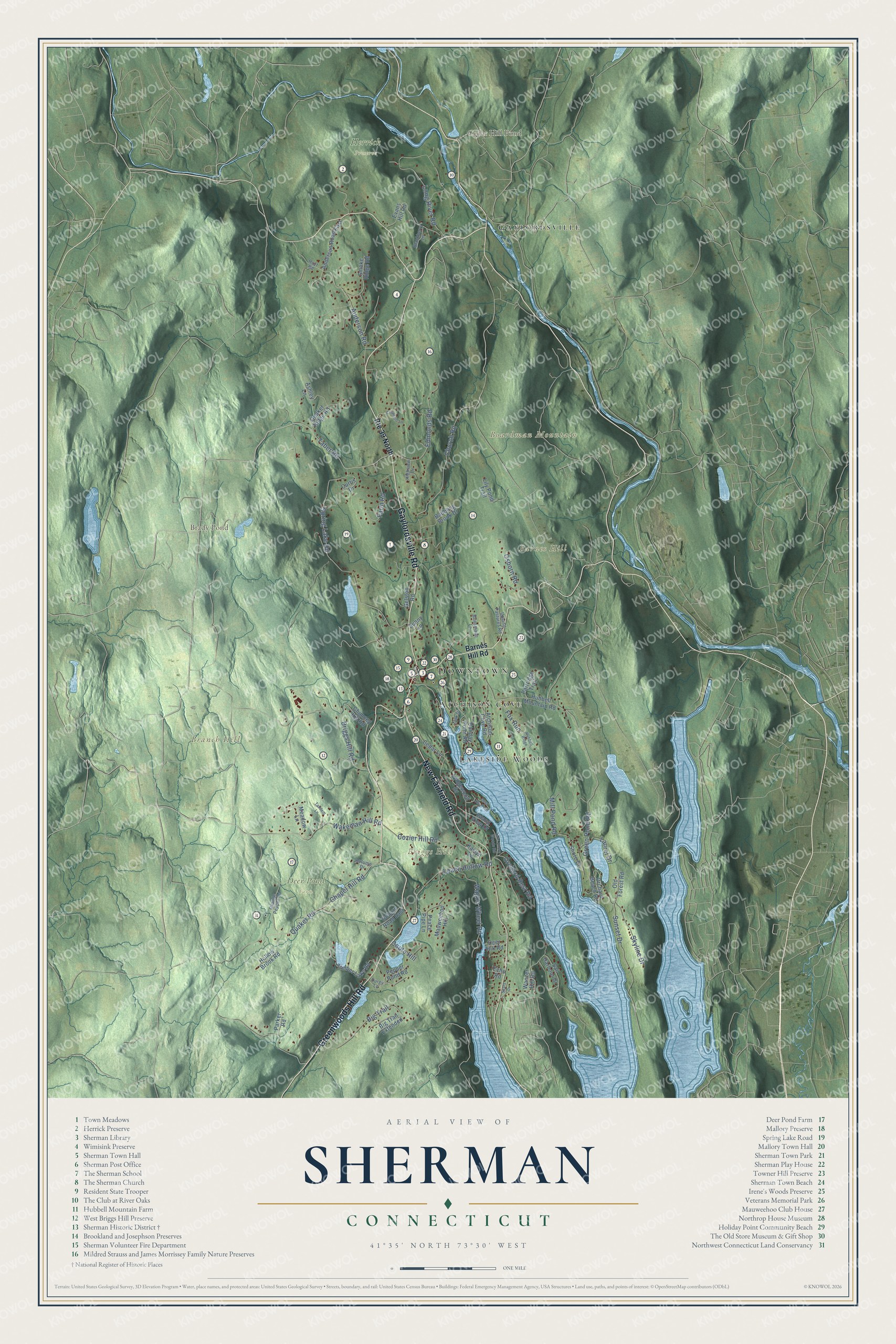
This beautifully detailed map of Sherman, Connecticut was created in 2026 using aerial imagery combined with modern topographical, census, street and landmark data. It’s a one-of-a-kind view of Sherman that combines accurate data with a vintage aesthetic. The map shows every building in its true location, many of the roads carry their names, and the shaded topographic relief shows the shape of the land.
See it on a wall
The Sherman map as an 18 x 24 inch print in a black frame.

Explore an aerial view of Sherman, Connecticut
On the map you’ll find Downtown, Barnes Hill, Boardman Mountain, Branch Hill, Briggs Hill, Brady Pond, Cedar Hill Pond, Deer Pond Farm, Herrick Preserve, Lakeside Woods, Gaylordsville, Atchison Cove, and more. If you look closely you can even find your house accurately drawn in its correct location. Zoom in on the preview to look for yours. Click here to learn more about the history of Sherman.
Take a closer look at the Sherman map
Click to explore a larger preview. The digital watermark does not appear on printed maps.
Names on this map
These names are printed on this map.
Places: Downtown, Barnes Hill, Boardman Mountain, Branch Hill, Briggs Hill, Brady Pond, Cedar Hill Pond, Deer Pond Farm, Herrick Preserve, Lakeside Woods, Gaylordsville and Atchison Cove.
Streets and roads: Gaylordsville Road, Greenwoods Hill Road, New Fairfield Road, Taber Road, Green Pond Road, Spring Lake Road, Long River Road, Church Road, Chapel Hill Road, Quaker Road, Briggs Hill Road, Wakeman Hill Road.
More street names, A to Z
Anderson Road, Anderson Road East, Ashley Lane, Atchison Cove Road, Autumn Drive, Babbling Brook Drive, Barnes Hill Road, Big Trail, Big Trail Extended, Blackberry Lane, Brinsmade Lane, Cedar Lane, Chimney Hill Road, Coburn Road East, Coote Hill, Cozier Hill Road, Crawford Lane, Curtis Drive, Deer Hill Road, Deer Run Trail, Durgy Lane, Echo Road, Edmonds Road, Evans Hill Road, Farm Road, Fox Run, Gelston Road, Highview Lane, Holiday Point Road, Hollow Brook Road, Hoyt Road, Hubbell Mountain Road, Hubbell Ridge, Island View Drive, Kaylyn Lane, Lake Shore Woods Road, Laurel Drive, Leach Hollow Road, Ledgewood Drive, Lily Pond Trail, Mauweehoo Hill, Meadow Lane, Mill Pond Road, Oak Drive, Old Forest Road, Orange Pepper Road, Orchard Beach Road, Orchard Rest Road, Osborn Road, Parker Road, Partridge Trail, Peace Pipe Lane, Pepper Pond Road, Quaker Ridge Road, Route 39 North, Sail Harbour Drive, Sears Drive, Shore Drive, Skyline Drive, Smoke Ridge Road, Sunny Lane, Sunset Drive, Tandem Lane, Timber Lake Road, Upland Pastures Road, Wagon Wheel Road, Wanzer Hill Road.
This beautifully detailed map of Sherman makes an attractive addition to your office, library, or den, and it can even be used to teach children the geography and history of the area. It also makes a great gift for anyone who grew up in Sherman or moved away. When you’re done exploring, click here to get your copy of the Sherman map.